The best traffic-free bike rides around The Municipal District of Arklow
4.8
(4)
18
riders
3
rides
Gravel biking around The Municipal District of Arklow offers diverse terrain, from coastal paths to mountainous glens and river valleys. The region is characterized by its proximity to the Wicklow Mountains, providing extensive gravel trails with varied elevation gains. Riders can explore riverine trails along the Avoca River and discover unique landscapes like the Arklow Sand Dunes. This area provides a mix of paved and unpaved surfaces, suitable for different skill levels.
Best no traffic gravel bike trails around The…
Last updated: July 10, 2026
4
riders
98.9km
08:48
1,890m
1,890m
This difficult 61.5-mile gravel biking loop through the Wicklow Mountains National Park offers challenging climbs and stunning Irish scenery
4.0
(1)
1
riders
25.4km
02:09
420m
420m
Moderate gravel ride. Good fitness required. Mostly paved surfaces. Suitable for all skill levels.

Sign up for free
5.0
(1)
1
riders
24.4km
01:42
420m
420m
Moderate gravel ride. Good fitness required. Mostly paved surfaces. Suitable for all skill levels.
Our route recommendations are based on thousands of hikes, rides, and runs completed by other people on komoot.
Start today with a free account
Your next adventure awaits.
Login or Signup
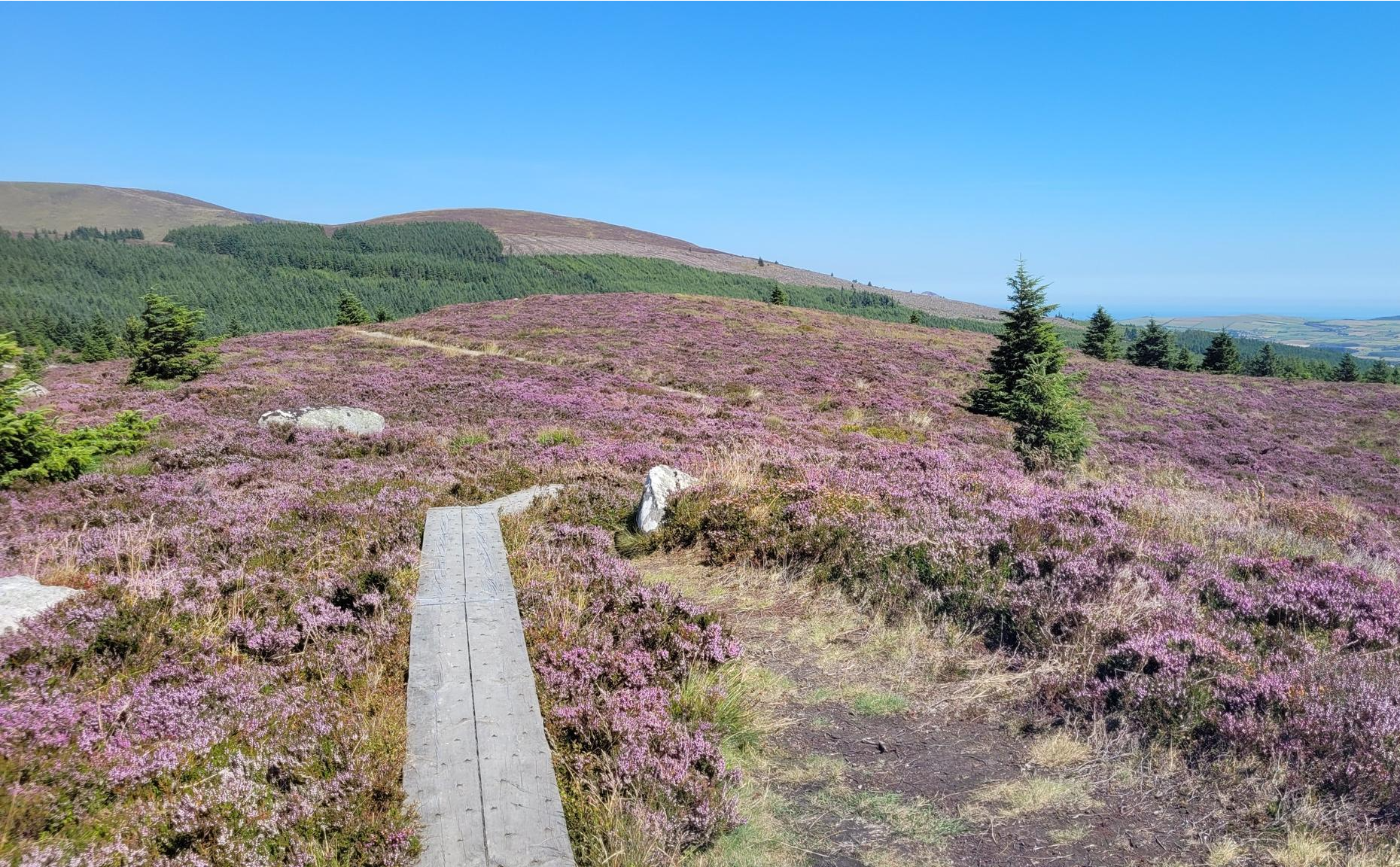
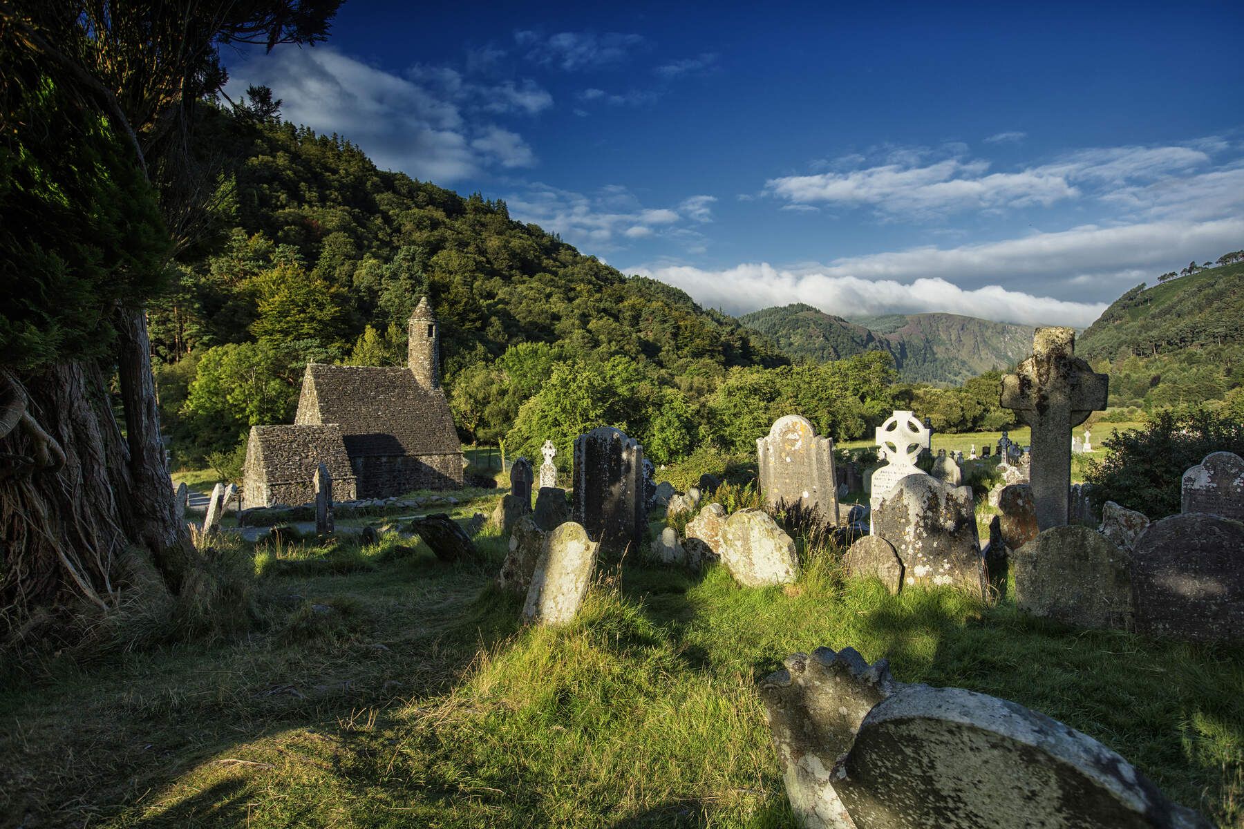
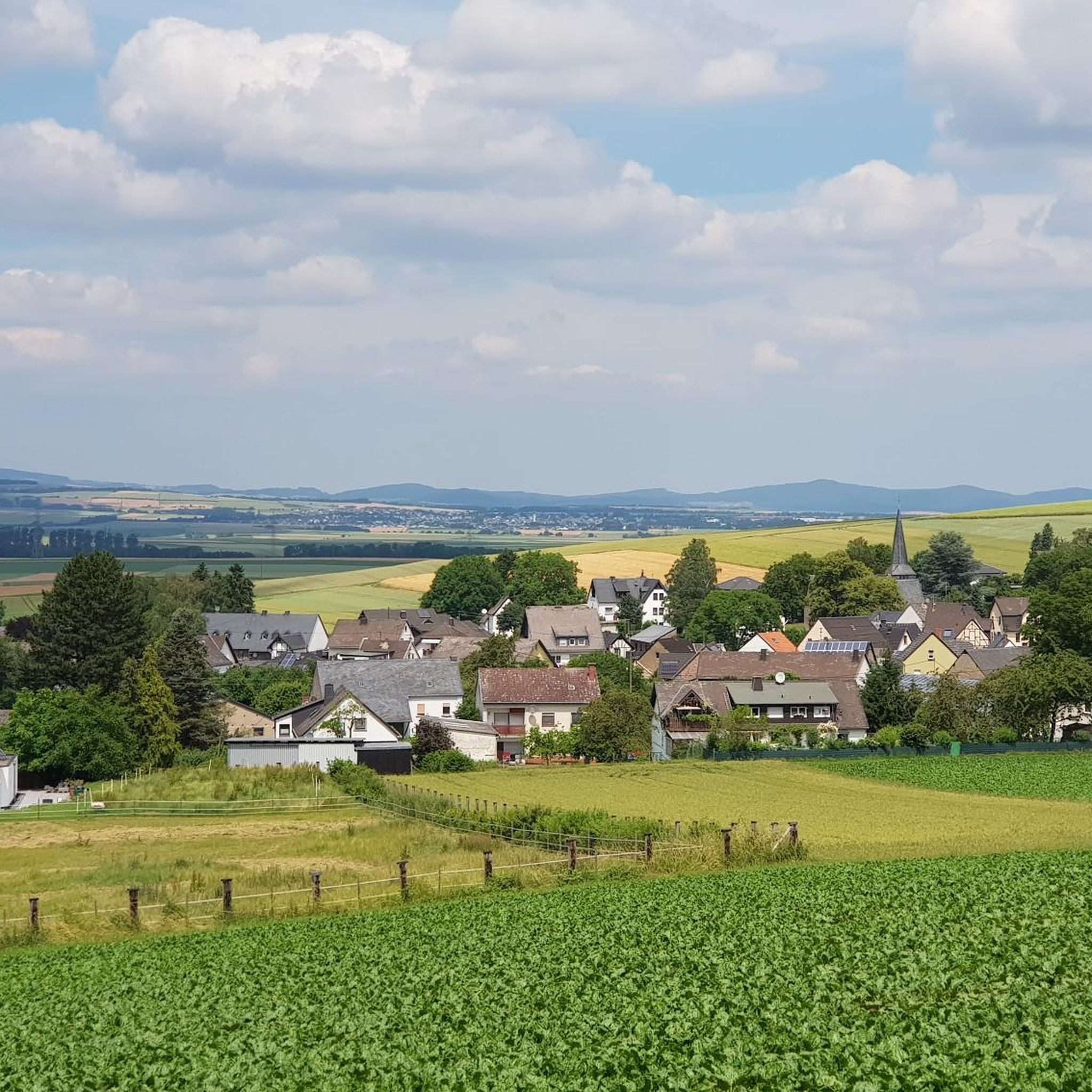
Other adventures around The Municipal District of Arklow


Tips from the Community

A really great old monastery complex where there is a lot to discover.
0
0

Located at the foot of the Wicklow Mountains, this bridge offers a picturesque view of the babbling Avonmore River. The current five-arch stone bridge was built around 1754 by John Braddel and connects the lower part of Rathdrum with the charming hilltop village centre. Look downstream from the bridge to catch a glimpse of the impressive Victorian railway viaduct, a masterpiece of civil engineering from the 1860s. This area was once the beating heart of the local wool industry and corn mills.
7
0

Large area with an ancient monastery settlement, hiking trails, and 2 lakes.
0
0

Wicklow is a town with approx. 13,000 inhabitants and the administrative seat of County Wicklow. The 33-kilometer-long river Vartry flows through the town.
1
0

The name "Deputy’s Pass" is believed to refer to a historic route through the mountains that was once used for traveling between the town of Rathdrum and the surrounding areas. Deputy’s Pass Woods offers a stunning variety of landscapes, including lush forests, rugged terrain, and beautiful views of the surrounding Wicklow Mountains.
1
0
Rathdrum Bridge is a historic bridge spanning the Avoca River. Rathdrum itself was an important town during the 18th and 19th centuries, serving as a vital link for trade and transportation. The Avoca River was crucial for the local economy, particularly in relation to the Avoca mines and the surrounding agricultural community. The bridge likely dates back to the 19th century and was a critical structure for connecting the town to the rural areas of County Wicklow.
1
0
Barrinisky Mountain, located in County Wicklow, offers stunning panoramic views of the surrounding valleys and peaks, including Glencree Valley and Lugnaquilla. The mountain provides a challenging but rewarding ride through rugged terrain, showcasing the natural beauty of the Wicklow mountains.
0
0
Frequently Asked Questions
What kind of terrain can I expect on no traffic gravel bike trails in The Municipal District of Arklow?
The Municipal District of Arklow offers a diverse mix of terrain for gravel biking. You'll find routes that combine paved and unpaved surfaces, ranging from easy, family-friendly paths to more challenging ascents. The region provides access to the broader Wicklow Mountains, known for extensive gravel trails, as well as coastal paths and riverine trails along the Avoca River. Expect a blend of rolling hills, serene river valleys, and dramatic mountain backdrops.
Are there any challenging no traffic gravel bike routes with significant elevation in the area?
Yes, for riders seeking a challenge, the region offers routes with significant elevation gains. For instance, the Exploring the Wicklow mountains loop from Wicklow is a difficult route with over 1800 meters of ascent. The broader Wicklow Mountains also provide challenging climbs, sometimes requiring pushing bikes on steeper sections for advanced riders.
What are some scenic highlights or natural features I might encounter on these trails?
The no traffic gravel bike trails in The Municipal District of Arklow are rich with natural beauty. You can expect views of the Wicklow Mountains, often referred to as the "Garden of Ireland," and picturesque areas like the Glenmalure Valley. Along some routes, you might pass by the scenic Avoca River or the unique Arklow Sand Dunes. Highlights such as Fraughan Glen Waterfall and various mountain summits like Mullacor Peak are also within the wider area.
Are there any family-friendly no traffic gravel bike routes in The Municipal District of Arklow?
Yes, there are options suitable for families. The Arklow Nature and Wildlife Reserve features a 2km trail around a lake, which is ideal for easy cycling and scooting, offering flat, paved, and off-road looped routes. This provides a safe and enjoyable experience away from traffic. For more information, you can visit Visit Arklow's family-friendly trails guide.
Where can I park my car when accessing these gravel bike trails?
Parking availability varies by trailhead. For routes like the Barranisky Mountain – Coastal View of Brittas Bay loop from Cronebane ED, you would typically look for parking in or around Cronebane ED. For routes starting near Rathdrum, such as Exploring Deputy Pass woods from Rathdrum, parking would be available in Rathdrum. It's always advisable to check the specific route details on komoot for recommended starting points and parking information.
What is the best time of year for gravel biking in The Municipal District of Arklow?
The Municipal District of Arklow offers enjoyable gravel biking throughout much of the year. Spring and autumn generally provide pleasant temperatures and beautiful scenery, with less extreme weather than summer or winter. Summer can be great for longer days, but trails might be busier. Winter can be challenging due to colder temperatures and potentially wet conditions, but offers a unique, quieter experience for well-prepared riders.
Are there any circular no traffic gravel bike routes available?
Yes, several routes in the area are designed as loops, allowing you to start and finish at the same point. Examples include the Exploring the Wicklow mountains loop from Wicklow and the Barranisky Mountain – Coastal View of Brittas Bay loop from Cronebane ED. These circular routes are convenient for planning your ride without needing shuttle arrangements.
What do other gravel bikers enjoy most about the trails in The Municipal District of Arklow?
The area is highly rated by the komoot community, with an average score of 4.75 stars. Reviewers often praise the diverse landscapes, the sense of tranquility on the no-traffic sections, and the rewarding views, especially those encompassing the Wicklow Mountains and the coast. The mix of challenging climbs and scenic descents is also frequently highlighted.
Can I access these gravel bike trails using public transport?
While some routes may be accessible by public transport to nearby towns like Arklow or Rathdrum, direct access to specific trailheads can be limited. It's recommended to check local bus or train schedules to the closest towns and then plan your ride from there, potentially incorporating a short ride on quieter roads to reach the start of the dedicated gravel sections.
Are there any pubs or cafes near the no traffic gravel bike routes for a break?
Yes, the region has various options for refreshments. Towns like Arklow and Rathdrum, which serve as starting points or pass-throughs for some routes, offer cafes and pubs. For example, The Glenmalure Inn is a notable pub located within the wider area, offering a potential stop for those exploring routes in the Glenmalure Valley.
Most popular routes around The Municipal District of Arklow
Most popular attractions around The Municipal District of Arklow

Get inspired with the komoot mobile app


Explore more
Browse the best Gravel rides in other regions.
