The best hikes from bus stations around Kenmare Municipal District
4.5
(5601)
27,113
hikers
45
hikes
Bus station hiking trails around Kenmare Municipal District are set within County Kerry, Ireland, a region characterized by rugged mountains like the MacGillycuddy's Reeks and Caha Mountains, alongside picturesque coastlines bordering Kenmare Bay. The landscape also features tranquil valleys, ancient woodlands such as Reenagross Woodland Park, and numerous rivers and lakes. This diverse terrain offers a variety of hiking experiences, from coastal paths to mountain ascents.
Best bus station hiking trails around Kenmare Municipal District
- The most popular bus station…
Last updated: June 26, 2026
4.6
(25)
100
hikers
11.7km
03:20
260m
260m
Moderate hike. Good fitness required. Easily-accessible paths. Suitable for all skill levels.
4.5
(23)
75
hikers
9.58km
03:04
390m
380m
Hike the Cahersiveen Beentee Loop, a moderate 6.0-mile trail near Cahersiveen, offering panoramic views from Beentee Summit.

Sign up for free
4.0
(1)
5
hikers
10.5km
03:17
410m
410m
Hike the moderate 6.5-mile Windy Gap from Glenbeigh trail for panoramic views of Lough Caragh and the MacGillycuddy's Reeks.
4.5
(28)
223
hikers
Easy hike. Great for any fitness level. Easily-accessible paths. Suitable for all skill levels.
4.6
(5)
17
hikers
11.5km
03:26
300m
300m
Moderate hike. Good fitness required. Easily-accessible paths. Suitable for all skill levels.
Get access to more routes and recommendations from other explorers.
Sign up for free
Already have an account?
Our route recommendations are based on thousands of hikes, rides, and runs completed by other people on komoot.
Start today with a free account
Your next adventure awaits.
Login or Signup
Popular around Kenmare Municipal District
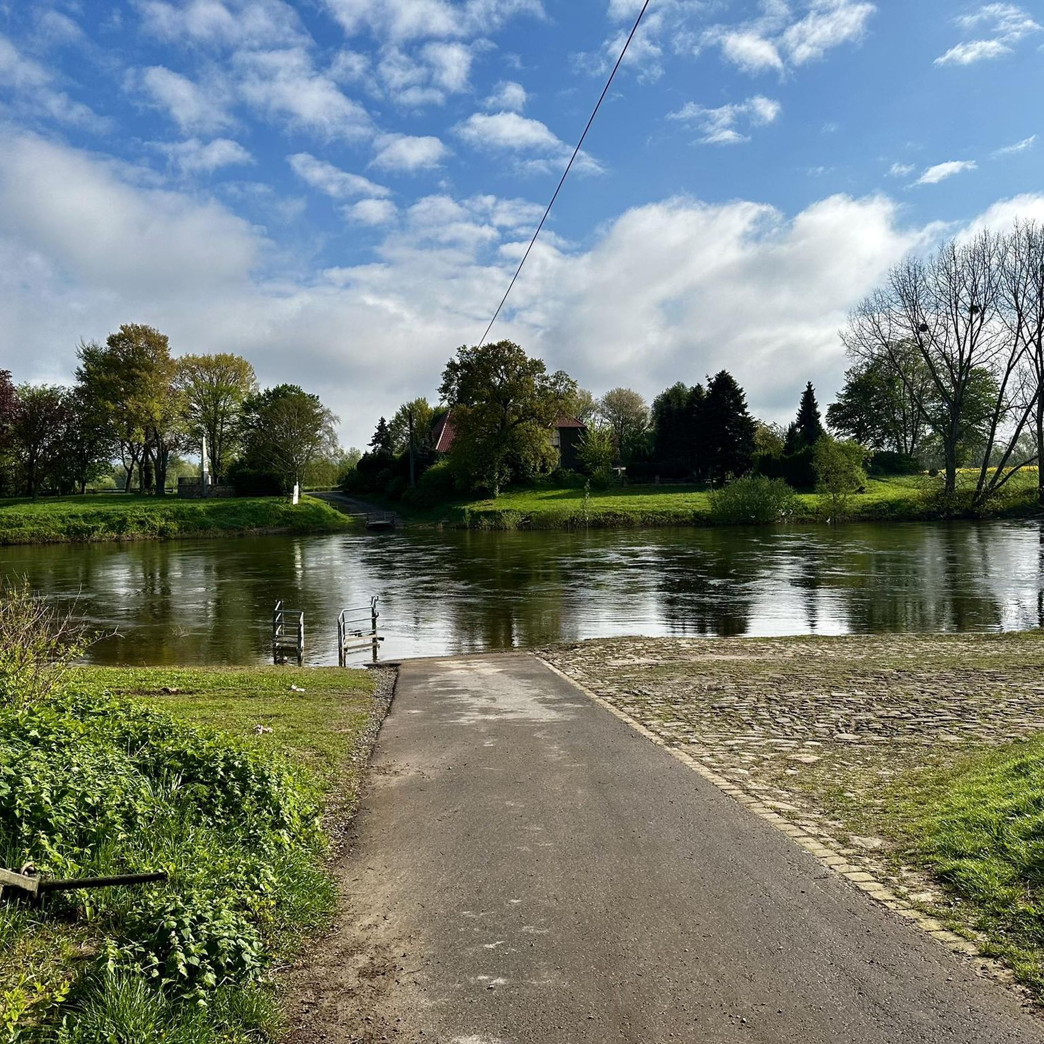
Hikes from bus stations in the MacGillycuddy's Reeks
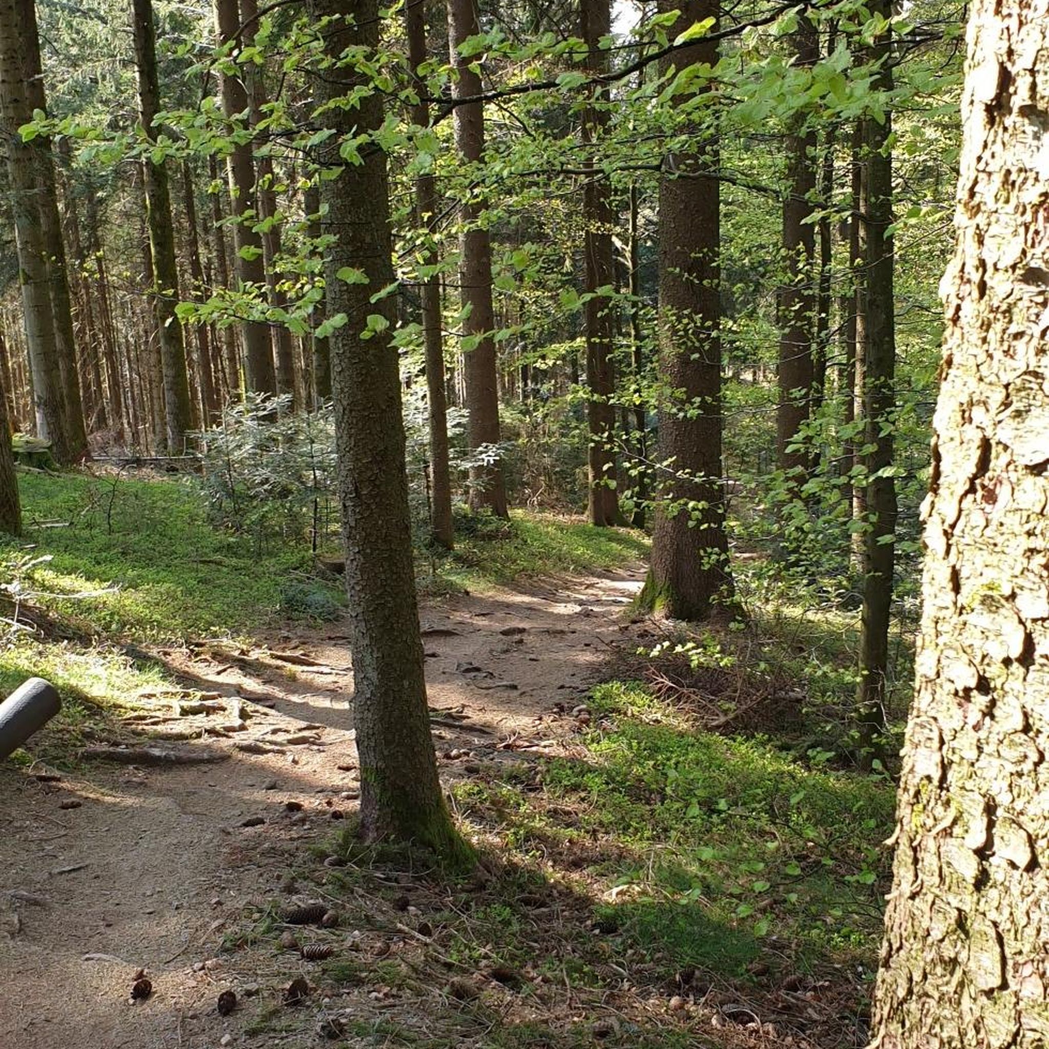
Hikes from bus stations around Lough Caragh
Hikes from bus stations around Lough Currane
Hikes from bus stations around Glenmore Lake
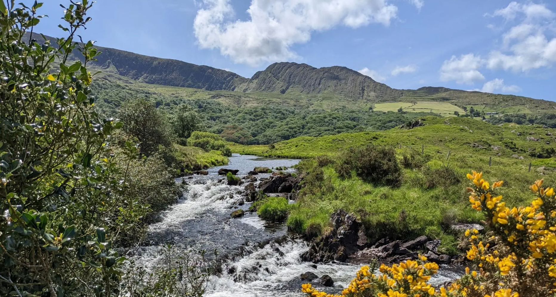
Beara Way – The Atlantic, rugged mountains and stunning coast
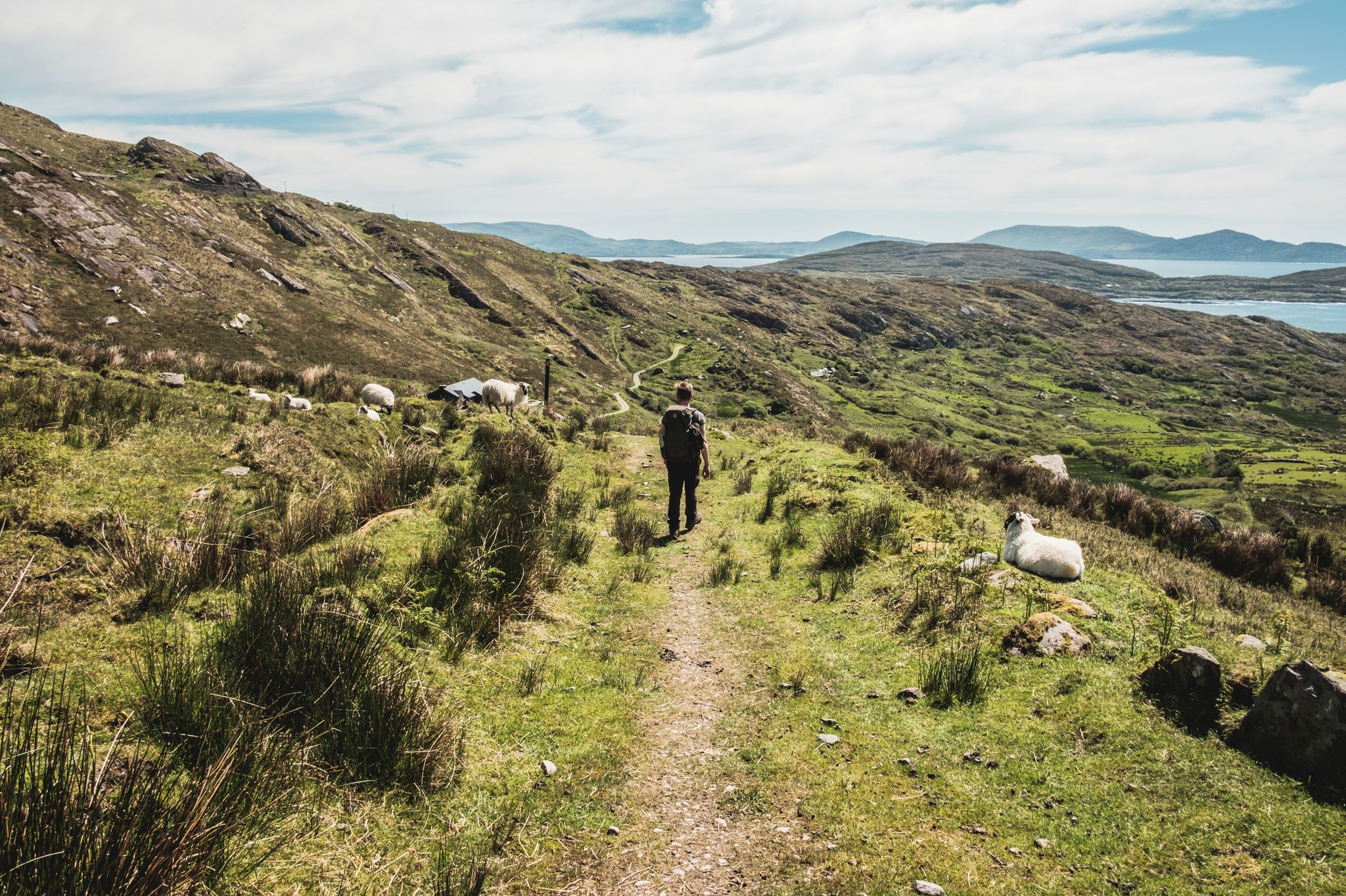
The Kerry Way — 9 mountainous stages in south west Ireland
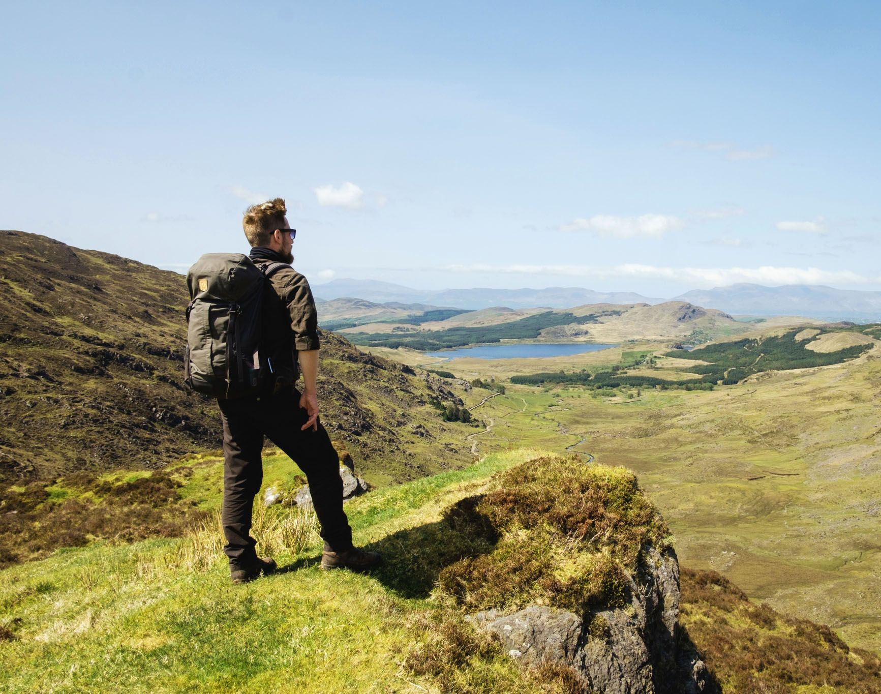
Ireland's finest – three days along the Kerry Way Loop

Follow the water - Along Ireland's rivers and lakes
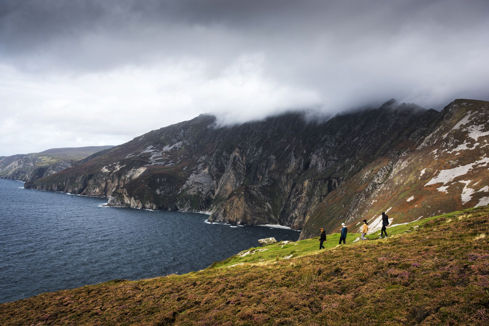
Hike Ireland's coast: cliffs, waves and wonderful wide beaches
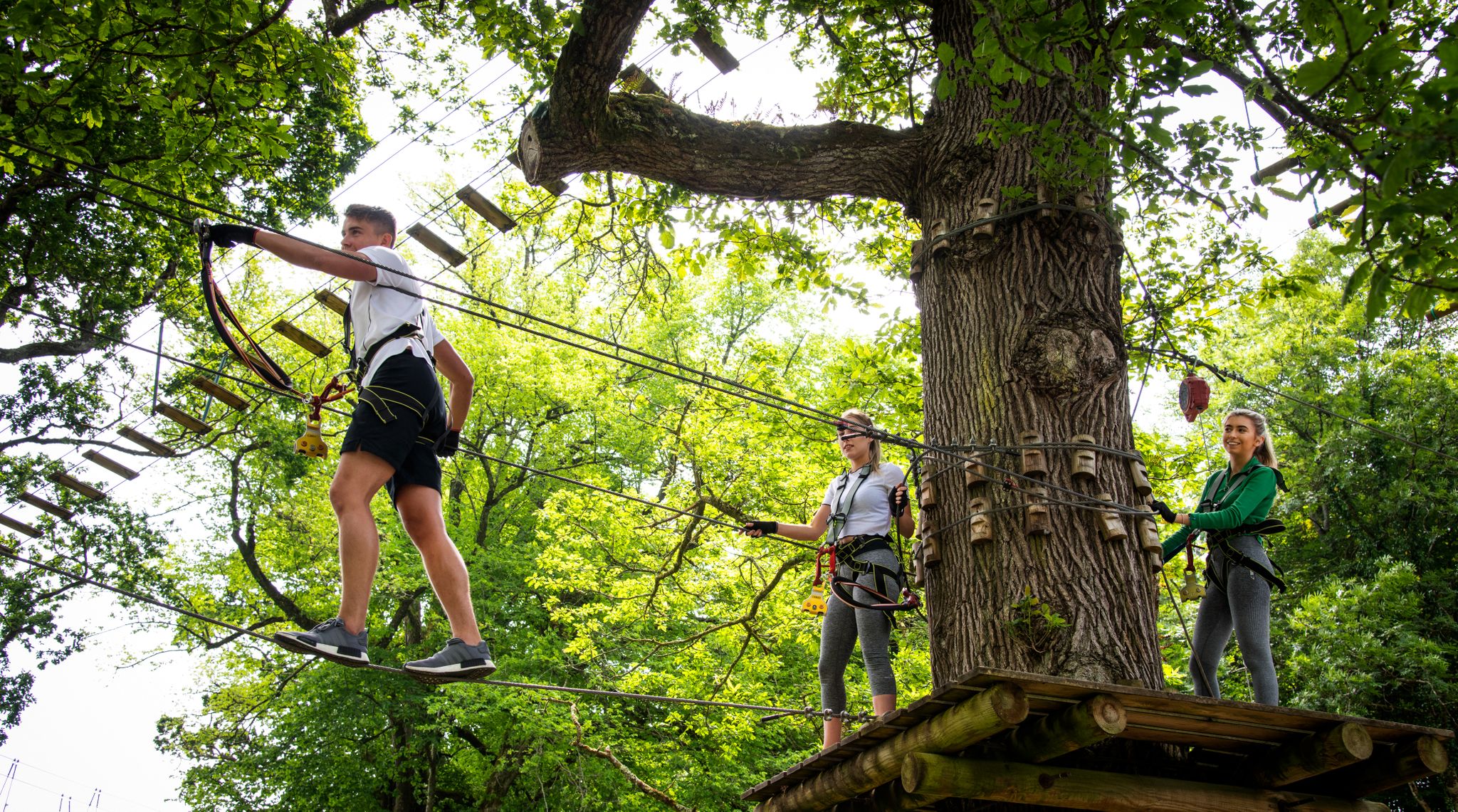
Awaken your spirit of discovery — family-friendly walks in Ireland
Other adventures around Kenmare Municipal District


Tips from the Community

Stressful by car, as the roads are narrow and there are few places to pull over. On foot it is simply a dream...
0
0

During a visit to this small town, deeply marked by the struggle for independence, visit the Heritage Centre (Old Barracks, Bridge St.). Here, among other things, the story is told of its most famous inhabitant, Daniel O'Connell (1775-1847), who fought for the emancipation of Catholics. On the other side of the estuary, in Kimego West, do not miss two of Kerry's most beautiful round forts.
7
0

Great view - absolute expanse - Quiet. Impressive
0
0

Wonderful far-reaching views on a clear day across to Bantry Bay on the way up, or down, the climb. You're exposed to the elements up here, so don't forget your weather-proof gear.
0
0


One of the many places to stop to admire the lakes and the gap of Dunloe: simply incredible.
0
0
Frequently Asked Questions
How many bus-accessible hiking trails are available in Kenmare Municipal District?
There are over 30 hiking trails in Kenmare Municipal District that are easily accessible from bus stations, offering a variety of experiences for all skill levels. This guide focuses specifically on these convenient routes.
Are there any easy, family-friendly walks accessible by bus in the Kenmare area?
Yes, several easy routes are perfect for families. For instance, the View of the Gap of Dunloe – Black Lake loop from Killarney Shuttle Bus is an easy 6 km path that offers stunning views without significant elevation gain. The region also features tranquil woodlands like Reenagross Woodland Park, which has 3km of walking trails and views over Kenmare Bay, often accessible via local transport options.
Can I find circular hiking routes that start and end at a bus station?
Absolutely. Many of the trails are designed as loops, allowing you to start and finish at the same point, often conveniently located near bus stops. The Rossbeigh Beach loop from Glenbeigh is a great example, offering a moderate 11.7 km circular hike with coastal views.
What kind of natural features or landmarks can I expect to see on these bus-accessible hikes?
Kenmare Municipal District is rich in natural beauty. Depending on your chosen route, you might encounter dramatic mountain ranges like the MacGillycuddy's Reeks, picturesque coastlines of Kenmare Bay, or serene woodlands. Notable natural attractions include the spectacular Gleninchaquin Waterfall and the historic Cashelkeelty Stone Circle. Many routes also offer panoramic viewpoints, such as Bray Head.
Are there any challenging hikes accessible by bus for experienced hikers?
While many routes are moderate, the region offers more challenging options. For instance, the Caha Mountains provide rugged terrain for experienced hikers. Routes like the Cahersiveen Beentee Loop, though moderate, offers significant elevation gain (386m) over 9.5 km, providing a good workout and rewarding views. For truly difficult climbs, some bus routes can get you closer to the base of mountains like Carrauntoohil, though the ascent itself requires careful planning and experience.
What do other hikers say about the bus-accessible trails in Kenmare Municipal District?
The komoot community highly rates the hiking experiences here, with an average score of 4.5 out of 5 stars from over 5,000 reviews. Hikers often praise the diverse landscapes, from coastal paths to mountain views, and the convenience of accessing these trails via public transport.
Are there any routes that offer scenic viewpoints accessible directly from a bus stop?
Yes, many routes provide stunning vistas. The region is part of the Wild Atlantic Way and the Ring of Kerry, known for breathtaking scenery. Routes around Glenbeigh, for example, like the Windy Gap from Glenbeigh, offer elevated views of the surrounding mountains and valleys, often starting near bus accessible points.
Can I find hikes that pass by historical sites or cultural landmarks?
Yes, the region is dotted with historical and cultural points of interest. The Old Kenmare Road, part of the long-distance Kerry Way, is a scenic and historical trail. You can also find ancient sites like the Kenmare Stone Circle and Bonane Heritage Park, which feature archaeological areas. Some bus-accessible routes may pass near or offer detours to these sites.
What is the best time of year to hike these bus-accessible trails?
The best time to hike in Kenmare Municipal District is generally from late spring to early autumn (May to September) when the weather is milder and daylight hours are longer. However, the region's beauty can be enjoyed year-round, with winter offering a different, often more dramatic, landscape for those prepared for colder and wetter conditions.
Are there any moderate walks from bus stations that offer a good balance of distance and elevation?
Certainly. Many of the 24 moderate routes available provide a balanced challenge. The Bridge over the River Behey – River Behy loop from Glenbeigh is a moderate 8.4 km route with a manageable elevation gain of around 150 meters, offering a pleasant and engaging walk from a bus-accessible starting point.
Are there specific bus routes or services I should be aware of for accessing these trails?
Local bus services connect Kenmare with surrounding towns and villages, providing access points to many trailheads. It's advisable to check the current timetables and routes of Bus Éireann or local private operators, as services can vary, especially outside of peak tourist season. Planning your bus journey in advance will ensure smooth access to your chosen hiking trail.
Most popular routes around Kenmare Municipal District
Most popular attractions around Kenmare Municipal District

Get inspired with the komoot mobile app


Didn’t find what you were looking for?
Check out more Hikes throughout Kenmare Municipal District below and find the perfect route in your destination.
Explore more
Browse the best Hikes in other regions.
