The best family-friendly hikes and walks around Ohiopyle
4.6
(38)
370
hikers
20
hikes
Family friendly hiking trails around Ohiopyle are set within Pennsylvania's Laurel Highlands, characterized by the rugged Youghiogheny River Gorge, tree-covered mountains, and diverse geological formations. The terrain features dramatic waterfalls, sandstone bedrock, and panoramic overlooks, providing varied landscapes for exploration. This region offers a mix of river-level paths and trails ascending to viewpoints, with elevation changes ranging from gentle slopes to more challenging ascents.
Best family friendly hiking trails around Ohiopyle
- The most popular family friendly hiking route is Ohiopyle…
Last updated: July 7, 2026
5.0
(2)
19
hikers
10.0km
03:09
410m
310m
Moderate hike. Good fitness required. Easily-accessible paths. Suitable for all skill levels.
1
hikers
16.4km
04:16
110m
80m
Moderate hike. Good fitness required. Easily-accessible paths. Suitable for all skill levels.

Sign up for free
45.5km
13:40
1,540m
1,030m
Hard hike. Very good fitness required. Easily-accessible paths. Suitable for all skill levels.
6.98km
01:50
50m
70m
Easy hike. Great for any fitness level. Easily-accessible paths. Suitable for all skill levels.
14.9km
03:53
80m
140m
Moderate hike. Good fitness required. Easily-accessible paths. Suitable for all skill levels.
Get access to more routes and recommendations from other explorers.
Sign up for free
Already have an account?
Our route recommendations are based on thousands of hikes, rides, and runs completed by other people on komoot.
Start today with a free account
Your next adventure awaits.
Login or Signup
Other adventures around Ohiopyle


Tips from the Community

This shelter area just off Route 653 is one of eight strategically placed along the Laurel Highlands Hiking Trail. Each shelter area has five Adirondack-style lean-to shelters, room for up to 25 tents, bathrooms, fire pits, and garbage cans. Overnight stays at shelter areas must be reserved ahead of time with Laurel Ridge State Park. At this shelter area there is a water pump with untreated water in case you need to fill up your water supply.
0
0
Tucked away along Jersey Hollow Road, this trailhead connects to the Laurel Highlands Hiking Trail around mile 11. There is a gravel parking lot here, and it connects to one of the quieter, less trafficked areas of the southern end of the trail. There is a kiosk with trail information and a registry box here for anyone starting the trail from this point.
0
0
The Youghiogheny River runs parallel to the Laurel Highlands Hiking Trail here around the southern terminus of the trail at Ohiopyle State Park. There are some great views and overlooks of the river along various points of the Laurel Highlands Hiking Trail, especially around miles 6 and 11, but the close-up view of the river near Ohiopyle makes for a great ending or start to the trail.
0
0
Seven Springs is a mountain ski resort with multi-use trails in the off-season. The Laurel Highlands Hiking Trail runs directly through the area and past Tahoe Lodge, with views of the nearby lake. For through hikers, this is a great spot to rest for a meal and take in some views of the highest point on the trail.
0
0
South of Middle Fork Road, this overlook gives you a nice panorama of Fayette County, Chestnut Ridge, and even the Pittsburgh skyline in the distance.
0
0

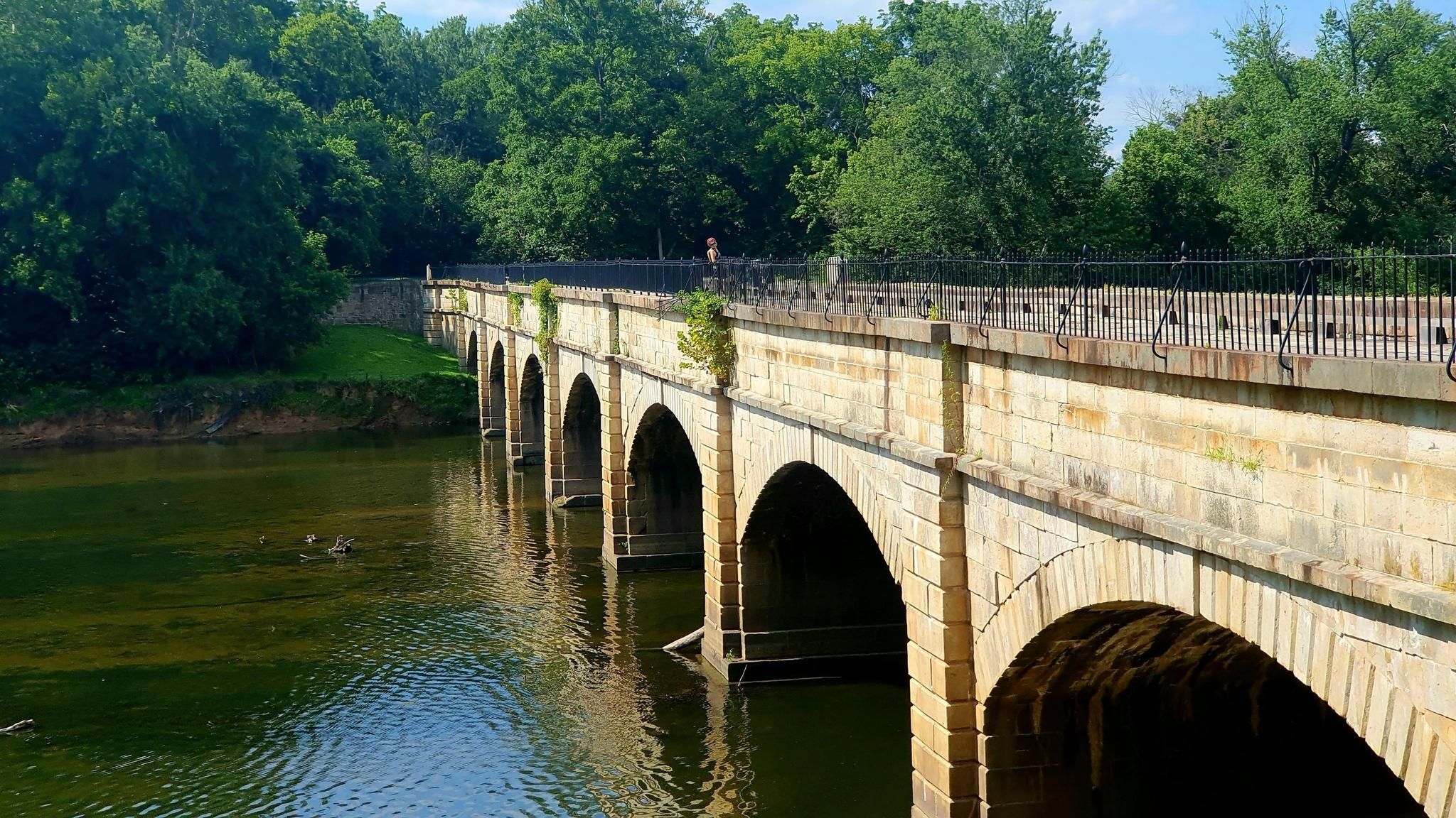
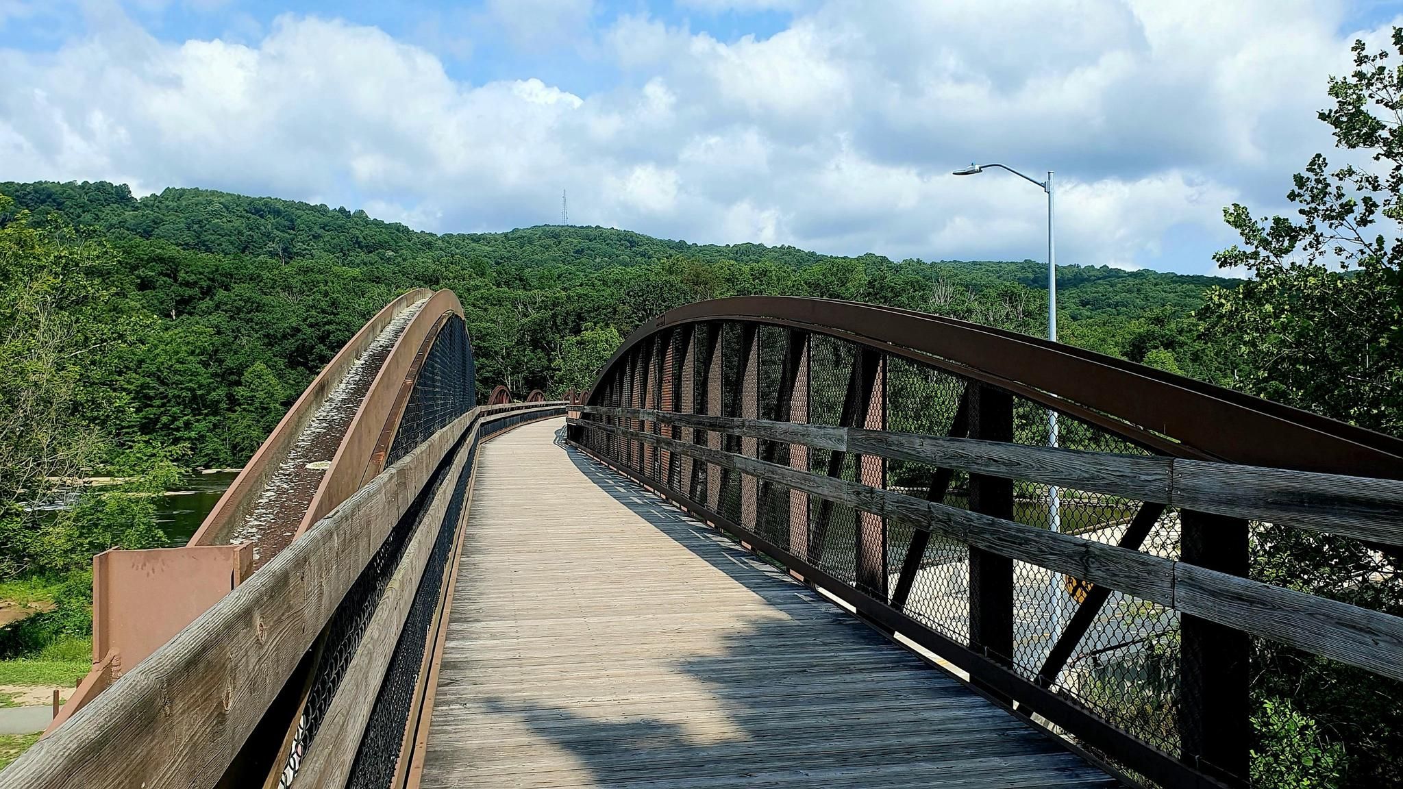
Great view of the Youghiogheny River from the GAP. On this section of the trail, you are treated to several great views, so make sure to slow down and enjoy the incredible setting!
0
0
Frequently Asked Questions
How many family-friendly hiking trails are available in Ohiopyle?
There are 19 family-friendly hiking trails around Ohiopyle, offering a variety of experiences for different skill levels. You'll find 6 easy routes, 10 moderate routes, and 3 more challenging options.
What kind of natural attractions can we expect to see on family hikes in Ohiopyle?
Ohiopyle State Park is rich with natural beauty. Many trails lead to stunning waterfalls like Cucumber Falls, known for its picturesque bridal veil cascade, and the dramatic Ohiopyle Falls. You might also encounter unique geological formations, such as the natural waterslides along Meadow Run, which are a popular spot in warmer months.
Are there any easy, shorter hikes suitable for families with young children?
Yes, for an easy and relatively short adventure, consider the Youghiogheny River to Jonathan Run Falls route. It's just under 7 km long and features gentle terrain, leading to beautiful waterfalls along Jonathan Run.
What do other hikers enjoy most about the family-friendly trails in Ohiopyle?
The komoot community highly rates the family-friendly trails in Ohiopyle, with an average score of 4.48 out of 5 stars. Hikers often praise the diverse landscapes, the abundance of waterfalls, and the well-maintained paths that make exploring with family enjoyable.
Are there any trails that offer panoramic views of the Ohiopyle area?
Yes, for breathtaking views, Baughman Rock Overlook provides some of the finest panoramic vistas in Pennsylvania, showcasing the vast Youghiogheny River Gorge. While not a specific trail in this guide, many routes offer glimpses of the park's expansive beauty.
Which trails are good for experiencing the Youghiogheny River?
The Great Allegheny Passage: Ohiopyle to Confluence offers a fantastic experience alongside the Youghiogheny River. This section of the renowned multi-use trail provides scenic views of the river and surrounding woodlands, with relatively flat terrain suitable for families.
What is the best time of year to visit Ohiopyle for family hiking?
Ohiopyle is beautiful year-round, but late spring through early fall offers the most pleasant hiking conditions. Summer is particularly popular for enjoying the natural waterslides at Meadow Run, while autumn provides spectacular fall foliage. Always check local weather conditions before heading out.
Are there any longer, moderate trails for families looking for more of a challenge?
For families seeking a moderate challenge, the Ohiopyle to Bidwell via Laurel Highlands Hiking Trail is a great option. This route covers approximately 10 km with some elevation gain, offering a rewarding experience through varied terrain.
Where can we see the main Ohiopyle Falls?
The main Ohiopyle Falls, a dramatic 20-foot waterfall on the Youghiogheny River, is easily viewed from observation decks within the park. The Ferncliff Peninsula also offers excellent views of the falls and the river's whitewater rapids.
Are there any trails that are part of a larger, well-known path?
Yes, the Great Allegheny Passage: Ohiopyle to Connellsville is a segment of the much larger Great Allegheny Passage (GAP Trail). This renowned multi-use trail stretches for 150 miles through Ohiopyle, connecting to Pittsburgh and Cumberland, and offers a relatively flat, scenic path ideal for families.
Most popular attractions around Ohiopyle

Get inspired with the komoot mobile app


Explore more
Browse the best Hikes in other regions.
