The best traffic-free bike rides in Mt. Hood National Forest
4.2
(92)
668
riders
32
rides
Touring cycling in Mt. Hood National Forest offers a diverse landscape spanning 1.1 million acres in Oregon's northern Cascade Range. The region is centered around Mount Hood, a prominent peak at 11,245 feet, and features a variety of ecosystems including rainforests, alpine lakes, and ancient forests. Numerous rivers, such as the Sandy and Hood rivers, and lakes like Timothy Lake and Lost Lake, are present throughout the forest. The terrain includes significant elevation changes, with routes traversing valleys, dense woodlands,…
Last updated: July 8, 2026
4.0
(1)
7
riders
57.1km
04:47
710m
710m
Hard bike ride. Very good fitness required. Mostly paved surfaces. Suitable for all skill levels.
1
riders
20.1km
01:47
450m
440m
Moderate bike ride. Good fitness required. Mostly paved surfaces. Suitable for all skill levels.

Sign up for free
4
riders
30.4km
03:16
780m
780m
Hard bike ride. Very good fitness required. Mostly paved surfaces. Suitable for all skill levels.
1
riders
11.7km
00:53
280m
280m
Moderate bike ride. Good fitness required. Mostly paved surfaces. Suitable for all skill levels.
12
riders
20.6km
01:56
220m
230m
Moderate bike ride. Good fitness required. Mostly paved surfaces. Suitable for all skill levels.
Get access to more routes and recommendations from other explorers.
Sign up for free
Already have an account?
Our route recommendations are based on thousands of hikes, rides, and runs completed by other people on komoot.
Start today with a free account
Your next adventure awaits.
Login or Signup
Popular around Mt. Hood National Forest

Pacific Crest Trail from Mexico to Canada – 4,200 kilometres of wilderness
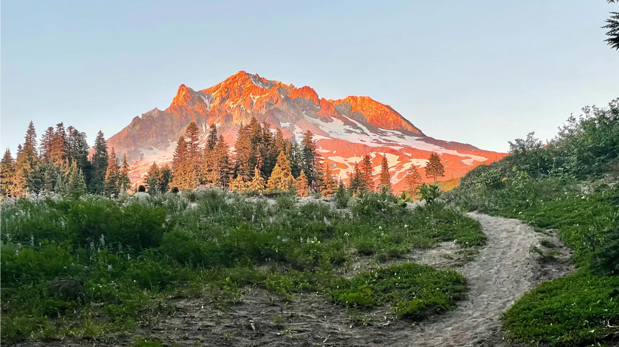
Timberline Trail — A Scenic Mount Hood Adventure
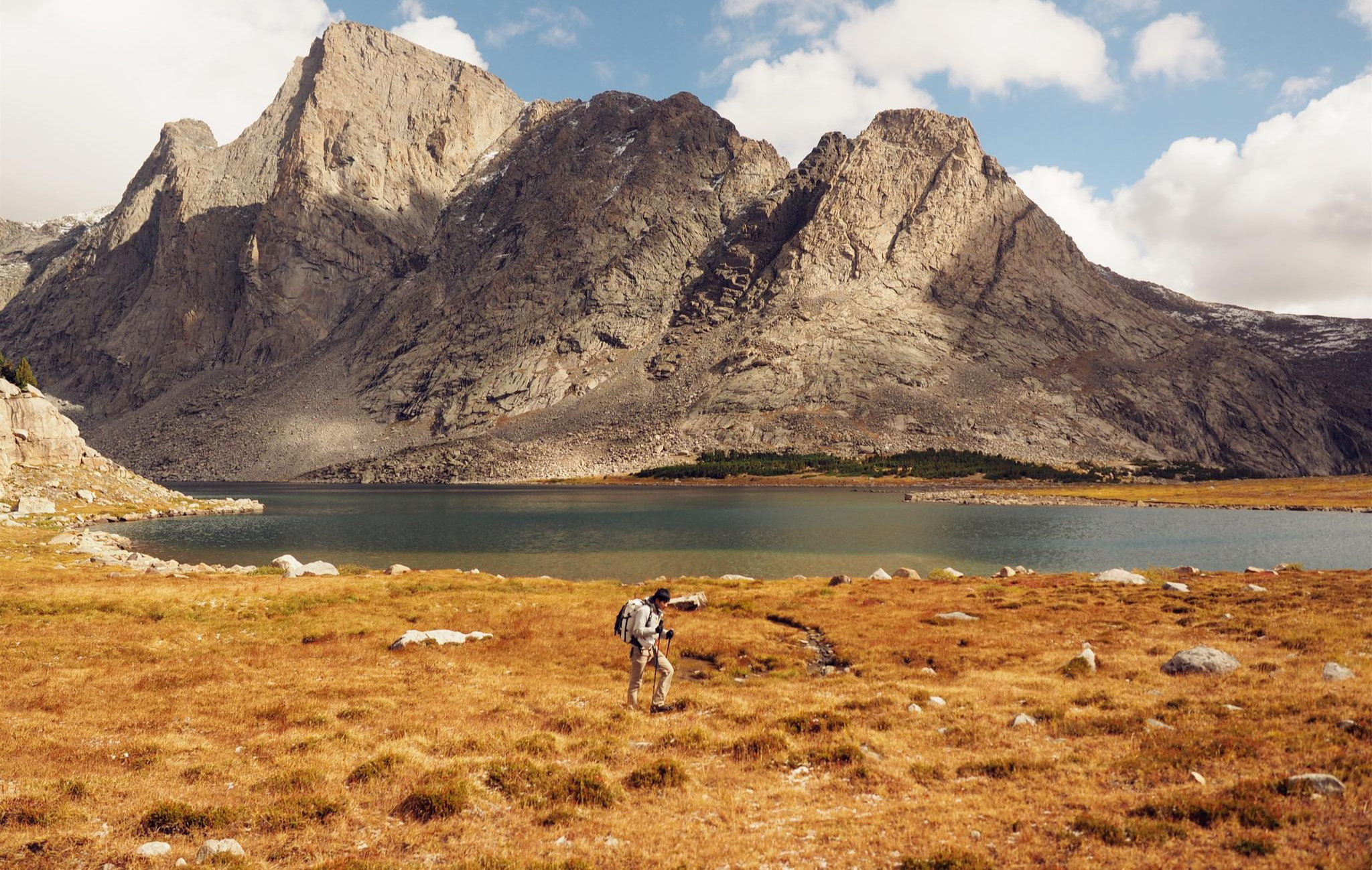
Like in the Wild West – hiking on the Oregon Trail
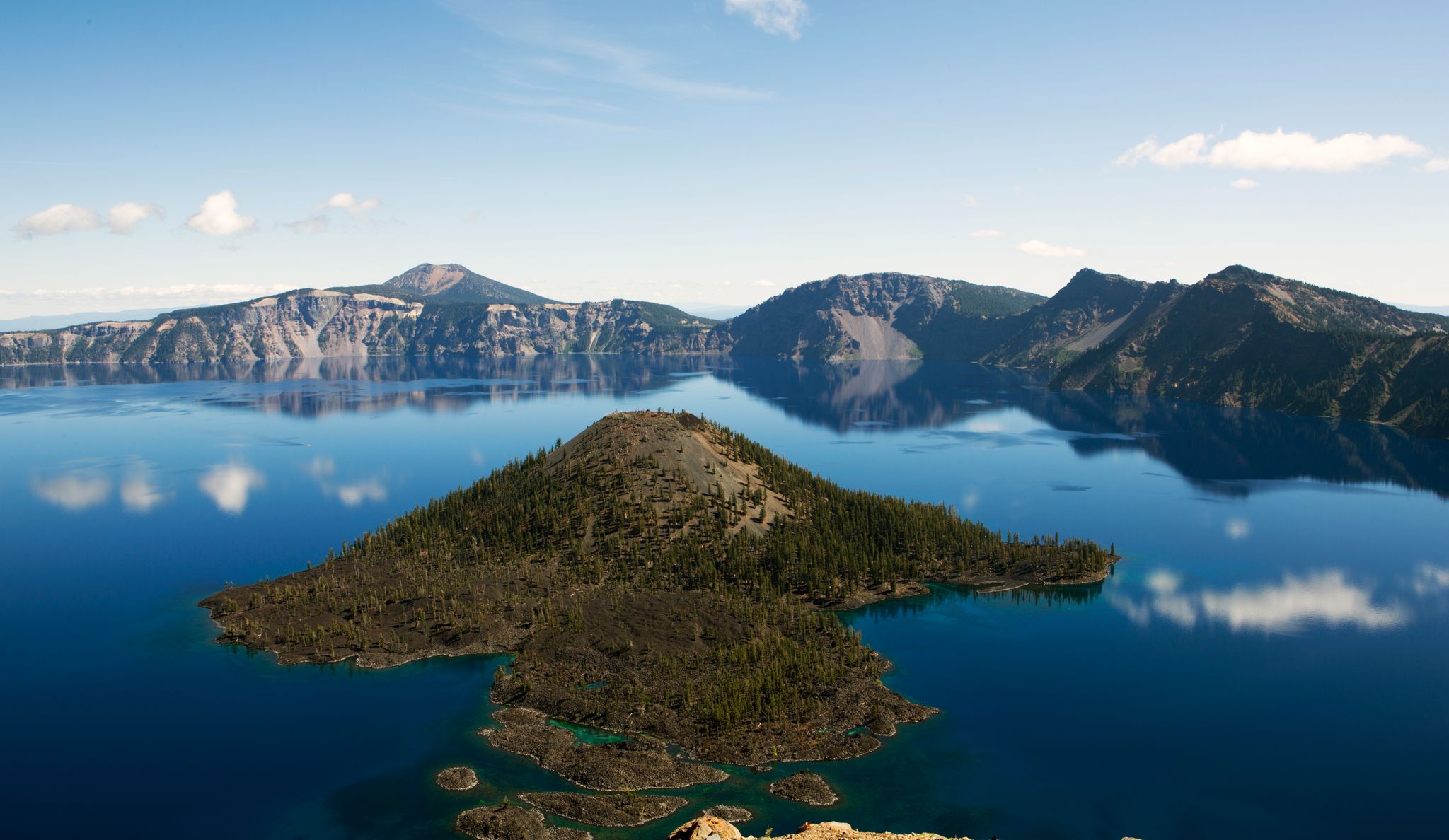
Volcanic peaks and glistening shores – discover Oregon and Washington
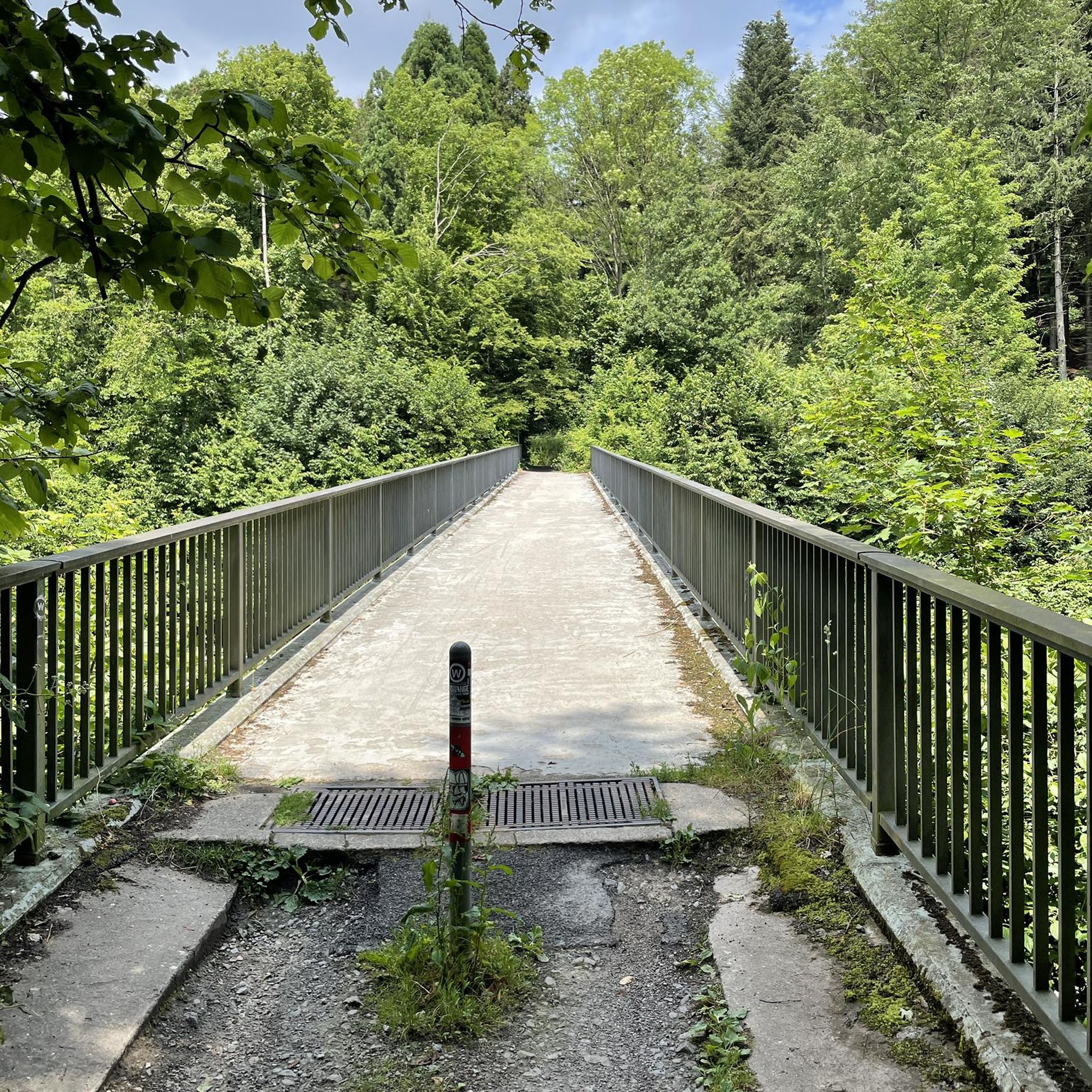
Traffic-free bike rides in Mt. Hood National Forest

Traffic-free bike rides in Mt. Hood National Forest
Other adventures in Mt. Hood National Forest


Tips from the Community

Timothy Lake is in the shadow of Mt. Hood at an elevation of 3,200 feet. It was created in 1956 when a dam was created on the Clackamas River. Today it's better known for its recreational opportunities like mountain biking, hiking, fishing, camping, and boating.
0
0


Cloud Gap Road is a gradually graded road with switchbacks all the way up to Cloud Gap Inn. The road is unpaved but smooth packed gravel, so a tour bike with some decent tires is recommended. Its a climb all the way up with with a very rewarding summit!
0
0
Cloud Cap Inn is at an elevation of almost 6,000 feet on Mount Hood's northeastern side. It was constructed well over 100 years ago, in 1889, and was Mt. Hood's first permanent resort. Here there is no potable water available, so bring plenty of extra and be alert for signs of altitude sickness. If altitude sickness should occur on your ride, just turn around and go back to the base. The building has been closed to the public since the 1950s, but visitors come to camp for under $20 a night, and it's paid in cash or check via fee tubes.
0
0
Salmon-Huckleberry Wilderness is 62,455 acres in size and has a few notable peaks. this area is mostly dense forest and old-growth forest remain. Explorers can find interesting rock formations, such as cliffs, volcanic dikes, and pinnacles.
0
0
Sahale Falls cascade down the slopes of Mt. Hood and can be seen via a hike or from right here on the highway! The water comes from the East Fork of the Hood River. The falls drop 64 feet down the back of a verdant grotto, with 4 more feet and 10 feet immediately downstream. The waterfalls are a great photo opportunity that should not be missed!
0
0
Mt. Hood Meadows is a ski resort with Sahale Lodge right by the parking area that has some great places to grab a bite in the winter, but in the summer options are more limited. Sahale Grill stays open after the ski season is over, but be sure to check the updated hours online before heading up there for a bite. The parking lot also has the Umbrella Falls Trail #667 Trailhead for summertime hiking.
0
0
Lost Lake is great for cyclists because they can ride right up to the edge of the lake. Lost Lake has a campground and lots of activities. There is a resort store that offers canoes, kayaks, wooden boats, metal fishing boats, and stand-up paddle board rentals. Visitors can find a number of hiking and biking trails and can spend the day bird-watching, berry-picking, swimming, waterfall-finding, or participating in some of the scheduled activities like telescoped stargazing, special Forest Service events, or live music.
0
1
Frequently Asked Questions
What kind of terrain can I expect on no-traffic touring cycling routes in Mt. Hood National Forest?
The routes in Mt. Hood National Forest offer a diverse range of terrain, from paved surfaces through orchards and valleys to winding Forest Service roads and gravel paths. You can expect everything from gentle climbs to challenging ascents, with some routes featuring significant elevation gains through ancient forests and along wild rivers. For example, the Frog Lake & Timothy Lake gravel loop is a challenging route with over 700 meters of elevation gain.
Are there any easy no-traffic touring cycling routes suitable for beginners or families?
Yes, Mt. Hood National Forest offers several easy no-traffic touring cycling routes. These are great for beginners or families looking for a more relaxed ride. One example is the Government Camp – Government Camp loop, which is an easy 5.3 km route with minimal elevation gain, perfect for a leisurely outing.
What are some notable natural features or landmarks I can see along these routes?
Many no-traffic touring cycling routes in Mt. Hood National Forest pass by stunning natural features. You can encounter majestic waterfalls like Ramona Falls, Tunnel Falls, and Tamanawas Falls. Serene alpine lakes such as Trillium Lake, Little Crater Lake, and Timothy Lake also offer picturesque views and rest stops. The Zigzag Canyon Overlook provides spectacular vistas.
Are there any loop routes for touring cyclists in the Mt. Hood area?
Yes, there are several excellent loop routes designed for touring cyclists. These allow you to start and end at the same point without retracing your path. Examples include the Frog Lake & Timothy Lake gravel loop, the Wagon Road and Tilly Jane Trail Loop, and the Lost Lake Butte loop, which offers stunning views of Mount Hood.
What is the best time of year to go touring cycling in Mt. Hood National Forest?
The best time for touring cycling in Mt. Hood National Forest is typically from late spring through early fall (May to October). During these months, the weather is generally milder, and most roads and trails are free of snow. Summer offers the warmest temperatures and longest daylight hours, while early fall provides beautiful foliage. Always check local weather and road conditions before heading out, especially at higher elevations.
How long do the no-traffic touring cycling routes typically take to complete?
The duration of no-traffic touring cycling routes varies significantly based on distance, elevation, and your cycling pace. For instance, an easy route like the Government Camp – Government Camp loop can be completed in under 30 minutes. Moderate routes such as the Lost Lake Butte loop might take around 1 hour and 45 minutes, while more challenging routes like the Frog Lake & Timothy Lake gravel loop can take over 4 hours and 45 minutes.
Are there any advanced or difficult no-traffic touring cycling routes for experienced riders?
Yes, Mt. Hood National Forest offers numerous challenging no-traffic touring cycling routes for experienced riders. These routes often feature significant elevation gains, longer distances, and sometimes unpaved segments. Nearly two-thirds of the touring cycling routes in the area are rated as difficult, providing a substantial challenge for those seeking it. The Wagon Road and Tilly Jane Trail Loop is a difficult 30 km route with over 780 meters of climbing.
What do other touring cyclists enjoy most about cycling in Mt. Hood National Forest?
The area is highly rated by the komoot community, with an average score of 4.08 stars. Reviewers often praise the stunning natural beauty, the variety of landscapes from ancient forests to alpine lakes, and the opportunity to experience challenging climbs with rewarding views of Mount Hood. The peacefulness of the no-traffic routes is also frequently highlighted.
Is public transportation available to access touring cycling routes in Mt. Hood National Forest?
While public transportation options directly into the heart of all touring cycling routes can be limited, some services might connect to gateway communities around Mt. Hood. It's generally recommended to plan for personal vehicle transport to reach specific trailheads or starting points for the most flexibility. Always check local transit authority websites for the most current information on routes and schedules.
Are there any specific permits or fees required for bike touring in Mt. Hood National Forest?
For general day-use touring cycling on established roads and trails within Mt. Hood National Forest, specific permits are typically not required. However, some areas, particularly those with high recreational use or within wilderness designations, may require a Northwest Forest Pass or a day-use fee for parking at certain trailheads. Always check the specific regulations for the area you plan to visit before your trip. For information on the Mt. Hood Scenic Byway, you can visit fhwaapps.fhwa.dot.gov.
Can I bring my dog on no-traffic touring cycling routes in Mt. Hood National Forest?
Many areas within Mt. Hood National Forest are dog-friendly, but regulations vary depending on the specific trail or area. Dogs are generally permitted on leash on most Forest Service roads and trails unless otherwise posted. However, some wilderness areas or designated natural sites may have restrictions. Always check the specific rules for your chosen route to ensure it's dog-friendly and remember to practice Leave No Trace principles by cleaning up after your pet.
Most popular routes in Mt. Hood National Forest
Most popular attractions in Mt. Hood National Forest

Get inspired with the komoot mobile app


Explore more
Browse the best Cycling routes in other regions.
