The best traffic-free bike rides in Summit County
4.8
(6)
777
riders
43
rides
No traffic road cycling routes in Summit County are characterized by a diverse landscape, featuring high-alpine terrain, extensive paved recreational pathways, and significant elevation changes. The region is situated among the Rocky Mountains, with prominent ranges such as the Gore and Tenmile, and includes the expansive Dillon Reservoir. Federal public lands, including portions of the White River National Forest, contribute to the varied natural environment. This combination provides a range of road cycling experiences across different gradients and scenic backdrops.
…Last updated: July 7, 2026
9
riders
40.6km
02:33
250m
250m
Moderate road ride. Good fitness required. Mostly well-paved surfaces and easy to ride.
48.2km
02:04
370m
370m
Moderate road ride. Good fitness required. Mostly well-paved surfaces and easy to ride.

Sign up for free
26
riders
32.0km
01:21
170m
170m
Moderate road ride. Great for any fitness level. Some segments of this route may be unpaved and difficult to ride.
44
riders
Moderate road ride. Good fitness required. Some segments of this route may be unpaved and difficult to ride.
5.0
(1)
23
riders
Moderate road ride. Good fitness required. Some segments of this route may be unpaved and difficult to ride.
Get access to more routes and recommendations from other explorers.
Sign up for free
Already have an account?
Our route recommendations are based on thousands of hikes, rides, and runs completed by other people on komoot.
Start today with a free account
Your next adventure awaits.
Login or Signup
Popular around Summit County

Traffic-free bike rides in Cuyahoga Valley National Park

Traffic-free bike rides around Akron
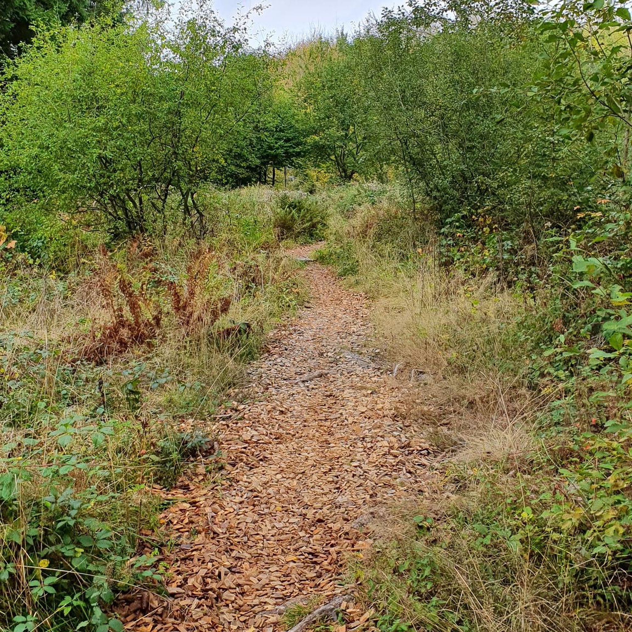
Traffic-free bike rides around Hudson

Traffic-free bike rides around Cuyahoga Falls

Traffic-free bike rides around Stow

Traffic-free bike rides around Boston Heights

Traffic-free bike rides around Peninsula
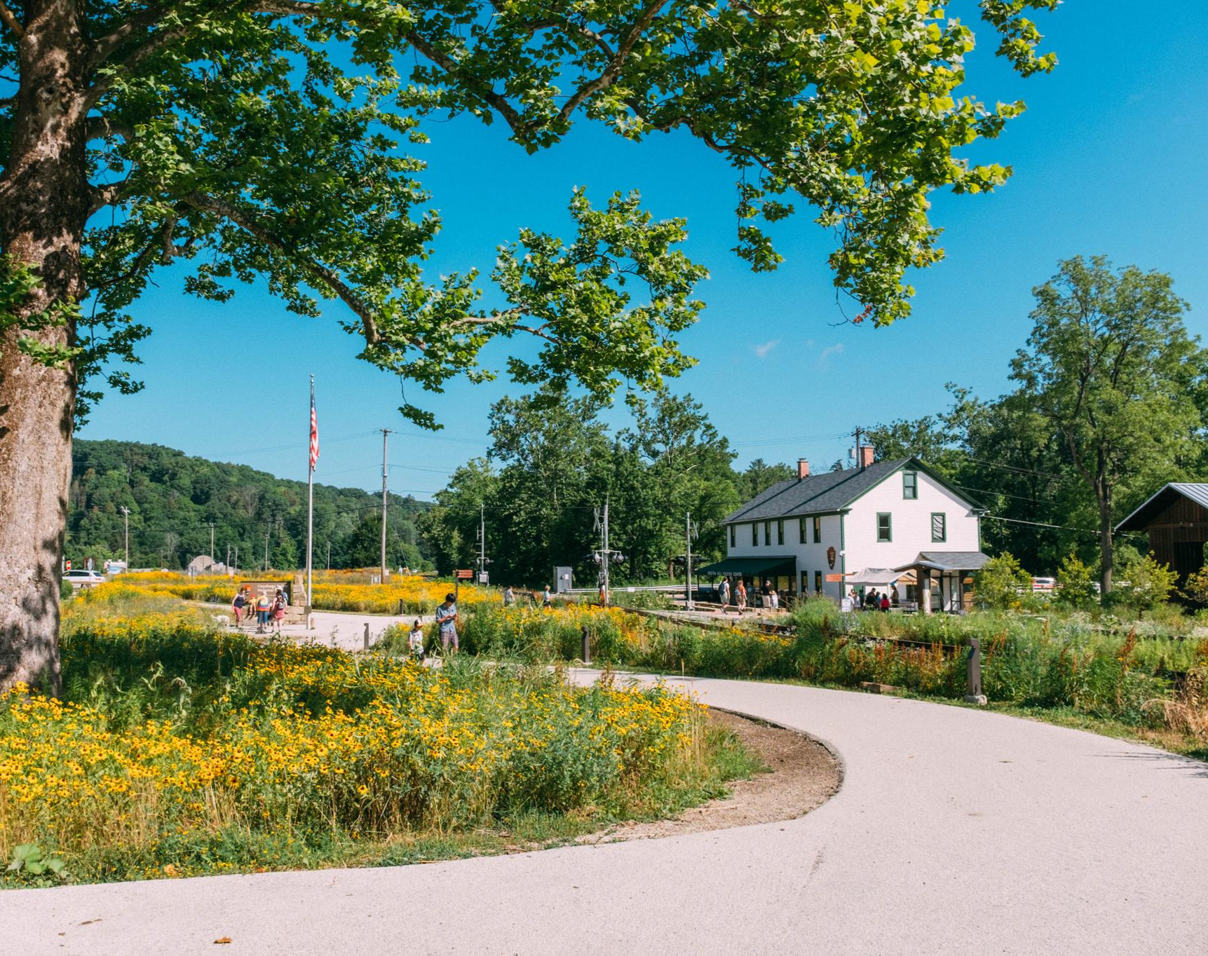
Buckeye Trail's northeast corner — Little Loop
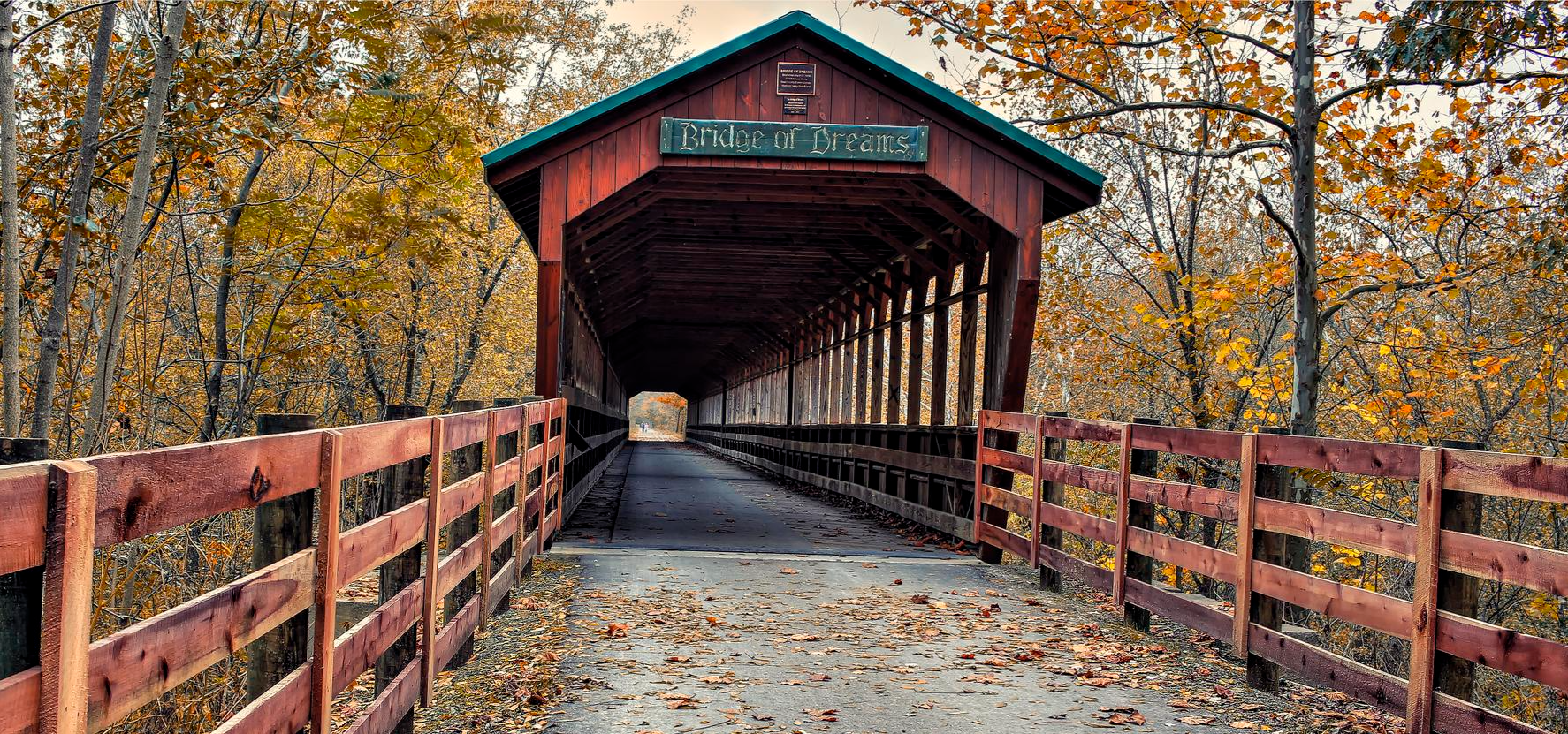
Ohio to Erie Trail — An Unforgettable Ride Across The Buckeye State
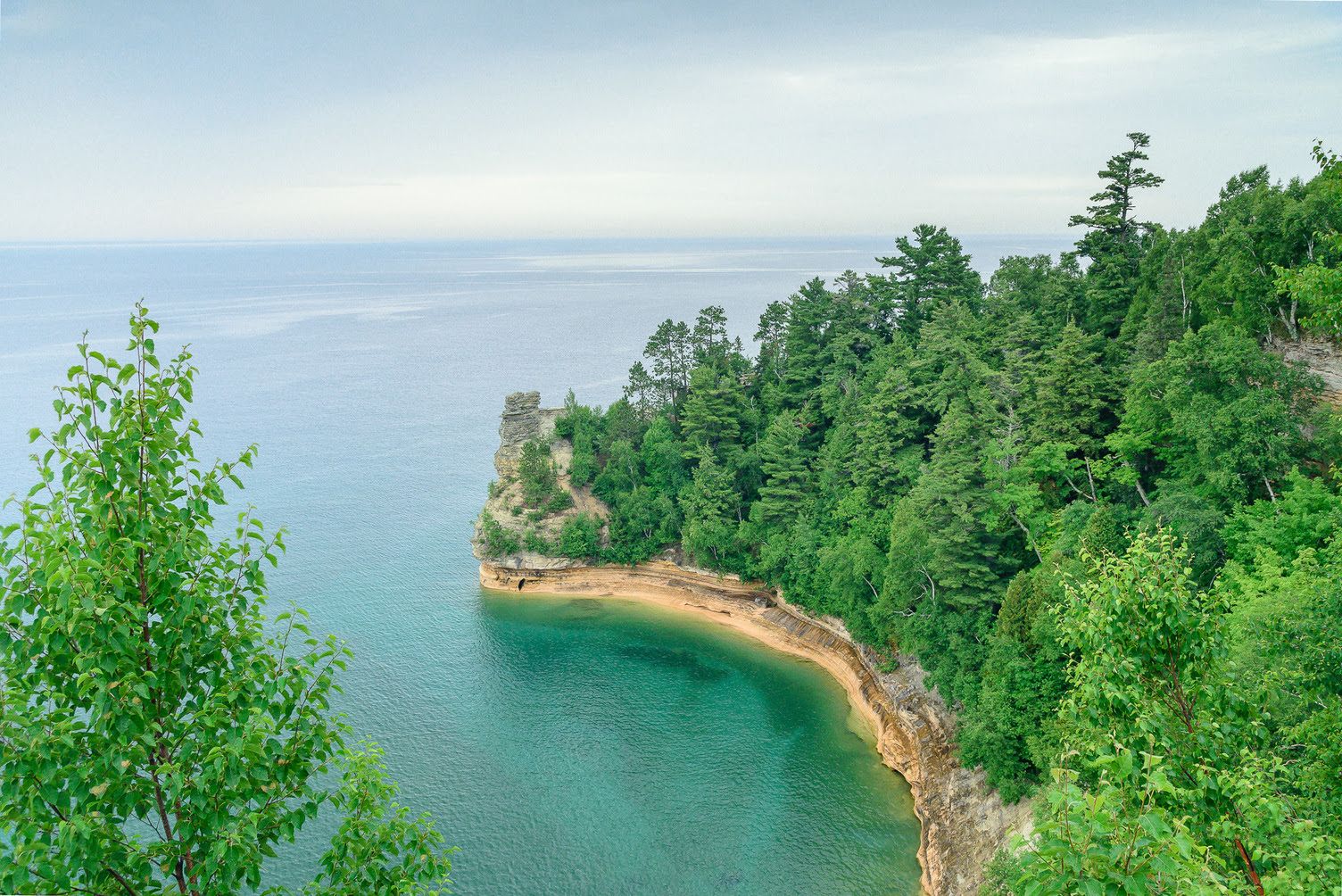
Great North Music Tour – hiking in the footsteps of music legends


Tips from the Community

Good alternative parking spot for the towpath if Peninsula lots are full
0
0
nice little farmers market. They do not accept cash, but there is an ATM on sight. Store sits right next to towpath trail
0
0

Some people like a pre-ride coffee, while others can't wait for their post-ride beer. As for me, nothing beats a mid-ride ice cream to cool down and rest for a while. If ice cream isn't your thing you they have a good selection of classic staples like burgers, hot dogs, nachos and more.
1
0

Once upon a time (but really not that long ago), mules walked this towpath as they hauled boats up and down the Ohio & Erie Canal. Nowadays, the towpath is a wonderful multi-use trail that threads alongside the canal and through the occasional bridge, like this one.
0
0

At this spot on the Ohio & Erie Canal Townpath Trail, you pass under I-80. You get a truly unique view of the underside of the highway and of the Cuyahoga River.
0
0
Lock 4 Park, located about 20 miles south of Akron, features the historic "Fulton Lock," the fourth lock south of the Akron summit on the Ohio & Erie Canal. Built in 1827, this sandstone structure is one of 146 lift locks —mechanisms that raised or lowered boats between stretches of water at different elevations — enabling navigation along the canal's 1,000 feet of vertical relief from Lake Erie to the Ohio River. Though no longer operational, the lock and surrounding park has long been a favored local picnic and fishing spot. The park also provides access to the Ohio & Erie Towpath Trail and includes amenities like a historic mill, picnic areas, a handicap-accessible fishing dock, and parking.
0
0

The St Helena Heritage Park is a beautiful park on the Ohio and Erie Canal Towpath Trail. The park has a picnic area, playground and ball fields. The park is on the outskirts of Canal Fulton, so if you need a place for a lunch break, you have the option to leave the trail and head into town.
1
0

This park gets its name from the historic canal lock located here, the fourth lock south of Summit County. It features picnic tables, grills, a fishing dock, and restrooms, making it a great spot for a break.
0
0
Frequently Asked Questions
How many no-traffic road cycling routes are available in Summit County?
Summit County offers a wide selection of car-free road cycling routes. Our guide features over 35 routes, with options ranging from easy to moderate difficulty, ensuring there's a suitable ride for every skill level.
What makes Summit County ideal for no-traffic road cycling?
Summit County is renowned for its extensive paved Recreational Pathway System, often called the 'Recpath.' This network provides over 50 miles of dedicated, non-motorized pathways connecting towns and resorts, offering stunning Rocky Mountain scenery without vehicle traffic.
Are there easy, beginner-friendly no-traffic road cycling routes in Summit County?
Yes, there are several easy and beginner-friendly options. The Recpath system includes many sections perfect for a relaxed ride. For example, parts of the Dillon Reservoir Recpath Loop offer scenic views with moderate elevation, ideal for those new to road cycling. You can also explore routes like the Freedom Trail and Bike & Hike Trail Loop, which is a moderate ride but generally accessible.
What are some popular scenic no-traffic road cycling routes with great views?
Many routes in Summit County offer breathtaking views. The Dillon Reservoir Recpath Loop provides continuous scenic vistas of Lake Dillon. The Tenmile Recpath, connecting Frisco and Copper Mountain, also features stunning mountain scenery. For a truly memorable experience, consider the Vail Pass path, known for its accessible and scenic beauty.
Can I find challenging car-free climbs for road cycling in Summit County?
While many Recpath sections are moderate, some routes offer significant elevation changes for a challenge. The Tenmile Recpath, for instance, features notable climbs between Frisco and Copper Mountain. For a truly demanding experience, cyclists often tackle sections of the Loveland Pass route, which reaches nearly 12,000 feet, though parts of this may involve shared roads.
Are there any loop routes for no-traffic road cycling?
Yes, many of the Recpath sections are designed as loops or can be combined to form loops. The Dillon Reservoir Recpath Loop is a prime example, offering a circular route around the lake. You can also find routes like the Cuyahoga Valley loop, which provides a substantial distance for a car-free circular ride.
What is the best season for no-traffic road biking in Summit County?
The best season for road biking in Summit County is typically from late spring through early fall (roughly May to October). During these months, the high-alpine climate provides pleasant conditions, and the Recpath system is generally clear of snow. Always check local trail conditions before heading out, especially in shoulder seasons.
What attractions can I see along the no-traffic road cycling routes?
Summit County's routes often pass by or near significant natural features and charming towns. You can enjoy views of the Dillon Reservoir, ride through picturesque towns like Frisco and Dillon, and experience the beauty of the surrounding Rocky Mountains. Highlights like Brandywine Falls and Ledges Overlook are also accessible in the wider region, offering stunning natural beauty.
Where can I find parking for no-traffic road bike trails in Summit County?
Parking is generally available at various trailheads and in the towns connected by the Recpath system. Towns like Breckenridge, Frisco, Dillon, and Silverthorne offer public parking options, often near access points to the paved pathways. It's advisable to check specific town websites or trail maps for designated parking areas closest to your chosen starting point.
What do other road cyclists enjoy most about no-traffic road cycling in Summit County?
The komoot community highly rates road cycling in Summit County, with an average score of 5.0 stars. Reviewers consistently praise the extensive network of paved, car-free paths, the stunning mountain and lake views, and the variety of routes suitable for all fitness levels. The ability to connect different towns and attractions via safe, dedicated pathways is a frequently highlighted benefit.
Are there any routes that pass by lakes or water features?
Absolutely! The Dillon Reservoir is a central feature for many routes. The Dillon Reservoir Recpath Loop offers continuous views of the expansive lake. Other routes might pass by smaller water bodies or follow the Blue River, providing serene waterside cycling experiences. For example, the Summit Lake area also offers beautiful natural scenery.
Most popular routes in Summit County
Most popular attractions in Summit County

Get inspired with the komoot mobile app


Didn’t find what you were looking for?
Check out more Road cycling routes throughout Summit County below and find the perfect route in your destination.
Explore more
Browse the best Road cycling routes in other regions.
