The best traffic-free bike rides in Page County
4.9
(12)
705
riders
7
rides
If you've ever tried to plan road cycling in Page County, you know how quickly the options can become overwhelming. With so many roads winding through the valley and mountains, it's tough to tell which routes are genuinely worth your time and effort, and which are just filler. That's where we come in. Our komoot community has mapped, ridden, and reviewed countless routes here, and we've distilled that collective wisdom into a curated shortlist of the best no-traffic road cycling routes, saving you the guesswork.
Road cycling in Page County truly offers something for every rider. Nestled between the Blue Ridge Mountains and the George Washington National Forest, with the Shenandoah Valley at its heart, you'll find a diverse landscape. Expect everything from significant elevation changes on mountain roads to gentler, rolling country roads on the valley floor. It’s a region that rewards exploration, whether you're looking for a challenging climb or a more relaxed spin through rural scenery.
If you only do one ride, we'd start with the Luray Reservoir – Woodland loop from Kimball. At 22.7 miles (36.5 km) with moderate climbs, it’s a fantastic introduction to the area's varied landscapes. For those ready for a bit more, the Passage Creek loop from Edinburg Gap Spring offers a scenic 35.7 miles (57.4 km) through the valley, winding past forests and hills. Over 500 road cyclists have already discovered the magic of Page County with komoot, and we're confident you'll find your next favorite ride here too.
Last updated: May 27, 2026
5.0
(1)
69
riders
64.9km
03:31
1,230m
1,230m
Hard road ride. Very good fitness required. Some segments of this route may be unpaved and difficult to ride.
8
riders
36.5km
01:46
360m
360m
The Luray Reservoir – Woodland loop from Kimball offers a scenic road cycling experience through the heart of the Shenandoah Valley. This moderate route covers 22.7 miles (36.5 km) and includes 1181 feet (360 metres) of elevation gain, providing a good challenge without being overly strenuous. You'll pedal through dense woodlands and past charming small farms, with the possibility of sweeping views of the Blue Ridge Mountains, making it a rewarding ride that typically takes around 1 hour and 46 minutes.
When planning your ride, remember that the Luray area is characterized by rolling hills and varied terrain, so be ready for some sustained climbs. While specific parking for the Luray Reservoir Woodland loop Kimball road cycling route isn't detailed, you'll find general access points throughout the region. It's always wise to carry plenty of water, especially on warmer days, and consider visiting in the spring or fall for ideal weather and stunning foliage.
This route is a fantastic way to explore Page County's diverse landscape, often called a "valley within a valley." Beyond the main loop, the area offers a wide range of cycling experiences, from the accessible Hawksbill Greenway along Hawksbill Creek to more challenging mountain passes. The region's natural beauty, including the Shenandoah River and the distant Blue Ridge Mountains, provides a picturesque backdrop for any cycling adventure.

Sign up for free
11
riders
57.4km
03:27
520m
520m
The Passage Creek loop from Edinburg Gap Spring is a moderate 35.7-mile (57.4 km) road cycling route that offers a diverse and engaging experience through the scenic Shenandoah Valley. You'll pedal through charming rural settings and along river valleys, with the terrain shifting from smooth pavement to more rugged, unpaved sections, particularly around the Edinburg Gap. This route, with its 1693 feet (516 metres) of elevation gain, provides a good workout and typically takes around 3 hours and 26 minutes to complete, making it one of the best road cycling trails in the area for those seeking a challenge beyond flat roads.
To plan your ride, head to the Edinburg Gap Spring, which serves as the starting point and offers convenient parking for cyclists. Be aware that the Edinburg Gap itself is a minimally maintained Forest Service Road, about one vehicle wide, with some rockier terrain and a shallow stream crossing; this section might be challenging for pure road bikes. There are no specific permits mentioned, but checking local conditions, especially after rain, is always a good idea to ensure the best experience on this popular bike route.
This loop is nestled within the George Washington National Forest, adding to its natural appeal and providing a sense of immersion in the Virginia wilderness. The route is well-regarded by the Komoot community, boasting an average rating of 4.0 stars, highlighting its quality and appeal among local cyclists. The presence of the publicly accessible Edinburg Gap Spring also adds a unique natural feature to your journey, offering a refreshing stop along the way.
3
riders
50.8km
02:36
610m
610m
The Woodland – Abbott loop from Stanley is a fantastic road cycling option that combines a solid workout with incredible views. You'll pedal through extensive pine forests and along river valleys, with the stunning Sawtooth, Whitecloud, and Salmon River mountain ranges providing a dramatic backdrop. This moderate 31.6-mile (50.8 km) route features 1998 feet (609 metres) of elevation gain, typically taking about 2 hours and 35 minutes to complete, making it ideal for cyclists seeking a scenic challenge.
When planning your ride, remember that this loop is known for its varied terrain, including climbs with grades up to 6%. While mostly well-paved, the significant elevation gain means you'll need good fitness to enjoy it fully. As a popular local route, it's generally accessible from Stanley, but always check the weather forecast before heading out, especially for conditions on the higher passes.
This loop stands out as the most popular road cycling route in the Stanley area, a testament to its appealing blend of moderate difficulty and diverse landscapes. It offers a great way to experience the region's natural beauty, from its dense forests to its expansive mountain vistas, all from the saddle of your bike. It's a rewarding choice for anyone looking for a substantial and picturesque ride.
3
riders
50.5km
02:36
520m
520m
The Roadbike loop from Kimball offers a classic road cycling experience, traversing paved surfaces through what is likely pleasant local countryside. You'll find a good mix of terrain, from sections like the 'Lowell Road Sprint' where you can push your pace, to descents and climbs that keep the ride engaging. It's a route designed for those who appreciate a consistent, moderate challenge on two wheels.
Planning your ride on this 31.4-mile (50.5 km) loop is straightforward, as it's a recognized route suitable for road bikes. With 1719 feet (524 metres) of elevation gain, you can expect a solid workout that takes around 2 hours and 35 minutes to complete. It's best enjoyed during the warmer months, and while specific parking details aren't provided, local community areas often offer suitable starting points.
This route is known within the cycling community, particularly as the 'Kimball 25' in Carlisle, MA, suggesting it's a well-established option for road cyclists. Its moderate difficulty makes it accessible to a range of riders, from those looking to build endurance to others seeking a spirited ride with varied effort levels. It's a great way to explore the area on a road bike.
Get access to more routes and recommendations from other explorers.
Sign up for free
Already have an account?
Our route recommendations are based on thousands of hikes, rides, and runs completed by other people on komoot.
Start today with a free account
Your next adventure awaits.
Login or Signup



Tips from the Community

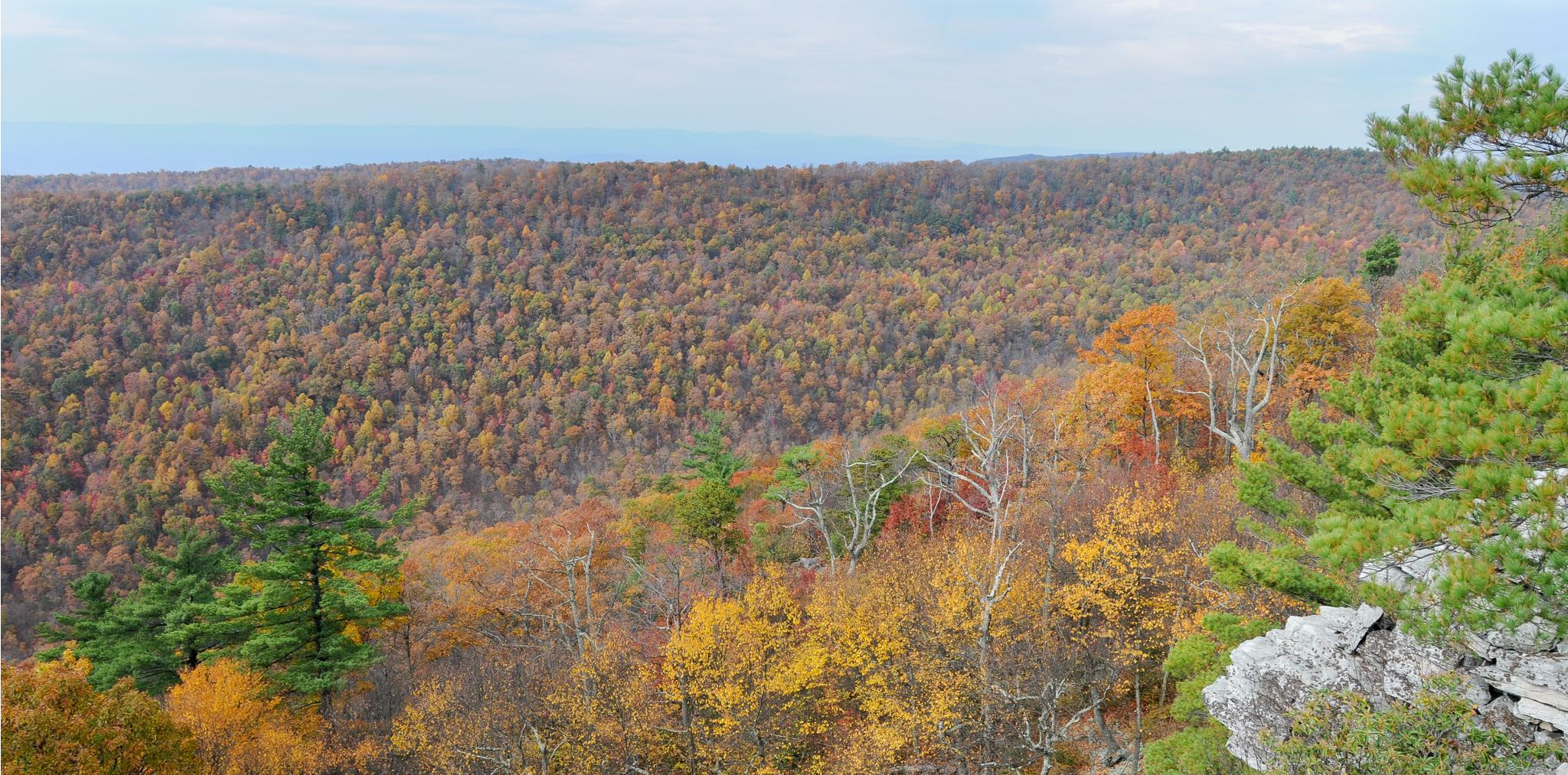
Elizabeth Furnace Recreation Area is beautiful, and a hub for hikers exploring the northern Massanutten and Tuscarora trails. There are developed campsites with a seasonal hand pump, and showers. While you're here, you can explore the area's iron-smelting history via short interpretive walks. It's a fantastic base, whether you're staging a section hike or just looking for a quiet overnight with amenities and easy access to nearby trails to explore this scenic area.
0
0

It is because of such views that the drive is popular.
0
1
The view is often very wide. This spot in particular is great
0
0
Great views and surprising encounters are sure to be found on the Skyline Drive
0
0

Fishers Gap is at an elevation of 3,070 feet and gives you a view of the Shenandoah Valley. There is a parking lot right near the viewpoint, so there is a good chance there will be other people enjoying the view with you.
0
0

If you'd like to park your bike for a while and take a walk on the Appalachian Trail, this is a great place to do it. You also get a really nice view of the Shenandoah Valley through a gap in the trees, with Massanutten Mountain and New Market Gap—the site of a famous Civil War battle—visible in the distance.
0
0
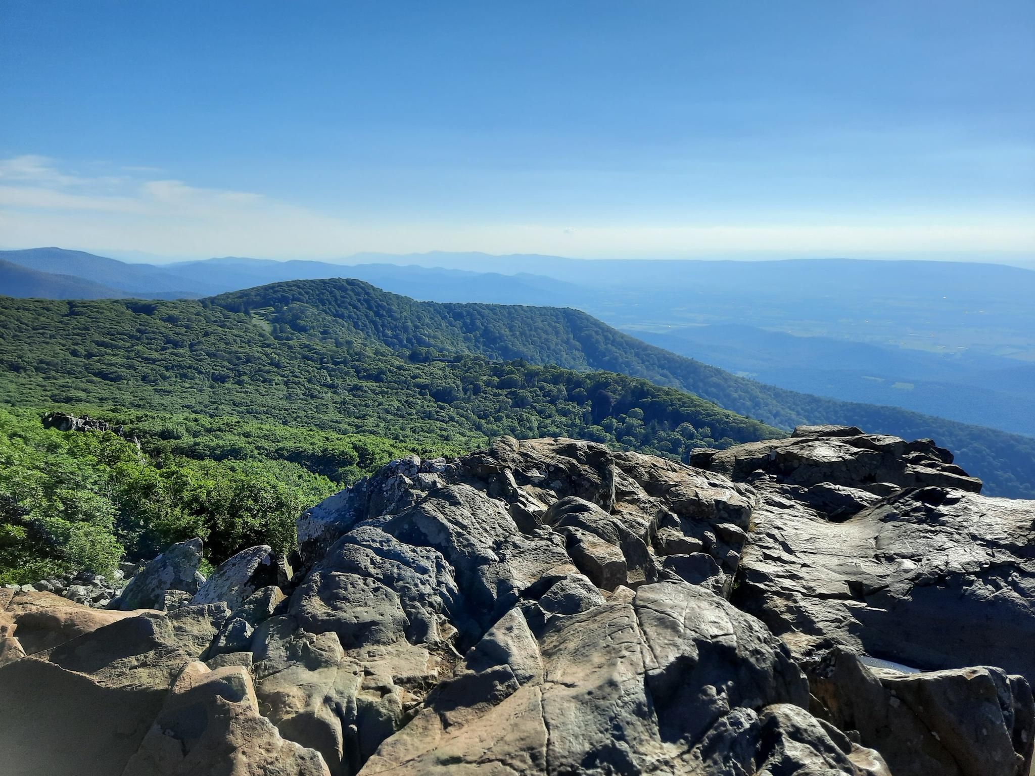
This viewpoint sits at 3,140 feet (957 m) elevation and looks right down a hollow toward the town of Stanley. Another community, Luray, is to the right of Stanley but mostly hidden by a ridge. You'll also see Blackrock Summit in the near distance to your left, and Roundhead Ridge a bit behind and to the right of it.
0
0
This viewpoint sits at 3,140 ft (957 m) elevation and looks right down a hollow toward the town of Stanley. Another community, Luray, is to the right of Stanley but mostly hidden by a ridge. You'll also see Blackrock Summit in the near distance to your left, and Roundhead Ridge a bit behind and to the right of it.
1
0
Frequently Asked Questions
How many no-traffic road cycling routes are available in Page County?
Komoot features several no-traffic road cycling routes in Page County, offering a peaceful experience away from vehicles. Currently, there are 6 moderate routes listed in this guide, perfect for exploring the scenic landscapes.
Are there any easy or beginner-friendly no-traffic road cycling routes in Page County?
While the routes in this guide are generally rated as moderate, the Luray-Hawksbill Greenway offers a very accessible and car-free option. This 2-mile paved trail along Hawksbill Creek is ideal for beginners and families, providing a relaxed ride through downtown Luray with amenities like parking and picnic tables.
What kind of terrain can I expect on no-traffic road cycling routes in Page County?
Page County's no-traffic routes primarily traverse the scenic Shenandoah Valley floor, offering a mix of gentle country roads and rolling hills. While you won't encounter the steep mountain ascents of Skyline Drive on these specific routes, you can expect varied landscapes, from lush forests to open fields, providing a diverse and engaging ride.
What are some of the longer no-traffic road cycling routes in Page County?
For those looking for a longer ride, the Passage Creek loop from Mertins Rock covers approximately 57.4 km (35.7 miles) with moderate elevation gain. Another excellent option is the Woodland – Abbott loop from Stanley, which is about 50.8 km (31.6 miles) long.
Are there any circular no-traffic road cycling routes in Page County?
Yes, all the routes featured in this guide are circular, allowing you to start and end at the same point without needing a shuttle. Examples include the Luray Reservoir – Woodland loop from Pumpkin Hill and the Woodland loop from Luray Caverns, both offering beautiful scenery.
What attractions or viewpoints can I find along these no-traffic routes?
While these routes focus on quiet roads, Page County is rich in natural beauty. You might encounter scenic views of the Blue Ridge Mountains and the Shenandoah Valley. For specific viewpoints, consider exploring nearby highlights like Stony Man Lookout or Fishers Gap Overlook, which are accessible from other areas of the county.
What is the best time of year for no-traffic road cycling in Page County?
Spring and fall generally offer the most pleasant conditions for road cycling in Page County, with mild temperatures and beautiful scenery. Fall foliage is particularly stunning. While summer can be warm, early mornings are often enjoyable. Winter cycling is possible, but be prepared for colder temperatures and potential icy patches.
Where can I find parking at the trailheads for these routes?
Parking availability varies by route. For routes starting from towns like Luray or Stanley, you can often find public parking. For example, the Luray-Hawksbill Greenway has dedicated parking. It's always recommended to check the specific route details on komoot for suggested starting points and parking information.
Are there cafes or places to eat near the no-traffic road cycling routes?
Many of the routes pass through or near charming towns like Luray and Stanley, where you can find local cafes, restaurants, and shops to refuel. The Luray-Hawksbill Greenway, for instance, runs through downtown Luray, offering easy access to amenities. For more information on local businesses, you can visit Visit Luray Page.
How does the komoot community rate road cycling in Page County?
The komoot community highly rates road cycling in Page County, with an average score of 4.9 out of 5 stars. Reviewers often praise the region's quiet roads, stunning valley views, and the peaceful experience of cycling away from heavy traffic.
Can I cycle on Skyline Drive if I'm looking for a no-traffic experience?
Skyline Drive offers breathtaking views and is popular for cycling, but it can experience heavy vehicle traffic, especially during peak seasons like fall. While it's a fantastic ride, it's not typically considered a 'no-traffic' route. For truly car-free experiences, focus on the specific routes in this guide or dedicated paved trails like the Luray-Hawksbill Greenway. For information on cycling in Shenandoah National Park, visit nps.gov.
Most popular routes in Page County
Most popular attractions in Page County

Get inspired with the komoot mobile app


Didn’t find what you were looking for?
Check out more Road cycling routes throughout Page County below and find the perfect route in your destination.
Explore more
Browse the best Road cycling routes in other regions.
