The best traffic-free bike rides in Montgomery County
4.5
(48)
1,046
riders
17
rides
No traffic road cycling routes in Montgomery County are characterized by a diverse landscape, offering options from rolling hills to river valleys. The region features extensive paved paths, bike lanes, and bike-friendly shoulders, providing varied terrain for cyclists. Natural features include agricultural reserves, forests, and river corridors along waterways like the Potomac and Seneca Creek. This network supports both leisurely rides and more challenging excursions.
Best no traffic road cycling routes in Montgomery County
- The most popular no traffic road…
Last updated: May 27, 2026
1.0
(1)
24
riders
70.8km
03:11
250m
250m
Moderate road ride. Good fitness required. Mostly well-paved surfaces and easy to ride.
5.0
(6)
40
riders
46.2km
02:18
140m
140m
Moderate road ride. Good fitness required. Mostly well-paved surfaces and easy to ride.

Sign up for free
5.0
(1)
12
riders
Easy road ride. Great for any fitness level. Mostly well-paved surfaces and easy to ride.
5.0
(4)
18
riders
38.4km
02:01
150m
150m
Moderate road ride. Good fitness required. Mostly well-paved surfaces and easy to ride.
11
riders
36.2km
01:43
190m
190m
Easy road ride. Great for any fitness level. Mostly well-paved surfaces and easy to ride.
Get access to more routes and recommendations from other explorers.
Sign up for free
Already have an account?
Our route recommendations are based on thousands of hikes, rides, and runs completed by other people on komoot.
Start today with a free account
Your next adventure awaits.
Login or Signup


Other adventures in Montgomery County

Tips from the Community


The Creekside Trail is a great 16-mile long trail that connects Dayton and Xenia. The trail is fully paved and is popular with walkers and cyclists. This section runs through several parks and green spaces, so it is a wonderful segment to ride.
0
0

Southern Ohio Brewery is right off the Beavercreek Trail Connector and is a great spot to grab some refreshments and food as a break along your ride.
0
0

Here you can see what is left of the Miami/Erie Canal, an important piece of local history.
0
0
The Xenia Station is a replica of an old brick train station that used to be in the area. It now holds a museum and meeting space, and serves as a trail head for several trails that intersect at this point.
1
0
The Creekside Trail is a great 16-mile long trail that connects Dayton and Xenia. The trail is fully paved and is popular with walkers and cyclists. This section runs through several parks and green spaces, so it is a wonderful segment to walk.
0
0
The Little Miami Scenic Trail is a 78-mile long mulituse trail through Hamilton, Clermont, Warren, Greene, and Clark counties. This section of the trail is paved and completely off-road and links Xenia with Spring Valley. It takes you through tranquil woodlands.
0
0
The Little Miami Scenic Trail is a 78-mile long mulituse trail through Hamilton, Clermont, Warren, Greene, and Clark counties. This section of the trail is paved and completely off-road and links Xenia with Spring Valley. It takes you through tranquil woodlands.
1
0
Frequently Asked Questions
How many traffic-free road cycling routes are available in Montgomery County?
There are 26 dedicated traffic-free road cycling routes in Montgomery County, offering a variety of distances and difficulty levels for you to explore.
Are there easy traffic-free road cycling routes suitable for beginners or families?
Yes, Montgomery County offers 16 easy traffic-free road cycling routes. These are perfect for beginners or families looking for a relaxed ride. An example is the Miamisburg Mound – Hutchins State Reservoir loop from Miamisburg, which is an easy 36.2 km ride.
What kind of landscapes can I expect on traffic-free road cycling routes in Montgomery County?
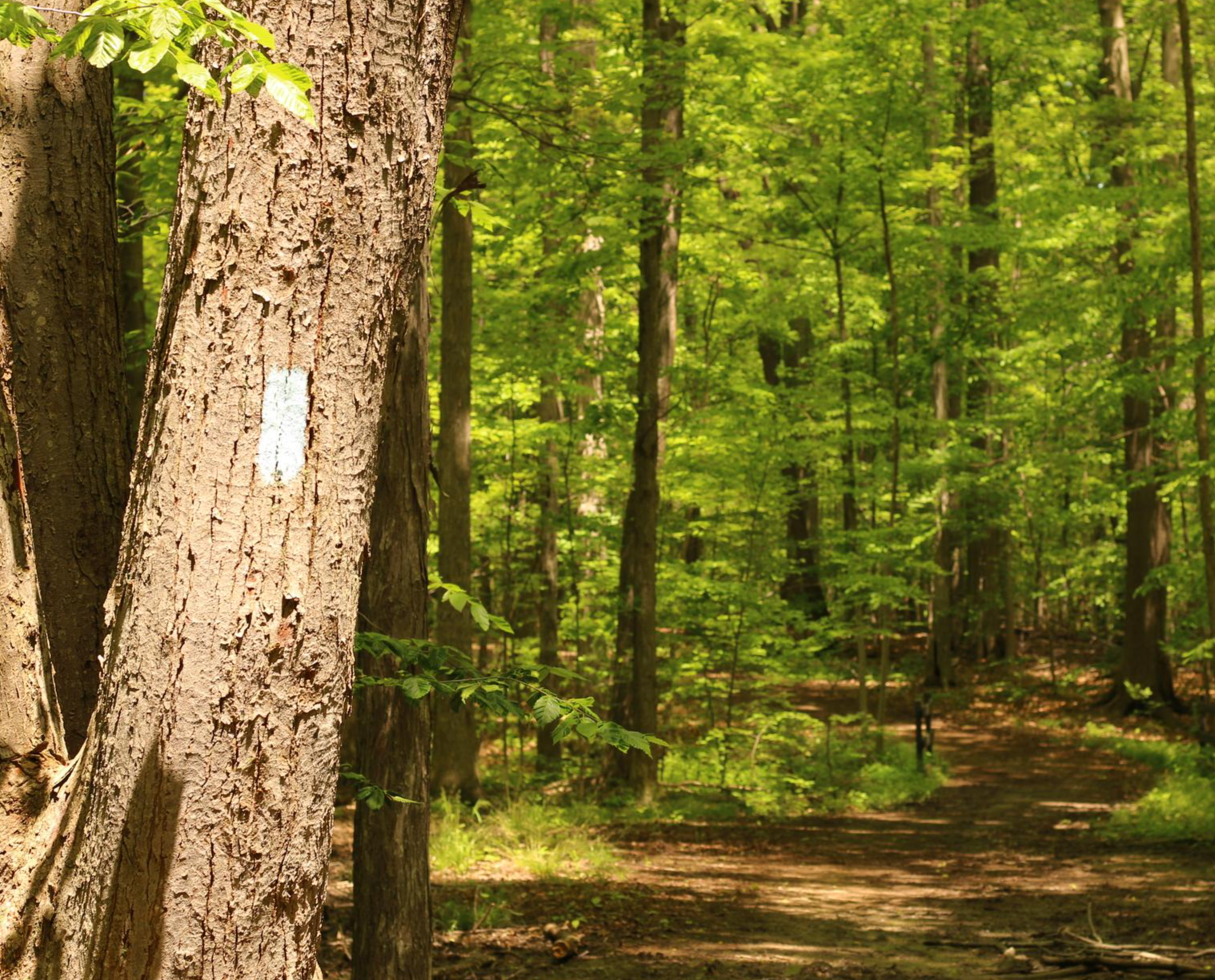
You'll encounter diverse landscapes, from the picturesque farmland and rolling hills of the Agricultural Reserve to scenic corridors along river valleys like the Potomac and Seneca Creek. Many routes also pass through forests and wetlands, offering a rich natural experience.
Are there any longer, more challenging traffic-free road cycling routes?
Yes, for those seeking a longer ride, there are 10 moderate traffic-free routes. Consider the Carillon Park covered bridge – Deeds Carillon loop from Horse Trailer Parking, which spans nearly 70 km and includes some elevation gain.
What do other cyclists say about the traffic-free routes in Montgomery County?
The traffic-free road cycling routes in Montgomery County are highly rated by the komoot community, with an average score of 4.5 stars from 36 reviews. Cyclists often praise the well-maintained paths, scenic views, and the peaceful experience of riding away from vehicle traffic.
Can I find circular traffic-free road cycling routes in the area?
Absolutely. Many of the traffic-free routes in Montgomery County are designed as loops, allowing you to start and end at the same point. Examples include the Roadbike loop from Washington Township and the Kyle Park loop from Vandalia.
What attractions or points of interest can I see along these routes?
You can discover various natural and historical points of interest. Some routes may pass by serene spots like Dogwood Pond or offer views of the Miami River. You might also encounter landmarks such as the Taylorsville Dam or explore areas like Eastwood MetroPark.
Are there any specific parks or natural areas known for traffic-free cycling?
Yes, Montgomery County is home to several parks and natural areas ideal for traffic-free cycling. Seneca Creek State Park, with its 14 miles along Seneca Creek, and the Agricultural Reserve are prime examples. The C&O Canal National Historical Park also offers a historic towpath popular for biking.
Where can I find more information about cycling in Montgomery County?
For additional resources and information about cycling infrastructure and opportunities in the county, you can visit the official Montgomery County Department of Transportation website or the Visit Montgomery website. You can find more details at montgomerycountymd.gov or visitmontgomery.com.
What is the best time of year to enjoy traffic-free road cycling in Montgomery County?
Spring and fall generally offer the most pleasant conditions for road cycling in Montgomery County, with mild temperatures and beautiful scenery. However, many paved trails are accessible year-round, weather permitting, allowing for winter rides on clear days.
Are there any routes that pass through historic or agricultural areas?
Yes, the Agricultural Reserve is a significant feature of Montgomery County, offering routes that wind through picturesque farmland and past historic barns. The Peach Tree Loop in Poolesville is a local favorite that showcases these scenic agricultural landscapes.
Most popular routes in Montgomery County
Most popular attractions in Montgomery County

Get inspired with the komoot mobile app


Didn’t find what you were looking for?
Check out more Road cycling routes throughout Montgomery County below and find the perfect route in your destination.
Explore more
Browse the best Road cycling routes in other regions.
