The best traffic-free bike rides in Cooper County
4.7
(3)
40
riders
3
rides
Gravel biking in Cooper County, Missouri, features an extensive network of no traffic gravel bike trails, characterized by its rural landscapes and riverine influences. The region's topography includes bottomland and upland oldfields, riparian forests, and woodlands, shaped by the Lamine and Blackwater rivers. Cyclists can explore varied terrain, from flat rail-trails like the Katy Trail to more challenging gravel routes through conservation areas. These natural features provide a diverse environment for gravel biking.
Best no traffic gravel bike trails in…
Last updated: July 7, 2026
4.0
(1)
12
riders
42.0km
02:10
120m
120m
Moderate gravel ride. Good fitness required. Mostly paved surfaces. Suitable for all skill levels.
5.0
(1)
9
riders
32.6km
01:41
70m
70m
Easy gravel ride. Great for any fitness level. Mostly paved surfaces. Suitable for all skill levels.

Sign up for free
5.0
(1)
8
riders
25.7km
01:20
90m
90m
Easy gravel ride. Great for any fitness level. Mostly paved surfaces. Suitable for all skill levels.
9
riders
83.1km
04:20
330m
330m
Moderate gravel ride. Good fitness required. Mostly paved surfaces. Suitable for all skill levels.
2
riders
28.4km
01:39
200m
200m
Moderate gravel ride. Good fitness required. Mostly paved surfaces. Suitable for all skill levels.
Our route recommendations are based on thousands of hikes, rides, and runs completed by other people on komoot.
Start today with a free account
Your next adventure awaits.
Login or Signup


Tips from the Community


Bonne Femme Creek—French for “good woman”—is a tributary of the Missouri River and part of the Three Creeks watershed, an area known for karst formations and clear flowing springs. This serene creek crossing offers a tranquil moment in the ride, with shaded banks and peaceful water views.
0
0

Right on the Katy Trail at mile 163.5, Cooper’s Landing offers camping, snacks, and bike repair. Great spot to rest, grab food, and enjoy Missouri River views.
0
0
Stop near mile marker 163 on the Katy Trail to see Boathenge—a circle of upright fiberglass boats arranged like Stonehenge on the Missouri River floodplain. Built in the 1990s, it’s easy to spot near Cooper’s Landing.
0
0
The Big Burr Oak is estimated to be over 350 years old! It’s one of the oldest and largest bur oaks in the country, standing about 90 feet tall with a massive spread.
0
0
Flat Branch Park is where the MKT Trail starts. It’s an easy, mostly flat crushed-limestone path through shady green space that links to the Katy Trail.
2
0

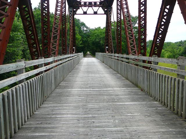
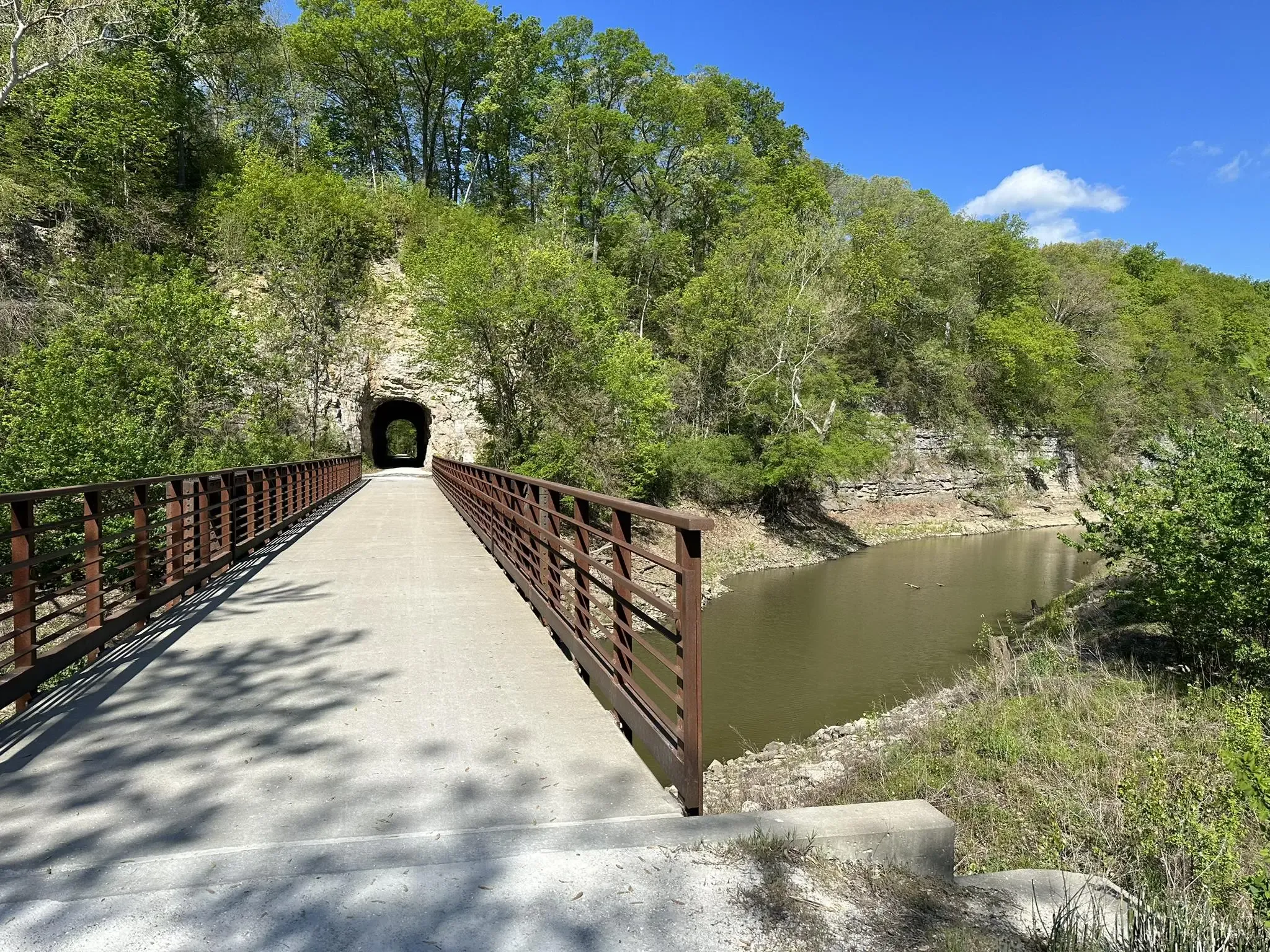
This trail is mostly flat, making it perfect for biking, walking, and running. About half of the trail follows the Missouri River, offering stunning views of towering limestone bluffs and the wide river.
0
0
On June 6, 1804, the Lewis and Clark Expedition camped on the starboard side of the Missouri River after a challenging day navigating strong currents and eroding banks. Earlier, they passed notable landmarks including Split Rock Creek and Saline Creek, the latter known for its salt springs. The day's journey was marked by the river rising a foot overnight and the crew's efforts to mend the barge's mast before setting out.
0
0
Frequently Asked Questions
How many no-traffic gravel bike trails are available in Cooper County?
Komoot currently features four dedicated no-traffic gravel bike routes in Cooper County. These routes offer a range of distances and difficulties, allowing you to explore the region's quiet gravel roads and natural beauty.
What kind of terrain can I expect on no-traffic gravel bike trails in Cooper County?
Cooper County's no-traffic gravel trails primarily traverse rural landscapes, often featuring rolling hills and extensive gravel road networks. You'll encounter a mix of bottomland and upland oldfields, riparian forests, and areas shaped by the Lamine and Blackwater rivers. While the Katy Trail offers a flatter, rail-trail experience, the dedicated gravel routes provide more varied topography.
Are there any easy no-traffic gravel bike trails suitable for beginners or families?
Yes, there are options for easier rides. The Boathenge – Bonne Femme Creek loop from McBaine is an easy 25 km route, perfect for those looking for a less challenging gravel experience away from traffic. The Katy Trail, while not exclusively gravel, also offers a very flat and accessible option for all skill levels.
What are some of the longer no-traffic gravel routes in Cooper County?
For a more extended ride, consider the Burr Oak Big Tree – Torbett Spring loop from Beulah Ralph Elementary, which spans over 83 km. This moderate route provides a substantial gravel biking adventure through the county's scenic areas.
Can I find circular no-traffic gravel bike routes in Cooper County?
Absolutely. All the no-traffic gravel bike routes featured on Komoot for Cooper County are designed as circular loops. This includes routes like the Providence Access loop from Rocheport and the Cooper’s Landing – Boathenge loop from Beulah Ralph Elementary, allowing you to start and end at the same point.
What natural features or scenic viewpoints can I expect to see on these trails?
The no-traffic gravel trails in Cooper County offer glimpses of the region's natural beauty. You might pass through areas like the Cooper Hill Conservation Area, with its diverse mix of woodlands and oldfields, or ride alongside the influences of the Lamine and Blackwater rivers. While specific viewpoints aren't always marked, the rural gravel roads themselves provide continuous scenic vistas of the Missouri landscape.
What is the best time of year to go gravel biking in Cooper County?
Spring and fall generally offer the most pleasant conditions for gravel biking in Cooper County, with milder temperatures and beautiful foliage. Summers can be hot and humid, while winters can bring cold temperatures and potential for snow or ice, making some gravel roads less accessible. Always check local weather forecasts before heading out.
Are there any cultural or historical points of interest near the no-traffic gravel routes?
While the gravel routes themselves focus on natural landscapes, the nearby city of Boonville offers several historical attractions. You could visit the Old Cooper County Jail and Hanging Barn, Thespian Hall, or Warm Springs Ranch, home to the Budweiser Clydesdales. These can be interesting stops if you're extending your trip beyond just biking.
What do other gravel bikers enjoy most about the no-traffic trails in Cooper County?
The Komoot community rates the gravel biking experience in Cooper County highly, with an average score of 4.0 stars. Riders often praise the quiet, traffic-free nature of the routes, the scenic rural landscapes, and the opportunity to explore the extensive gravel road networks away from busy roads.
Is public transport available to access these no-traffic gravel bike trails?
Public transport options directly to the starting points of these specific no-traffic gravel trails in Cooper County are generally limited. Most riders access these routes by car, often parking near the designated start points or trailheads. It's advisable to plan your transport accordingly.
Are there any specific challenges to be aware of on Cooper County's gravel trails?
While many routes are moderate, gravel surfaces can be unpredictable. Be prepared for varying gravel conditions, from packed to loose, and potential for washouts after heavy rain. Some routes include rolling hills, so a good fitness level is beneficial. Always carry sufficient water and supplies, as services can be sparse on these rural, no-traffic roads.

Get inspired with the komoot mobile app


Explore more
Browse the best Gravel rides in other regions.
