The best hikes from bus stations in Santa Clara County
4.6
(644)
10,667
hikers
119
hikes
Hiking in Santa Clara County offers a diverse landscape, characterized by a natural depression between the Diablo Range to the east and the Santa Cruz Mountains to the west. This topography creates varied elevations, from rolling hills to rugged peaks, providing panoramic views. The region features extensive oak woodlands, open grasslands, and numerous trails following creeks and reservoirs, contributing to diverse habitats.
Best bus station hiking trails in Santa Clara County
- The most popular bus station hiking route is San…
Last updated: August 18, 2026
3
hikers
3.89km
00:59
0m
10m
The San Tomas Aquino / Saratoga Creek Trail offers an easy hike through a varied landscape, perfect for a leisurely outing. This multi-use pathway winds through residential areas, parks, and…
1.87km
00:29
0m
0m
The Mission Santa Clara de Asis loop offers a delightful blend of history and urban nature, perfect for a relaxed outing. As you walk the 1.2-mile (1.9 km) path, you…

Sign up for free
4.4
(14)
185
hikers
10.8km
03:01
210m
210m
Moderate hike. Good fitness required. Easily-accessible paths. Suitable for all skill levels.
4.8
(4)
145
hikers
Moderate hike. Good fitness required. Easily-accessible paths. Suitable for all skill levels.
4.5
(4)
72
hikers
Hard hike. Very good fitness required. Easily-accessible paths. Suitable for all skill levels.
Get access to more routes and recommendations from other explorers.
Sign up for free
Already have an account?
Our route recommendations are based on thousands of hikes, rides, and runs completed by other people on komoot.
Start today with a free account
Your next adventure awaits.
Login or Signup
Popular around Santa Clara County
Hikes from bus stations in the Santa Cruz Mountains

Hikes from bus stations in Sierra Azul Open Space Preserve (Closed Areas)

Hikes from bus stations in Stevens Creek County Park

Hikes from bus stations in Picchetti Ranch Open Space Preserve
Hikes from bus stations in Sierra Azul Open Space Preserve
Hikes from bus stations in Lexington Reservoir County Park (Closed Area)
Hikes from bus stations in El Sereno Open Space Preserve
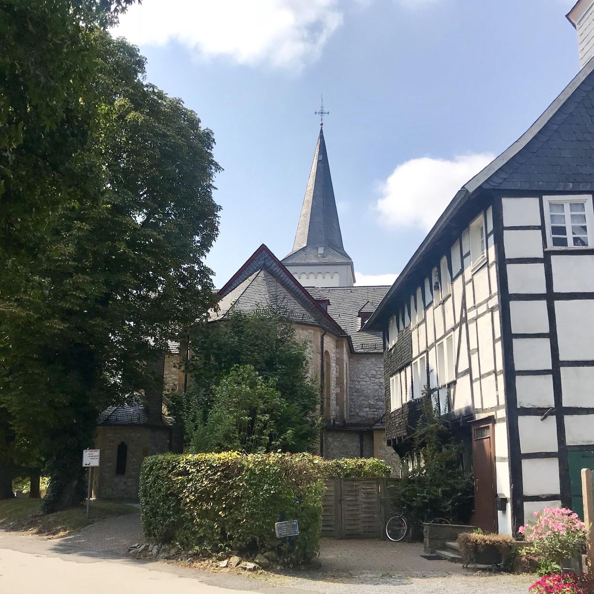
Hikes from bus stations in St. Joseph'S Hill Open Space Preserve

Hikes from bus stations in Rancho San Antonio Open Space Preserve
Hikes from bus stations around San Jose
Other adventures in Santa Clara County


Tips from the Community

Right about here the trail passes beneath Scott Boulevard. Scott Blvd's on-street bike lanes make it a friendlier cycling prospect than some of the other east/west corridors here.
0
0

This Franciscan mission was founded by the Spanish in 1777 and still holds services today. The architecture and gardens surrounding the church are beautiful, and this makes for the perfect place to stroll and take in the local scenery and history.
0
0

Forbes Mill Museum, housed in a two-story building of the original 1854 flour mill, offers a glimpse into Los Gatos' history. Built by James Alexander Forbes as California's first commercial flour mill, over the years, it served various roles, including a power plant and a PG&E substation. Saved from demolition in 1982, the building now features historical exhibits as part of New Museum Los Gatos.
0
0

Rancho San Antonio County Park shares a boundary with Rancho San Antonio Open Space Preserve, which adds almost 4,000 acres of nature to the 289-acre park. The trails are well-kept and well-marked, but all bikes need to keep on paved-paths only.
0
0

Serving as a scenic backdrop to the town of Los Gatos, St. Joseph's Hill is a 1,250-foot hill that looks down Los Gatos Creek valley and down over nearby Lexington Reservoir. It is also the summit of the Manzanita trail, which is a classic ride best done on a gravel bike.
0
0

You can see great views from this spot along the High Meadow Trail. Views include the San Francisco Bay to the northwest and the opposing mountains to the east. There is a small bench to relax on and even enjoy a picnic.
0
0
The summit of Saint Josephs Hill offers views of Los Gatos Creek valley into Silicon Valley and of the Lexington Reservoir. A couple benches and a fence mark the summit of the hill and serve as a good spot for a break while you take in the view.
0
0

Forbes Mill is a now-defunct grist mill originally built in Los Gatos in 1854 and served as the Los Gatos History Museum after it was saved from destruction in 1982. The museum closed in 2014 and its collections are now part of the New Los Gatos Museum. The building is currently owned by the city.
0
0
Frequently Asked Questions
How many hiking trails are accessible from bus stations in Santa Clara County?
There are over 100 hiking trails in Santa Clara County that are conveniently accessible from bus stations. This includes a wide range of options, with 65 easy routes perfect for a leisurely stroll, 34 moderate trails for a more challenging experience, and 3 difficult routes for experienced hikers seeking a strenuous adventure.
What do other hikers enjoy most about the bus-accessible trails in Santa Clara County?
The bus-accessible trails in Santa Clara County are highly rated by the komoot community, with an average score of 4.58 stars from over 625 reviews. Hikers often praise the diverse landscapes, from rolling oak woodlands to scenic creek paths, and the convenience of reaching these natural escapes using public transport.
Are there easy hiking options accessible by bus for beginners or families?
Yes, Santa Clara County offers many easy trails perfect for beginners or families. For instance, the San Tomas Aquino / Saratoga Creek Trail is a gentle, mostly flat path that follows the creek, offering pleasant views and a relaxing experience. Another great option is the Mission Santa Clara de Asis loop, which is short and easy, ideal for a quick outing.
Can I find trails with scenic viewpoints that are accessible by bus?
Absolutely. Many bus-accessible trails lead to stunning viewpoints. For a rewarding climb, consider routes in areas like Rancho San Antonio County Park, where trails can offer panoramic views of the Bay Area. While specific routes vary, the diverse topography of Santa Clara County, with its Diablo and Santa Cruz Mountain ranges, ensures plenty of opportunities for scenic vistas.
Are there any circular hiking routes available from bus stops?
Yes, you can find several circular routes that start and end near bus stops, making them convenient for public transport users. An example is the Hiking loop from Rancho San Antonio County Park, which offers a moderate challenge and brings you back to your starting point. These loops are ideal for exploring without needing to retrace your steps.
What kind of natural attractions can I expect to see along these trails?
Santa Clara County's trails offer a variety of natural attractions. You might encounter serene water features like Camden Ponds or the expansive Uvas Reservoir. Many paths wind through beautiful oak woodlands and grasslands, and during spring, you'll be treated to vibrant wildflowers. Some trails even lead to impressive natural monuments like Black Mountain or offer views from spots like the Byrne Preserve Lookout.
Are there any longer, more challenging bus-accessible hikes?
For those seeking a greater challenge, Santa Clara County does offer longer and more difficult bus-accessible hikes. A notable example is the Rancho San Antonio County Park – View of the Bay Area loop, which is classified as difficult due to its significant distance and elevation gain, providing a strenuous workout and rewarding views.
What is the best season for bus-accessible hiking in Santa Clara County?
While hiking is enjoyable year-round, spring and fall are often considered the best seasons for bus-accessible hiking in Santa Clara County. Spring brings vibrant wildflowers and mild temperatures, while fall offers cooler weather and beautiful foliage. Summer can be warm, especially in inland areas, so early morning hikes are recommended. Winter offers crisp air and fewer crowds, though some higher elevation trails might be cooler.
Are there any historical or cultural points of interest near bus-accessible trails?
Yes, some bus-accessible trails are close to historical or cultural points of interest. For example, the Mission Santa Clara de Asis loop takes you near the historic mission itself. Other areas, like Almaden Quicksilver County Park, feature historic mining sites, offering a glimpse into the region's past. You might also find unique landmarks like Lupe the Mammoth or the impressive Memorial Church near some routes.
Can I find trails that follow creeks or rivers?
Yes, Santa Clara County has several trails that follow creeks and rivers, providing tranquil scenery and riparian habitats. The San Tomas Aquino / Saratoga Creek Trail is a prime example, offering pleasant walks alongside the water. The San Tomas Aquino Creek itself is a notable feature in the area, and other trails like the Coyote Creek Trail also offer similar experiences.
Are there any less crowded bus-accessible hiking options?
While popular parks can get busy, Santa Clara County's extensive network of trails means you can often find less crowded options, especially on weekdays or by exploring some of the moderate or difficult routes. Areas like Mount Madonna County Park or parts of Calero County Park, while accessible, might offer a more secluded experience compared to the most well-known spots.
Most popular routes in Santa Clara County
Most popular attractions in Santa Clara County

Get inspired with the komoot mobile app


Didn’t find what you were looking for?
Check out more Hikes throughout Santa Clara County below and find the perfect route in your destination.
Explore more
Browse the best Hikes in other regions.
