The best traffic-free bike rides in Carroll County
4.7
(23)
1,457
riders
19
rides
No traffic road cycling routes in Carroll County, Maryland, traverse a landscape characterized by gently rolling hills, pastoral valleys, and expansive farmlands. The region features historic scenery with 18th and 19th-century homes, alongside woodlands and tranquil waterways such as the Patapsco River and Big Pipe Creek. This varied terrain offers a mix of gradients suitable for different cycling preferences, from leisurely rides through valleys to more challenging ascents on higher ground.
Best no traffic road cycling routes in Carroll County
…Last updated: October 11, 2026
1
riders
9.76km
00:42
330m
330m
Moderate road ride. Good fitness required. Mostly well-paved surfaces and easy to ride.
11
riders
39.6km
01:36
220m
220m
Easy road ride. Great for any fitness level. Mostly well-paved surfaces and easy to ride.

7
riders
Moderate road ride. Good fitness required. Some segments of this route may be unpaved and difficult to ride.
5
riders
34.4km
01:40
400m
400m
Moderate road ride. Good fitness required. Some segments of this route may be unpaved and difficult to ride.
2
riders
Moderate road ride. Good fitness required. Some segments of this route may be unpaved and difficult to ride.
Get access to more routes and recommendations from other explorers.
Already have an account?
Our route recommendations are based on thousands of hikes, rides, and runs completed by other people on komoot.
Start today with a free account
Your next adventure awaits.



Other adventures in Carroll County

Tips from the Community

One of the most beautiful covered bridges I have ever seen
1
0

Great East Lake is shared between two townships with New Hampshire taking 55% of the surface area. This almost 10,000 acre lake is a great place to picnic on the shore, go boating, fishing, or a plethora of other water sports. The lake is classified as "pristine" in regard to water quality.
0
0

Albany Covered Bridge leads over the Swft River and connect the Kanacamagus Highway with the Passaconaway Road.
0
0

Jackson Falls is a cool set of cascades on the Wildcat River. You can see the falls from the side of the road both above and below the cascades.
0
0

Everything is possible! I went from east to west w a 35kg, approx 80lb, loaded touring bike and I made it. Took me about 45min but it's a great ride. Then head down into Conway! Not much traffic, great road quality. It's short and steep, I walked about 600m (the two 17% parts).
0
0

As soon as you enter Jackson from the South, going past the Wildcat, look to your right for a mild looking road entrance, to Switchback Road. The name suggests what is ahead. The lower section does have switchbacks, so use the outside of the curves to ease the gradient, but as it reaches a 5-way junction (and changes its name to Thorn Mountain), the road designers went full Roman - straight is great! Straight up and up. There is some shade, but not a lot, and when you hit the T at the top, turn left, and keep cranking... the gradient eases a little but you've still got to pedal to the end of the road and the turnaround for the lovely view of the Pressies. Longer and higher than Hurricane Mountain Road, but not as brutal.
1
0
A nice little MTB park on the side of Cranmore Mountain. There's 5 or 6 'non-technical' swoopy, berm-rich trails winding there way dow the mountain, and 3 or 4 'technical' trails which head downhill through the woods, with roots and rocks. These trails are quite accessible for beginner riders and intermediate riders, although advanced downhill riders will find them limited. A regular dual suspension bike is fine for these trails - which you can rent at the bottom of the slopes. You have to buy a ticket online for full or half day for access to the lifts. Unless of course, you want to ride up the Service Road before the ride down.... :)
0
0
An alternative to the Kancamagus Highway - less traffic, more narrow, more peaceful, and only partly ploughed in the winter. Starts on Old West Road straight onto Passaconway or from Allen's Siding Road, and ends at the covered bridge at the trailhead for the Boulder Loop (hiking). You can take the road further, but it turns into single track and an MTB route to Bears Notch Road.
0
0
Frequently Asked Questions
How many no-traffic road cycling routes are available in Carroll County?
Carroll County offers a selection of 13 no-traffic road cycling routes. These routes cater to various skill levels, with 3 easy, 9 moderate, and 1 difficult option, ensuring there's a ride for every cyclist looking for quiet roads.
What kind of scenery can I expect on these no-traffic road cycling routes?
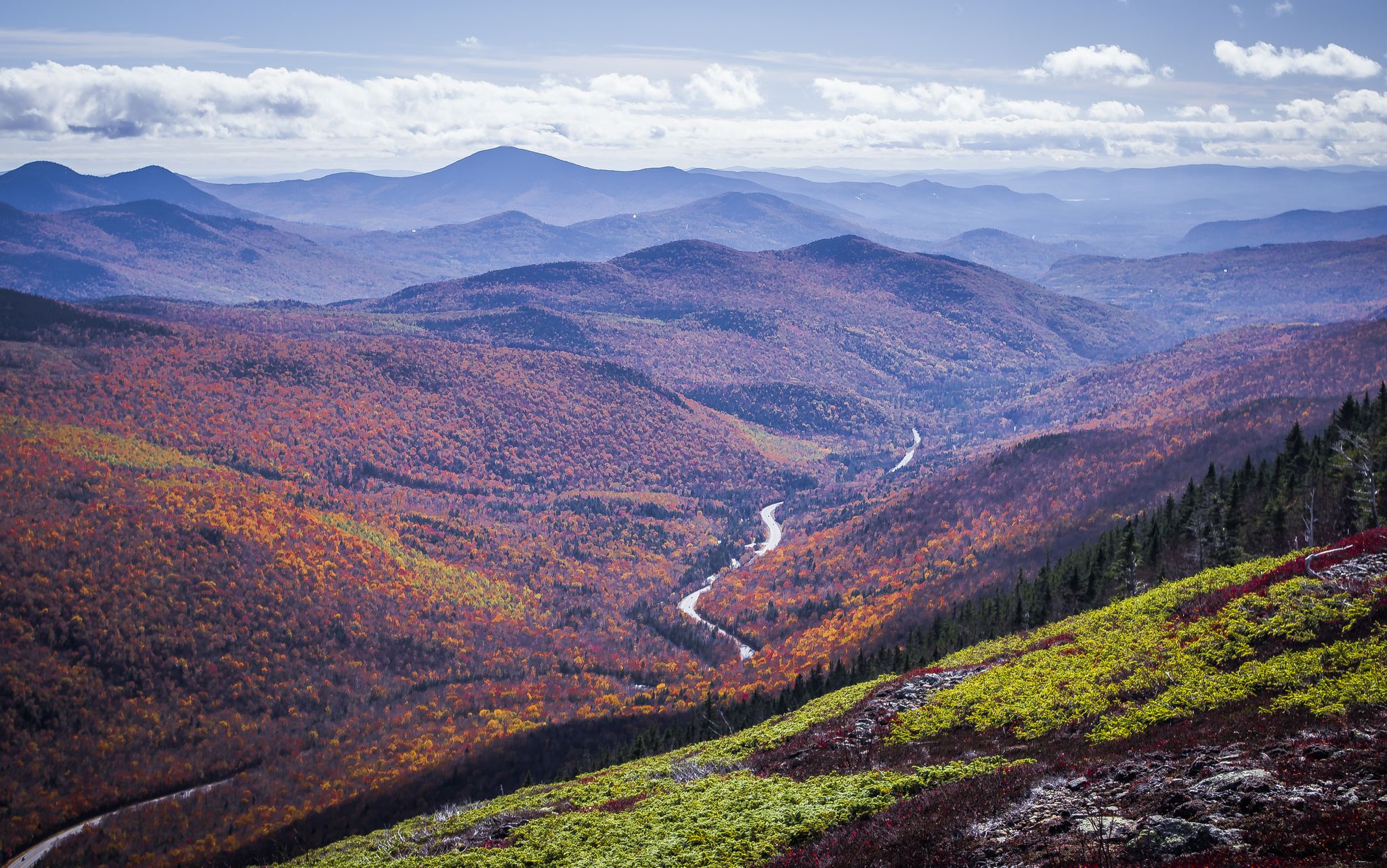
The no-traffic road cycling routes in Carroll County often feature diverse landscapes, from winding through scenic woodlands and along tranquil waterways to offering views of rolling hills and picturesque valleys. You might encounter areas with historic charm or expansive natural beauty, depending on the specific route.
Are there any challenging no-traffic road cycling routes for experienced cyclists?
Yes, for experienced cyclists seeking a challenge, Carroll County offers routes like the Mount Washington Auto Road Bicycle Hillclimb race course. This difficult route covers over 12.5 km with a significant elevation gain of over 1400 meters, providing a demanding and rewarding experience.
What do other cyclists think about the no-traffic road cycling routes in Carroll County?
The no-traffic road cycling routes in Carroll County are highly regarded by the komoot community, boasting an average rating of 4.7 out of 5 stars from 18 reviews. Cyclists often praise the peacefulness of the roads and the beautiful natural surroundings.
Are there any scenic loops for road cycling in Carroll County?
Absolutely. Many routes are designed as loops, allowing you to start and finish in the same location. For example, the Jackson Falls & Middle Mountain loop offers a moderate ride through varied terrain, while the Great East Lake loop from Acton provides a longer, scenic option around the lake.
Can I find routes that pass by lakes or waterfalls in Carroll County?
Yes, several routes offer opportunities to see beautiful natural water features. You might find routes that pass by highlights such as Echo Lake or even the stunning Diana's Baths Waterfalls. These spots provide excellent opportunities for a scenic break.
Are there any longer no-traffic road cycling routes for endurance training?
For those looking for longer rides, routes like the Trapper Pond loop from Powdermill Fish Hatchery offer distances of over 53 km. These routes provide ample opportunity for endurance training while enjoying the quiet roads and scenic views.
What kind of natural attractions can I explore near the cycling routes?
Beyond the cycling itself, Carroll County offers a wealth of natural attractions. You can visit picturesque lakes like Squam Lake or Lake Wentworth. There are also impressive waterfalls such as Glen Ellis Falls and Bemis Falls, perfect for a post-ride exploration.
Are there any viewpoints along the no-traffic road cycling routes?
Yes, some routes offer access to scenic viewpoints where you can take in panoramic vistas of the surrounding landscape. Keep an eye out for spots like Cate Park, which can provide stunning views and a great photo opportunity during your ride.
What is the best time of year to enjoy no-traffic road cycling in Carroll County?
While specific conditions vary, the spring and fall seasons often offer ideal weather for road cycling in Carroll County, with comfortable temperatures and beautiful foliage. Summer can also be pleasant, especially on routes that offer shade or pass by water bodies.
Are there any routes suitable for families or beginners looking for easy no-traffic rides?
Yes, Carroll County has 3 easy-grade no-traffic road cycling routes that are well-suited for families or beginners. These routes typically feature minimal elevation gain and shorter distances, providing a relaxed and enjoyable cycling experience for all skill levels.
What types of terrain can I expect on the no-traffic road cycling routes?
The no-traffic road cycling routes in Carroll County primarily feature paved roads, ideal for race bikes. While many routes traverse gently rolling hills and pastoral valleys, some, like the Mount Washington route, include significant climbs, offering a variety of challenges.
Most popular routes in Carroll County
Most popular attractions in Carroll County

Get inspired with the komoot mobile app


Didn’t find what you were looking for?
Check out more Road cycling routes throughout Carroll County below and find the perfect route in your destination.
Explore more
Browse the best Road cycling routes in other regions.
