The best hikes from bus stations around Mieres
4.5
(1555)
13,009
hikers
31
hikes
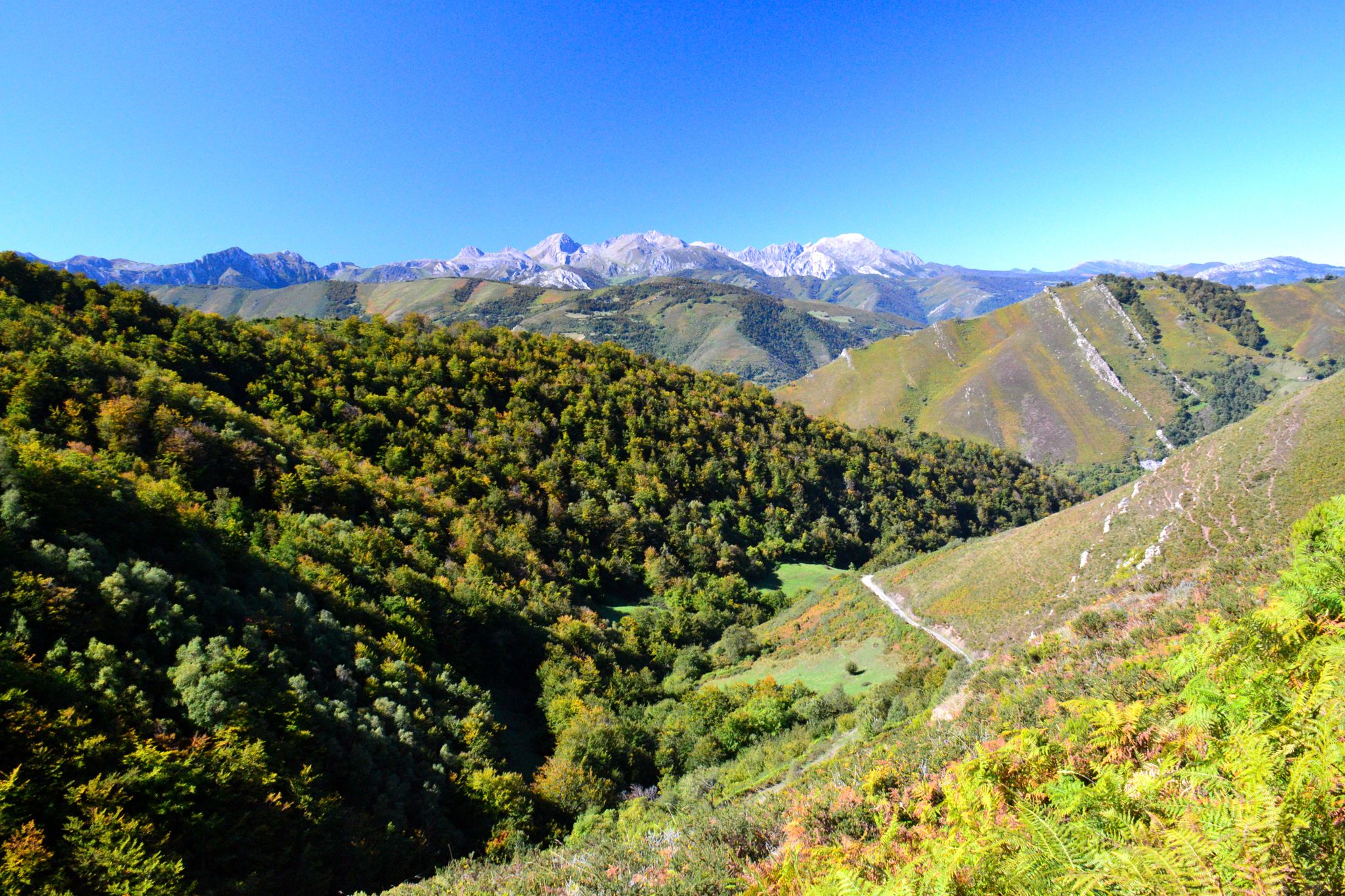
Hiking around Mieres offers diverse natural landscapes within Asturias, Spain. The region features lush green mountains, dense forests of beech and oak, and picturesque river valleys, all part of the broader Cantabrian Mountains. This varied topography provides a wide array of hiking experiences. Unique geological formations, such as natural arches, are also present.
Best bus station hiking trails around Mieres
- The most popular bus station hiking route is Peña Mea Summit Trail, a 9.1 miles (14.6 km) trail that…
Last updated: October 10, 2026
4.9
(23)
168
hikers
14.6km
06:15
1,060m
1,060m
Hike the challenging 9.1-mile Peña Mea Historic Trail to the summit for panoramic views and the iconic Ojo de Buey natural arch.
4.8
(11)
113
hikers
8.01km
02:42
380m
380m
Moderate hike. Good fitness required. Mostly accessible paths. Sure-footedness required.

4.5
(6)
52
hikers
21.5km
06:42
810m
810m
Hard hike. Very good fitness required. Easily-accessible paths. Suitable for all skill levels.
4.7
(6)
34
hikers
13.8km
05:09
850m
850m
Hard hike. Very good fitness required. Mostly accessible paths. Sure-footedness required.
4.3
(3)
27
hikers
16.3km
05:25
760m
760m
Hard hike. Very good fitness required. Easily-accessible paths. Suitable for all skill levels.
Get access to more routes and recommendations from other explorers.
Already have an account?
Our route recommendations are based on thousands of hikes, rides, and runs completed by other people on komoot.
Start today with a free account
Your next adventure awaits.
Popular around Mieres
Hikes from bus stations in Redes
Hikes from bus stations around National Park Redes
The secrets of the Cantabrian Mountains – GR 109 Asturias Interior
Central Mountain Cycling Ring GR 208 - Tour of the Asturian Mountains
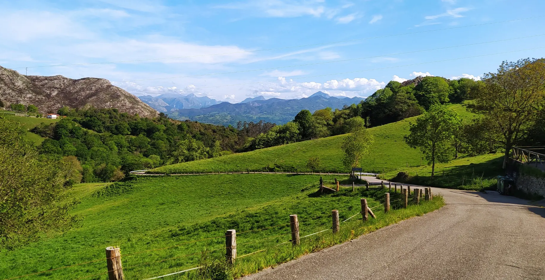
Great mountain passes of Picos de Europa on road bikes
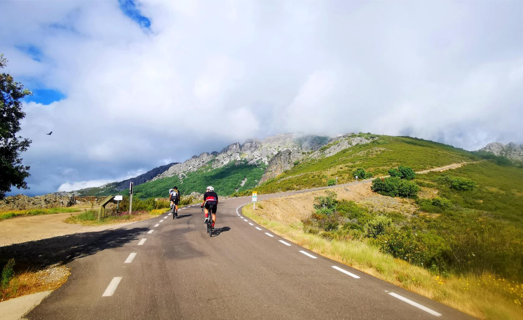
Legendary climbs - Ports of La Vuelta a España
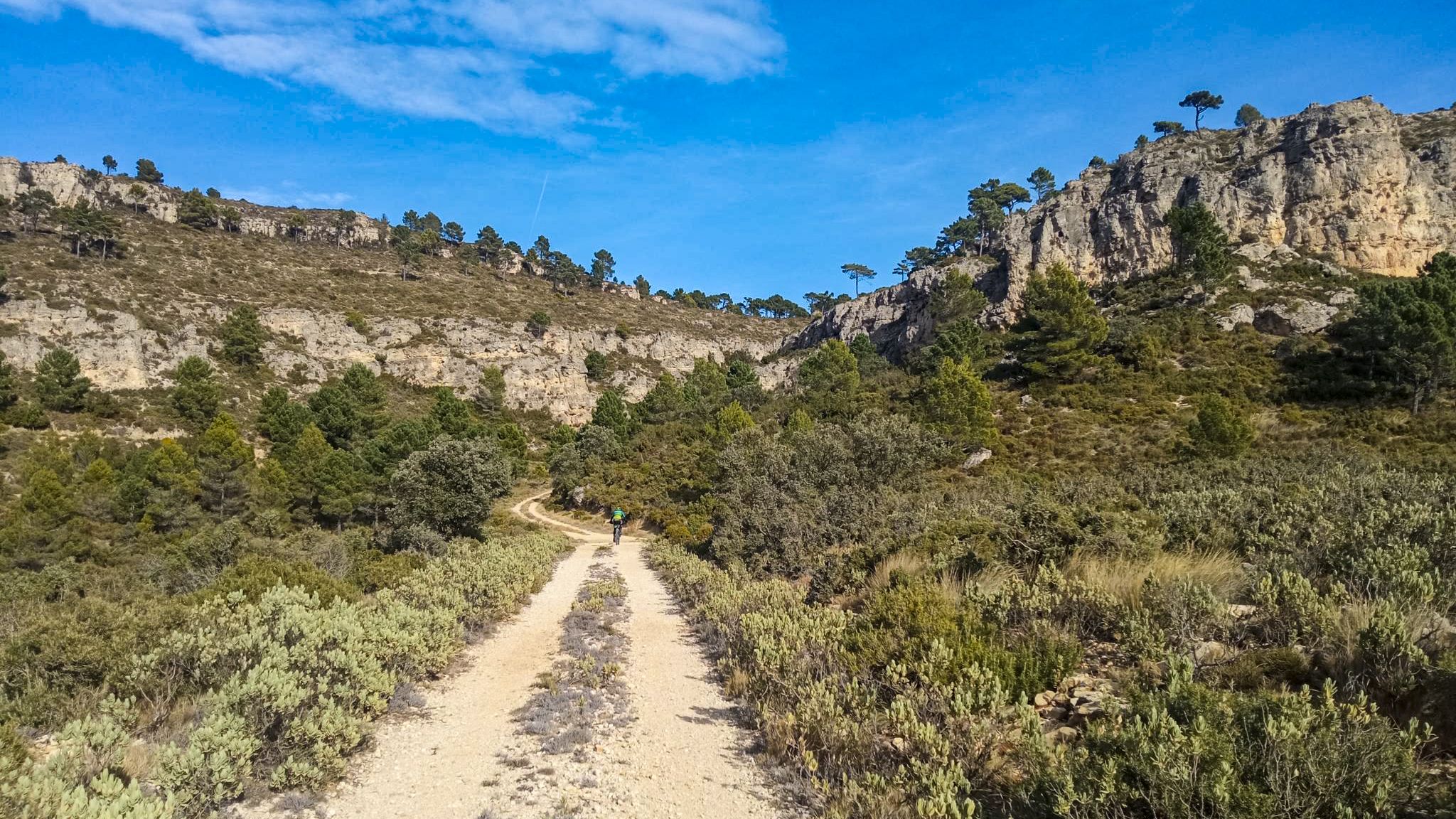
10 gravel routes to discover hidden gems in Spain

TransCantabrica – Extreme mountain biking in northern Spain
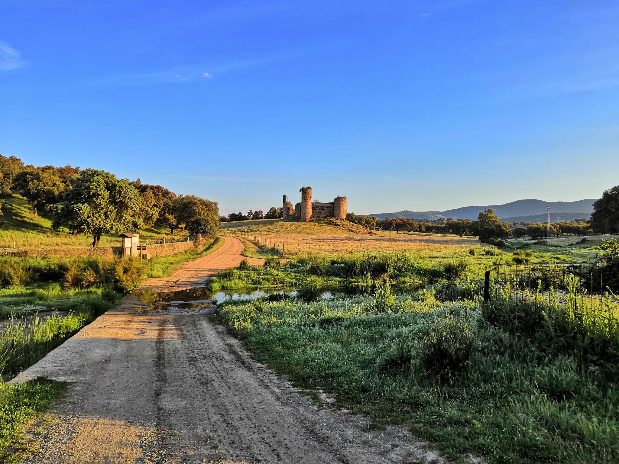
A romantic journey in the footsteps of the Romans – Via de la Plata
The heart of Asturias – Central Mountain Cycling Ring
Other adventures around Mieres


Tips from the Community

Beautiful hike up from Pelluno. Even if you go up to Peña Mea/Ojo de Buey, I would include the Collada de Pelúgano.
0
0

La Felechosa is a town steeped in mining and livestock traditions in the municipality of Aller. It is located at the gateway to the beautiful Asturian mountains, especially the Fuentes de Invierno ski resort. Its well-preserved historic center offers a varied culinary offering.
0
0

It's a beautiful place and a dreamlike landscape. What a shame the shelter isn't working. These politicians we have don't do a single thing right.
0
0

Very prepared trails, levels for all tastes.
0
0

Peña Mea, with its 1557 m altitude, is one of the best known peaks in Asturias.
2
0
The Ojo de Buey (L'Arcón de la Finistra) is in the Peña Mea massif, in central Asturias, between the councils of Aller and Laviana. It is an impressive window of more than 20 meters in diameter, created by erosion of the limestone rock. It is worth seeing this tremendous hole from different angles.
4
0
This special tour is located in the Picu La Vara. The trail will run between Campa El Españeu and La Corcia, with a length of 3.5 kilometers and an average width of 0.8 meters.
0
0
In Pola de Laviana there are several examples of Casas Indianas that are worth seeing. One of the most famous is the House of the Lions, which is located in the center of town. This large house was built at the beginning of the 20th century by a wealthy Asturian emigrant who had made his fortune in Cuba. Another example is the Casa de los Caballos, also built at the beginning of the 20th century. This house has a mix of styles, including Art Nouveau and Neo-Renaissance, and is known for its ornate balconies and loggias.
1
0
Frequently Asked Questions
How many bus-accessible hiking trails are available around Mieres?
There are nearly 20 hiking routes around Mieres that are easily accessible by bus, offering a variety of experiences from moderate strolls to challenging mountain ascents. These trails are highly rated by the komoot community, with an average score of 4.5 out of 5 stars.
Are there any easy bus-accessible hikes suitable for beginners or families?
Yes, Mieres offers several easy bus-accessible routes perfect for beginners or families. These trails typically feature gentler terrain and shorter distances, allowing everyone to enjoy the natural beauty of the Asturian landscape. While specific easy routes are not listed here, you can find 4 easy tours in the full guide.
What kind of natural attractions can I expect to see on these bus-accessible trails?
The bus-accessible trails around Mieres lead through diverse landscapes, including lush forests of beech and oak, scenic river valleys, and mountainous terrain. You can discover unique geological formations like the Ojo de Buey (L'Arcu de la Finiesta) on Peña Mea, and enjoy panoramic vistas from various viewpoints such as the Texu la Oración Viewpoint. The region is also known for stunning waterfalls like Cascada Xurbeu and Tabayón de Mongallu, especially vibrant in spring.
Are there any challenging bus-accessible routes for experienced hikers?
Absolutely. For experienced hikers seeking a challenge, routes like the Peña Mea Summit Trail offer significant elevation gain and breathtaking views of the Asturian peaks. Other difficult options include the Texu la Oración Viewpoint – Crestón Tunnel loop from Bezanes and the Marmartín River loop from Felechosa, which provide demanding climbs and rewarding scenery.
Can I find circular hiking routes that start and end at a bus stop?
Many of the trails accessible by bus around Mieres are designed as circular routes, allowing you to start and finish your hike conveniently at the same bus stop. Examples include the Marmartín River – Fuente Las Gavilanceras loop from Felechosa and the Felechosa Short Route – Marmartín River loop from Felechosa, which offer varied scenery without needing to retrace your steps.
What is the best time of year to go hiking from bus stations in Mieres?
The best time to hike in Mieres is generally during spring (when waterfalls are most vibrant) and autumn (for stunning foliage). Summer offers warm weather, but some higher altitude trails can be very exposed. Winter hiking is possible, especially on lower elevation routes, but requires appropriate gear and checking weather conditions for snow or ice in the mountains.
Are there any bus-accessible trails that lead to natural parks or protected areas?
Yes, Mieres serves as a gateway to several protected natural spaces. Many bus routes can take you to trailheads within or near the Redes Natural Park, a UNESCO biosphere reserve known for its high mountain landscapes and rich biodiversity. The Green Belt of Turon is also easily accessible, offering a closer-to-town natural escape.
What do other hikers enjoy most about the bus-accessible trails in Mieres?
The komoot community highly rates the bus-accessible trails in Mieres, with an average score of 4.5 out of 5 stars from over 1,100 ratings. Reviewers often praise the region's diverse natural beauty, from dense forests and river valleys to panoramic mountain views. The convenience of public transport access to such varied and rewarding landscapes is also frequently highlighted.
Are there any long-distance hiking opportunities accessible by bus from Mieres?
Mieres is a significant hub for long-distance trails. Sections of the historic Camino de Santiago (specifically the "El Salvador Route") and the Ruta de la Plata (Silver Route) pass through the region. Additionally, the GR109, the Cantabrian Mountains Nature Trail, offers extensive long-distance hiking opportunities that can be accessed via bus connections from Mieres to various trailheads.
Can I find any viewpoints or mountain passes along the bus-accessible routes?
Many bus-accessible routes in the Mieres area offer spectacular viewpoints and traverse mountain passes. You can reach passes like La Cubilla Pass, Alto de Santo Emiliano, and Alto del Cordal, which provide expansive vistas of the surrounding Asturian landscape. The Texu la Oración Viewpoint is another notable spot for panoramic views.
Are there any trails that feature unique geological formations?
Yes, the region around Mieres is known for its interesting geology. The Peña Mea Summit Trail, for instance, leads to the iconic natural arch known as the Ojo de Buey (L'Arcu de la Finiesta). Another notable formation, the Cabeza de Arco, can be found on trails within the Redes Natural Park, offering unique sights for hikers.
Most popular routes around Mieres
Most popular attractions around Mieres

Get inspired with the komoot mobile app


Didn’t find what you were looking for?
Check out more Hikes throughout Mieres below and find the perfect route in your destination.
Explore more
Browse the best Hikes in other regions.
