The best hikes from bus stations around Campo de Borja
4.5
(284)
2,266
hikers
13
hikes
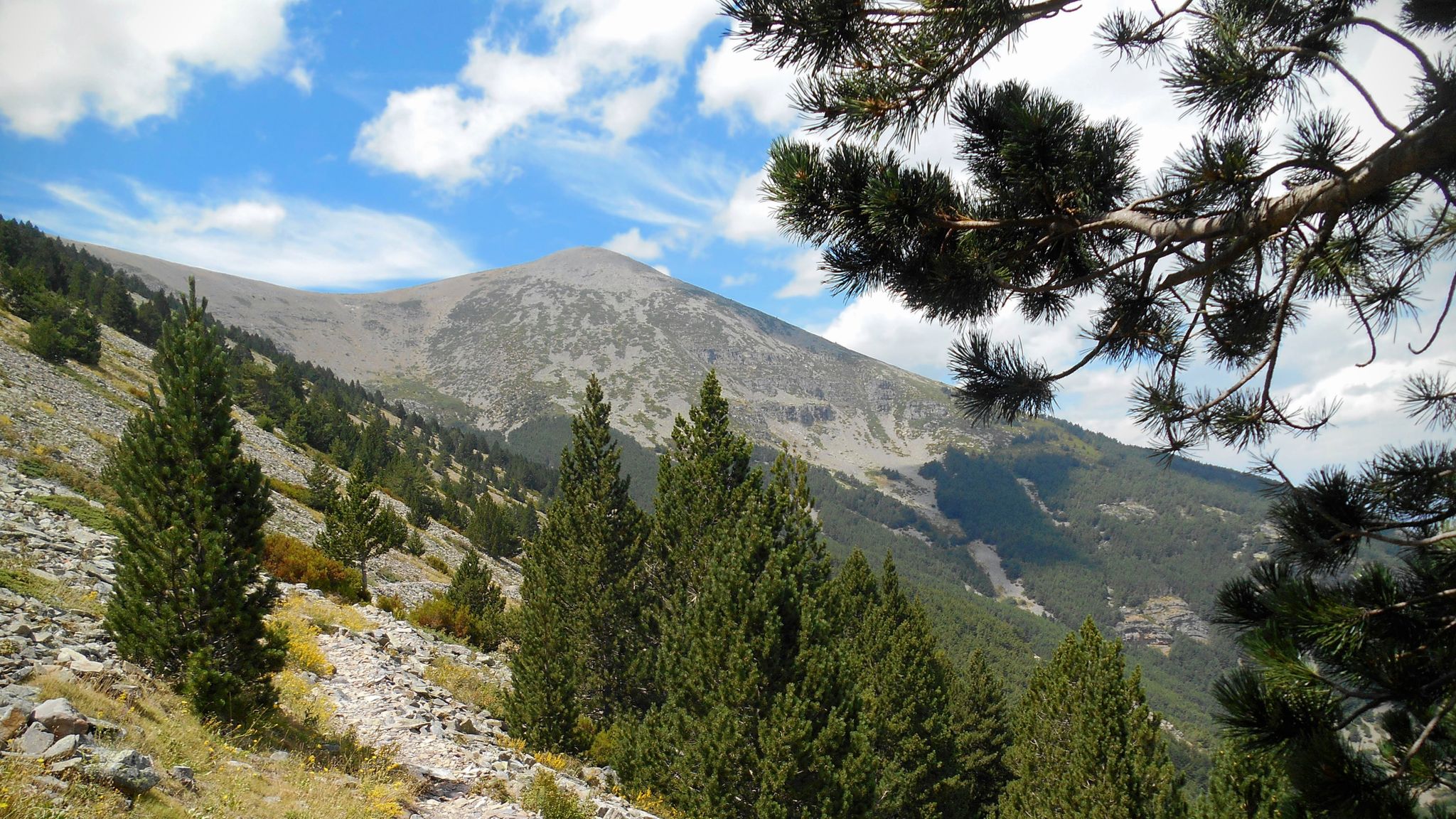
Bus station hiking trails around Campo de Borja offer access to a diverse landscape in the Aragon region of Spain. The area serves as a transitional zone between the Iberian System and the Ebro Valley, featuring elevations from 350m to over 2,300m at Moncayo Mountain. Hikers can explore a variety of terrains, including plateaus, rolling hills, mountainous areas, and extensive vineyards. Natural features like oak forests, olive groves, and almond orchards define many of the routes.
Best bus station hiking…
Last updated: July 7, 2026
4.4
(5)
47
hikers
8.73km
02:24
140m
140m
Moderate hike. Good fitness required. Easily-accessible paths. Suitable for all skill levels.
13.1km
03:38
250m
250m
Moderate hike. Good fitness required. Easily-accessible paths. Suitable for all skill levels.

Sign up for free
4.6
(9)
47
hikers
13.7km
03:50
260m
260m
Moderate hike. Good fitness required. Easily-accessible paths. Suitable for all skill levels.
4.0
(1)
12
hikers
8.22km
02:52
470m
470m
Moderate hike. Good fitness required. Easily-accessible paths. Suitable for all skill levels.
2
hikers
12.2km
03:47
450m
450m
Moderate hike. Good fitness required. Easily-accessible paths. Suitable for all skill levels.
Get access to more routes and recommendations from other explorers.
Sign up for free
Already have an account?
Our route recommendations are based on thousands of hikes, rides, and runs completed by other people on komoot.
Start today with a free account
Your next adventure awaits.
Login or Signup
Popular around Campo de Borja

Other adventures around Campo de Borja


Tips from the Community

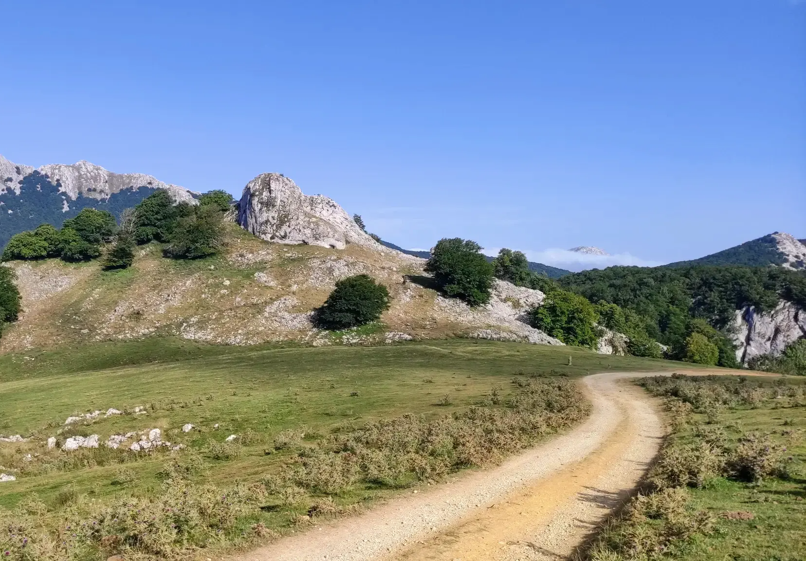
The main attraction of the route lies in the spectacular geomorphology of the massif, formed by conglomerates composed of a diverse range of blocks and boulders of varying sizes, known locally as "Las Roscas" (The Rings). The track that circles them is in excellent condition. Access to the base is possible. Be aware of any restrictions!
0
0

It is difficult to visit, but in the town there is a Cave Interpretation Center.
0
0
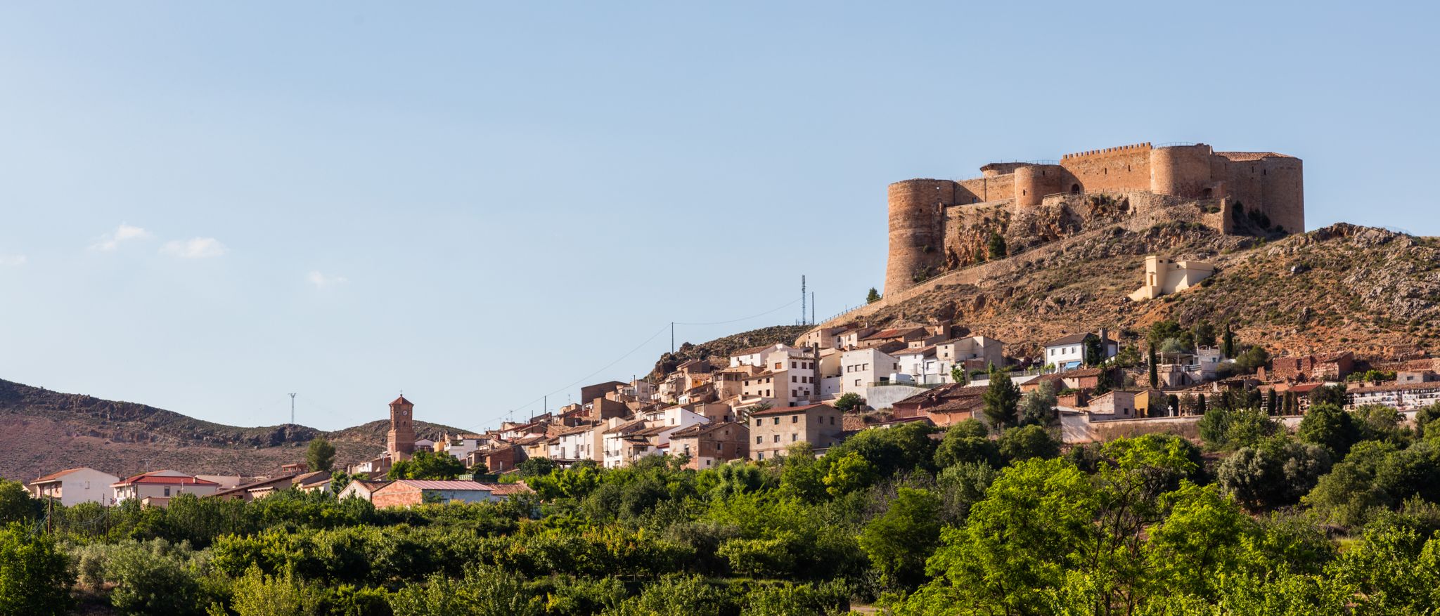
Beautiful town of Soria at the foot of Moncayo. Its name is due to its Cave that appears in the photo. Good bar and good torreznos.
1
0
Last part of the climb, the hardest.
1
0

Valverde was located at the confluence of the kingdoms of Castilla, Navarra and Aragón. According to the legends, when the kings Sancho el Fuerte, Alfonso II el Casto and Alfonso VII met on one occasion to delimit the limits of their reigns, each one was sitting in his own kingdom.
1
0
Neighborhood with 15 inhabitants that belongs to the municipality of Cervera de Río Alhama. From here there is a very interesting path that takes you to the impressive Añamaza reservoir.
1
0

Good place to take a look at the Roscas crest.
3
0

Running along the bottom of the Val ravine, we come across a sign that indicates the detour to the Peña del Tío Fresquito, which we will access by a small staircase and a subsequent climb. If we can do it, it is worth it for the good views it offers us of the Val valley.
1
0
Frequently Asked Questions
How many bus station accessible hiking trails are available in Campo de Borja?
There are 14 hiking trails in Campo de Borja that are accessible from bus stations. These routes offer a variety of experiences, ranging from easy strolls to more challenging ascents.
What types of terrain can I expect on bus-accessible hikes in Campo de Borja?
The region offers diverse terrain, transitioning from the rugged Iberian System to the fertile Ebro Valley. You'll find trails winding through extensive vineyards, olive groves, and almond orchards, as well as more mountainous areas, particularly around the foothills of Moncayo. Elevations can vary significantly, providing a dynamic hiking experience.
Are there any circular routes accessible from bus stations?
Yes, several circular routes are available. For example, you can enjoy the Circuito de las Roscas – circular from Fitero via Camino del Soto, a moderate 8.7 km loop. Another option is the From Valverde to Valdegutur — circular, which covers about 13 km.
What natural features or landmarks can I see along these bus-accessible trails?
Many trails offer views of significant natural features. You might encounter viewpoints like View of Moncayo or Views of the Peñas de Herrera. Some routes also pass by natural monuments such as Fuente de los Frailes or the unique Pozuelo de Aragón Geyser.
Are there family-friendly hiking options reachable by bus?
While specific family-friendly routes from bus stations are not detailed, the region offers attractions like the "Burosque Encantado" (Enchanted Forest) in Bureta, which features tree houses and is very appealing for families. When choosing a trail, look for those marked as 'easy' in the guide, which typically have shorter distances and less elevation gain.
What is the best season for hiking in Campo de Borja?
The continental climate of Campo de Borja features hot, dry summers and cold winters. Spring and autumn are generally the most pleasant seasons for hiking, offering mild temperatures and beautiful scenery, especially with the changing colors of the vineyards and forests. Summers can be very hot, and winters can be cold, particularly at higher elevations like Moncayo.
What is the difficulty level of the bus-accessible hikes?
The bus-accessible hikes in Campo de Borja cater to various fitness levels. Out of the 14 routes, 4 are considered easy, 9 are moderate, and 1 is difficult. This allows you to choose a trail that matches your experience and desired challenge.
Can I reach the Moncayo Natural Park area by bus for hiking?
Yes, public transport routes can take you to the vicinity of Moncayo Natural Park. From these bus stops, you can access trails that lead into the park, offering varied forest terrain, including beautiful oak forests, and opportunities for panoramic views from higher points like the Moncayo Summit.
What do other hikers say about the trails in Campo de Borja?
The hiking trails in Campo de Borja are highly regarded by the komoot community, with an average rating of 4.6 stars from over 250 reviews. Hikers often praise the diverse landscapes, the tranquility of the routes, and the stunning views, especially those of Moncayo Mountain and the surrounding vineyards.
Are there any moderate hikes that offer significant elevation gain?
Yes, for a moderate challenge with notable elevation, consider the Church of San Juan Bautista loop from Tabuenca. This route covers approximately 12.8 km with nearly 500 meters of ascent, offering a good workout and rewarding views.
Which bus-accessible trail offers a good balance of distance and elevation for a moderate hike?
The Peña del Tío Fresquito loop from Ágreda is a great option. It's a moderate 13.7 km route with over 260 meters of elevation gain, providing a satisfying and scenic hiking experience.
Most popular routes around Campo de Borja
Most popular attractions around Campo de Borja

Get inspired with the komoot mobile app


Didn’t find what you were looking for?
Check out more Hikes throughout Campo de Borja below and find the perfect route in your destination.
Explore more
Browse the best Hikes in other regions.
