The best hikes from bus stations around Campiña Alta
4.3
(427)
2,134
hikers
21
hikes
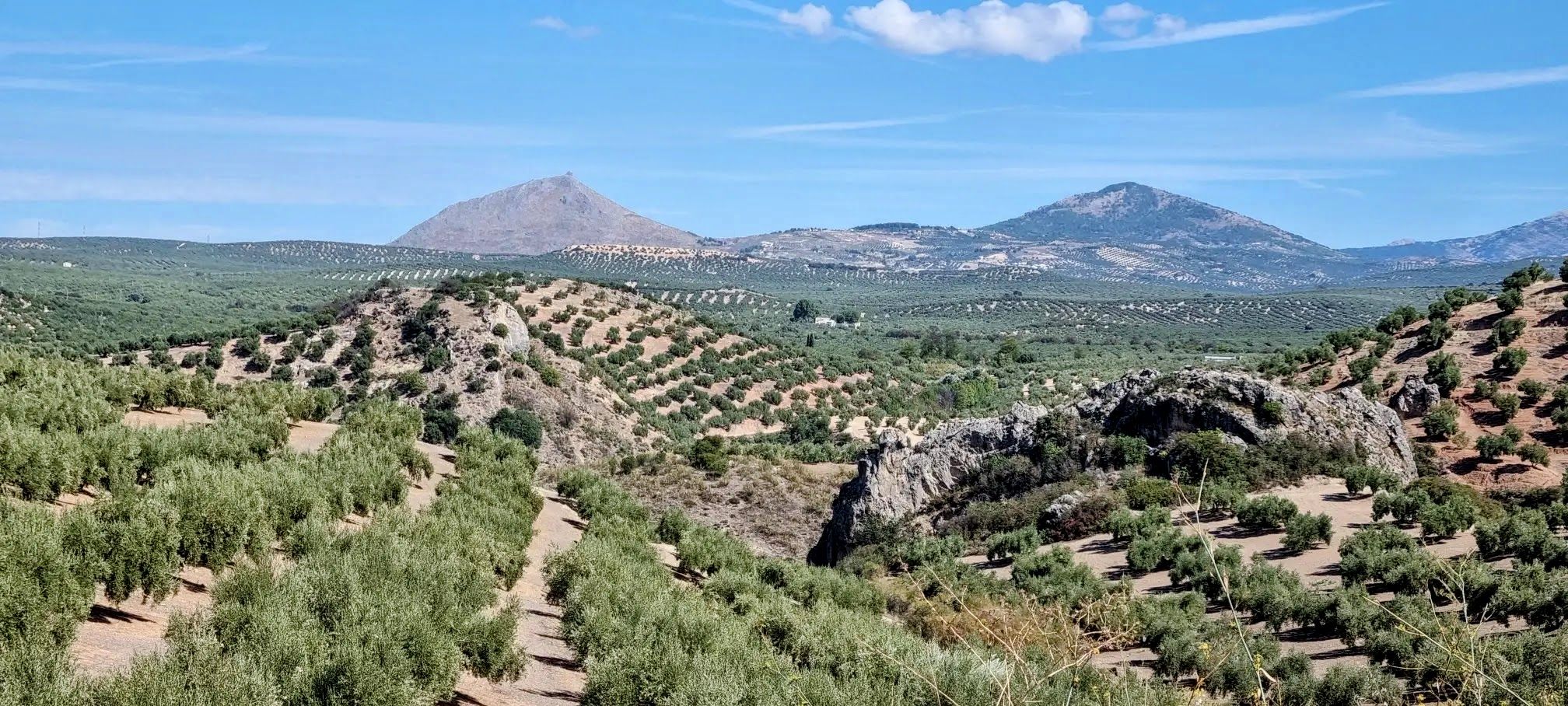
Bus station hiking trails around Campiña Alta traverse a landscape characterized by varied terrain, including river valleys and areas with limestone formations. The region offers a mix of natural parks and undulating paths. Hikers can explore diverse ecosystems and routes that often lead to scenic viewpoints. This area provides a range of experiences for different fitness levels.
Best bus station hiking trails around Campiña Alta
- The most popular bus station hiking route is Mozarabic Trail: Baena to Cueva del Yeso…
Last updated: May 26, 2026
18.4km
05:08
350m
350m
Hard hike. Very good fitness required. Easily-accessible paths. Suitable for all skill levels.
5.0
(2)
19
hikers
16.4km
05:19
730m
730m
Hard hike. Very good fitness required. Easily-accessible paths. Suitable for all skill levels.

Sign up for free
18
hikers
13.0km
03:29
160m
160m
Moderate hike. Good fitness required. Easily-accessible paths. Suitable for all skill levels.
13
hikers
13.8km
03:38
120m
120m
Moderate hike. Good fitness required. Easily-accessible paths. Suitable for all skill levels.
6
hikers
10.9km
02:59
160m
160m
Moderate hike. Good fitness required. Easily-accessible paths. Suitable for all skill levels.
Get access to more routes and recommendations from other explorers.
Sign up for free
Already have an account?
Our route recommendations are based on thousands of hikes, rides, and runs completed by other people on komoot.
Start today with a free account
Your next adventure awaits.
Login or Signup

Other adventures around Campiña Alta


Tips from the Community


Beautiful climb to the top of the hermitage of the Virgen de la Sierra. From this religious environment we can observe the entire immensity of the Subbética, it is worth the climb to enjoy the exceptional views
1
0


At the top of the Sierra de Cabra we find the Ermita de Nuestra Señora de la Sierra with impressive views of the entire Sierra Subbéticas y de Cabra Natural Park. With a demanding path but worth saving those meters to get to the top!
0
0

This hermitage is located at the top of the Picacho de la Sierra de Cabra. From the height of 1200 masl you have spectacular views of the mountains and the countryside.
2
0

Small hermitage on the outskirts of Cabra built between 1619 and 1622 by Félix Benito de Vargas. It is located on a homonymous hill that gives it a very photogenic aspect. It was restored in the year 2021.
2
0
Halfway between Córdoba, Granada and Jaén, Baena watches over the olive groves of the countryside from a hill. Its urban structure is clearly differentiated into two halves divided by the N-432 that crosses it. One of these halves, the oldest, preserves the sinuous Arab layout with narrow houses and steep streets.
3
0
From the Sanctuary of the Virgin of the Sierra de Cabra they do have wonderful views of the mountains and the countryside. A semicircular stone map helps you interpret the panorama.
1
0
Frequently Asked Questions
How many bus station hiking trails are available in Campiña Alta?
There are over 20 bus station hiking trails in Campiña Alta, offering a variety of experiences for different skill levels. You'll find everything from moderate walks to more challenging routes.
What kind of landscapes can I expect on bus-accessible hikes in Campiña Alta?
Hikes accessible from bus stations in Campiña Alta traverse a diverse landscape. You can expect varied terrain, including river valleys, areas with limestone cliffs, and scenic views. Some routes might even offer glimpses of natural parks or coastal beauty, depending on the specific location within the broader Campiña region.
Are there any easy or family-friendly bus station hikes in Campiña Alta?
Yes, Campiña Alta offers several easy bus station hikes suitable for families or beginners. While specific easy routes aren't detailed here, the region generally provides trails that are less demanding, allowing everyone to enjoy the natural surroundings.
Can I find challenging bus station hikes in Campiña Alta?
Absolutely. For those seeking a more strenuous adventure, Campiña Alta features a few difficult bus station hikes. Routes like the Mozarabic Trail: Baena to Cueva del Yeso and Camino de Góngora – Picacho de Cabra Viewpoint loop from Cabra offer significant elevation gain and longer distances, providing a rewarding challenge.
Are there circular hiking routes accessible from bus stations?
Yes, many of the bus station hikes in Campiña Alta are circular, allowing you to start and end your journey at the same point without needing to retrace your steps. Examples include the Camino de Góngora – Picacho de Cabra Viewpoint loop from Cabra and the Steam locomotive - Mikado – Sima Viaduct loop from Cabra.
What interesting sights or landmarks can I see along these bus station trails?
Along the bus station trails, you can discover various points of interest. Depending on your chosen route, you might encounter natural monuments like Fuente del Río or the Poljé of the Nava de Cabra. There are also beautiful lakes such as Laguna del Rincón and Laguna de Tíscar, and historical sites like the Church of Santo Domingo.
When is the best time of year to hike from bus stations in Campiña Alta?
The best time to hike in Campiña Alta generally depends on the specific area and your preference. Spring and autumn often offer pleasant temperatures and vibrant scenery, making them ideal. Summer can be hot, especially in inland areas, so early mornings or late afternoons are recommended. Winter can be mild, but always check local weather conditions.
Are the bus station hiking trails in Campiña Alta dog-friendly?
Many trails in Campiña Alta are dog-friendly, allowing you to enjoy the outdoors with your canine companion. However, it's always advisable to keep your dog on a leash, especially in natural parks or areas with livestock, and to check for any specific local regulations or restrictions before you go.
What do other hikers say about the bus station trails in Campiña Alta?
The bus station trails in Campiña Alta are highly regarded by the komoot community, with an average rating of 4.4 out of 5 stars from over 400 reviews. Hikers often praise the diverse landscapes, the convenience of public transport access, and the variety of routes available.
Are there places to eat or stay near the bus station hiking trails?
Yes, depending on the specific bus station and trail you choose, you can often find cafes, pubs, or accommodation options in nearby towns or villages. Areas like Cabra and Lucena, which serve as starting points for several routes, offer amenities for hikers.
Most popular routes around Campiña Alta
Most popular attractions around Campiña Alta

Get inspired with the komoot mobile app


Explore more
Browse the best Hikes in other regions.
