The best hikes from bus stations around Campo De Gibraltar
4.5
(2425)
14,011
hikers
161
hikes
Bus station hiking trails around Campo De Gibraltar traverse a region where the Atlantic Ocean meets the Mediterranean Sea, offering diverse landscapes for outdoor exploration. The terrain features extensive cork oak forests within Parque Natural Los Alcornocales, rugged coastlines, and elevated viewpoints. Hikers can experience a blend of woodland environments, coastal paths, and areas with historical significance.
Best bus station hiking trails around Campo De Gibraltar
- The most popular bus station hiking route is Betijuelo – Punta Paloma Beach loop…
Last updated: July 7, 2026
4.5
(53)
182
hikers
10.0km
03:02
320m
320m
Moderate hike. Good fitness required. Easily-accessible paths. Suitable for all skill levels.
4.6
(59)
293
hikers
Moderate hike. Great for any fitness level. Mostly accessible paths. Sure-footedness required.

Sign up for free
4.5
(21)
78
hikers
10.8km
03:05
250m
250m
Moderate hike. Good fitness required. Easily-accessible paths. Suitable for all skill levels.
4.5
(15)
55
hikers
Easy hike. Great for any fitness level. Easily-accessible paths. Suitable for all skill levels.
4.8
(30)
138
hikers
11.1km
02:57
120m
120m
Moderate hike. Good fitness required. Easily-accessible paths. Suitable for all skill levels.
Get access to more routes and recommendations from other explorers.
Sign up for free
Already have an account?
Our route recommendations are based on thousands of hikes, rides, and runs completed by other people on komoot.
Start today with a free account
Your next adventure awaits.
Login or Signup
Popular around Campo De Gibraltar

Hikes from bus stations in Estrecho

Hikes from bus stations around Río De La Jara
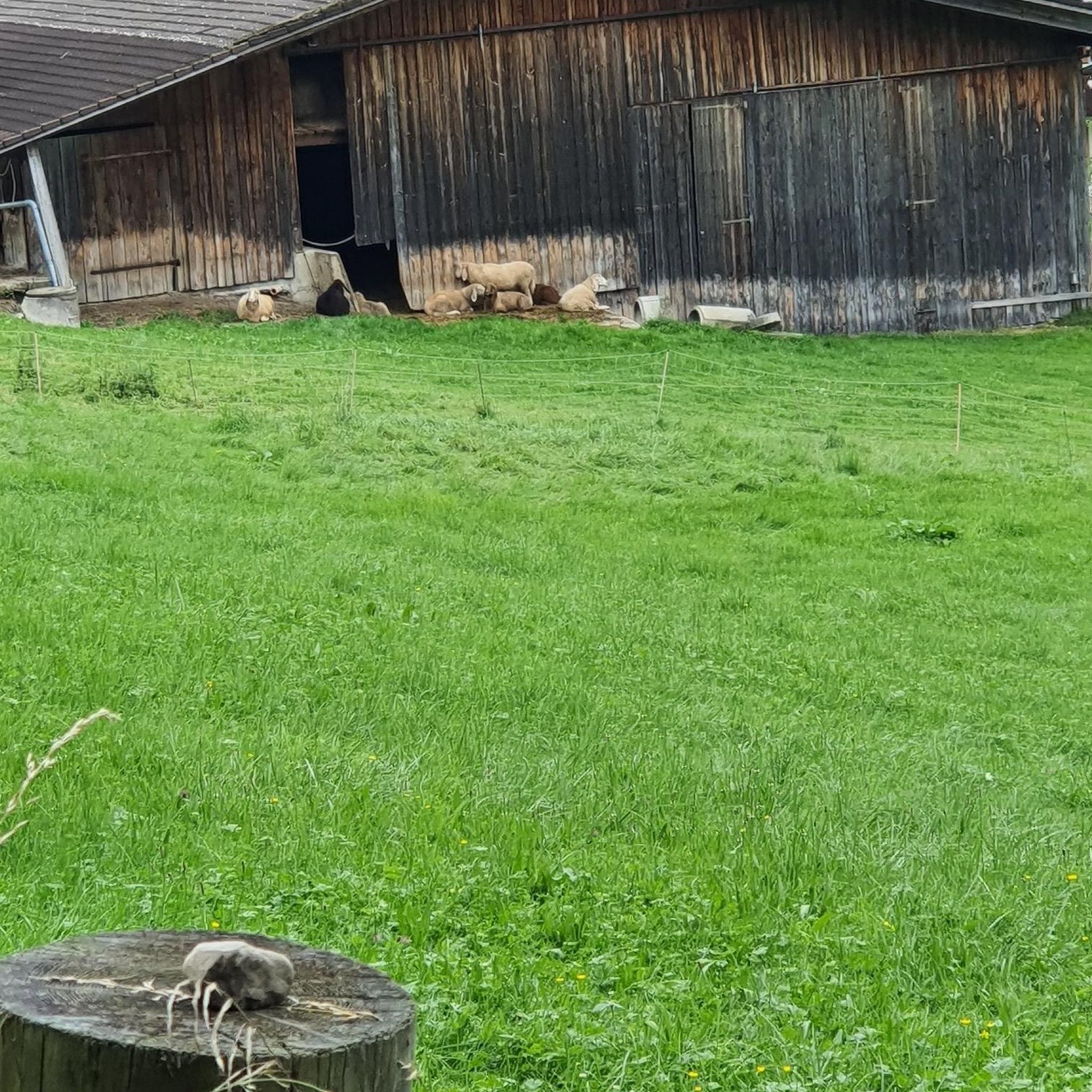
Hikes from bus stations in Estuario Del Río Guadiaro
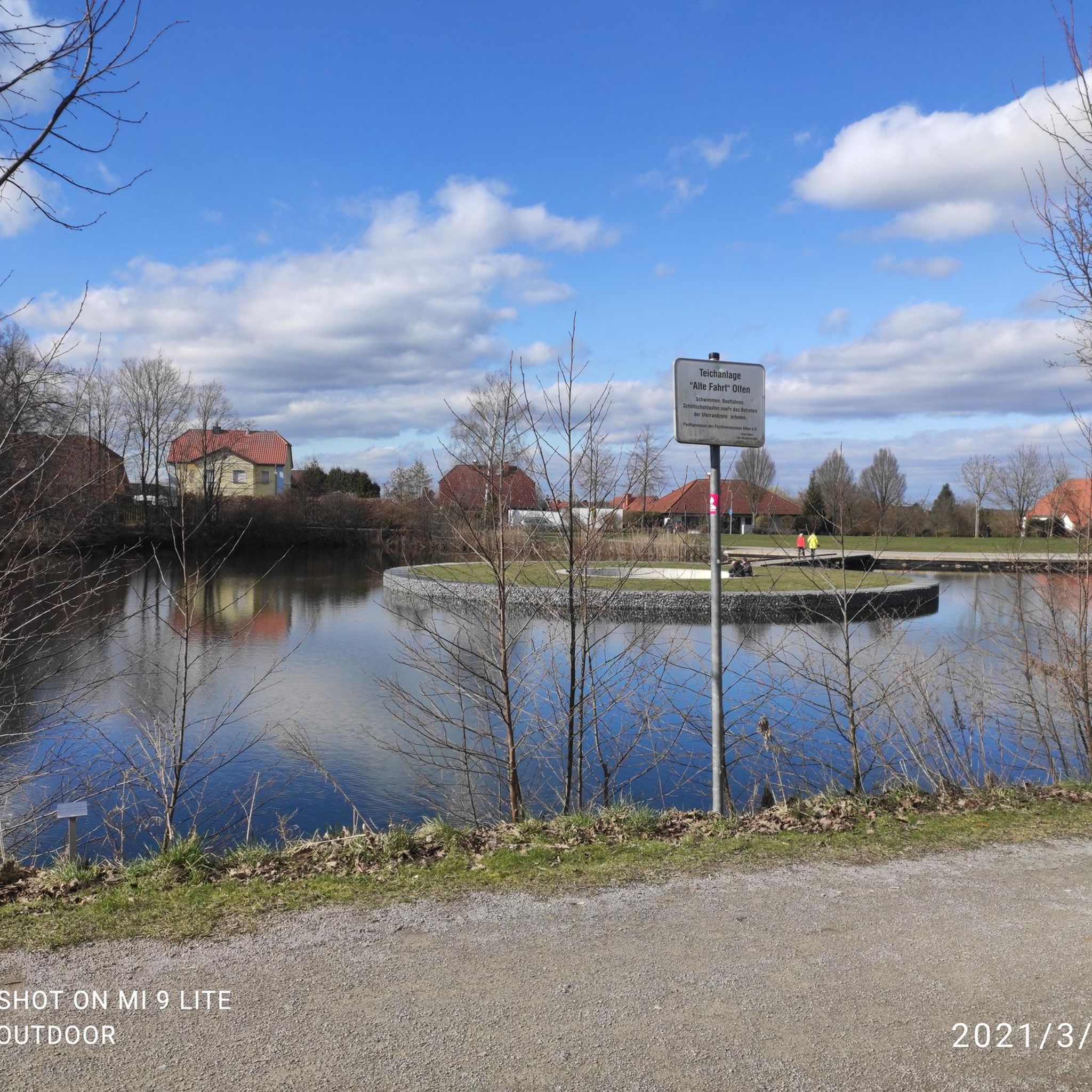
Hikes from bus stations in Marismas Del Río Palmones

Hikes from bus stations around Ríos Guadiaro Y Hozgarganta
Hikes from bus stations around Embalse de Charco Redondo

Andalusia without limits – Tarifa to La Puebla de Don Fabrique on the GR 7
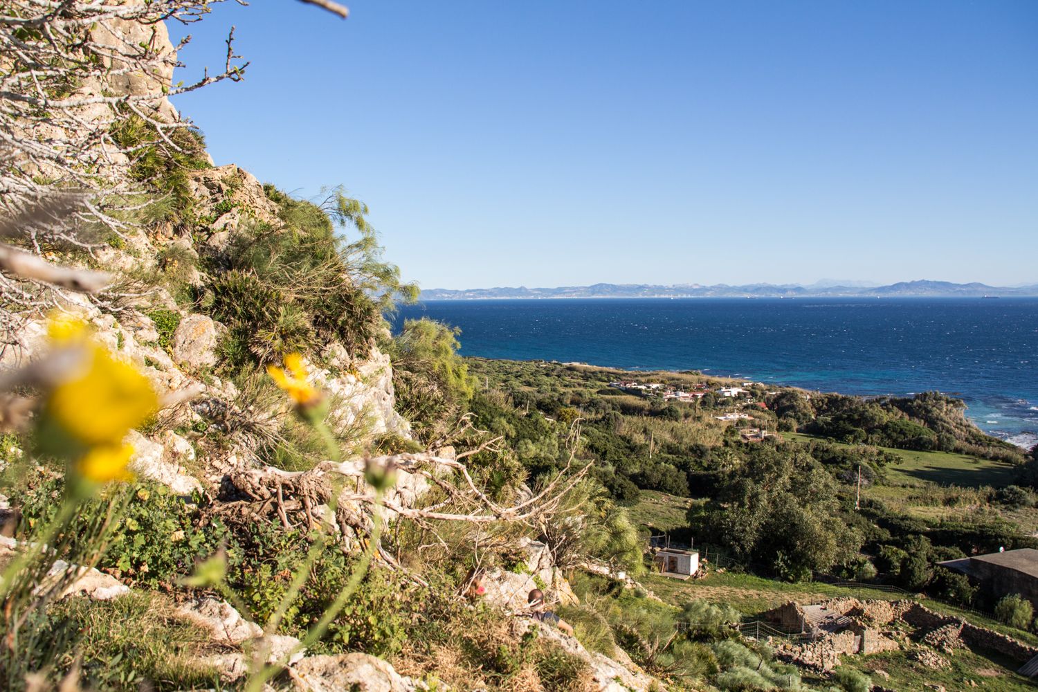
Tarifa – Andalusian landscapes between two oceans
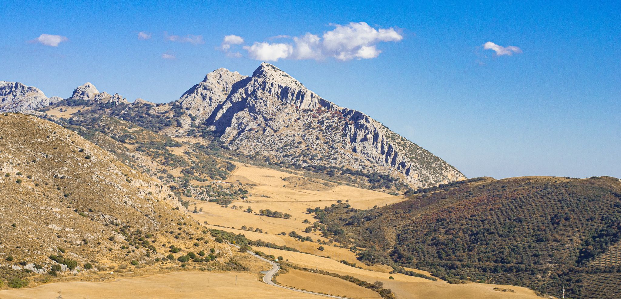
The beauty of the Andalusian mountains – Transandalus southern section

Explore the Betic Mountains on two wheels – Altravesur
Other adventures around Campo De Gibraltar


Tips from the Community

Very nice "dead end", after which you can return to the ruins of the mill and continue right up into the mountains
0
0
It gets even prettier at the Arroyo de la Miel – simply turn left behind the ruins of the old mill. Then back to the ruins and up to the right, then you'll gain a few more meters of elevation. After a left turn, you'll have a beautiful, unobstructed view of the Rock of Gibraltar.
0
0
The entrance to the Sendero del Rio de la Miel trail is initially rather sobering. The "path," although unpaved, is several meters wide, and the gnarled cork oak forest is mostly fenced in. Don't turn back too quickly, because at the stone bridge over the Rio de la Miel, everything changes. The path becomes rockier and noticeably narrower. Just below the bridge, there are several small waterfalls. Things get even better at the Arroyo de la Miel – just turn left behind the ruins of the old mill.
0
0

The writing on the wall has since been painted over in white. Access to the dune and the dune itself are located in a military restricted area. However, the area here is not fenced and access to the dune and further to the beach is possible without any problems. There is only a sign indicating that access may be restricted at any time.
0
0
A wooden walkway leads to this viewpoint from the southeast. It begins at Playa de Bolonia, near the Baelo Claudia archaeological site, and is approximately 430 meters long. If you want to continue through the restricted military area uphill to the road or the dune, you have to climb over the railing. The restricted area is not fenced here, but there are signs indicating that the passage may be closed at any time.
0
0

Magnificent but sometimes difficult passage between the thorns. Trousers recommended
0
0

Very beautiful
0
0

An impressive walk with exquisite views....
1
0
Frequently Asked Questions
How many bus station accessible hiking trails are there in Campo de Gibraltar?
There are nearly 150 hiking trails in Campo de Gibraltar that are accessible from bus stations. These routes offer a wide range of experiences, from easy strolls to more challenging treks, making it convenient to explore the region's diverse landscapes using public transport.
What kind of landscapes can I expect on bus-accessible hikes in Campo de Gibraltar?
The region offers incredibly diverse landscapes. You can experience the unique meeting point of the Atlantic Ocean and Mediterranean Sea, explore vast cork oak forests in Parque Natural Los Alcornocales, or enjoy coastal paths with views of the African coast. Trails often feature a mix of woodlands, rugged coastlines, and elevated viewpoints.
Are there any easy, family-friendly hikes accessible by bus in Campo de Gibraltar?
Yes, there are many easy routes suitable for families. For instance, the View of Playa de Valdevaqueros – Scenic viewpoint loop from Torre de la Peña offers an easy experience with beautiful coastal views. The region has nearly 50 easy trails, many of which are accessible via public transport, making it simple to find a suitable option for all ages.
Can I find circular hiking routes from bus stations in Campo de Gibraltar?
Absolutely. Many trails in Campo de Gibraltar are designed as circular routes, allowing you to start and end your hike at the same point, often conveniently located near a bus stop. An example is the Betijuelo – Punta Paloma Beach loop from Camping Paloma, which provides a moderate circular experience.
What natural features or landmarks can I see on these bus-accessible trails?
The trails often lead to stunning natural features and historical landmarks. You could visit the Punta de Tarifa – southernmost point of continental Europe, witness the Meeting Point of the Atlantic Ocean and Mediterranean Sea, or explore the impressive Bolonia Dune. Many routes also pass by reservoirs like the Charco Redondo Reservoir, offering picturesque views.
Are there any historical sites or points of interest along the bus station hiking routes?
Yes, Campo de Gibraltar is rich in history. Many trails incorporate historical elements. For example, the Bridge over the Río de la Miel – Molino del Águila Ruins loop from Acueducto de El Cobre takes you past an old stone bridge and ruins. The region also features charming villages with medieval castles, often accessible or visible from hiking paths.
What is the best time of year to go hiking from bus stations in Campo de Gibraltar?
The best time to hike in Campo de Gibraltar is generally during the spring (March to May) and autumn (September to November). During these seasons, the weather is milder and more pleasant for walking. Summers can be very hot, especially inland, while winters are generally mild but can bring more rain.
Are there any dog-friendly trails accessible by bus in Campo de Gibraltar?
Many trails in Campo de Gibraltar are dog-friendly, especially those outside protected nature reserves where specific restrictions might apply. It's always recommended to check local regulations for specific parks or trails, but generally, the region welcomes hikers with their canine companions. Ensure your dog is on a leash and you carry waste bags.
What do other hikers enjoy most about hiking in Campo de Gibraltar?
The hiking experiences in Campo de Gibraltar are highly rated by the komoot community, with an average score of around 4.5 stars from over 2,200 ratings. Hikers often praise the region's stunning coastal views, the unique blend of Atlantic and Mediterranean scenery, and the diverse natural environments, from cork oak forests to rugged cliffs.
Are there any trails that offer views of the African coast?
Yes, the Estrecho Natural Park, which is accessible by bus, offers breathtaking views of the African coast due to its strategic location on the Strait of Gibraltar. Many coastal trails, particularly those around Tarifa, provide clear vistas across the strait on a clear day.
Are there any permits required for hiking in natural parks like Los Alcornocales?
While many trails in Parque Natural Los Alcornocales are freely accessible, some specific routes or activities, especially those involving sensitive areas or large groups, may require a permit. It's advisable to check with the park's official visitor center or website before your visit, particularly if you plan to explore less-trafficked areas.
Can I find trails that lead to lighthouses or coastal viewpoints?
Yes, the coastal nature of Campo de Gibraltar means many trails offer stunning sea views and lead to significant coastal landmarks. The Gravel route – Camarinal Lighthouse loop from Baelo Claudia is an excellent example, providing a moderate hike to a lighthouse with panoramic ocean vistas.
Most popular routes around Campo De Gibraltar
Most popular attractions around Campo De Gibraltar

Get inspired with the komoot mobile app


Didn’t find what you were looking for?
Check out more Hikes throughout Campo De Gibraltar below and find the perfect route in your destination.
Explore more
Browse the best Hikes in other regions.
