The best hikes from bus stations around Vegas
4.5
(254)
2,072
hikers
107
hikes
Bus station hiking trails around Vegas offer access to diverse landscapes ranging from arid desert to cooler alpine environments. The region is characterized by vibrant red sandstone formations, deep canyons, and expansive desert flora. Areas like Red Rock Canyon and Valley of Fire feature unique geological structures and ancient rock art. Higher elevations, such as Mount Charleston, provide a contrast with pine forests and cooler temperatures.
Best bus station hiking trails around Vegas
- The most popular bus station hiking route is Barranco de Picote – circular from Titulcia via the Jarama river, a 3.1 miles (5.0 km) trail that takes 1 hour 21 minutes to complete. This easy route features gentle elevation changes.
- Another top favourite among local hikers is Ambita and the Vía Verde de Tajuña — round trip, a moderate 6.6 miles (10.7 km) path. This route includes a mix of terrain with moderate elevation gain.
- Local hikers also love the Chinchón, Laguna de San Juan, and Sima de Peñaquemada Loop, a 13.3 miles (21.5 km) trail leading through varied landscapes, often completed in about 5 hours 49 minutes.
- Hiking around Vegas is defined by red rock canyons, desert washes, and mountain trails, offering options for different ability levels. The network includes 34 easy, 69 moderate, and 3 difficult routes.
- The routes in Vegas are highly rated by the komoot community with an average score of 4.5 stars from over 230 reviews. More than 2000 hikers have used komoot to explore Vegas's varied terrain.
Last updated: July 7, 2026
4.7
(6)
35
hikers
5.01km
01:21
60m
60m
Easy hike. Great for any fitness level. Easily-accessible paths. Suitable for all skill levels.
2
hikers
21.5km
05:49
300m
290m
Hard hike. Very good fitness required. Easily-accessible paths. Suitable for all skill levels.

Sign up for free
4
hikers
10.7km
02:55
150m
150m
Moderate hike. Good fitness required. Easily-accessible paths. Suitable for all skill levels.
4.6
(10)
50
hikers
9.13km
02:19
20m
20m
Moderate hike. Good fitness required. Easily-accessible paths. Suitable for all skill levels.
4.0
(1)
21
hikers
15.7km
04:37
300m
300m
Moderate hike. Good fitness required. Mostly accessible paths. Sure-footedness required.
Get access to more routes and recommendations from other explorers.
Sign up for free
Already have an account?
Our route recommendations are based on thousands of hikes, rides, and runs completed by other people on komoot.
Start today with a free account
Your next adventure awaits.
Login or Signup
Popular around Vegas
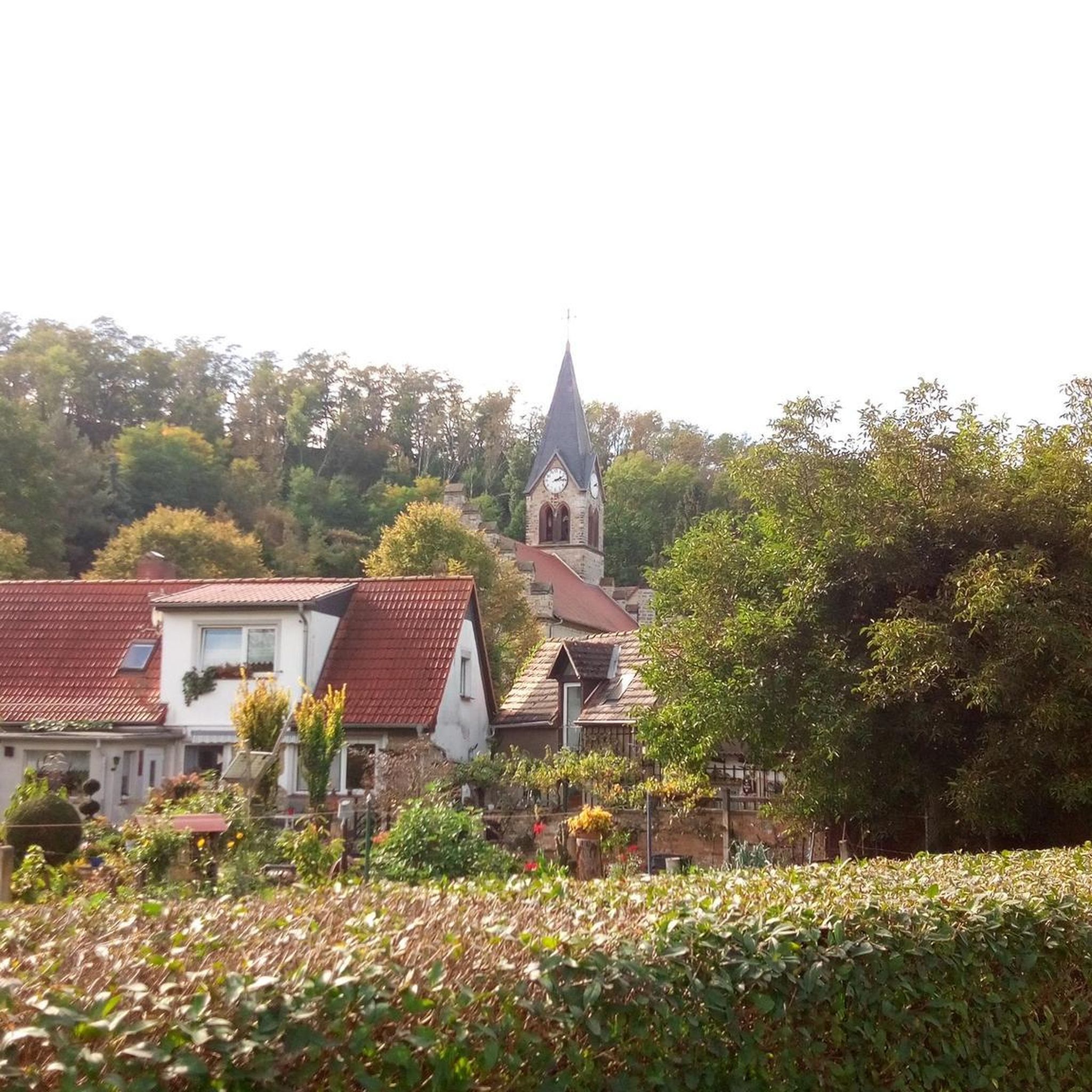
Hikes from bus stations in Ejes De Los Cursos Bajos De Los Ríos Manzanares Y Jarama

Albarracín to Toledo – Eastern Tagus Nature Trail
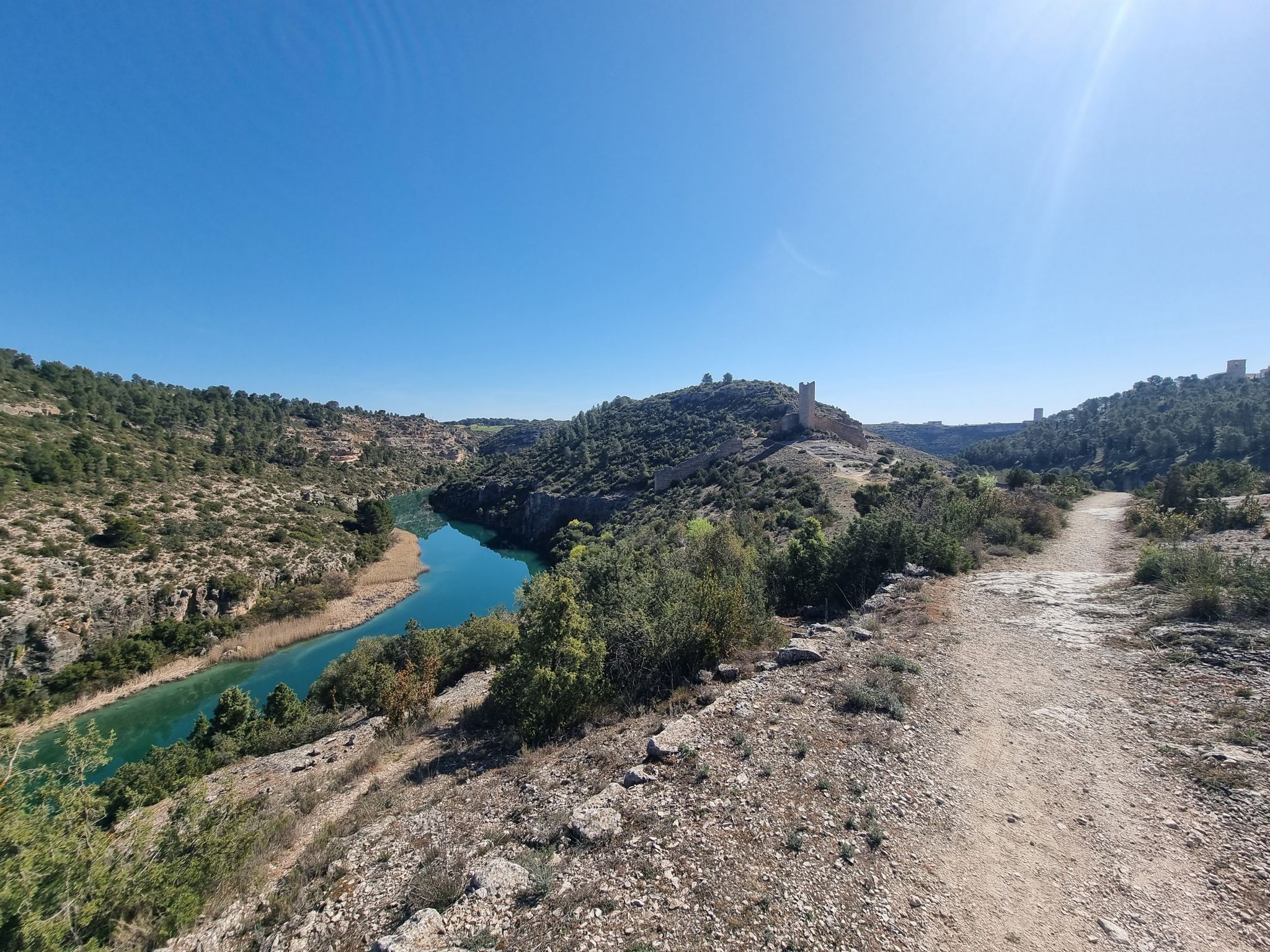
A gravel bike adventure between Madrid and Valencia
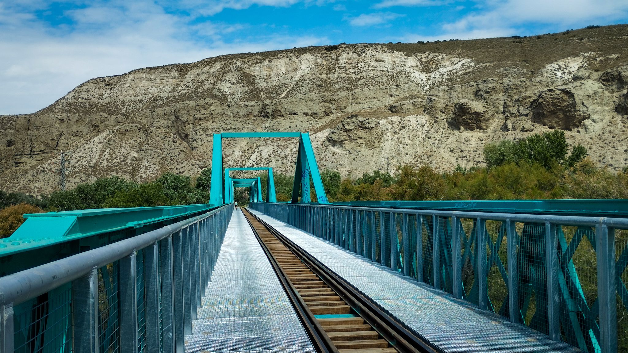
A family ride through Las Vegas de Madrid in Spain – Tajuña Greenway
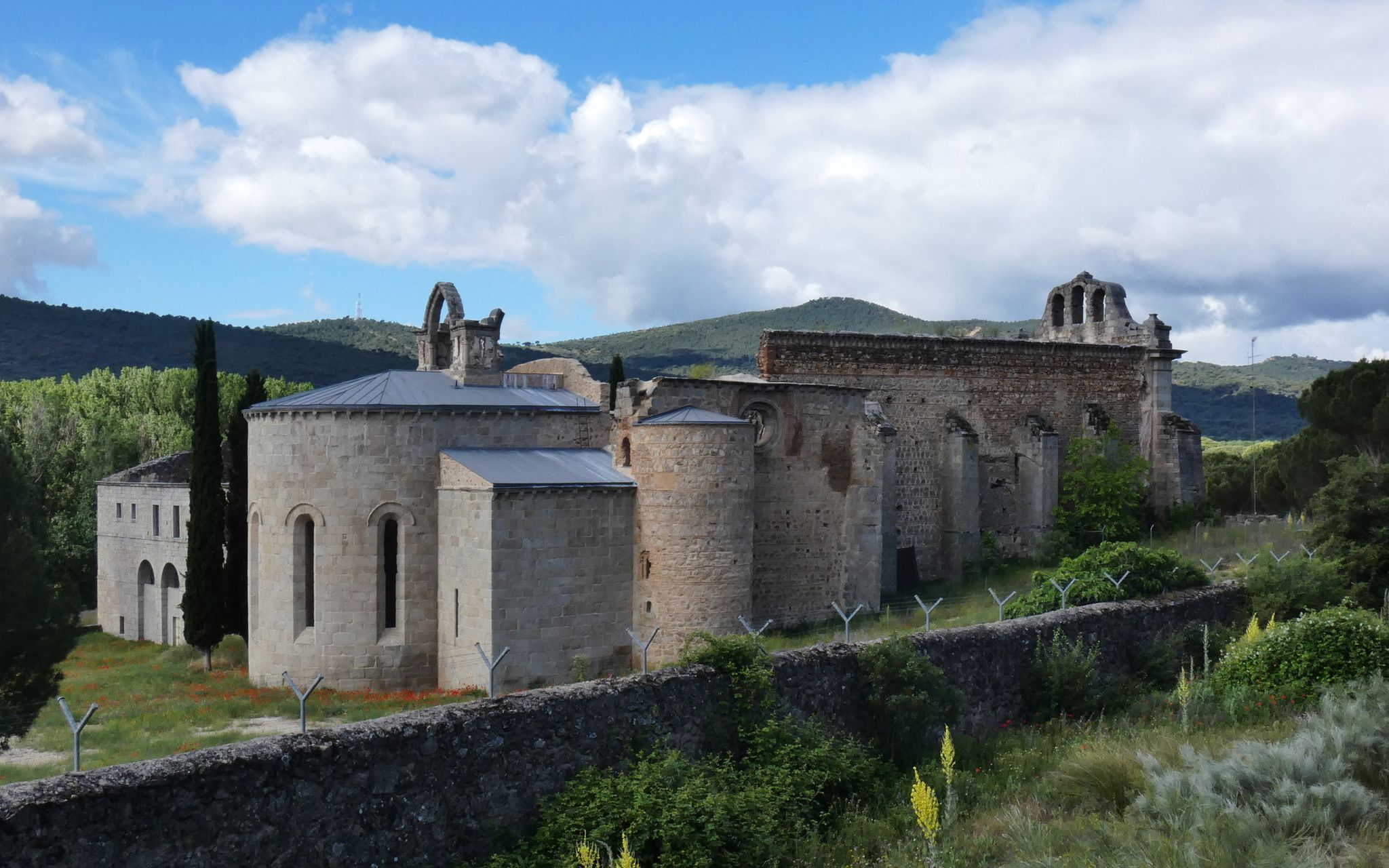
Madrid’s mediaeval castles and hidden gems by gravel bike
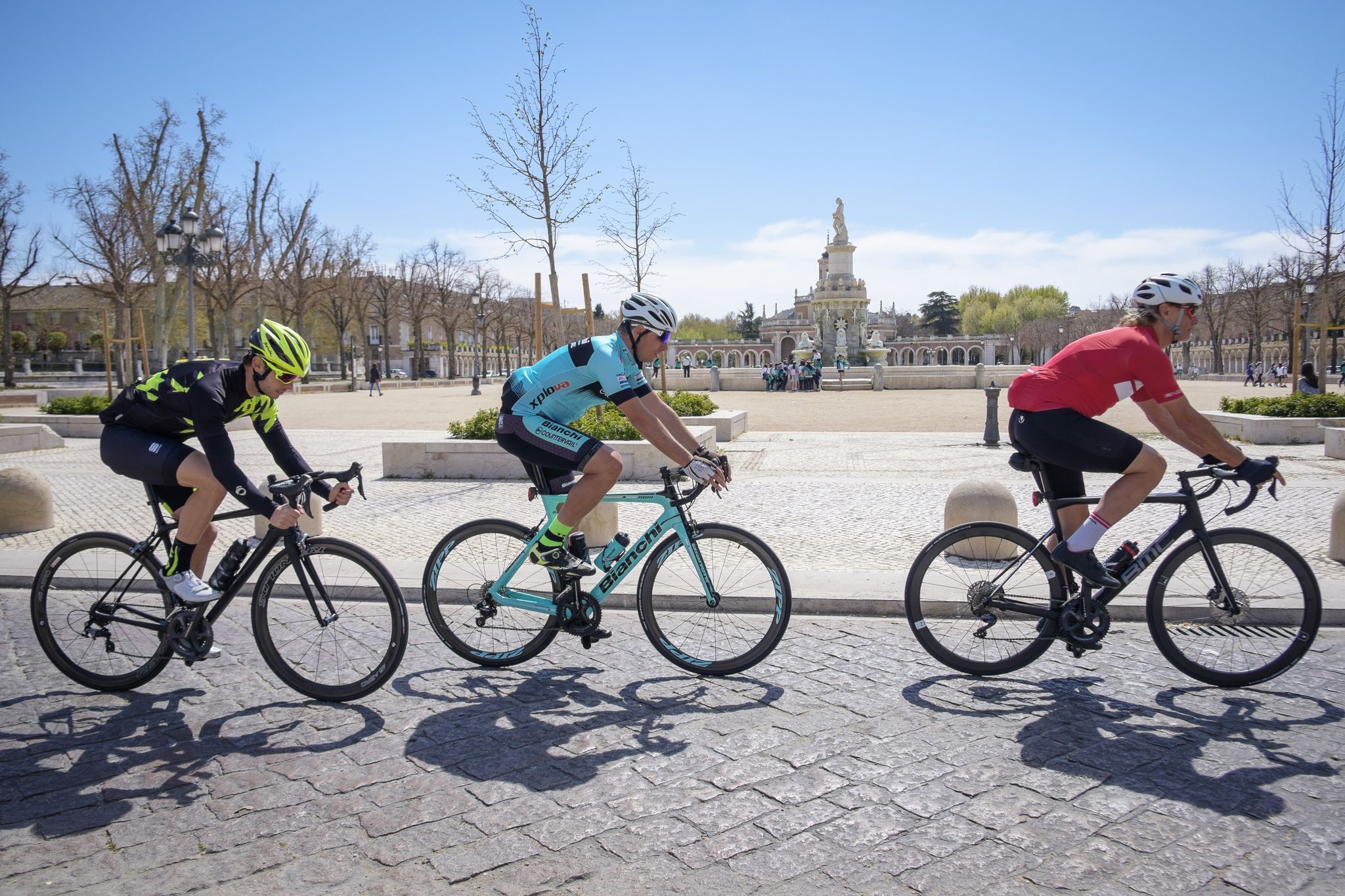
Ports, countryside and rivers – Tour of Madrid by road bike
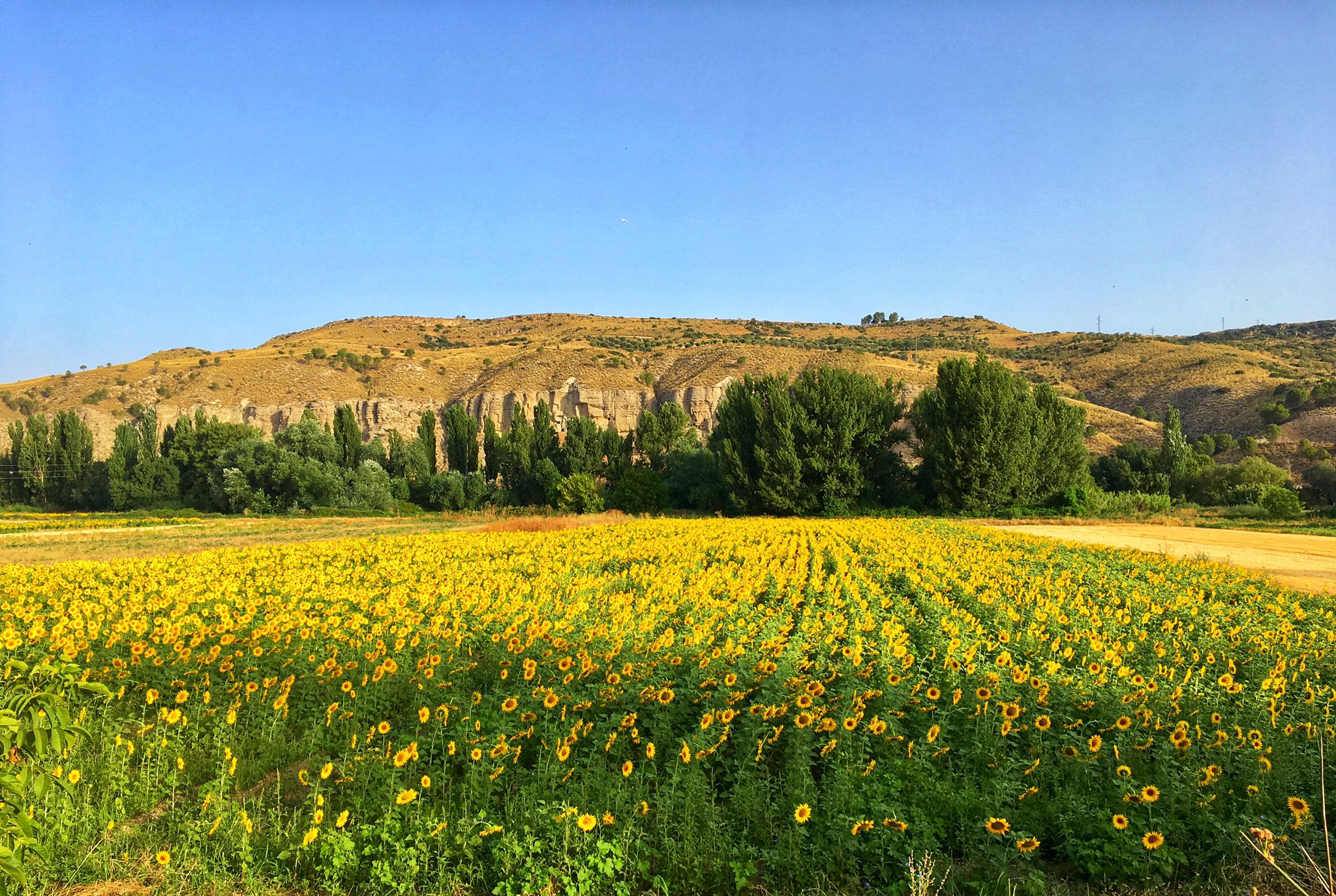
Palaces, rivers and fields — Las Vegas de Madrid gravel tour
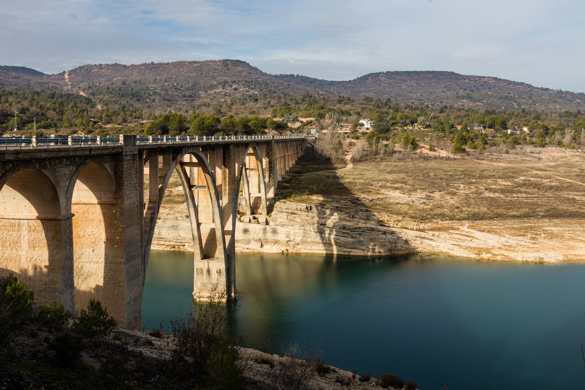
A journey on the Iberian Peninsula – Tagus Nature Trail
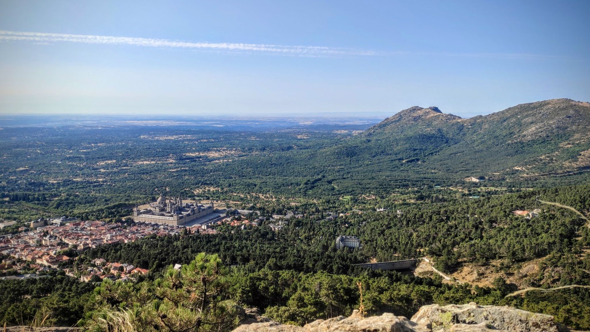
Sierras, countryside, reservoirs and history – Tour of Madrid gravel
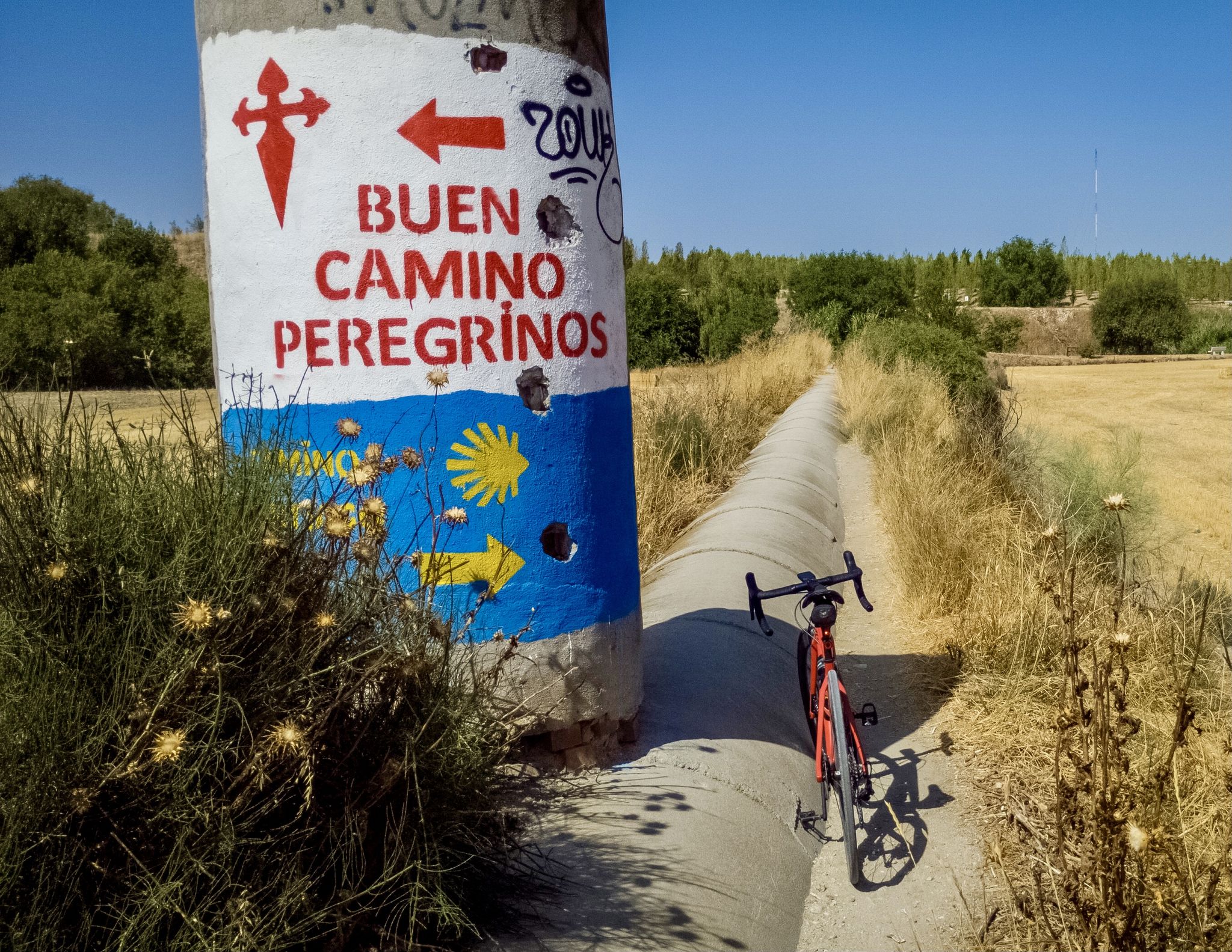
Cycle in the footsteps of the Order of Saint James — Uclés Way in Spain
Other adventures around Vegas


Tips from the Community

The beautiful Fuente del Arca (Ark Fountain) is one of the historic springs of the Tajuña Valley. It lies along the Cordel de las Merinas, a notable drove road used during the transhumance era, and for centuries it was one of the main sources of drinking water for the town of Ambite. The basin itself is a small water garden, nestled in a pleasant setting of poplars, fig trees, willows, elms, and plants associated with springs, such as the maidenhair fern, a fern unique to the region.
0
0


Several pleasant breakfast bars, a good option for bikers or cyclists, and the old iron bridge over the Jarama is beautiful...
0
0

Aljezar comes from the Arabic word "al jez", which means gypsum hill, gypsum quarry or territory where gypsum mineral is abundant. In botany, the complex and select ecosystem concentrated in the gypsum hills or gypsum cliffs that appear associated with the slopes and moors of the Miocene near the river plains is known as gypsum scrub or aljezar. The slopes of the Jarama are lands with little evolved soils, little capacity to retain water and steep slopes exposed to erosion. The landscapes of the Regional Park of the Southeast are characterized by showing a rich and varied geological diversity in short distances, converting the environment of the protected area into a suggestive selection of dynamic and changing natural scenarios.
0
0
The vegetation that adorns the steep earthy slopes of the Jarama valley is an exhibition of ingenious botanical adaptations to survive in the aljezares characteristic of the vegas of the southeast of Madrid. The esparto grass plants form large clumps of long, smooth leaves with a very dense and closed stem that conserves moisture inside. The austere jabuna has a woody appearance, the stems are very thin and do not exhibit striking colours that require a high consumption of energy, except during the flowering period. Another common plant in the cuts is the ontina or artemisia, used in popular medicine as an anti-diabetic, vermifuge and tonic, it develops thorns and discreet colours to avoid excessive transpiration. One of the most striking plants is the mignonette, which produces long and twisted stems. There are also thymes, rosemary scales and Syrian rue, which defend themselves from the xerophilous environment with a reduced leaf surface and scaly leaves.
0
0
The Romans were at a strategic crossroads. The main axis of the old pastoral and commercial routes in the southeast of Madrid was the Cordel de la Galiana, a route designed centuries ago by the Romans to connect the pastures of the plateaus of the Central System with the Mediterranean, probably used by Hannibal to return to Cartagena after the Salamanca campaign in 217 BC. The terraced distribution of the streets on the slope of a hill, formerly known as Cerro de Venus and currently Cerrón, has the appearance of an ancient medieval village, there are even remains in the town of a fortress linked to the Templars. The only remains of the old town of Titulcia that are preserved are part of the parish church and several balconied facades in the Plaza Mayor, the rest were destroyed in the Civil War. The current whitewashed and shiny houses were rebuilt in later years and offer a fairly uniform and modern appearance. In the 19th century the place was called Bayona de Tajuña, derived from the Basque word ibay ona (place next to a good river), from the times of repopulation by people from the north, but it was changed to Titulcia by royal decree of Ferdinand VII, in 1815, who spent the summer in Aranjuez and did not want to hear the name of the city where he had been imprisoned for six years, the French Bayonne.
0
0

A small town near Madrid that is worth visiting to stroll through its streets and enjoy its typical cuisine. Its main attraction is its Plaza Mayor, an example of the architecture of Castilian porticoed squares - with 234 balconies - and where most of the restaurants are concentrated. But it is worth strolling through its streets, going up to see the Church of Nuestra Señora de la Asunción, where we can see Goya's painting "The Assumption of the Virgin". In addition, in front of the church there is a viewing point from which there are excellent views of the Plaza Mayor and the entire town. There is also the Clock Tower and the Lope de Vega Theatre, all just a few metres away. Other places of interest are the Parador de Chinchón, a former Augustinian convent; the Castle of the Counts of Chinchón, the Casa de la Cadena, the hermitages of San Antón and San Roque.
0
0
The Arca spring is a historic spring in Ambite, located in the Arca ravine next to the Cordel de las Merinas. The structure of the fountain has been restored and with the benches and the shade of the trees it creates a welcoming space.
0
0
Frequently Asked Questions
How many bus station hiking trails are available around Vegas?
There are over 100 bus-accessible hiking trails around Vegas featured in this guide. This includes a wide variety of routes suitable for different skill levels and preferences.
What do other hikers enjoy most about bus-accessible trails in Vegas?
The komoot community highly rates these trails, with an average score of 4.5 stars. Reviewers often praise the accessibility to diverse landscapes like desert canyons and unique geological formations, even without a car, and the opportunity to explore the region's natural beauty.
What is the best time of year for bus-accessible hiking around Vegas?
The cooler months from October to May are ideal for hiking around Vegas. During summer, temperatures can be extreme, especially in exposed desert areas like Valley of Fire. Mount Charleston offers a cooler alpine escape during the hotter months, but bus access might be limited or seasonal. Always check local weather forecasts before heading out.
What should I wear for bus-accessible hikes in Vegas?
Layered clothing is recommended, as desert temperatures can fluctuate significantly. Sturdy hiking shoes, a hat, sunglasses, and sun protection are essential. Always carry plenty of water, especially on longer routes, as shade and water sources can be scarce.
Are there easy bus-accessible hikes for beginners?
Yes, this guide features 34 easy bus-accessible routes perfect for beginners. An example is the Barranco de Picote – circular from Titulcia via the Jarama river, which offers a gentle introduction to the area's natural beauty.
Are there any longer or more challenging bus-accessible routes?
For those seeking a challenge, there are 3 difficult bus-accessible routes available. The Chinchón, Laguna de San Juan, and Sima de Peñaquemada Loop is a demanding option, covering over 21 km with significant elevation changes, offering a rewarding experience for experienced hikers.
Can I find circular bus-accessible routes?
Yes, many of the bus-accessible trails are designed as circular routes, allowing you to start and end at the same point, often conveniently near a bus stop. The Titulcia Main Square – Views of the Jarama loop from Titulcia is a great example of a moderate circular hike.
What natural attractions can I see on bus-accessible hikes?
Many bus-accessible routes lead to stunning natural features. You can explore areas with unique geological formations like those found in Red Rock Canyon or Valley of Fire (though direct bus access to these specific parks might require additional planning). Some routes might pass by beautiful lakes such as Laguna Seca de las Esteras or the Chinescos Pond.
Are there historical sites or cultural landmarks accessible via bus routes?
Yes, some bus-accessible routes offer a glimpse into the region's history and culture. For instance, you might find trails near settlements like Chinchón, or even historical sites like the Royal Palace of Aranjuez, which can be reached via public transport and then explored on foot.
Are there family-friendly bus-accessible hikes?
Absolutely. Many of the easier routes are suitable for families. Look for trails with shorter distances and minimal elevation gain. The Barranco de Picote – circular from Titulcia via the Jarama river is an easy option that families can enjoy.
Are there dog-friendly bus-accessible hikes?
While many trails in the Vegas area are dog-friendly, it's crucial to check specific park regulations for areas like Red Rock Canyon or Valley of Fire, as rules can vary. Always keep your dog on a leash and ensure they have plenty of water, especially in the desert heat. Many general trails outside protected areas are typically suitable for dogs.
Can I find trails with good views accessible by bus?
Yes, the Vegas region is known for its spectacular desert and mountain vistas. Many bus-accessible trails offer panoramic views of the unique landscapes, from the vibrant red rocks to the distant mountains. Routes near the Jarama River, such as Titulcia Main Square – Views of the Jarama loop from Titulcia, provide scenic overlooks.
Most popular routes around Vegas
Most popular attractions around Vegas

Get inspired with the komoot mobile app


Didn’t find what you were looking for?
Check out more Hikes throughout Vegas below and find the perfect route in your destination.
Explore more
Browse the best Hikes in other regions.
