The best hikes from bus stations around Val D'Aran
4.6
(4363)
43,648
hikers
124
hikes
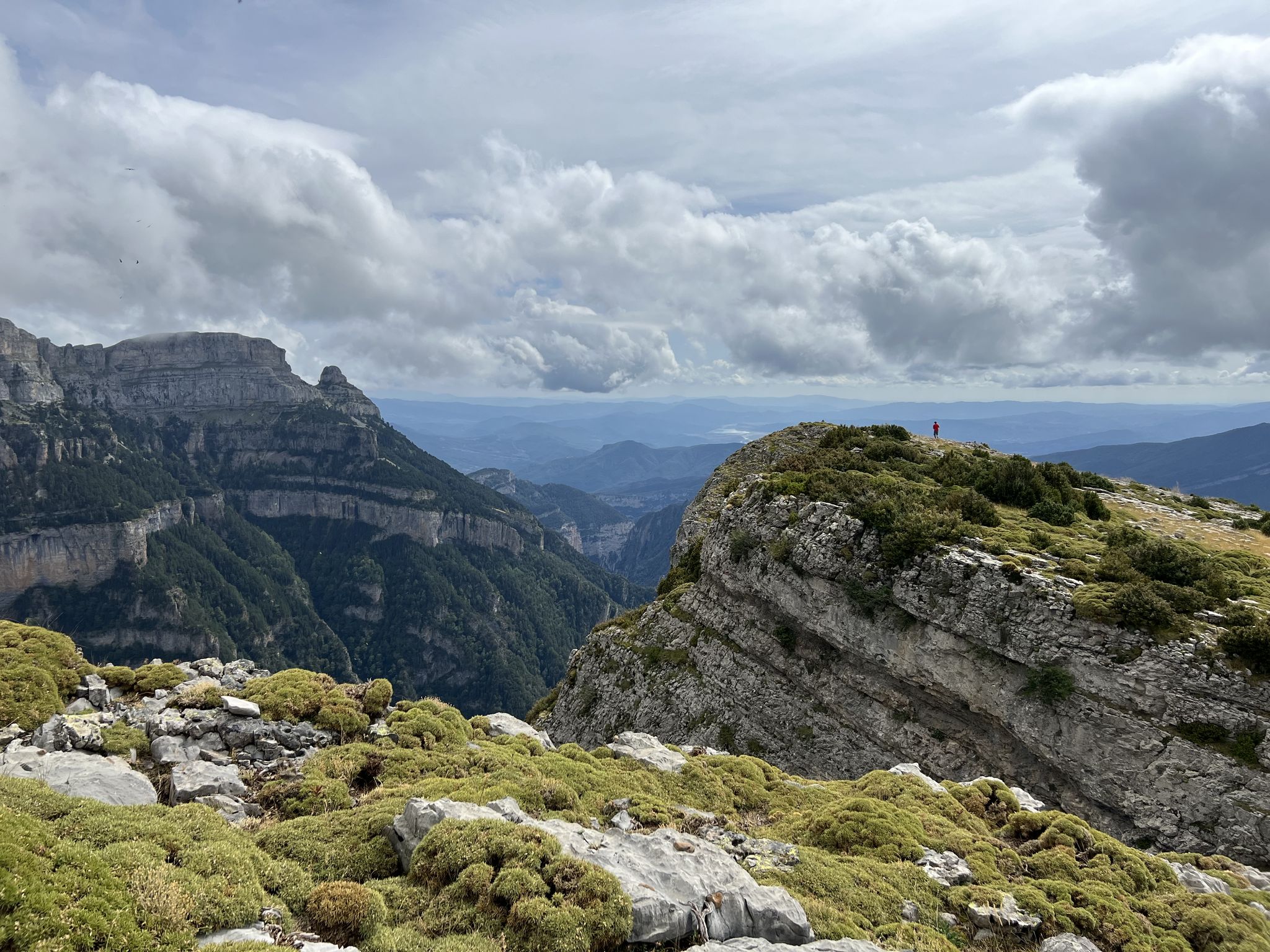
Bus station hiking trails around Val D'Aran offer access to a high-mountain region within the central Pyrenees, characterized by diverse natural features. The terrain includes extensive glacial formations, such as the Colomers glacial cirque with its numerous lakes, and majestic peaks like Montarto and Tuc de Molières. Hikers can explore lush forests of pine, fir, and beech, wander through alpine meadows, and encounter spectacular waterfalls like Saut deth Pish and Uelhs deth Joeu. The Garonne River flows through the region, contributing to its rich biodiversity and defining many valley routes.
Best bus station hiking trails around Val D'Aran
- The most popular bus station hiking route is Besiberri Gorge Bridge – Besiberri Lake loop from Noguera Ribagorçana, a 4.6 miles (7.5 km) trail that takes 3 hours 25 minutes to complete, leading through a glacial landscape to a high-altitude lake.
- Another top favourite among local hikers is Lake Redon – Pletiu dera Escaleta loop from Noguera Ribagorçana, a difficult 9.3 miles (15.0 km) path. This route features significant elevation gain and expansive mountain views across the Pyrenees.
- Local hikers also love the South entrance of the Vielha Tunnel – Molières Waterfall loop from Noguera Ribagorçana, a 5.0 miles (8.0 km) trail leading through forested valleys to the Molières Waterfall, often completed in about 2 hours 30 minutes.
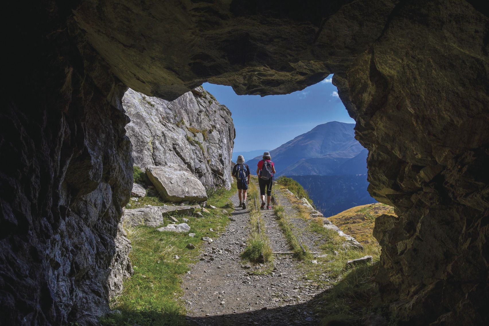
- Hiking around Val D'Aran is defined by glacial cirques, high-mountain terrain, lush forests, and impressive waterfalls. The network offers options for various ability levels, from leisurely walks to challenging ascents.
- The routes in Val D'Aran are highly rated by the komoot community with an average score of 4.6 stars from more than 3,900 reviews. More than 39,000 hikers have used komoot to explore Val D'Aran's varied terrain.
Last updated: July 7, 2026
4.8
(11)
139
hikers
15.3km
07:02
1,020m
1,020m
Hard hike. Very good fitness required. Sure-footedness, sturdy shoes and alpine experience required.
4.5
(11)
56
hikers
4.51km
01:19
120m
120m
Easy hike. Great for any fitness level. Easily-accessible paths. Suitable for all skill levels.

Sign up for free
3.8
(9)
78
hikers
Moderate hike. Good fitness required. Mostly accessible paths. Sure-footedness required.
4.8
(20)
77
hikers
7.15km
01:59
130m
130m
Easy hike. Great for any fitness level. Easily-accessible paths. Suitable for all skill levels.
4.7
(6)
57
hikers
11.5km
04:55
680m
680m
Moderate hike. Good fitness required. Mostly accessible paths. Sure-footedness required.
Get access to more routes and recommendations from other explorers.
Sign up for free
Already have an account?
Our route recommendations are based on thousands of hikes, rides, and runs completed by other people on komoot.
Start today with a free account
Your next adventure awaits.
Login or Signup
Popular around Val D'Aran

Hikes from bus stations around Lac d'Arrius

Hikes from bus stations around Lac Redon

Hikes from bus stations around Lac de Mar

Hikes from bus stations around Lac Tòrt d'Arrius

Hikes from bus stations around Estanh Major de Colomèrs

Hikes from bus stations around Lac de Montoliu

Panoramic Pyrenees – 15 hikers' peaks of over 3,000 metres

Haute Route Pyrénéenne – Pyrenees Crossing
Summit conquests and idyllic mountain lakes – Spanish Pyrenees
Six spectacular circular tours to discover Catalonia
Other adventures around Val D'Aran


Tips from the Community

In fact, for the Aranese of the Val d'Aran, the real source, the Uelh dera Garona (eye of the Garonne), is located in the pastures of Plã de Béret, near the Baqueira Beret ski resort, therefore after Viehla BUT according to Norbert Casteret (search for the source with dyes in the 1930s), the main source is located to the east of the Maladeta massif, in Aragon, from the northern and eastern snowfields of the Aneto peak, whose water rushes into the Forau d'Aigualluts or Toro hole (altitude: 2,074 m), to change valleys by a resurgence at the Uelhs de Joeu (Eyes of the Jew) (at 1,658 m). It is at Plan dera Artiga de Lin (at the bottom of the small, almost uninhabited valley starting after the village of Es Bordes (instead of continuing on Viehla, leave the road on the right at Es Bordes to enter this small valley at the bottom of which is the resurgence)
1
0
I have no idea what the shelter will be like, but they wanted to charge me 50 euros for 1 night, which is completely unacceptable for a SHELTER. Unacceptable price.
0
0

One of the capitals of this small territory and which is also useful if needed, to make a technical stop at the same time as gaining strength.
0
0

Also known as the Hospice de Vielha, this mountain refuge is a short walk from the southern exit of the Vielha tunnel in Spain.
0
0

The waterfall and the setting is dreamlike.
0
0

The waterfall of the path of the witches is a magical corner in any season of the year. Better to enjoy it in times that do not allow bathing because it is usually crowded. The best time at sunset, the tranquility is fantastic. Witches and legends site that will captivate you.
1
0

Small Aranese town located in Upper Aran. It is located at 1348 meters of altitude and has 107 lucky inhabitants. A beautiful route for the whole family begins from Tredós, Camino de Las Brujas.
1
0
As we pass through the small town of Tredòs, we cannot miss this beautiful waterfall, within the itinerary of the path of the witches and in the middle of the town.
1
0
Frequently Asked Questions
How many hiking trails are accessible from bus stations in Val D'Aran?
Val D'Aran offers over 100 hiking routes that are conveniently accessible from various bus stations. These trails cater to a wide range of preferences, from leisurely strolls to more challenging mountain ascents.
What kind of terrain can I expect on bus-accessible hikes in Val D'Aran?
The bus-accessible trails in Val D'Aran traverse a diverse landscape. You'll find routes winding through lush forests of pine, fir, and beech, across picturesque alpine meadows, and alongside glacial cirques and lakes. The region's high-mountain character means some trails will involve significant elevation changes, offering stunning panoramic views.
Are there easy or beginner-friendly hikes accessible by bus in Val D'Aran?
Yes, Val D'Aran has plenty of easy and beginner-friendly options accessible by bus. Approximately one-third of the routes in this guide are rated as easy. For example, the Garonne River – Nere River loop from Vilac is a moderate route that offers a gentle introduction to the valley's beauty.
What are the best times of year for hiking from bus stations in Val D'Aran?
The best time for hiking in Val D'Aran is generally from late spring to early autumn (May to October). During these months, the weather is more stable, trails are clear of snow, and the alpine flora is in full bloom. Summer offers the warmest temperatures, while autumn brings spectacular fall colors to the forests. Some lower-altitude trails may be accessible in winter, but require appropriate gear and caution due to snow and ice.
Are there any family-friendly hiking trails accessible by bus in Val D'Aran?
Absolutely! Many trails are suitable for families. The region is known for accessible natural attractions like the Artiga de Lin Valley and the Saut deth Pish waterfall, which offer shorter, less strenuous walks. Look for routes marked as 'easy' in this guide for the most family-friendly options.
Can I bring my dog on bus-accessible hiking trails in Val D'Aran?
Generally, dogs are welcome on many hiking trails in Val D'Aran, but it's crucial to keep them on a leash, especially in areas with livestock or wildlife. Always check local regulations for specific trails or protected areas, as rules can vary. Ensure your dog is well-behaved and that you carry waste bags to clean up after them.
Are there any circular hiking routes accessible from bus stations?
Yes, many of the bus-accessible routes in Val D'Aran are circular, allowing you to start and end your hike at the same point, often near a bus stop. For instance, the Besiberri Gorge Bridge – Besiberri Lake loop from Noguera Ribagorçana is a moderate circular trail that offers stunning lake views.
What natural features or landmarks can I see on these bus-accessible trails?
Val D'Aran's bus-accessible trails lead to a wealth of natural wonders. You can discover glacial lakes like Lake Major of Colomers, impressive waterfalls such as Saut deth Pish, and vast meadows in areas like Artiga de Lin Valley. The region is also dotted with charming villages and Romanesque churches, adding cultural interest to your hike.
What do other hikers enjoy most about hiking from bus stations in Val D'Aran?
The komoot community highly rates hiking in Val D'Aran, with an average score of 4.6 stars. Reviewers often praise the region's stunning and varied natural landscapes, the accessibility of trails via public transport, and the sense of tranquility found amidst the Pyrenean peaks and valleys. The well-maintained paths and clear signage are also frequently highlighted.
Are there cafes or pubs near the bus-accessible trailheads in Val D'Aran?
Many of the bus-accessible trailheads are located in or near the charming villages of Val D'Aran. These villages often have local cafes, restaurants, or pubs where you can enjoy a meal or a refreshing drink before or after your hike. For example, trails starting from Vielha or Les will have amenities readily available.
Do I need any special permits for hiking in Val D'Aran?
For most general hiking trails in Val D'Aran, you do not need special permits. However, if you plan to enter specific protected areas or nature reserves, especially for activities like overnight stays in refuges, it's always wise to check with local park authorities for any specific requirements or regulations. Always respect local signage and environmental guidelines.
Most popular routes around Val D'Aran
Most popular attractions around Val D'Aran

Get inspired with the komoot mobile app


Didn’t find what you were looking for?
Check out more Hikes throughout Val D'Aran below and find the perfect route in your destination.
Explore more
Browse the best Hikes in other regions.
