The best hikes from bus stations around Arlanza
4.4
(103)
674
hikers
11
hikes
Bus station hiking trails around Arlanza offer access to a landscape characterized by river paths, forested areas, and rolling hills. The region provides a variety of moderate trails suitable for exploring its natural features. Hikers can expect routes that traverse diverse terrain, including sections alongside the Arlanza River and through local woodlands. The area's topography generally features moderate elevation changes, making it accessible for a range of hiking abilities.
Best bus station hiking trails around Arlanza
- The most popular bus…
Last updated: May 10, 2026
5.0
(1)
6
hikers
12.4km
03:19
130m
130m
Moderate hike. Good fitness required. Easily-accessible paths. Suitable for all skill levels.
1
hikers
11.9km
03:37
400m
400m
Moderate hike. Good fitness required. Mostly accessible paths. Sure-footedness required.

Sign up for free
3.0
(1)
3
hikers
17.4km
04:34
140m
140m
Moderate hike. Good fitness required. Mostly accessible paths. Sure-footedness required.
5.0
(1)
2
hikers
9.87km
02:42
150m
150m
Moderate hike. Good fitness required. Mostly accessible paths. Sure-footedness required.
1
hikers
Moderate hike. Good fitness required. Easily-accessible paths. Suitable for all skill levels.
Get access to more routes and recommendations from other explorers.
Sign up for free
Already have an account?
Our route recommendations are based on thousands of hikes, rides, and runs completed by other people on komoot.
Start today with a free account
Your next adventure awaits.
Login or Signup
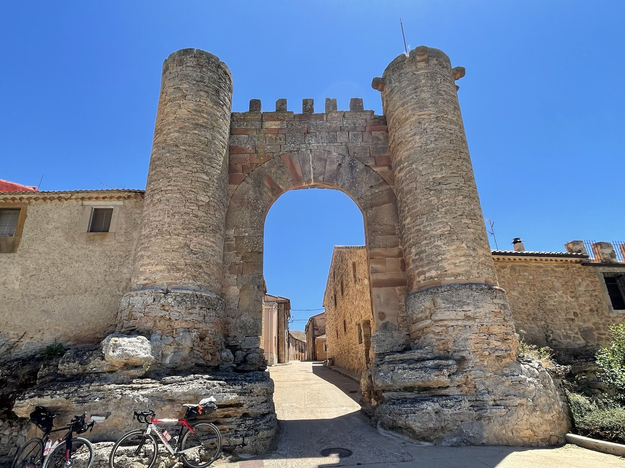
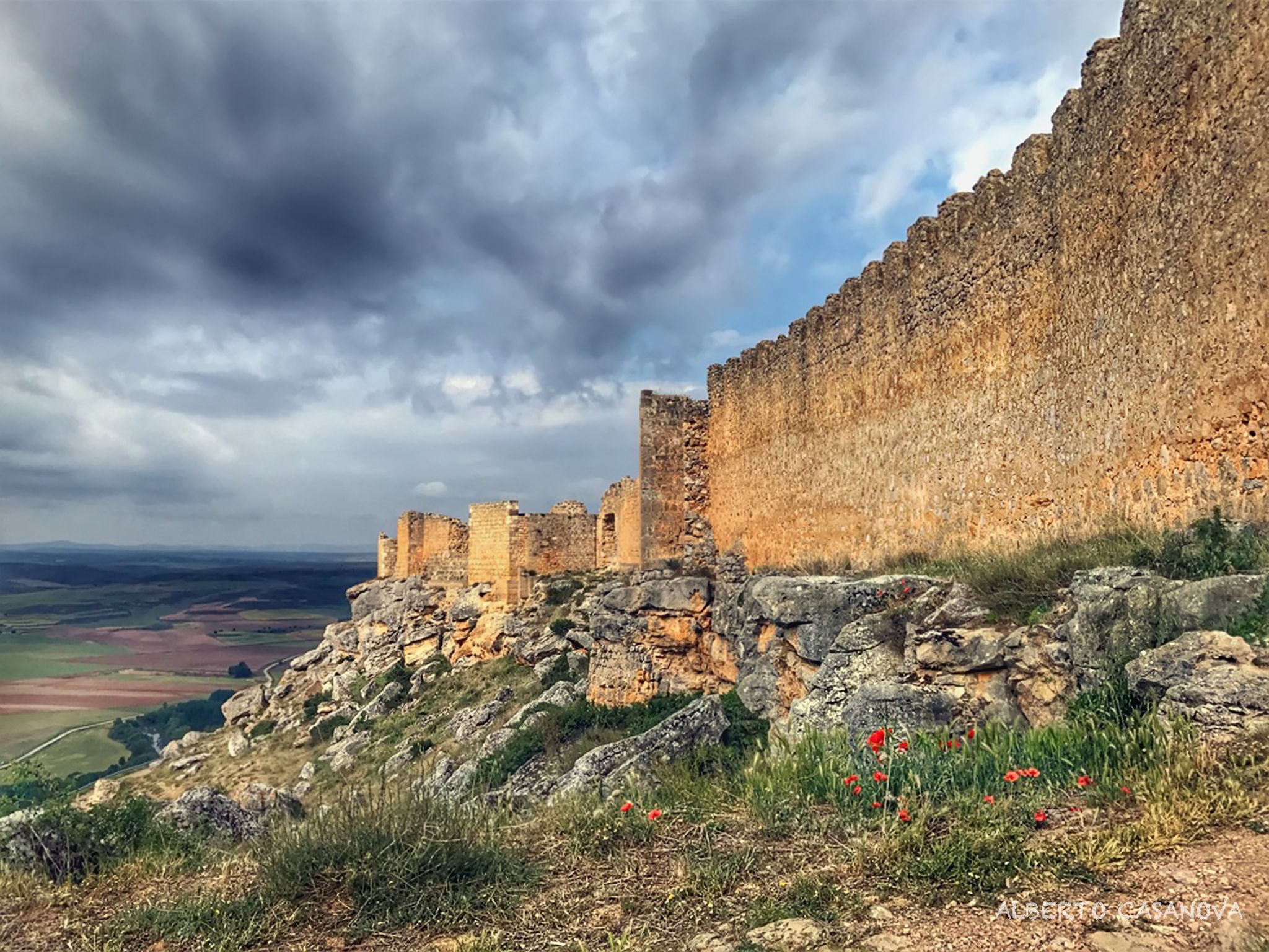
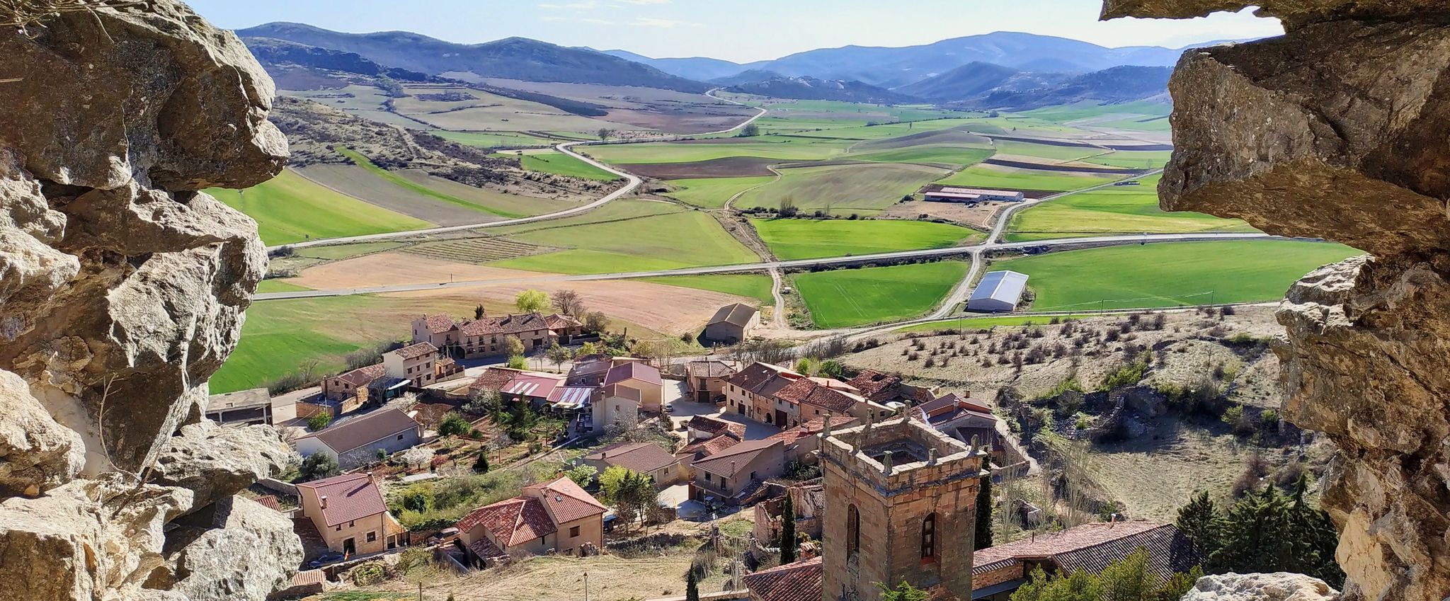


Tips from the Community

A spectacular waterfall with dizzying walls
0
0

The small waterfall of El Churrión, which depending on the time of year can carry a lot of water or be completely dry. The walk is nice and easy. If you are lucky you will see deer in the area.
1
0
Small hermitage on the way to the Churrión chorrera. Near the hermitage there is a recreational area.
1
0

Beautiful Catholic church dating from the 18th century and baroque style inside. The beautiful main entrance with a semicircular arch and the tower with the bell tower stand out.
1
0

Small town in Burgos with less than 200 inhabitants in the region of La Ribera. The parish church of the Asunción de Nuestra Señora, dating from the 18th century, and the Hermitage of San Juan, from 1737, stand out.
1
0
Frequently Asked Questions
How many bus-accessible hiking trails are available in the Arlanza region?
There are over 10 hiking trails in the Arlanza region that are accessible from bus stations. These routes offer a convenient way to explore the area's diverse landscapes without needing a car.
What kind of terrain can I expect on bus-accessible hikes in Arlanza?
The Arlanza region, part of the broader Riverside County, features a diverse hiking landscape. You can expect prominent hills, oak woodlands, and river paths. Trails range from dirt paths to more rugged hillsides, offering varied experiences for hikers. For example, the Hortigüela, Enraizados Forest and San Cristóbal Loop takes you through forests and offers elevation changes.
Are there any circular hiking routes accessible by bus in Arlanza?
Yes, several circular routes are accessible by bus. These are great for returning to your starting point without retracing your steps. An example is the Río Arlanza y Villahoz — circular desde Tordómar, which offers a scenic loop experience.
Are these bus-accessible trails suitable for families?
While all the listed routes are classified as moderate, many can be enjoyed by families with some hiking experience. The region offers varied terrain, and some trails, like the Trail between Vaso and Espaldera (PRC-BU 27) — circular from Anguix, have more manageable elevation gains, making them potentially suitable for active families.
Can I bring my dog on these bus-accessible trails?
Many trails in the Arlanza region are dog-friendly, but it's always best to check local regulations for specific routes or parks before you go. Generally, dogs are welcome on leash in most wilderness areas. Ensure your dog is comfortable with moderate distances and varied terrain.
Are there any waterfalls or natural features to see on these trails?
Yes, the broader Arlanza area and Riverside County offer notable natural features. While not directly on every bus-accessible route, you can find highlights like the El Churrión Waterfall and the Mataviejas Gorge within the region. These natural monuments add to the scenic beauty of the area.
What are some interesting landmarks or historical sites near the bus-accessible trails?
The Arlanza region is rich in history and culture. You can explore landmarks such as the Casa de Doña Sancha, the Statue of El Cid in Mecerreyes, and the Historic Center of Covarrubias. These sites offer a glimpse into the area's heritage and are often accessible or near bus routes.
What is the best time of year to hike these bus-accessible trails in Arlanza?
The best time to hike in the Arlanza region, similar to Riverside County, is generally during the cooler months, from fall through spring (October to May). Summers can be very hot, making hiking less comfortable. Spring brings wildflowers, while fall offers pleasant temperatures and changing foliage.
What is the difficulty level of the bus-accessible hikes in Arlanza?
All the bus-accessible hikes featured in this guide are classified as moderate. This means they typically involve some elevation gain, varied terrain, and distances that require a reasonable level of fitness. For example, the Hermitages Trail (PRC-BU 120) is a moderate route covering over 12 km.
Where can I find information about bus schedules to reach these trailheads?
For current bus schedules and routes to reach trailheads in the Arlanza region, it's best to consult the local public transport authority's website. This will provide the most up-to-date information on services that connect to the various bus stations near the hiking trails.
Are there any viewpoints or scenic spots on these bus-accessible routes?
Many trails in the Arlanza region offer scenic views, often reaching elevated points. You can find highlights like Alto de Peña Alta (1078 m) and Alto de la Cabeza Summit, which provide panoramic vistas of the surrounding landscapes. The San Clemente Trail also offers varied scenery along its path.
What do other hikers say about the bus-accessible trails in Arlanza?
The bus-accessible trails in the Arlanza region are highly rated by the komoot community, with an average score of 4.4 stars from over 100 ratings. Reviewers often praise the quiet natural surroundings, well-maintained paths, and the convenience of reaching these beautiful areas by public transport.
Most popular routes around Arlanza
Most popular attractions around Arlanza

Get inspired with the komoot mobile app


Explore more
Browse the best Hikes in other regions.
