The best hikes from bus stations around Alcarria Baja
4.6
(159)
1,241
hikers
13
hikes
Bus station hiking trails around Alcarria Baja traverse a landscape characterized by a tabular relief of limestone and gypsum formations. Rivers like the Tajo have carved deep valleys and gorges, creating unique rock features and picturesque riverine environments. The region features holm oak woodlands, aromatic scrubland, and notable water features such as the Salto de Poveda waterfall and Laguna de Taravilla.
Best bus station hiking trails around Alcarria Baja
- The most popular bus station hiking route is Viana Trail,…
Last updated: July 7, 2026
5.0
(2)
23
hikers
12.5km
04:11
370m
370m
Hike the difficult 7.8-mile Tetas de Viana circular route from Trillo, gaining 1210 feet for panoramic views from La Redonda (1,144 m).
1
hikers
23.4km
06:40
530m
530m
Hike the difficult 14.6-mile Hundido de Armallones circular route in Alto Tajo Natural Park, gaining 1736 feet over 6 hours and 40 minutes.

Sign up for free
17
hikers
15.5km
05:03
440m
450m
Hard hike. Very good fitness required. Sure-footedness, sturdy shoes and alpine experience required.
5.0
(2)
9
hikers
8.80km
02:34
170m
170m
Moderate hike. Good fitness required. Mostly accessible paths. Sure-footedness required.
5.0
(1)
4
hikers
8.86km
02:23
120m
120m
Moderate hike. Good fitness required. Easily-accessible paths. Suitable for all skill levels.
Get access to more routes and recommendations from other explorers.
Sign up for free
Already have an account?
Our route recommendations are based on thousands of hikes, rides, and runs completed by other people on komoot.
Start today with a free account
Your next adventure awaits.
Login or Signup
Popular around Alcarria Baja
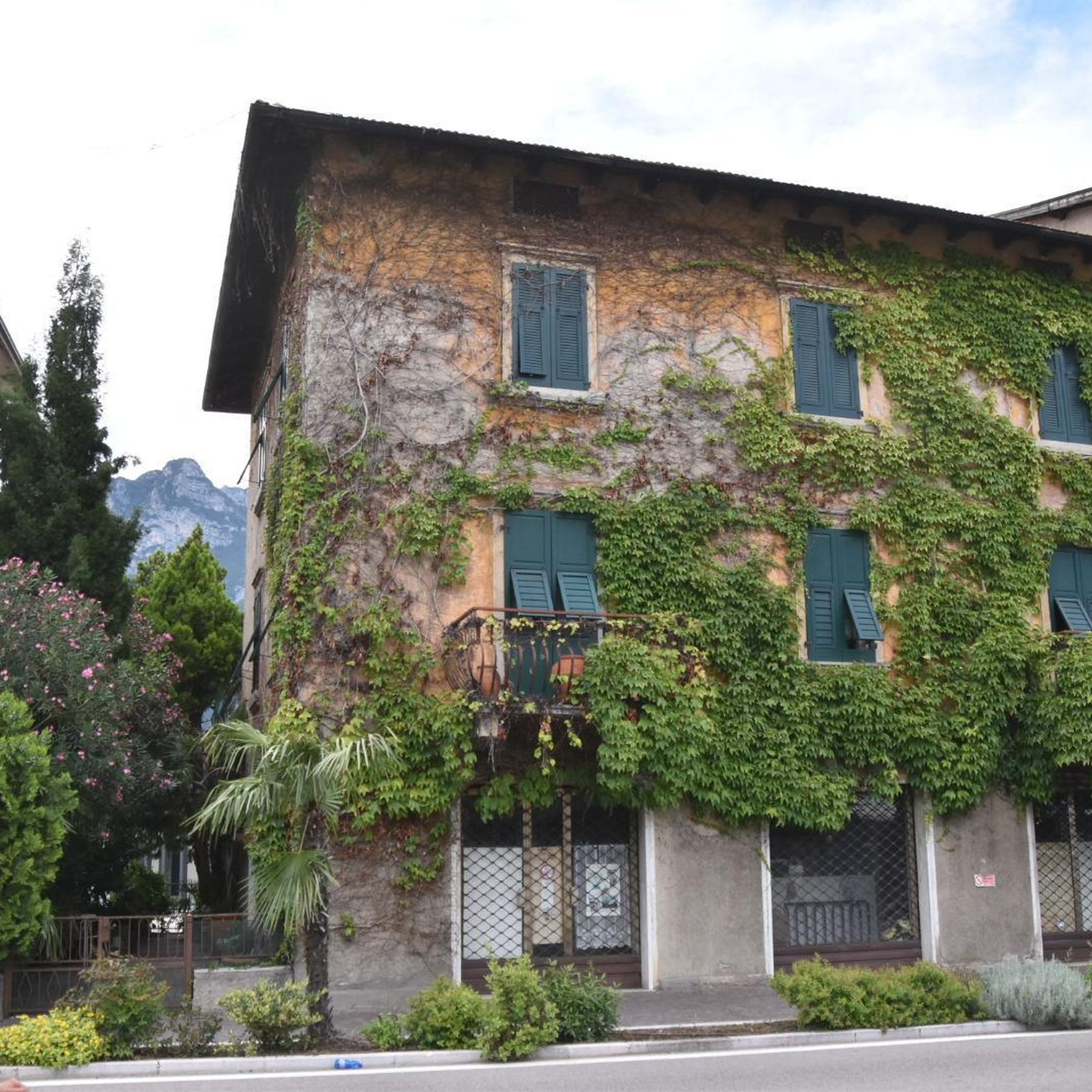
Hikes from bus stations around Embalse De Entrepeas
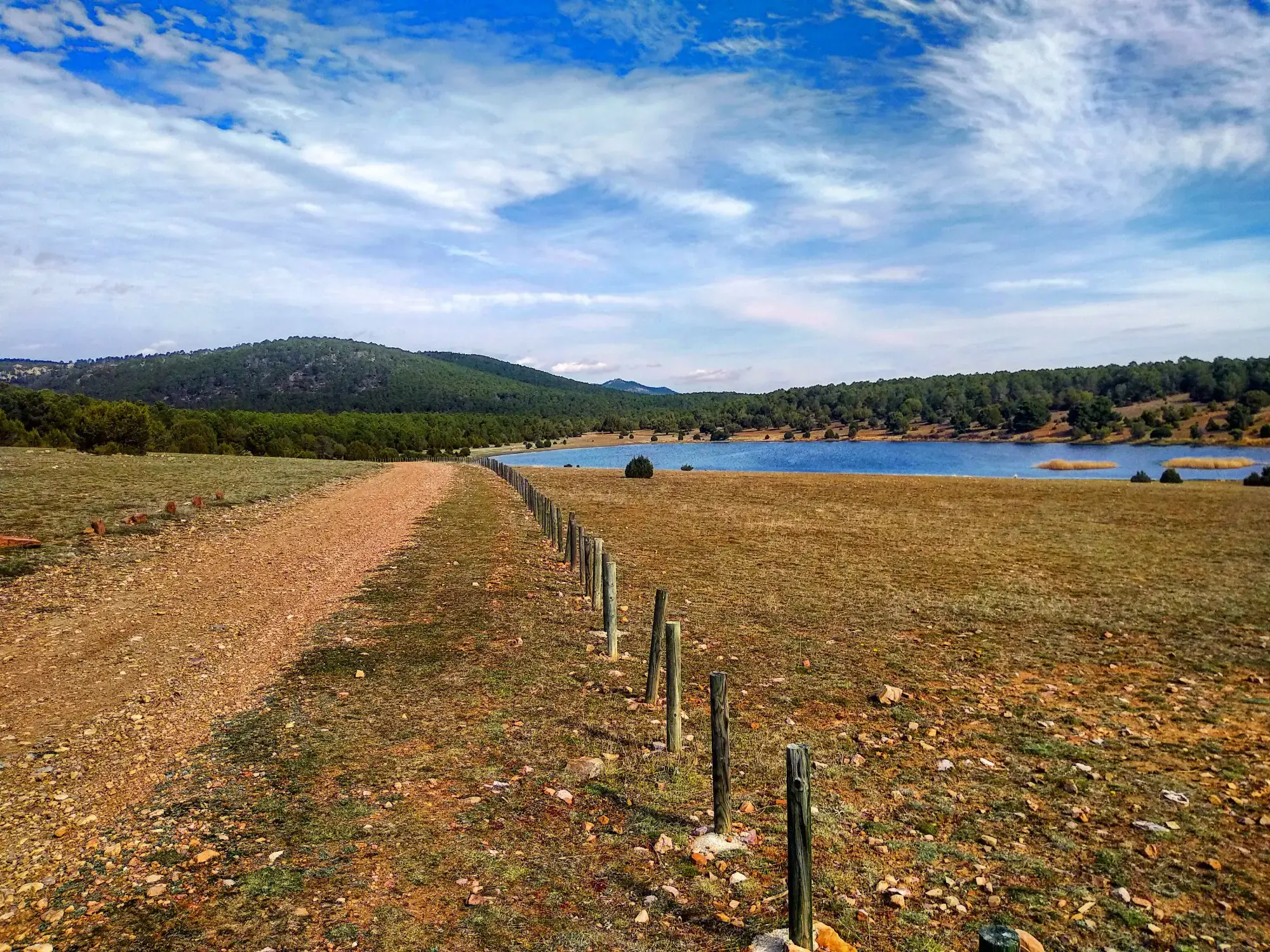
Sendero Español GR 10 — De este a oeste

Albarracín to Toledo – Eastern Tagus Nature Trail
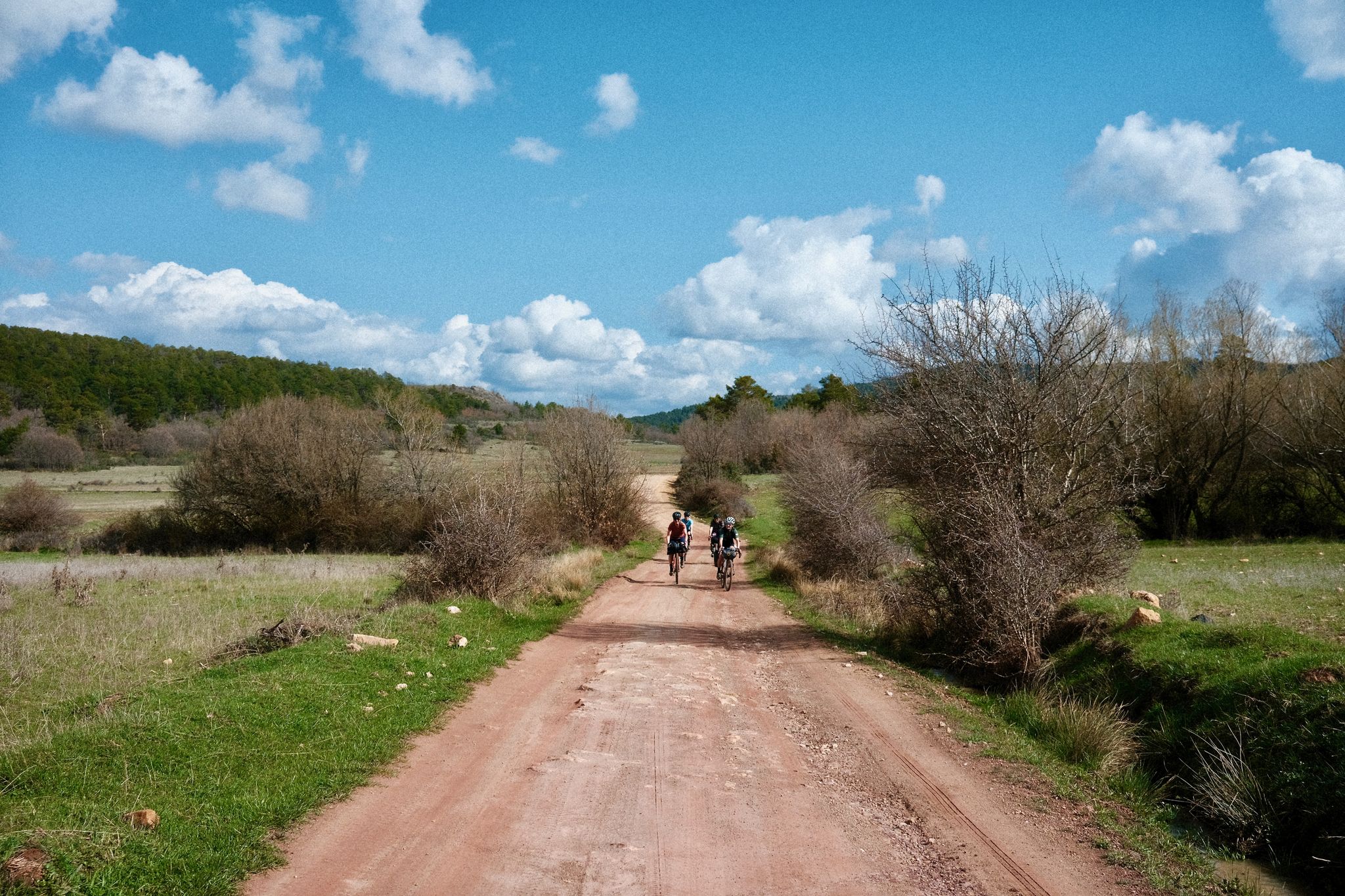
Women's Montañas Vacías 2022 — bikepack in rural Spain

MontañasVacías official — bikepacking across the Spanish Lapland
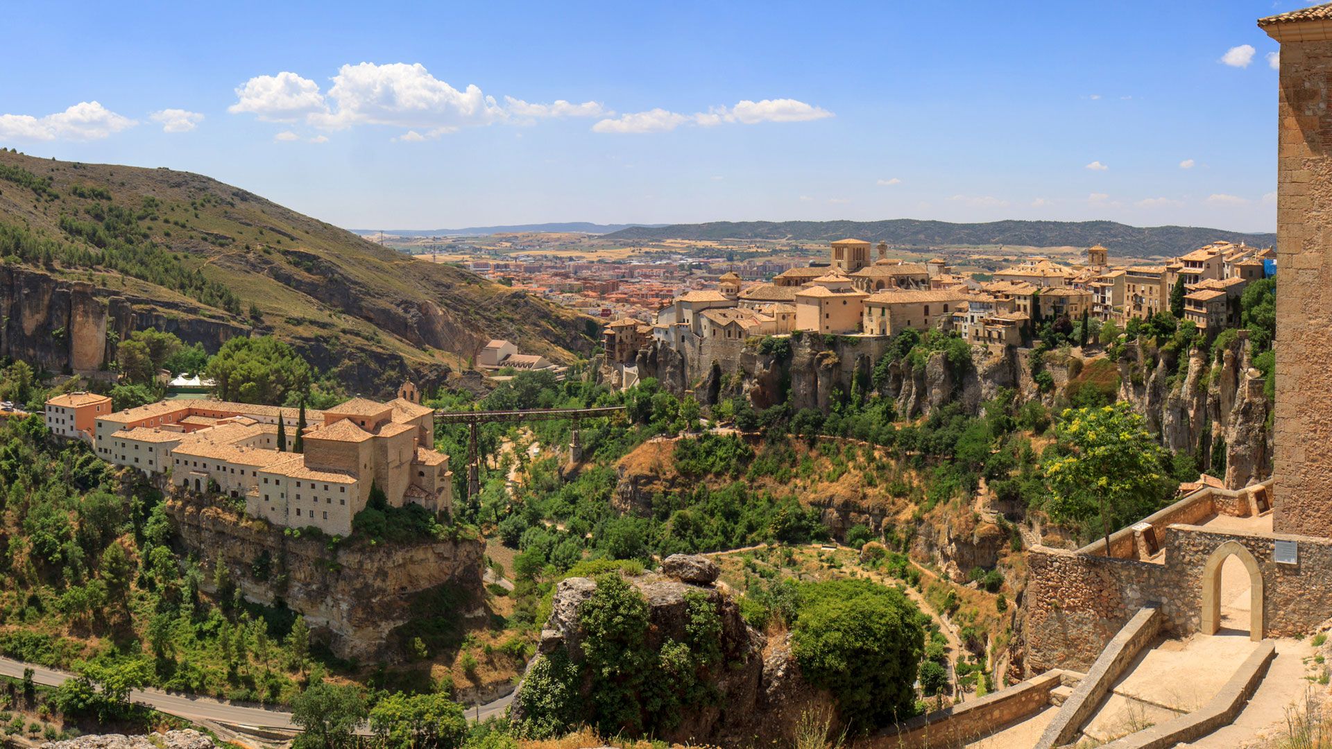
Levante to Castile – Ruta de la Lana Gravel Route
A journey on the Iberian Peninsula – Tagus Nature Trail
Other adventures around Alcarria Baja


Tips from the Community

A curious place where the collapse of the side cliffs, as a consequence of the Lisbon earthquake, closed the Tagus River for several days, interrupting the flow of water. Today, there are still a large number of huge rocks at the bottom of the Tagus. It is worth visiting.
0
0
An elevated place with splendid landscapes throughout its surroundings. It is worth visiting.
0
0

The entrance to the summit is spectacular, it is the geographical ceiling of the Alcarria and the views are magnificent, practically the entire Alcarria Alta, the Serranía de Guadalajara, the Sierra de Ayllón, the popular Ocejón and the Sierra de Guadarrama. And the towns of Viana de Mondéjar and La Puerta from a bird's eye view. The summit plain has a circular path around the summit that may be covered in grass, although it can be seen in the terrain. A good vantage point is the north side, with views of the Elongated Tit. Around the perimeter there are some wooden sticks that can be confused with trail signs. In reality, they indicate the limit of the danger zone. To avoid approaching the cliffs, the path runs a few meters inside.
0
0
Trillo is a stately town in Alcarria de Guadalajara on the banks of the Tagus River that has become a center for active tourism and adventure sports. It has a spa, a beautiful medieval bridge, ancestral houses of the old rural bourgeoisie, pleasant river walks and several waterfalls in the center of the urban complex created by the torrent of the Cifuentes River. And it is a stage of the Camino de Santiago of the Ruta de la Lana and in one of the houses there is a plaque remembering where Camilo José Cela stayed during his famous Trip to Alcarria. In the surrounding area there are different types of signposted mountain biking and hiking routes, one of the most popular mountain walks is the local SL-1 Tetas de Viana trail, marked with green and white signs. The route begins at the Gothic bridge of the Tagus River and goes up the Camino de Viana street to the motocross circuit facilities, a good slope to warm up and enter the hills of Mediterranean forest that direct the meanders of the Tagus River towards the lake. of the Entrepeñas reservoir.
0
0
The Tetas de Viana constitute an extraordinary place from a defensive point of view, which is why they have been inhabited since ancient times. At present they constitute a spectacular viewpoint of the surrounding landscape. From them you can see the beautiful surrounding towns, Trillo, Viana de Mondejar, and La Puerta (at the entrance to Rocas Castle).
0
0

the bridge over the Tagus when it is still a modest river at its junction with the Cifuentes River
0
0

The bridge is of medieval origin and already in the 16th century it attracted attention for having only one eye, very firm and of great beauty.
10
0

The Cifuentes River creates this beautiful waterfall as it passes through the town of Trillo. It is a luxury to have this spectacle of nature in the same urban area.
1
0
Frequently Asked Questions
How many bus station hiking trails are available in Alcarria Baja?
There are 9 dedicated hiking routes in Alcarria Baja that are easily accessible from bus stations, offering a range of moderate to difficult experiences.
What kind of terrain can I expect on bus-accessible hikes in Alcarria Baja?
The region features a diverse landscape with deep river valleys, limestone and gypsum formations, and aromatic scrubland. You'll encounter trails along rivers like the Tajo, through holm oak woodlands, and up to viewpoints offering expansive vistas. Expect varied terrain, from riverside paths to more challenging ascents.
Are there any circular routes accessible from bus stops?
Yes, several routes are circular, allowing you to start and end your hike at the same point, often near a bus stop. For example, the Hundido de Armallones Loop is a challenging 23.4 km circular hike, and the Trillo Waterfalls loop from Trillo offers a moderate 8.8 km option.
What are some natural features or landmarks I can see on these trails?
Alcarria Baja's bus-accessible trails lead to impressive natural features. You can explore the dramatic gorges and river sections, such as the Trail along the Tajo River or the Beautiful stretch between the cliffs. Don't miss viewpoints like the Estrecho del Horcajo Viewpoint or the Peña de la Virgen Viewpoint, which offer stunning panoramic views.
Are there any waterfalls on the bus-accessible hiking routes?
Yes, the region is known for its water features. You can experience the Trillo Waterfalls on routes like the Cifuentes River Waterfall – Trillo Waterfalls loop from Trillo, which is a difficult 15.5 km hike, or the moderate Trillo Waterfalls – Cifuentes River Waterfall loop from Trillo, spanning 8.8 km.
What is the best time of year to hike in Alcarria Baja from bus stations?
Spring and autumn are generally ideal for hiking in Alcarria Baja. The weather is milder, and the natural scenery is vibrant. Spring brings blooming aromatic plants, while autumn offers beautiful foliage. Summer can be hot, especially in the river valleys, so early mornings or late afternoons are recommended if hiking during this season.
What is the difficulty level of these bus-accessible trails?
The bus-accessible trails in Alcarria Baja range from moderate to difficult. There are 4 moderate routes and 5 difficult routes. Moderate trails, like the Trillo Waterfalls loop from Trillo, are suitable for most hikers, while difficult routes, such as the Viana Trail, require a good level of fitness due to longer distances and greater elevation changes.
What do other hikers say about the bus station trails in Alcarria Baja?
The bus station hiking trails in Alcarria Baja are highly regarded by the komoot community, with an average rating of 4.6 out of 5 stars from 132 reviews. Hikers frequently praise the stunning natural beauty, the unique geological formations, and the tranquility of the river valleys.
Are there any long-distance trails that pass through the region and are accessible by bus?
Yes, the GR 10 Spanish Trail, a significant long-distance route, crosses Alcarria Baja from east to west. While specific bus stops might not align directly with every section, parts of this trail can be accessed from towns with bus services, allowing for longer, multi-day hiking opportunities within the region.
Can I find viewpoints or scenic overlooks on these trails?
Absolutely. The region's tabular relief and carved river valleys create numerous opportunities for scenic overlooks. Trails often lead to prominent viewpoints such as the Entrepeñas Dam Viewpoint or the Estrecho del Horcajo Viewpoint, providing breathtaking vistas of the Alcarria Baja landscape.
What is the typical length of bus-accessible hikes in Alcarria Baja?
The lengths of these trails vary significantly. You can find moderate hikes around 8-9 km, such as the Trillo Waterfalls loop from Trillo. For those seeking a greater challenge, there are difficult routes extending up to 23 km, like the Hundido de Armallones Loop.
Most popular routes around Alcarria Baja
Most popular attractions around Alcarria Baja

Get inspired with the komoot mobile app


Didn’t find what you were looking for?
Check out more Hikes throughout Alcarria Baja below and find the perfect route in your destination.
Explore more
Browse the best Hikes in other regions.
