The best hikes from bus stations around Sierra
4.6
(880)
6,451
hikers
90
hikes
Bus station hiking trails around Sierra offer access to a diverse landscape characterized by rugged mountains, deep canyons, and varied ecosystems ranging from pine forests to lush river valleys. The region features significant elevation changes, with trails traversing through dense woodlands and along clear rivers. Hikers can explore natural rock formations and panoramic viewpoints. This area provides a range of outdoor experiences for those utilizing public transport.
Best bus station hiking trails around Sierra
- The most popular bus station hiking…
Last updated: May 10, 2026
3
hikers
16.4km
05:30
630m
640m
Hard hike. Very good fitness required. Mostly accessible paths. Sure-footedness required.
4.8
(19)
145
hikers
8.24km
02:22
210m
210m
Moderate hike. Good fitness required. Easily-accessible paths. Suitable for all skill levels.

Sign up for free
4.8
(13)
54
hikers
8.25km
02:31
270m
280m
Moderate hike. Good fitness required. Easily-accessible paths. Suitable for all skill levels.
4.5
(8)
29
hikers
Moderate hike. Good fitness required. Mostly accessible paths. Sure-footedness required.
4.7
(15)
90
hikers
16.1km
04:24
240m
250m
Moderate hike. Good fitness required. Easily-accessible paths. Suitable for all skill levels.
Get access to more routes and recommendations from other explorers.
Sign up for free
Already have an account?
Our route recommendations are based on thousands of hikes, rides, and runs completed by other people on komoot.
Start today with a free account
Your next adventure awaits.
Login or Signup
Popular around Sierra

Hikes from bus stations in Sierra Norte De Guadalajara

Hikes from bus stations around Embalse de Beleña

Hikes from bus stations around Embalse de El Vado

Hikes from bus stations around National Park del Hayedo Tejera Negra
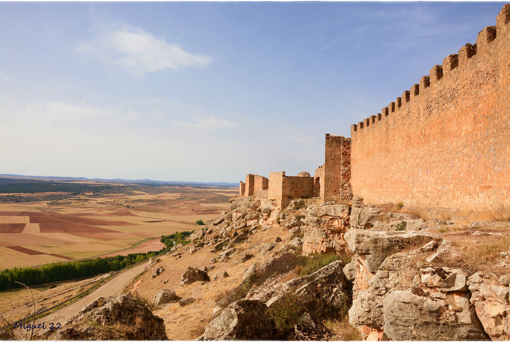
A journey through mediaeval Spain – El Camino del Cid (GR 160)

The Black Towns – Sierra Norte de Guadalajara on foot (GR 60)
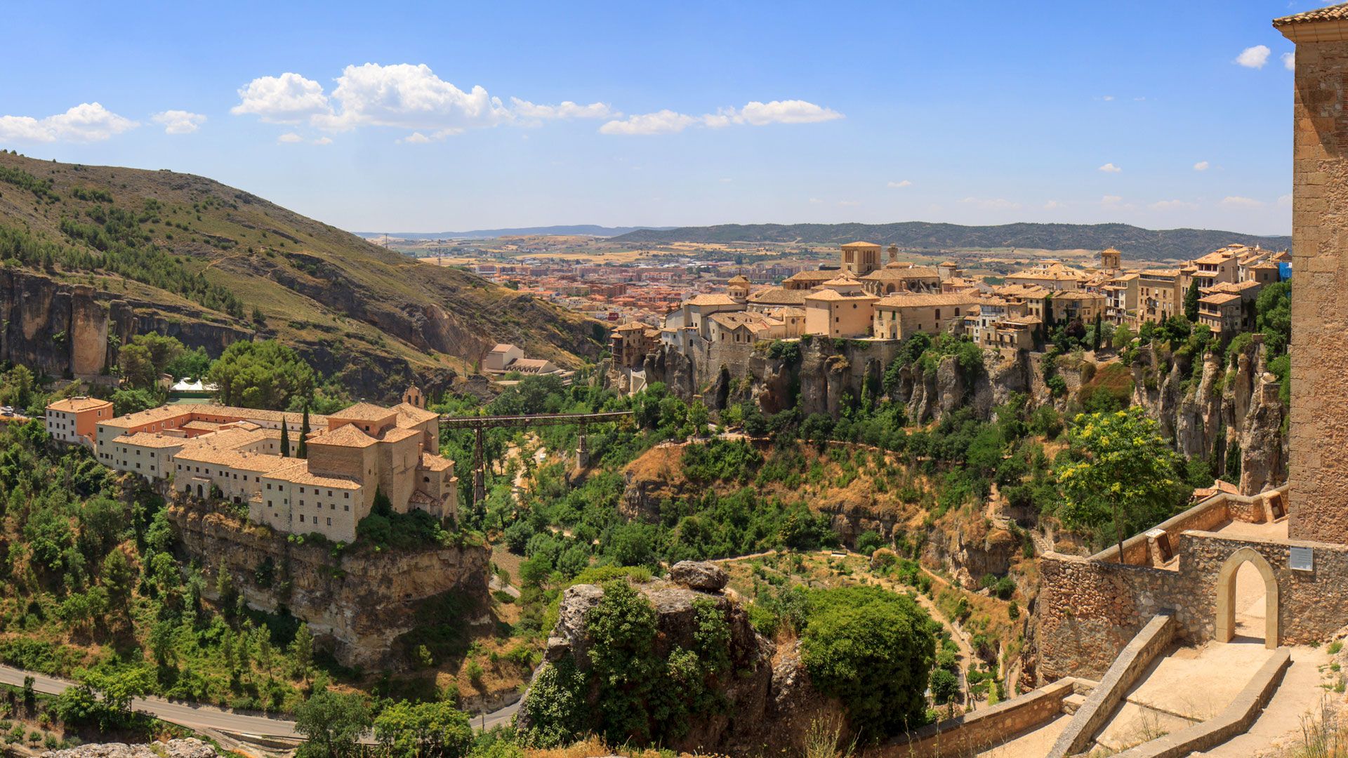
Levante to Castile – Ruta de la Lana Gravel Route
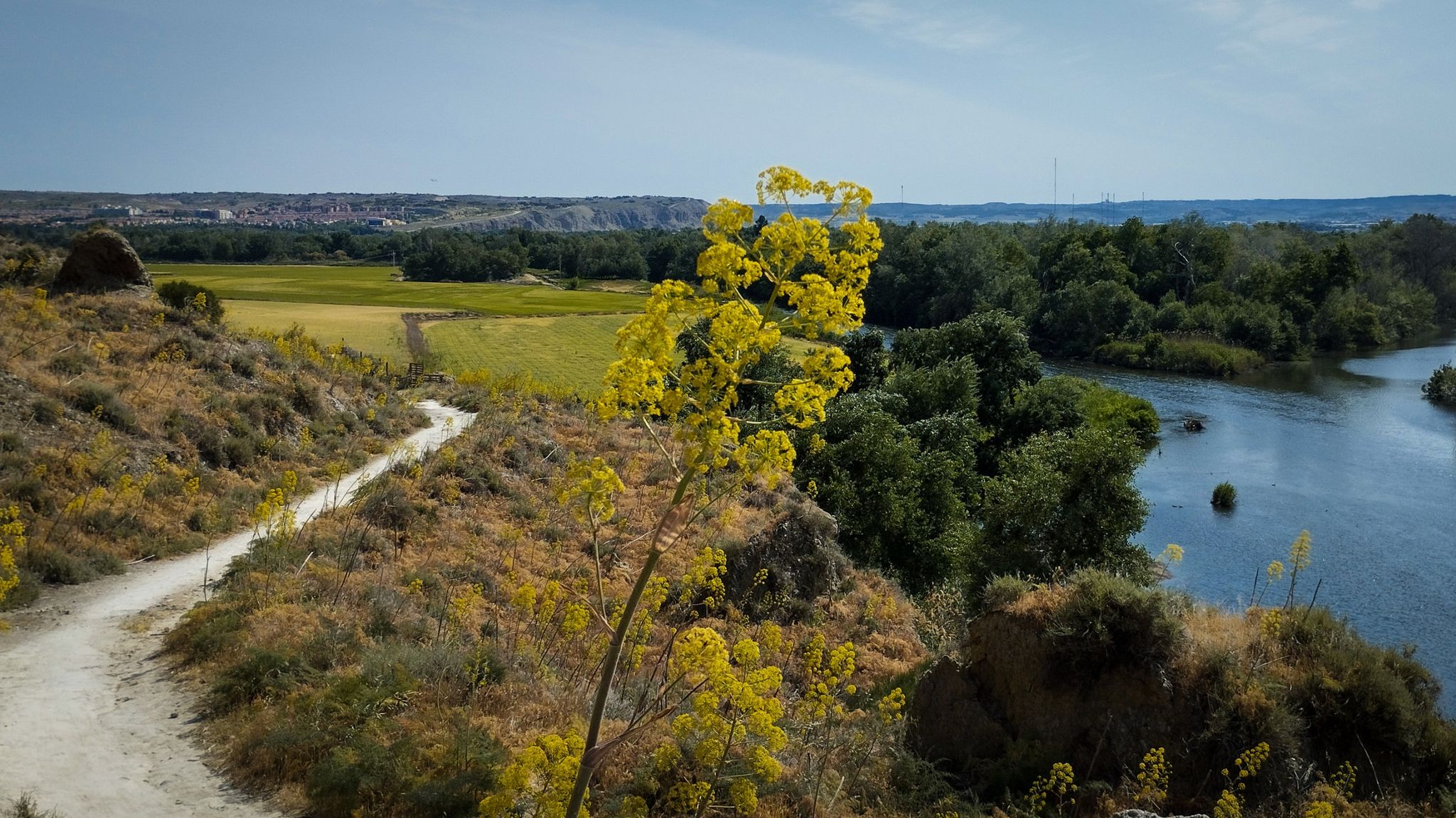
Unexpectedly wild – Jarama on a gravel bike
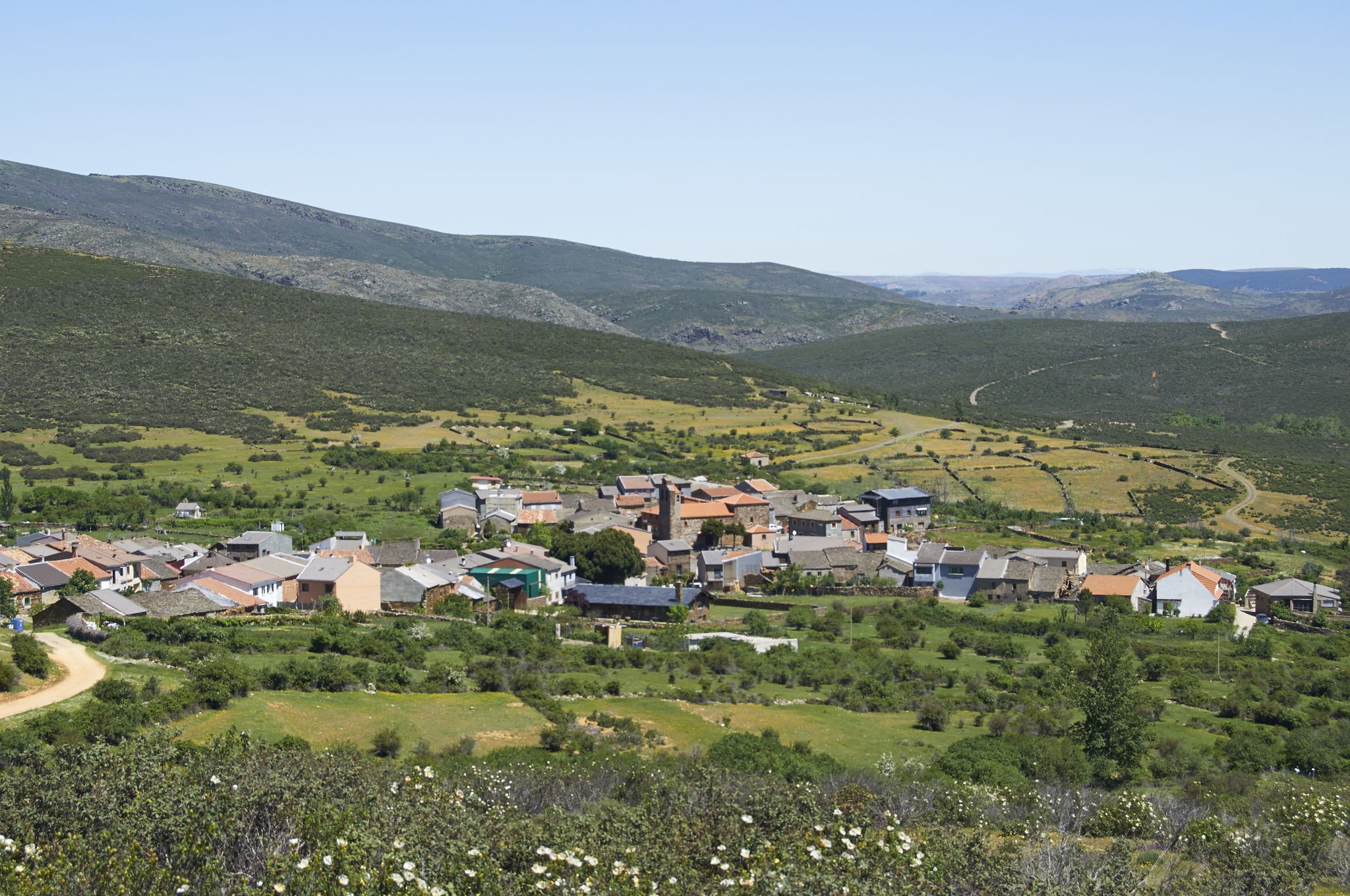
Tierras de Frontera on a gravel bike – El Camino del Cid
El Camino del Cid – The Borderlands on MTB
Other adventures around Sierra


Tips from the Community

These are the ruins of an old but beautiful hermitage.
0
1

start from the dam
1
0
Beautiful place where people go for a walk or to climb.
1
0

The Pontón de la Oliva is a Spanish dam located in the Ayllón mountain range, northeast of the Community of Madrid and northwest of the province of Guadalajara. It was built in 1857 and is currently disused. This dam is the sixth and last in the course of the Lozoya River, and is the oldest of the entire system of dams and canalizations of the Canal de Isabel II. This canal supplies drinking water to Madrid and a large part of the community. The height of the Pontón de la Oliva Dam is approximately 30 meters. If you are interested in exploring the area, there are routes that take you to the Cárcavas de Pontón de la Oliva, a curious geological formation in the Community of Madrid. In addition, you can enjoy a route along the Pontón de la Oliva to the Lozoya River, which offers impressive views. I hope you find this information interesting! 😊
4
0

Spectacular views, generally good climb with some demanding sections before crossing the firebreak. the rest, quite bearable
1
0
Cancho de la Cabeza, the highest peak in the municipality of Patones, rises majestically in the Sierra Norte region of Madrid. This beautiful natural viewpoint offers panoramic views of the El Atazar reservoir and, in the background, you can see the Peña de la Cabra, one of the numerous peaks of the Ayllón mountain range.
2
0
Cancho de la Cabeza, the highest peak in the municipality of Patones, rises majestically in the Sierra Norte region of Madrid. This beautiful natural viewpoint offers panoramic views of the El Atazar reservoir and, in the background, you can see the Peña de la Cabra, one of the numerous peaks of the Ayllón mountain range. Remember that Patones de Arriba is a small “kingdom” near Madrid, full of charm and tradition. Enjoy the natural beauty and stunning views that Cancho de la Cabeza offers! 🏞️🌄
1
0
Nature in Vena. Extraordinary landscape in everything around. Possibility of taking various routes, circular or online, with different origins and destinations.
1
0
Frequently Asked Questions
How many bus-accessible hiking trails are available in the Sierra region?
There are over 89 bus-accessible hiking trails in the Sierra region, offering a wide variety of options for all skill levels. This includes 17 easy routes, 57 moderate routes, and 15 difficult routes, ensuring there's a suitable adventure for everyone.
What makes hiking from bus stations in Sierra unique?
Hiking from bus stations in Sierra offers unparalleled convenience, allowing you to explore the region's diverse landscapes without needing a car. It provides direct access to trails in both the majestic Sierra Nevada (USA) with its granite peaks and alpine lakes, and the ecologically rich Sierra Gorda Biosphere Reserve (Mexico) with its deep canyons and lush forests. This approach encourages sustainable travel and often leads to routes that connect directly with local communities and their public transport networks.
Are there easy or family-friendly bus-accessible hikes in Sierra?
Yes, the Sierra region offers 17 easy bus-accessible routes perfect for families or beginners. These trails often feature gentle terrain and shorter distances. For example, the Cañada de la Caleriza Trail loop from Pontón de la Oliva is a moderate option that is well-suited for a family outing, providing a pleasant experience without excessive challenge.
Can I find trails with scenic viewpoints or natural attractions when hiking from bus stations?
Absolutely! Many bus-accessible trails lead to stunning natural attractions. In the Sierra Nevada, you might find routes near waterfalls or alpine lakes. In the Sierra Gorda, trails often feature turquoise rivers and breathtaking panoramic views. You can also explore highlights like the Enchanted City of Tamajón, a unique natural monument, or the dramatic Hoces del Jarama gorge, both accessible from various routes.
Are there any historical sites or cultural points of interest accessible via bus station hikes?
Yes, the Sierra region is rich in history and culture. Some bus-accessible routes can lead you to fascinating historical sites. For instance, you might find trails that pass near impressive structures like Sigüenza Castle or the Castle of Atienza. The Sigüenza Historic Town Center is another notable highlight that can be integrated into a hiking plan.
Are there any caves or geological wonders to explore on bus-accessible hikes in Sierra?
The Sierra region offers several geological wonders and caves accessible from various trailheads. In the Sierra Gorda, you can find routes leading to impressive caves. In other parts of Sierra, you might discover highlights like the Prehistoric Cave of Los Torrejones or the unique Sima de Villacadima, offering a glimpse into the region's natural history.
Are bus-accessible trails in Sierra suitable for dogs?
Many trails in the Sierra region are dog-friendly, but it's always best to check specific route details and local regulations before you go. Remember to keep your dog on a leash, especially in protected areas or near wildlife, and always pack out waste. Some areas, particularly within national parks, may have restrictions, so verify ahead of time.
What should I pack for a bus station hike in Sierra?
When hiking from a bus station in Sierra, pack essentials like plenty of water, snacks, appropriate layers of clothing for changing weather, sun protection (hat, sunscreen), a first-aid kit, and a fully charged phone. Given the reliance on public transport, a reliable map (like komoot's offline maps) and a portable charger are highly recommended. If your route involves water crossings or potential for wild swimming, consider bringing quick-drying gear.
Are there options for longer, more challenging bus-accessible hikes?
Yes, for experienced hikers seeking a challenge, there are 15 difficult bus-accessible routes. These often involve significant elevation gain and longer distances. An example is the Pico del Alto Rey — circular via the old path of Alto Rey from Bustares, which covers over 16 km with substantial ascent, offering a rewarding experience for those looking for a strenuous adventure.
Are there any circular routes accessible by bus in Sierra?
Yes, many bus-accessible routes in Sierra are designed as circular walks, allowing you to start and end your hike at the same bus stop. This is ideal for public transport users as it eliminates the need for return travel arrangements. Examples include the Pontón de la Oliva Dam loop from Pontón de la Oliva and the Cancho de la Cabeza Summit – View of the Atazar Reservoir loop from Ctra. M134 - Poblado del Atazar.
What do other hikers say about the bus station trails in Sierra?
The bus station trails in Sierra are highly rated by the komoot community, with an impressive average score of 4.59 out of 5 stars from 876 ratings. Reviewers often praise the convenience of public transport access, the diverse and beautiful scenery, and the well-maintained paths that make for an enjoyable hiking experience.
Most popular routes around Sierra
Most popular attractions around Sierra

Get inspired with the komoot mobile app


Didn’t find what you were looking for?
Check out more Hikes throughout Sierra below and find the perfect route in your destination.
Explore more
Browse the best Hikes in other regions.
