The best family-friendly hikes and walks around Campiña
4.7
(601)
4,068
hikers
104
hikes
Hiking around Campiña offers diverse landscapes, from expansive agricultural fields to ancient oak woodlands and riverine environments. The region is characterized by its rolling countryside, often featuring olive groves, cereal crops, and Mediterranean vegetation. Hikers can explore varied terrain including gentle paths along rivers and trails leading through pastures and forests.
Best family friendly hiking trails around Campiña
- The most popular family friendly hiking route is Guadalajara Green Ring Trail, a 3.5 miles (5.7 km) trail that takes 1…
Last updated: June 23, 2026
4.4
(5)
82
hikers
10.1km
02:54
240m
240m
Moderate hike. Good fitness required. Easily-accessible paths. Suitable for all skill levels.
5.0
(1)
25
hikers
6.34km
01:48
140m
150m
Easy hike. Great for any fitness level. Easily-accessible paths. Suitable for all skill levels.

Sign up for free
10
hikers
15.8km
04:16
210m
210m
Moderate hike. Good fitness required. Easily-accessible paths. Suitable for all skill levels.
5.0
(2)
10
hikers
5.66km
01:30
60m
60m
Easy hike. Great for any fitness level. Easily-accessible paths. Suitable for all skill levels.
5.0
(2)
4
hikers
16.1km
04:39
380m
380m
Moderate hike. Good fitness required. Easily-accessible paths. Suitable for all skill levels.
Get access to more routes and recommendations from other explorers.
Sign up for free
Already have an account?
Our route recommendations are based on thousands of hikes, rides, and runs completed by other people on komoot.
Start today with a free account
Your next adventure awaits.
Login or Signup

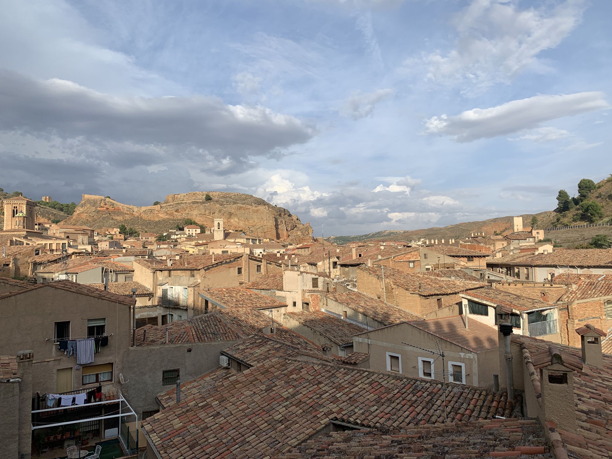
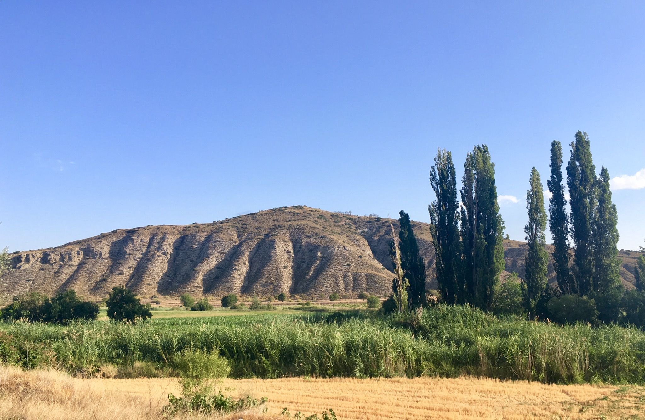
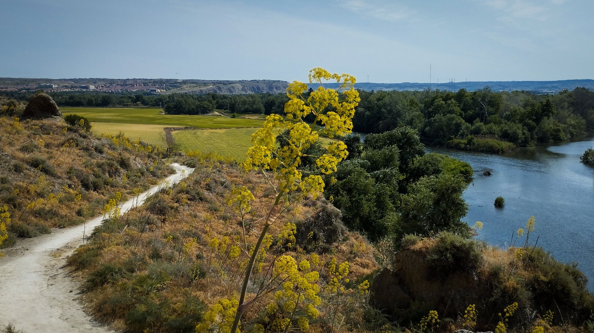
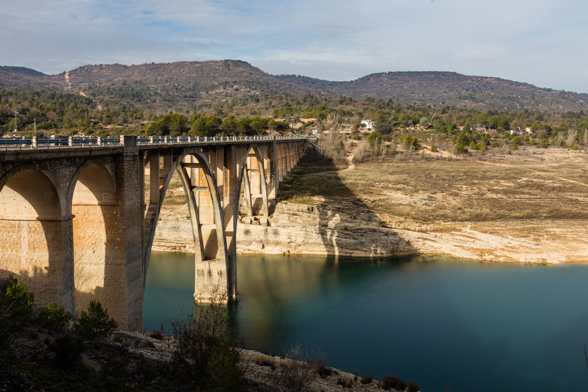
Other adventures around Campiña


Tips from the Community

Flat, long and shady, along the banks of the Henares River, with various entrances and exits to shorten or lengthen the journey. What more could you ask for?
0
1
The Mirador del Río Henares is located above Las Terreras of the aforementioned River. This first photo is of Las Terreras seen from the right bank of the River.
0
0
Viewpoint with Recreation Area over the beautiful town of Chiloeches.
1
0
An extraordinary town with charming people.
1
0
Located in a place a little higher than Guadalajara, it provides privileged views of the entire city and its surroundings.
1
0
Whenever you arrive at this Mirador or Balcony of La Peña Hueva, it is convenient to sit on one of its rocks, without danger of falling into the abyss, and admire the nearby landscape, Iriepal, Guadalajara, Pico del Águila, etc., and in the distance, Madrid, Long Rope, etc. Restful rest admiring the beauty of the landscape and the people who walk there.
1
0
Iriepal is a beautiful stopover town for many routes. Climbs to the Antennas, Climbs to the Peña Hueva, Climbs to the Alcarria, etc. Well, you always want to stay on one of its terraces to have a soft drink or a coffee. Its people are charming.
1
0

In the Middle Ages, Iriépal was part of the Guadalajara town and land community. The town had eighty houses and ninety neighbors, all of them farmers. In addition, it had a hospital for the poor, a mill and an oven of its own. In 1627, the town was called Villaflores.
3
0
Frequently Asked Questions
How many family-friendly hiking trails are available in Campiña?
The Campiña region offers a wide variety of hiking experiences, with over 100 trails suitable for families. Among these, you'll find around 40 easy routes perfect for all ages and skill levels, alongside many moderate options for those seeking a bit more adventure.
What kind of landscapes can we expect to see on family hikes in Campiña?
In the Campiña region of Spain, family hikes often lead through expansive agricultural landscapes, featuring olive groves, sunflower fields, and cereal crops that create a beautiful tapestry of colors, especially in spring. You might also encounter riparian poplar forests, Mediterranean vegetation with holm oaks, and ancient oak trees. Some trails offer views of ancient ravines and wetlands, providing a diverse natural experience.
Are there any easy, circular routes suitable for families with young children?
Yes, Campiña has several easy, circular routes perfect for families. For example, the Guadalajara Green Ring Trail is an easy 5.6 km loop with minimal elevation gain, making it ideal for a relaxed family outing. Another great option is the Peñalba Viewpoint Trail, an easy 6.3 km route that offers scenic views.
What are some interesting landmarks or natural sights to look out for along the trails?
Many trails in Campiña pass by fascinating points of interest. You could explore historical sites like the Palace of the Infantado or Pioz Castle. For natural beauty, keep an eye out for the Pico del Águila, the Fountain of Joy, or the View of the Henares River from the natural overlook. Some routes even lead past unique geological features like the Los Cubos Stream Cave.
Can we spot any wildlife while hiking with our family in Campiña?
Absolutely! The diverse landscapes of Campiña offer opportunities for wildlife spotting. In the Seville Campiña, you might see rabbits, partridges, various birds like crested larks and Montagu's harriers, and even foxes. The Campiña Sur de Badajoz is known for bird watching, especially cranes, and offers chances to observe general wildlife, including the elusive Iberian lynx in some areas. Keep a respectful distance and enjoy observing nature.
What is the best time of year to go hiking with family in Campiña?
Spring is often considered the best time for family hiking in Campiña, as the agricultural fields transform into a 'kaleidoscope of contrasting colors' and the weather is generally mild. Autumn also offers pleasant temperatures and beautiful scenery. Summers can be quite hot, especially in the Spanish Campiña, so early mornings or late afternoons are recommended if hiking during this season.
Are there any trails that offer good viewpoints for scenic family photos?
Yes, many trails provide excellent viewpoints. The Peñalba Viewpoint Trail is specifically named for its scenic vistas. Additionally, the Peña Hueva Ascent Trail (the shorter 10.1 km version) offers rewarding views from higher ground, perfect for capturing memorable family moments.
Are dogs allowed on the family-friendly hiking trails in Campiña?
While specific regulations can vary by trail and protected area, many natural spaces in Campiña are generally dog-friendly. It's always best to keep your dog on a leash, especially in areas with wildlife or livestock, and to carry waste bags. Always check local signage at trailheads for any specific restrictions.
What do other hikers say about the family-friendly trails in Campiña?
The Campiña region is highly rated by the komoot community, with an average score of 4.7 stars across its trails. Reviewers often praise the peaceful agricultural landscapes, the well-maintained paths, and the accessibility of many routes for families. Many appreciate the opportunity to connect with nature and discover charming villages along the way.
Are there any longer, moderate family hikes for older children or more experienced families?
For families looking for a more challenging but still manageable hike, the Chiloeches to Villaflores and Peñalba Viewpoint Loop is a moderate 15.8 km route with some elevation gain, offering a rewarding experience. Another option is the longer Peña Hueva Ascent Trail (the 16.1 km version), which provides a good workout and expansive views.
Is it easy to find parking at the trailheads for family hikes in Campiña?
Parking availability can vary, but many trailheads, especially those near towns or popular starting points, offer designated parking areas. For trails that pass through or start near villages, you can often find street parking. It's advisable to check the specific route details on komoot for information on parking at the start of your chosen trail.
Most popular routes around Campiña
Most popular attractions around Campiña

Get inspired with the komoot mobile app


Explore more
Browse the best Hikes in other regions.
