The best hikes from bus stations around Tudanca-Cabuerniga
4.3
(1341)
8,137
hikers
12
hikes
Bus station hiking trails around Tudanca-Cabuerniga are set within Cantabria's Saja-Besaya Natural Park, characterized by extensive deciduous forests of beech, oak, and chestnut. The terrain features a mix of gentle mountains, rugged limestone ridges, and river valleys carved by the Saja and Besaya rivers. This region offers diverse landscapes for hiking, from serene forest paths to more challenging mountain excursions.
Best bus station hiking trails around Tudanca-Cabuerniga
- The most popular bus station hiking route is Fuente Clara Trail, an easy 4.3 miles (7.0 km) trail that takes 1 hour 53 minutes to complete. This route features a gentle elevation gain through natural surroundings.
- Another top favourite among local hikers is Camino Lebaniego Trail, a difficult 12.5 miles (20.2 km) path. This longer route offers significant elevation changes and expansive views across the landscape.
- Local hikers also love the La Fuentona de Ruente - Saja River Loop, a 2.9 miles (4.7 km) trail leading through river valleys and forests, often completed in about 1 hour 17 minutes.
- Hiking around Tudanca-Cabuerniga is defined by vast deciduous forests, river valleys, and a mix of gentle and rugged mountains, with options for various ability levels.
- The routes in Tudanca-Cabuerniga are highly rated by the komoot community with an average score of 4.4 stars from more than 1,200 reviews. More than 7,700 hikers have used komoot to explore Tudanca-Cabuerniga's varied terrain.
Last updated: July 10, 2026
4.5
(11)
69
hikers
6.98km
01:53
90m
90m
Easy hike. Great for any fitness level. Easily-accessible paths. Suitable for all skill levels.
5.0
(1)
22
hikers
20.2km
05:30
300m
300m
Hard hike. Very good fitness required. Easily-accessible paths. Suitable for all skill levels.

Sign up for free
4.0
(1)
5
hikers
4.70km
01:17
70m
70m
Moderate hike. Great for any fitness level. Mostly accessible paths. Sure-footedness required.
4.0
(1)
7
hikers
7.28km
02:00
120m
120m
Easy hike. Great for any fitness level. Easily-accessible paths. Suitable for all skill levels.
4.3
(4)
14
hikers
8.87km
03:00
420m
420m
Moderate hike. Good fitness required. Easily-accessible paths. Suitable for all skill levels.
Get access to more routes and recommendations from other explorers.
Sign up for free
Already have an account?
Our route recommendations are based on thousands of hikes, rides, and runs completed by other people on komoot.
Start today with a free account
Your next adventure awaits.
Login or Signup
Popular around Tudanca-Cabuerniga

Hikes from bus stations in Desfiladero De La Hermida

Hikes from bus stations in Saja-Besaya

Hikes from bus stations around National Park Saja-Besaya

Hikes from bus stations in Lic-Valles Altos Del Nansa Y Saja Y Alto Campoo

Hikes from bus stations in Sierra De Peña Sagra

Hikes from bus stations in Lic-Rio Saja

Between valleys and villages – Saja Reserve Trail (GR 71)
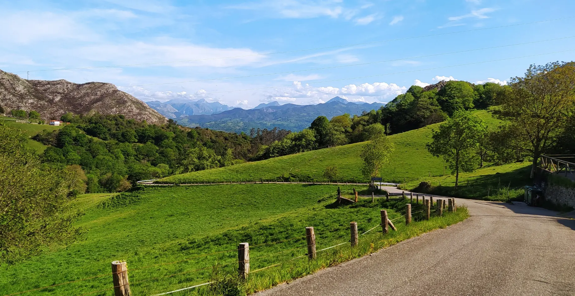
Great mountain passes of Picos de Europa on road bikes
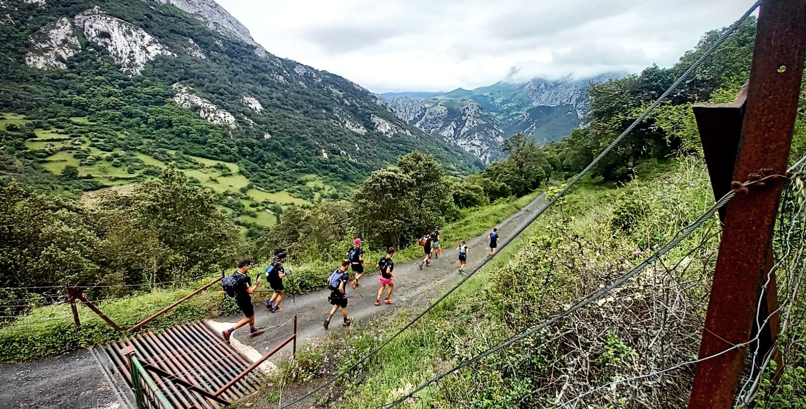
A pilgrim adventure – Spain’s Lebaniego Challenge
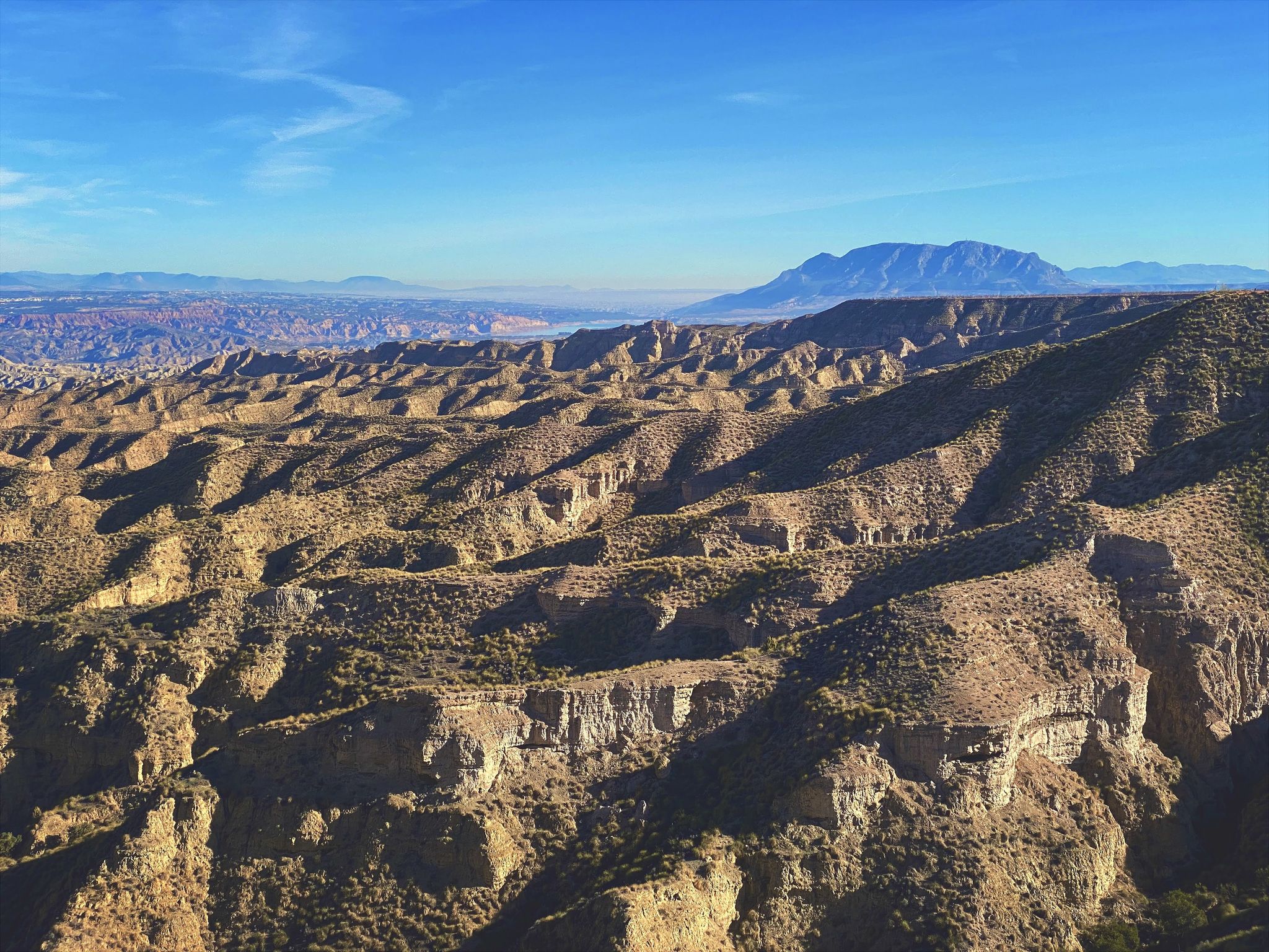
Discover Spain by gravel — a selection of must-see routes
Other adventures around Tudanca-Cabuerniga


Tips from the Community

Whenever I pass by here, even by car, I take a look at this beautiful bridge.
1
0
Beautiful site, and right in the town.
1
0
And it's also the starting point for a ton of really cool routes.
2
0

A path that goes into the forest and is shared by two routes: on the left, the LCB-6A that ascends to the peaks of Acebo and Mozagro. On the right, the LCB-6B that remains in the Coo forest through El Castañal.
0
0
As always when I go to this town, I doubt if the best thing is the town... or the food, both extraordinary.
3
0
And the views of the town from the other side, enchanting.
2
0

A classic animal drinker.
1
0
There is not much to say, I agree with Óscar that the bridge is up to the town it belongs to... everything in this town is very well cared for and preserved. It also has a couple of "sidings" so that pedestrians could withdraw when a vehicle was going to cross over the bridge (now prohibited) and they have put some chairs to sit down.
1
0
Frequently Asked Questions
How many bus-accessible hiking trails are available in Tudanca-Cabuérniga?
There are over 10 hiking routes in the Tudanca-Cabuérniga region that are easily accessible from bus stations, offering a variety of experiences for different skill levels.
Are there easy hiking options accessible by bus for beginners or families?
Yes, the region offers several easy routes perfect for beginners or families. For example, the Fuente Clara Trail is a gentle option, and the Monte Corona - Oyambre Natural Park route also provides an easy, scenic walk from a bus stop.
Can I find circular hiking routes starting from a bus stop?
Absolutely. Many trails are designed as loops, allowing you to start and end your hike at the same bus stop. The La Fuentona de Ruente - Saja River Loop is a great example of a moderate circular route that begins and ends conveniently near public transport.
Are there any trails accessible by bus that feature waterfalls or rivers?
Yes, the region is known for its beautiful river valleys. The La Fuentona de Ruente - Saja River Loop follows the Saja River, offering picturesque waterside views. The wider Saja-Besaya Natural Park also features numerous streams and waterfalls, such as the popular Lamiña Waterfalls, which can be reached via trails from nearby villages.
What kind of natural landscapes can I expect to see on these bus-accessible hikes?
You'll encounter diverse landscapes, from extensive deciduous forests (especially ancient beech, oak, and chestnut groves) to river valleys and gentle mountains. Many routes pass through the Saja-Besaya Natural Park, offering pristine natural beauty.
Are there any viewpoints or notable landmarks along the bus-accessible routes?
Yes, several routes offer stunning views and pass by unique landmarks. You might encounter the El Moral Plateau, known for its expansive vistas, or the unique Fallen Oak of Brujilices, a natural monument. The Mirador La Cardosa also offers spectacular views within the Saja-Besaya Natural Park.
What is the best time of year to hike these trails from bus stations?
The region is beautiful year-round, but spring and autumn are particularly popular. Spring brings lush greenery and wildflowers, while autumn transforms the extensive forests into vibrant displays of color, especially in the beech and oak groves. Summer is also pleasant, though some routes might be warmer.
Are dogs allowed on the bus-accessible hiking trails in Tudanca-Cabuérniga?
Generally, dogs are welcome on most hiking trails in the region, especially within the Saja-Besaya Natural Park, provided they are kept under control, ideally on a leash, and owners clean up after them. Always check specific trail regulations or local signage for any restrictions.
What do other hikers enjoy most about hiking in Tudanca-Cabuérniga?
The komoot community highly rates the hiking experiences here, with an average score of 4.35 stars. Reviewers often praise the tranquility of the ancient forests, the beauty of the river valleys, and the well-preserved natural environment of the Saja-Besaya Natural Park, making it ideal for peaceful nature walks.
Are there any more challenging bus-accessible hikes for experienced trekkers?
For those seeking a greater challenge, the region does offer more demanding routes. The Camino Lebaniego Trail, for instance, is classified as difficult and provides a longer, more strenuous experience with significant elevation changes, accessible from certain bus stops along its path.
Can I find cafes or restaurants near the bus stops for these hiking trails?
Many of the villages that serve as bus stops and trailheads, such as Tudanca and those within the Cabuérniga Valley, have local cafes, bars, and restaurants where you can enjoy a meal or a refreshing drink before or after your hike. It's always a good idea to check opening hours, especially in smaller villages.
Most popular routes around Tudanca-Cabuerniga
Most popular attractions around Tudanca-Cabuerniga

Get inspired with the komoot mobile app


Didn’t find what you were looking for?
Check out more Hikes throughout Tudanca-Cabuerniga below and find the perfect route in your destination.
