The best traffic-free bike rides around Weststellingwerf
4.4
(70)
1,320
riders
70
rides
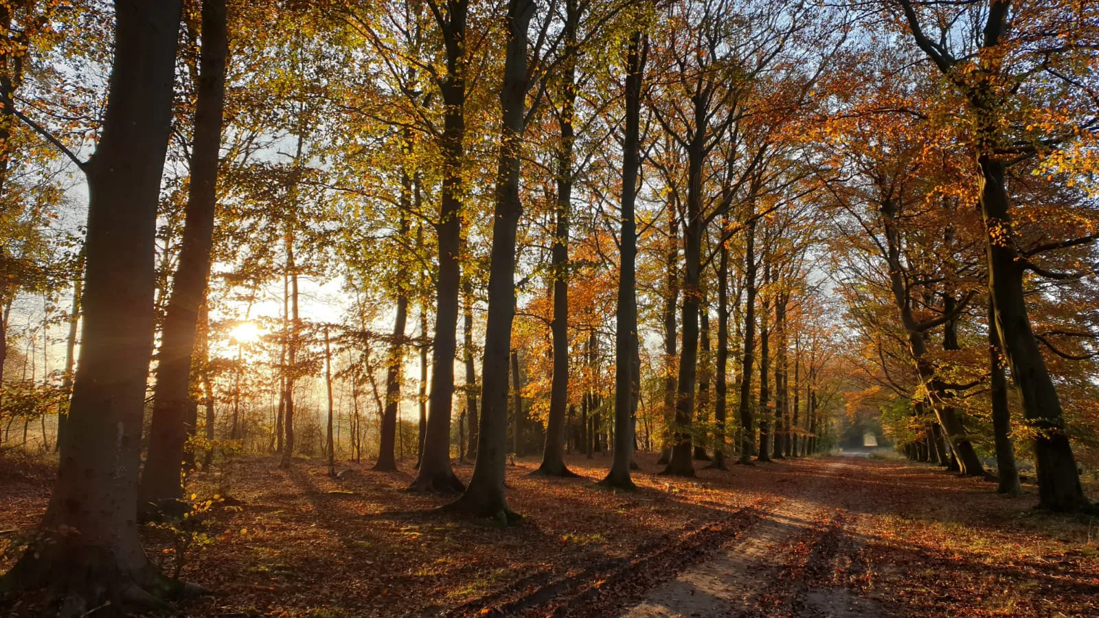
No traffic gravel bike trails around Weststellingwerf traverse a diverse landscape in the northern Netherlands, bordering Drenthe and Overijssel. The region features the expansive Drents-Friese Wold National Park, characterized by woodlands, heathlands, and sand dunes, including the unique Aekingerzand. Further natural areas like the Fochteloërveen offer extensive forests, heathland, and varied peat and sandy soils, creating varied conditions for gravel riding. The terrain includes forest paths, open fields, and gravel tracks, providing a range of surfaces for gravel biking.
Best…
Last updated: October 24, 2026
4.7
(6)
71
riders
103km
05:47
120m
120m
Hard gravel ride. Very good fitness required. Mostly paved surfaces.
57
riders
49.2km
03:23
70m
70m
Moderate gravel ride. Good fitness required. Mostly paved surfaces.

3.0
(1)
31
riders
26.2km
01:49
30m
30m
Easy gravel ride. Mostly paved surfaces.
5.0
(3)
17
riders
54.3km
03:01
80m
80m
Moderate gravel ride. Good fitness required. Mostly paved surfaces.
18
riders
26.7km
01:44
30m
30m
Easy gravel ride. Mostly paved surfaces.
Get access to more routes and recommendations from other explorers.
Already have an account?
Our route recommendations are based on thousands of hikes, rides, and runs completed by other people on komoot.
Start today with a free account
Your next adventure awaits.
Popular around Weststellingwerf
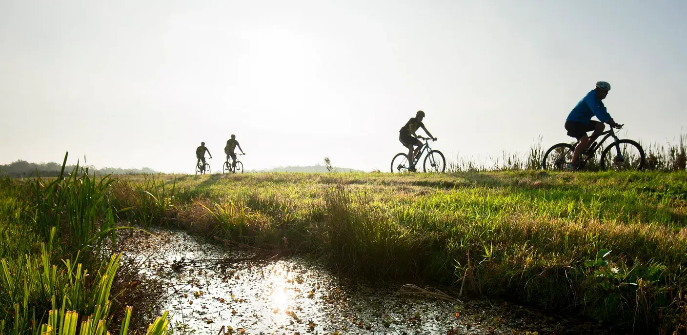
Recharging in Friesland – nature and culture in northern Netherlands
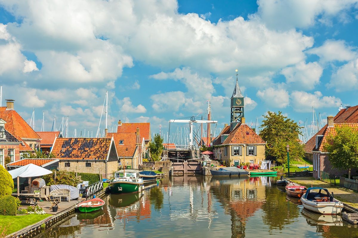
Ten rejuvenating bike rides through Friesland
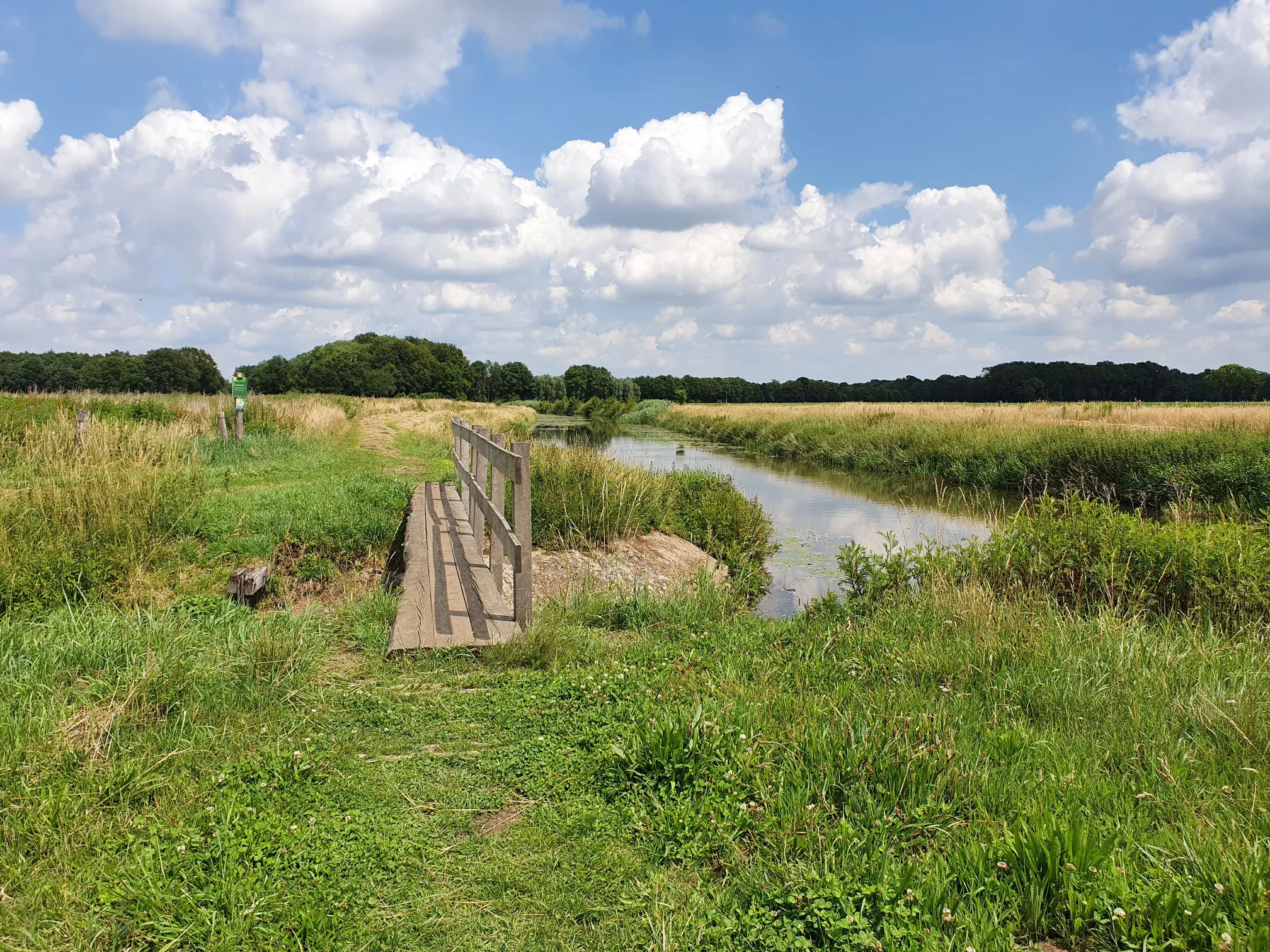
Peat houses and canals – 5 hikes in the Netherlands
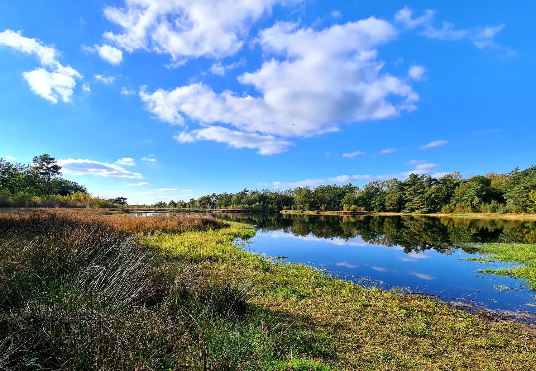
Frisian Forest Trail – walk from the Wadden Sea to Overijssel
Experience the 2023 Hiking Route of the Year – Stellingenpad Trail

Traffic-free bike rides around Weststellingwerf

Traffic-free bike rides around Weststellingwerf
Other adventures around Weststellingwerf


Tips from the Community

The "Nationaal Park Drents-Friese Wold" is a 6150-hectare contiguous nature area on the border of the Dutch provinces of Friesland and Drenthe. The National Park is one of the largest of the 21 existing parks in the Netherlands and consists of forest, heathland, and drifting sand areas. Its closed forest area is the second largest in the Netherlands. It is bordered by Appelscha in the southeast of Friesland and Doldersum, Diever, Hoogersmilde, Wapse, and Vledder in Drenthe. The Drents-Friese Wold area was declared a National Park in 2000. The park is operated by the state forestry administration (Dutch: Staatsbosbeheer), the association for nature monuments (Natuurmonomenten), the Het Drentse Landschap foundation, and the Maatschappij van Weldadigheid foundation. Only a very small part of the area is still privately owned. The National Park has a visitor center in Appelscha and Diever, as well as information boards at the park's six large parking lots. Over 130 kilometers of hiking trails are signposted. The network of very good cycling paths is similarly extensive. Source: partly Wikipedia
0
0

This is the blue MTB route of Appelscha; a varied and in places technical route, but very fun to ride. Easy to combine with the Bosberg route, which is a bit tougher with quite high hills.
0
0

Path has been completely renewed and widened. Equipped with new bridges. Recommended to cycle along again!!
0
0

Lost Wings information panel Bf 109G-6 No. 166043. For more information see www.slodrenthe.nl/fietsroutes/
0
0

A beautiful tower with an even more beautiful view. From the tower, I scanned the area with my binoculars, looking for cranes. Their call haunted the field the entire morning I was there.
0
0
A route that combines beautiful scenery, occasionally technical trails, and some flowy tracks. Unfortunately, there are no grazers in this area anymore due to the wolf, although a herd of horses is said to live there. Incidentally, I've never seen a wolf there.
0
0
Good concrete bike path. Very nice along the water.
0
0

The second-largest dolmen in the Netherlands can be found in Havelte. Dolmen D53 is the only dolmen damaged during the war. The German air force wanted to build an airfield at this location, so the stones were moved. The airfield was bombed to pieces, and the dolmen was excavated and reassembled. The dolmen is approximately 18 meters long, almost complete, and lies on the edge of a heathland. Along with dolmens D54 and D52, it is one of the few in this part of Drenthe. Dolmen D54 is slightly smaller than D53. It lies in the middle of a small sandy plain surrounded by grass. It is a beautiful walking area around these dolmens, as the small sandy plain is surrounded by heathland, small forests, and meadows. Dolmen D53 and D54 are a must-see on your dolmen tour because they are complete, well-maintained, and impressive. If you're coming from Havelte, you can follow the main road, which will take you past a side road. If you take this, the dolmen is almost immediately on your left. Continue driving a little further, and you'll find dolmen D54. Source: https://www.drenthe.nl/locaties/1800662783/hunebed-d53-en-d54-1
1
0
Frequently Asked Questions
How many no-traffic gravel bike trails are available in Weststellingwerf?
Komoot offers over 50 no-traffic gravel bike trails in the Weststellingwerf region. These routes vary in difficulty, with 14 easy, 25 moderate, and 11 difficult options, ensuring there's a suitable ride for every skill level.
What kind of terrain can I expect on gravel bike trails in Weststellingwerf?
The terrain in Weststellingwerf is quite diverse, offering a rich experience for gravel bikers. You'll encounter varied forest paths, extensive fields connected by gravel tracks, and unique landscapes like the shifting sands of the Aekingerzand within the Drents-Friese Wold National Park. The region also features heathlands and peat landscapes, providing a mix of sandy and peat soils.
Are there any family-friendly no-traffic gravel routes in Weststellingwerf?
Yes, Weststellingwerf offers several family-friendly options. Many of the 14 easy routes are suitable for families. These trails often traverse quiet forest paths and open fields, providing a safe and enjoyable experience away from traffic. Look for routes with shorter distances and minimal elevation gain for the best family experience.
What are some natural features or landmarks I can see along the gravel trails?
The region is rich in natural beauty and historical sites. You can explore the vast woodlands, heathlands, and sand dunes of the Drents-Friese Wold National Park. The unique Aekingerzand, often called 'the Sahara of Friesland,' offers stunning panoramic views. You might also encounter ancient burial mounds like Dolmen D53. For a route that combines nature with history, consider the Dolmens of Holtingerveld – Dolmen D54 loop from Vledder.
Can I find circular gravel bike routes in Weststellingwerf?
Absolutely. Many of the no-traffic gravel bike trails in Weststellingwerf are designed as circular routes, allowing you to start and end at the same point. For example, the Limitless – Doldersummerveld loop from Vledder is an easy 25 km circular route, perfect for a relaxed ride. Another option is the Oranjewoud Estate – Eco-Cathedral loop from Heerenveen, a moderate 30 km loop.
What is the best time of year to go gravel biking in Weststellingwerf?
Spring, summer, and early autumn are generally the best times for gravel biking in Weststellingwerf. During these seasons, the weather is milder, and the natural landscapes, from blooming heathlands to lush forests, are at their most vibrant. While winter riding is possible, be prepared for potentially wet and muddy conditions, especially in areas with peat soils.
Are there any cafes or places to eat near the gravel bike trails?
While specific cafes directly on every trail might be limited due to the 'no traffic' nature, many routes pass through or near charming villages where you can find local eateries and cafes. It's always a good idea to check the route map beforehand and plan your stops in towns like Vledder or Heerenveen, which serve as common starting points for many tours.
What do other gravel bikers enjoy most about the trails in Weststellingwerf?
The komoot community highly rates the gravel biking experience in Weststellingwerf, with an average score of 4.5 stars from 36 ratings. Reviewers often praise the tranquility of the no-traffic routes, the diverse and scenic landscapes, and the feeling of immersion in nature, especially within the Drents-Friese Wold National Park.
Are there any longer, more challenging gravel routes for experienced riders?
Yes, for experienced riders seeking a challenge, Weststellingwerf offers several difficult routes. One notable option is the Bontebok Statue in Bontebok – Heerenveen Town Center loop from Heerenveen, which is a demanding 84 km ride. These longer routes often feature more varied terrain and can take several hours to complete.
Can I combine gravel biking with other outdoor activities in the region?
Absolutely! Weststellingwerf is a hub for outdoor activities. Many gravel routes are adjacent to popular hiking trails, such as the Bosberg Trail in Drents-Friese Wold. The region is also popular for general cycling and camping, allowing you to extend your stay and explore the natural surroundings further. You could also visit nearby attractions like Lemmer town center and canals or Blokzijl for a cultural experience.
What are the typical distances and elevation gains for gravel routes in Weststellingwerf?
The routes vary significantly. Easy trails can be around 25 km with minimal elevation gain, such as the Limitless – Doldersummerveld loop with about 33 meters of ascent. Moderate routes often range from 30-45 km with 40-60 meters of elevation, like the Oranjewoud Estate – Bench With View of De Tsjonger loop. Difficult routes can extend to over 80 km with around 80 meters of climbing, offering a full day's adventure.
Most popular routes around Weststellingwerf
Most popular attractions around Weststellingwerf

Get inspired with the komoot mobile app


Explore more
Browse the best Gravel rides in other regions.
