The best traffic-free bike rides around Entrelacs
4.5
(628)
22,602
riders
34
rides
No traffic road cycling routes around Entrelacs are characterized by a landscape of interlaced lakes and dense forests, set within the Laurentian foothills of Quebec's Lanaudière region. The terrain features rolling hills, varied topography, and scenic lake shores, offering diverse and picturesque routes for road cyclists. Rivers like the Jean-Venne also contribute to the natural beauty encountered along the paths. This region provides a mix of challenging sections and serene stretches, making it suitable for various cycling preferences.
Best no traffic road cycling routes around Entrelacs
- The most popular no traffic road cycling route is Montcel – Route du Chef-Lieu (D 211) loop from Saint-Ours, a 16.3 miles (26.2 km) trail that takes 1 hour 23 minutes to complete, offering varied topography through rolling hills.
- Another top favourite among local road cyclists is Bridge over the Chéran – Trévignin Bakery loop from Trévignin, a moderate 27.1 miles (43.7 km) path that winds through scenic forests and offers expansive views.
- Local road cyclists also love the Route de Laplace – Entrelacs loop from Saint-Félix, a 20.6 miles (33.1 km) trail leading through the region's characteristic interlaced lakes landscape, often completed in about 1 hour 41 minutes.
- Road cycling around Entrelacs is defined by interlaced lakes, forested terrain, and rolling hills. The network offers options for different ability levels, from moderate paths to more challenging sections with significant elevation gain.
- The routes in Entrelacs are highly rated by the komoot community with an average score of 4.7 stars from over 50 reviews. More than 1700 road cyclists have used komoot to explore Entrelacs's varied terrain.
Last updated: August 16, 2026
4.5
(6)
121
riders
62.1km
03:50
1,710m
1,710m
Hard road ride. Very good fitness required. Mostly well-paved surfaces and easy to ride.
5.0
(2)
21
riders
26.2km
01:24
490m
500m
Moderate road ride. Good fitness required. Mostly well-paved surfaces and easy to ride.

Sign up for free
3.0
(1)
18
riders
43.7km
02:29
810m
810m
Moderate road ride. Good fitness required. Some segments of this route may be unpaved and difficult to ride.
5.0
(1)
27
riders
12.9km
00:37
100m
100m
Moderate road ride. Great for any fitness level. Some segments of this route may be unpaved and difficult to ride.
14
riders
29.6km
01:29
440m
440m
Moderate road ride. Good fitness required. Mostly well-paved surfaces and easy to ride.
Get access to more routes and recommendations from other explorers.
Sign up for free
Already have an account?
Our route recommendations are based on thousands of hikes, rides, and runs completed by other people on komoot.
Start today with a free account
Your next adventure awaits.
Login or Signup
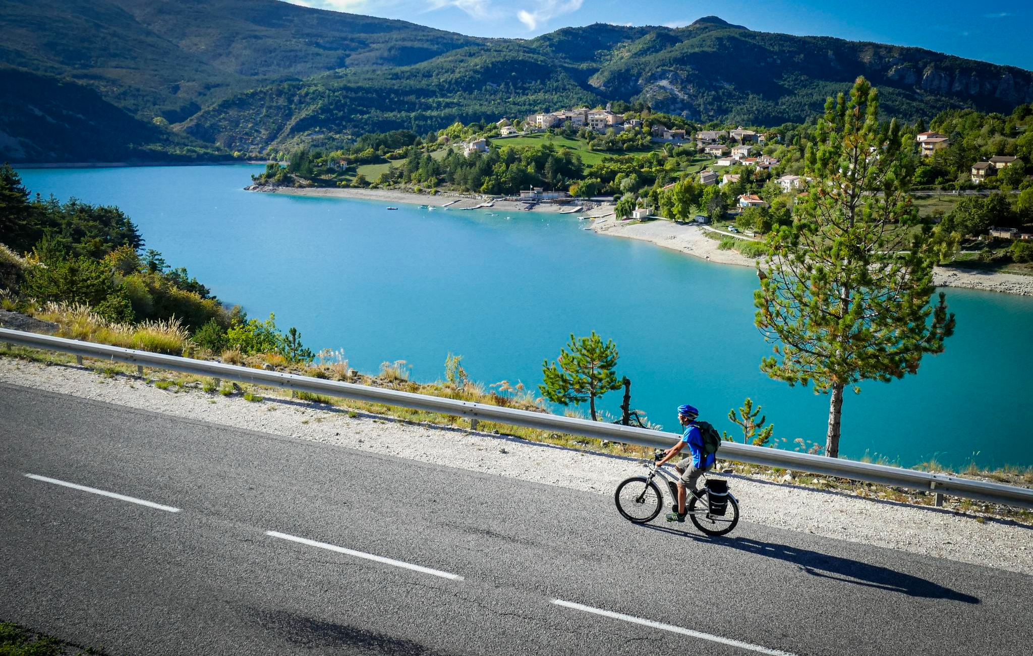
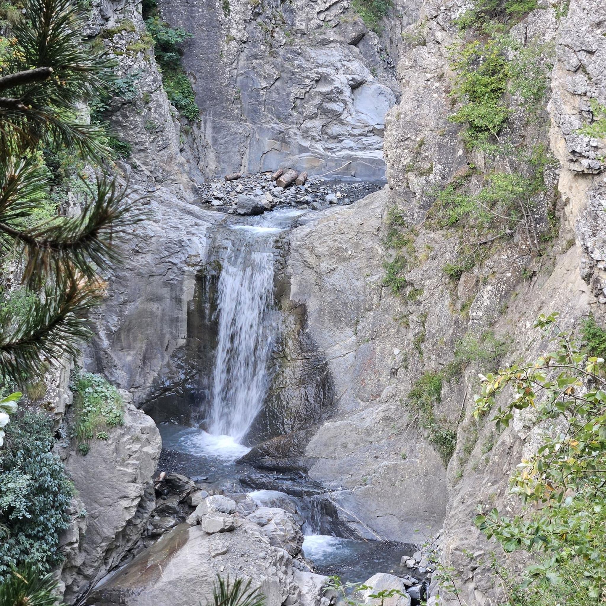

Other adventures around Entrelacs

Tips from the Community

Great pass with very little traffic which allows you to enjoy a panorama in complete tranquility. The viewpoint at the summit offers a beautiful view of the Chautagne and Lake Bourget from the paragliding departure slope (accessible from a path from the parking lot up there) 🪂 Pass accessible 2km from Chindrieux station or 11km from Culoz station 🚃
0
0
Great pass with very little traffic which allows you to enjoy a panorama in complete tranquility. The viewpoint at the summit offers a beautiful view of the Chautagne and Lake Bourget from the paragliding departure slope (accessible from a path from the parking lot up there) 🪂 Pass accessible 2km from Chindrieux station or 11km from Culoz station 🚃
0
0

small , restored, medieval town square and bridge crossing the inner gorge of the Cheran. Short steep approaches down to the river on both sides, a great place to take a break and just enjoy the surroundings
0
0

The original Marian shrine "La Salette," which is referred to in this patronal feast, is located in the French Alps (Grenoble district) and is an important Marian shrine, even if it has not achieved the same level of fame as other pilgrimage sites honoring the Mother of God—such as Lourdes in the French Pyrenees or Fatima in Portugal. In komoot, the highlight "La Salette" can be found in the "Hiking" category at the following link: + https://www.komoot.com/de-de/highlight/1861054
1
0

Sumpa viewpoint
1
0
Located on the heights of Mont Clergeon to the north of Lac du Bourget, the Col du Clergeon – 979 m – has the particularity of belonging to a non-Alpine massif, in this case that of Jura but also to the department of Savoie which is naturally affiliated with the Alps. WEST SIDE This slope starting at Ruffieux, located just opposite the Grand Colombier, has an air copied from that of its illustrious neighbor: certainly shorter with 8.8 km but at 8.5% on average! Around fifteen bends will help you climb the 728 m of positive altitude difference. Still count on a big passage of 1840 m at 10.5% to reach the Col du Clergeon at 979 m above sea level which marks the border with Haute-Savoie. EASTERN SIDE This slope starts at Rumilly in… Haute-Savoie. It offers a positive altitude difference equivalent to the western slope with 772 m but being longer with 15 km, the difficulty is a little less with an average slope of 6.5%. However, the ascent is tricky because it has 2 descents that will have to be climbed back up and a long passage of 3.4 km on a slope of between 8.5 and 9.5%. Small sweetness: the finale won't be too difficult. Sources: Alpes4ever
1
0
Super pass, regular, with a view of the Bauges on the Cessens side.
1
0
Pretty little chapel on the Col de Sapenay road, which overlooks a superb view of the mountains!
2
0
Frequently Asked Questions
How many no-traffic road cycling routes are available in Entrelacs?
There are over 30 dedicated no-traffic road cycling routes around Entrelacs, offering a variety of experiences. Most of these, about 28, are rated as moderate, with a few easier and more challenging options also available.
What kind of landscapes can I expect on these no-traffic road cycling routes?
Entrelacs, meaning 'interlaced lakes,' lives up to its name. You'll find routes winding through serene lake shores, dense coniferous woodlands, and rolling hills characteristic of the Laurentian foothills and Canadian Shield. Many routes offer expansive views of the surrounding lakes and distant peaks, providing a visually rewarding experience.
Are there any family-friendly no-traffic road cycling routes in Entrelacs?
Yes, Entrelacs offers several routes suitable for families looking for a relaxed ride away from traffic. For example, the Plan d'eau de Rumilly loop from Saint-Félix is a moderate route that covers just under 13 km with minimal elevation gain, making it a great option for a pleasant family outing.
What is the best time of year for no-traffic road cycling in Entrelacs?
The best time for road cycling in Entrelacs is typically from late spring through early autumn. During these months, the weather is generally mild, and the natural scenery, from lush forests to sparkling lakes, is at its most vibrant. Summer offers the warmest temperatures, while spring and autumn provide cooler rides and beautiful foliage.
Are there any challenging no-traffic road cycling routes for experienced cyclists?
Absolutely. While many routes are moderate, the region's hilly terrain, especially in the Laurentian foothills, provides opportunities for significant elevation gain. Routes like the Bridge over the Chéran – Trévignin Bakery loop from Trévignin, covering over 43 km with more than 800 meters of ascent, offer a good challenge for experienced riders seeking a rewarding workout.
What do other cyclists say about the no-traffic road cycling routes in Entrelacs?
The no-traffic road cycling routes in Entrelacs are highly rated by the komoot community, with an average score of 4.7 out of 5 stars from over 50 reviews. Cyclists often praise the quiet, scenic roads, the varied topography, and the beautiful views of the interlaced lakes and forested landscapes.
Can I find circular no-traffic road cycling routes in Entrelacs?
Yes, many of the no-traffic road cycling routes in Entrelacs are designed as loops, allowing you to start and end at the same point. Examples include the Montcel – Route du Chef-Lieu (D 211) loop from Saint-Ours or the Route de Laplace – Entrelacs loop from Saint-Félix, which offer convenient circular journeys through the region's beautiful scenery.
Are there any notable attractions or viewpoints along these routes?
While cycling, you'll frequently encounter stunning views of the region's 'interlaced lakes' and distant peaks. For those interested in extending their exploration, nearby highlights include several mountain summits such as Col du Semnoz summit, Mount Revard, and Crêt de Châtillon Summit, offering panoramic vistas.
Are there places to stop for refreshments or rest along the routes?
Entrelacs is a tourism-based community, and while specific cafes directly on every no-traffic route may vary, you'll find amenities in the main villages and towns. Some routes might pass by or near refuges like the Semnoz Refuge, which can offer a place to rest and refuel.
What is the typical elevation gain on no-traffic road cycling routes in Entrelacs?
The elevation gain varies significantly depending on the route. While some routes, like the Plan d'eau de Rumilly loop, have less than 100 meters of ascent, others, such as the Bridge over the Chéran – Trévignin Bakery loop, can feature over 800 meters of climbing, catering to different fitness levels.
Are there any specific regional parks or dedicated cycling paths that these routes utilize?
Many routes in Entrelacs leverage the region's natural beauty and infrastructure. Entrelacs is a partner of the Parc régional de la Forêt Ouareau, which offers diverse landscapes. Additionally, the area features 'Sentiers des Boucles d'Entrelacs' and dedicated 'Road Cycling Routes around Entrelacs,' often on paved surfaces, designed to showcase the picturesque scenery and minimize traffic.
Most popular routes around Entrelacs
Most popular attractions around Entrelacs

Get inspired with the komoot mobile app


Explore more
Browse the best Road cycling routes in other regions.
