The best road cycling routes around Mellrichstadter Forst
4.7
(111)
1,135
riders
104
rides
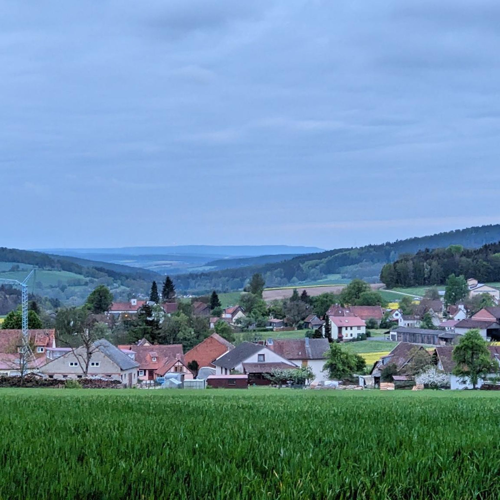
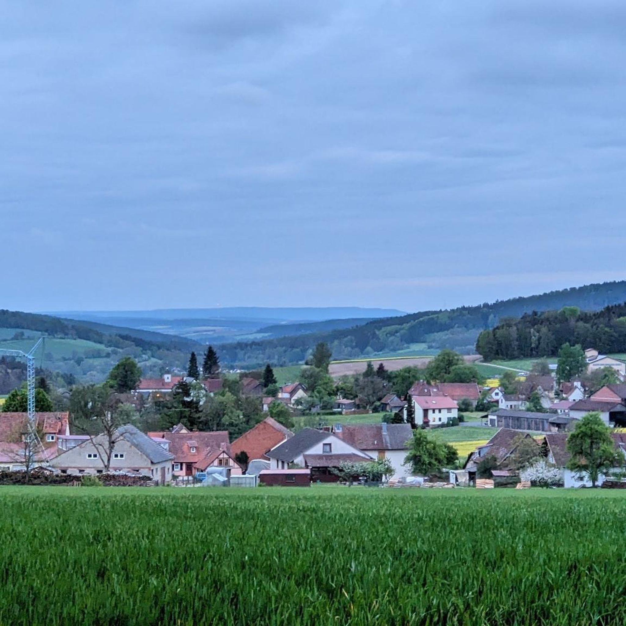
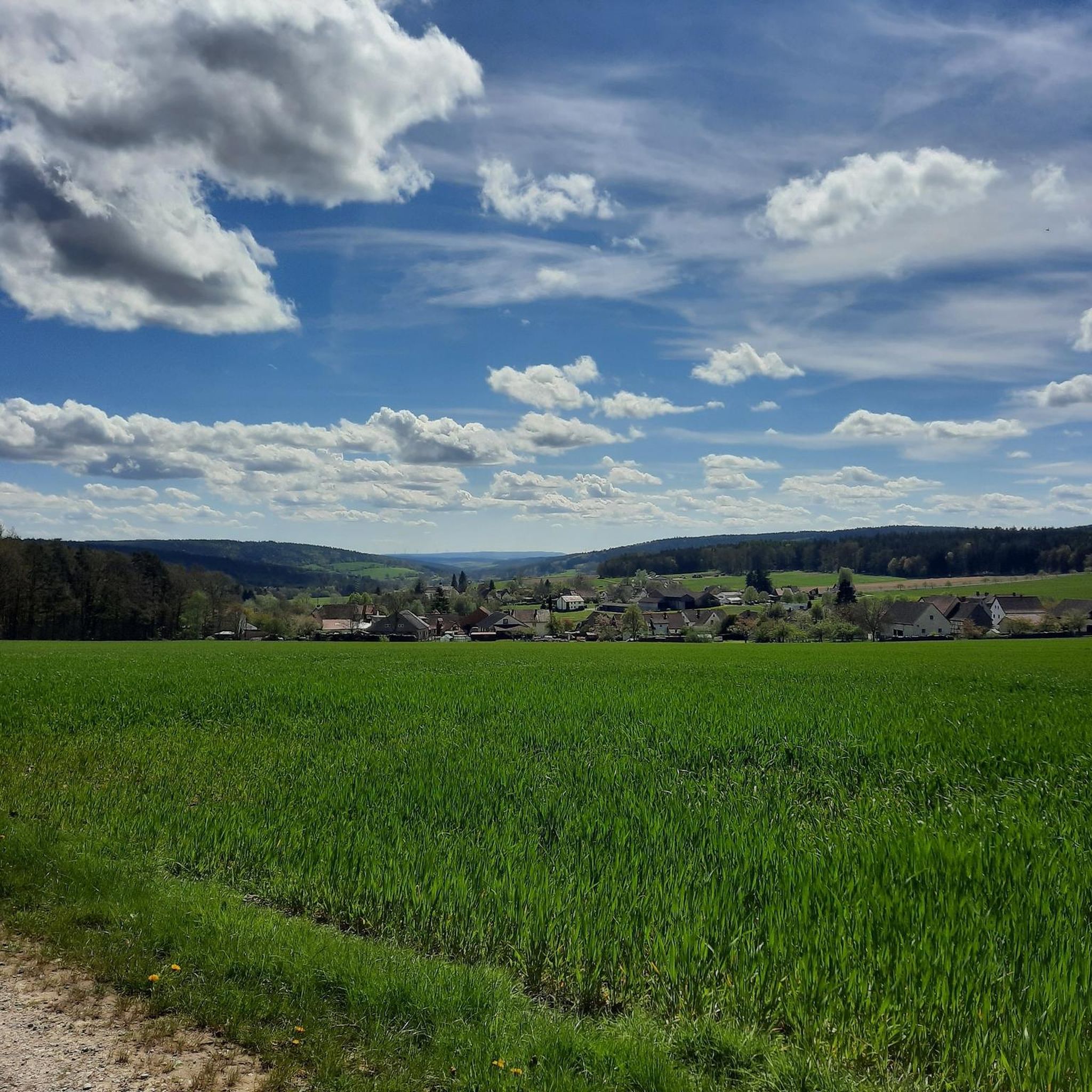
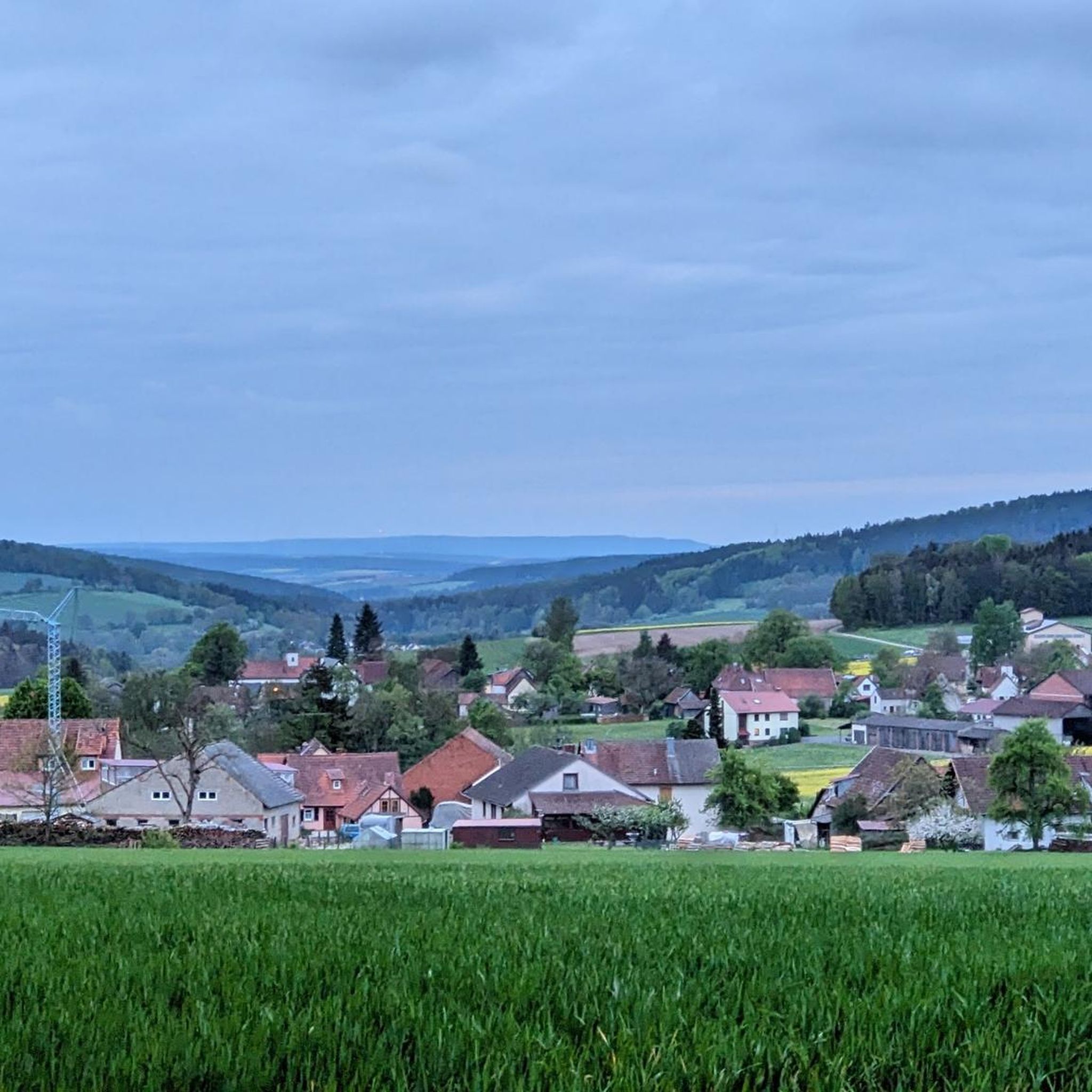
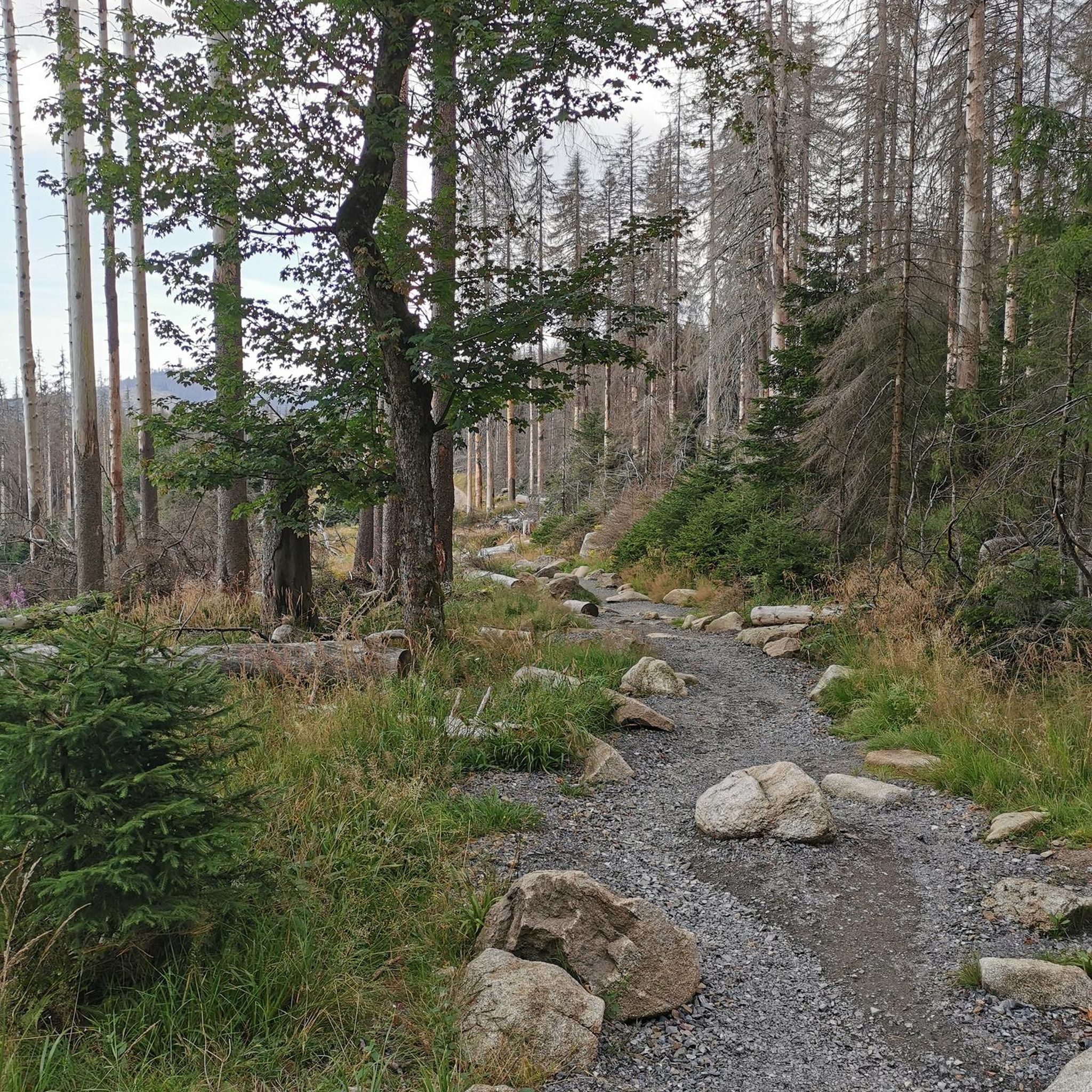
Road cycling routes around Mellrichstadter Forst traverse a 4.14 km² unpopulated and entirely forested area in Bavaria's Rhön-Grabfeld district. The region is characterized by dense woodlands, hilly landscapes, and the Sulz river, offering varied terrain for cyclists. Situated between the Rhön and Grabfeld regions, the area features predominantly paved surfaces and elevation gains that can exceed 450 meters. The highest point within the Forst is the Heufurter Kopf, reaching 516 meters above sea level.
Best road cycling routes around Mellrichstadter…
Last updated: June 29, 2026
5.0
(24)
91
riders
Moderate road ride. Good fitness required. Some segments of this route may be unpaved and difficult to ride.
5.0
(1)
60
riders
Moderate road ride. Good fitness required. Some segments of this route may be unpaved and difficult to ride.

Sign up for free
4.0
(2)
36
riders
89.7km
04:41
1,650m
1,650m
Hard road ride. Very good fitness required. Mostly well-paved surfaces and easy to ride.
38
riders
Easy road ride. Great for any fitness level. Mostly well-paved surfaces and easy to ride.
12
riders
60.0km
03:18
1,260m
1,260m
Hard road ride. Very good fitness required. Mostly well-paved surfaces and easy to ride.
Get access to more routes and recommendations from other explorers.
Sign up for free
Already have an account?
Our route recommendations are based on thousands of hikes, rides, and runs completed by other people on komoot.
Start today with a free account
Your next adventure awaits.
Login or Signup
Tips from the Community

Absolutely the best bratwurst in the area. Price stable at 3.50, so it tastes even better.
0
0

The best Thuringian food "outside" of Thuringia :-)
0
0
It's beautiful at the Streu. Great for a short relaxing walk
0
0

See alpacas Coffee Simonshof, good cakes
0
0
Always beautiful and full of memories...
0
0

good idea from the metal guild.
0
0
very good real Thuringian Bratwurst
0
0

...be sure to take some time for a break in Fladungen! There's a historic railway, a museum, and even a beer garden for a refreshing drink.
0
0
Frequently Asked Questions
How many road cycling routes are available around Mellrichstadter Forst?
There are over 100 road cycling routes available around Mellrichstadter Forst, offering a wide range of options for different skill levels and preferences. The komoot community has explored these routes extensively, with more than 1,100 road cyclists using komoot to navigate the area.
What kind of terrain can I expect on road cycling routes in Mellrichstadter Forst?
The region around Mellrichstadter Forst offers diverse terrain, characterized by dense woodlands and hilly landscapes. You can expect predominantly paved surfaces, with elevation gains that can exceed 450 meters on some routes. Rides often feature picturesque views through fields leading to higher forested areas.
Are there road cycling routes suitable for beginners or families with children?
Yes, there are routes suitable for all fitness levels. For an easier ride, consider routes like the Stockheim Wet Meadow – Gate Bridge, Ostheim vor der Rhön loop from Nordheim vor der Rhön, which is classified as easy and covers about 26 km with minimal elevation gain. The region offers 10 easy routes perfect for a more relaxed cycling experience.
What natural features or landmarks can I see along the road cycling routes?
The region is rich in natural beauty. You'll cycle through dense woodlands and past the Sulz river. The area is also close to the Rhön Biosphere Reserve, where you can find the "Schwarzes Moor" (Black Moor), a well-preserved raised bog with a nature trail. The highest point within the Forst is the Heufurter Kopf, at 516 meters above sea level.
Are there any interesting cultural or historical sites accessible by road bike?
Yes, some routes pass through or near historic areas. For instance, the Historic centre of Fladungen – Cycle Path in the Elstal Valley loop from Nordheim vor der Rhön takes you through the historic center of Fladungen. Additionally, you might encounter highlights such as the Teufelskeller (Devil’s Cellar) or the Marian Grotto at the Gangolf Chapel.
Where can I find parking for road cycling routes in Mellrichstadter Forst?
While specific parking areas for each route are detailed on individual komoot tour pages, many routes start from towns like Nordheim vor der Rhön or Fladungen, where public parking is generally available. It's advisable to check the starting point of your chosen route on komoot for the most accurate parking information.
Is public transport an option to reach the starting points of routes?
The region has local bus services connecting towns and villages. While direct public transport access to every trailhead might be limited, you can often reach larger towns near route starting points by bus. We recommend checking local public transport schedules for the Rhön-Grabfeld district to plan your journey.
Are there places to eat or stay near the road cycling routes?
Yes, the towns and villages surrounding Mellrichstadter Forst, such as Mellrichstadt, Nordheim vor der Rhön, and Fladungen, offer various options for cafes, pubs, and accommodation. You can find guesthouses like the Grundmühle Guesthouse and several huts and rest areas, including the Thuringian Hut and Eisgrabenhütte Rest Area, which are great for a break.
Are there challenging road cycling routes for experienced riders?
Absolutely. For experienced riders seeking a challenge, routes like the View of Kreuzberg – Wasserkuppe Gliding Airfield loop from Fladungen offer significant elevation gains, reaching over 1600 meters, and cover distances up to 90 km. Another demanding option is the Historic Center of Fladungen – View of Hilders loop from Nordheim vor der Rhön, with over 1200 meters of ascent.
What do other road cyclists enjoy most about road cycling in Mellrichstadter Forst?
The area is highly rated by the komoot community, with an average score of 4.7 stars from over 100 reviews. Reviewers often praise the varied landscapes, from dense woodlands to open fields, and the well-maintained, predominantly paved surfaces. The combination of challenging climbs and scenic views is frequently highlighted as a major draw.
Are there any circular road cycling routes in the area?
Yes, many of the road cycling routes around Mellrichstadter Forst are designed as loops, allowing you to start and end at the same point. Examples include the Cycle Path in the Elstal Valley – Mittelstreu–Unsleben cycle path loop from Nordheim vor der Rhön and the Historic centre of Fladungen – Cycle Path in the Elstal Valley loop from Nordheim vor der Rhön, providing convenient options for exploring the region.
What is the best time of year for road cycling in Mellrichstadter Forst?
The spring, summer, and early autumn months generally offer the most favorable conditions for road cycling in Mellrichstadter Forst. During these seasons, you can expect pleasant temperatures and lush scenery. Always check the local weather forecast before heading out, as conditions can vary.
Most popular routes around Mellrichstadter Forst
Most popular attractions around Mellrichstadter Forst

Get inspired with the komoot mobile app


Explore more
Browse the best Road cycling routes in other regions.
