The best traffic-free bike rides around Évisa
4.8
(104)
2,594
riders
4
rides
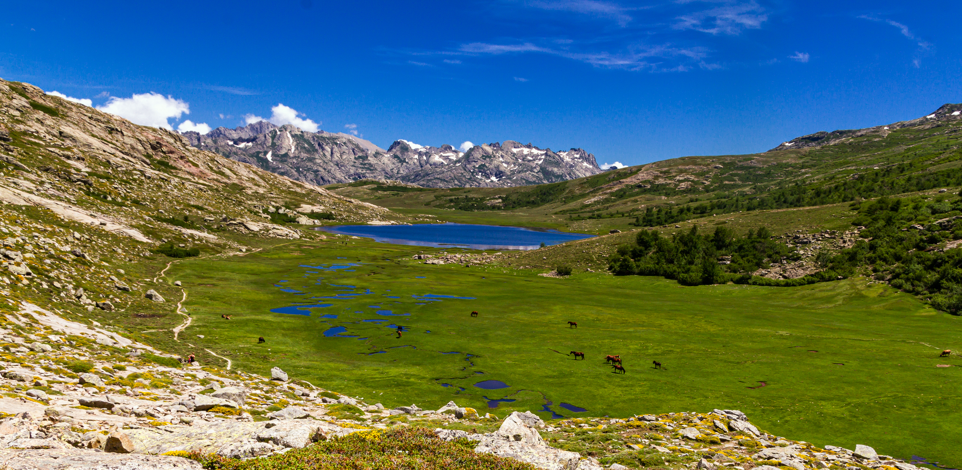
No traffic road cycling routes around Évisa traverse a mountainous landscape in southern Corsica, situated at an altitude of approximately 850 meters. The region is characterized by dramatic mountainous terrain, featuring deep valleys, high passes like Col de Vergio, and dense forests such as Aïtone Forest. Roads wind through gorges and offer views of the Gulf of Porto and the red rock formations of Calanques de Piana. This environment provides varied elevation changes and scenic backdrops for road cyclists.
Best…
Last updated: August 29, 2026
4.0
(1)
10
riders
24.1km
01:18
480m
480m
Moderate road ride. Good fitness required. Mostly well-paved surfaces and easy to ride.
5.0
(22)
856
riders
130km
07:48
3,060m
3,060m
Hard road ride. Very good fitness required. Some segments of this route may be unpaved and difficult to ride.

Sign up for free
5.0
(3)
24
riders
10.3km
00:39
310m
310m
Moderate road ride. Good fitness required. Mostly well-paved surfaces and easy to ride.
5.0
(1)
11
riders
16.3km
01:02
440m
440m
Hard road ride. Good fitness required. You may need to push your bike for some segments of this route.
Our route recommendations are based on thousands of hikes, rides, and runs completed by other people on komoot.
Start today with a free account
Your next adventure awaits.
Login or Signup
Other adventures around Évisa

Tips from the Community

Here you can take a refreshing bath
0
0

A great place for swimming. You can swim perfectly 🏊♂️ in the 2-3 meter deep, clear water.
1
0

A very beautiful route, with a good amount of elevation gain. From Porto to Ota, 350 meters of elevation gain, half of which you'll then lose again, until you cross the valley at the confluence of the Lorca and Tavulella rivers. From there, it's a steep climb again.
0
0

Great view of the valley, nice ascent/descent and good asphalt. After Ota, unfortunately, the asphalt is not so good.
0
0

Beautiful town, great end to a small tour from Porto to the bridge and then to Ota
0
0


At the moment (March 2024) you need to be very careful on the path from Ota along the river. Several landslides have washed away large parts of the path. The scree fields should be crossed with caution. Unfortunately, this applies to the path before and after the bridge.
1
0

The Vergio Pass culminates at 1,467 meters above sea level. It connects Haute-Corse and Corse-du-Sud, as well as the two sides of the island, from the interior. It is one of the meeting points between the GR 20 and the GT 20.
1
1
Frequently Asked Questions
How many no-traffic road cycling routes are available around Évisa?
There are 3 moderate no-traffic road cycling routes around Évisa, offering diverse experiences through the region's stunning landscapes. These routes are highly rated by the komoot community, with an average score of 4.8 stars.
What kind of terrain and elevation can I expect on these routes?
The no-traffic road cycling routes around Évisa feature moderate difficulty, with elevation gains ranging from approximately 310 meters to 480 meters. For example, the Ota – Ota village loop from Porto has about 310 meters of ascent, while the Calacuccia — lake loop climbs around 480 meters, providing rewarding challenges amidst scenic mountain roads.
Are there any circular no-traffic road cycling routes near Évisa?
Yes, all the no-traffic road cycling routes around Évisa are designed as circular loops. You can enjoy routes like the Calacuccia — lake loop, which takes you around the lake, or the Ota – Ota village loop from Accueil camping, offering a complete circuit back to your starting point.
What natural features or landmarks can I see along these routes?
The Évisa region is rich in natural beauty. While cycling, you'll be close to the impressive Spelunca gorges and the majestic Aïtone Forest, known for its ancient laricio pines. You might also encounter the Ponte Vecchiu (Fango) bridge or enjoy views of the Fango River Valley.
Are there any waterfalls or natural pools accessible from the cycling routes?
Yes, the area around Évisa is known for its refreshing natural pools and waterfalls. The Aïtone Natural Pools are a popular spot within the Aïtone Forest, perfect for a refreshing dip. You can also find other beautiful cascades like the Radule waterfall nearby.
What is the best time of year for no-traffic road cycling in Évisa?
Évisa, perched at 850 meters, offers pleasant conditions for road cycling from late spring through early autumn. The summer months provide warm weather, while spring and autumn offer cooler temperatures and vibrant landscapes. Winter can bring snow to higher elevations like the Col de Vergio, making some routes less accessible.
Is Évisa a good base for exploring other parts of Corsica by bike, like the GT20?
Évisa's strategic location makes it an excellent base for exploring Corsica's mountainous interior. While not directly on the GT20, its proximity to major passes like Col de Vergio and scenic routes suggests it could be a crucial point or starting base for segments of this 600 km cycle touring route, allowing you to connect with the island's diverse landscapes.
Are there family-friendly no-traffic road cycling options in Évisa?
While all current no-traffic routes are rated moderate due to elevation, the shorter loops like the Ota – Ota village loop from Porto (10 km with 310m elevation) could be suitable for families with older, experienced children. Always assess the family's fitness level and consider the elevation gain before setting out.
Where can I find parking for my car when starting a road cycling route in Évisa?
Évisa is a small mountain village, and parking is generally available within or at the edges of the village. For specific routes, it's advisable to check the route details on komoot for recommended starting points and parking information, especially if you're beginning a loop from a specific village or campsite.
What do other cyclists enjoy most about road cycling in Évisa?
The komoot community highly rates road cycling in Évisa, with an average score of 4.8 stars. Reviewers often praise the stunning panoramic views, the challenge of the mountain passes, and the tranquility of the 'no traffic' roads that allow for an immersive experience in Corsica's wild and beautiful interior.
Can I combine a road cycling trip with a visit to the coast or other attractions?
Absolutely. Évisa's location offers the best of both worlds. You can enjoy challenging mountain rides and then easily reach the stunning Calanques de Piana, a UNESCO World Heritage site, or the beaches of Porto and Sagone, which are only about 30-40 minutes away by car, allowing for a diverse outdoor adventure.
Most popular attractions around Évisa

Get inspired with the komoot mobile app


Explore more
Browse the best Road cycling routes in other regions.
