The best traffic-free bike rides around Genweiler
4.4
(68)
1,662
riders
27
rides
Road cycling around Genweiler offers a diverse landscape characterized by rolling hills, picturesque valleys, and forested areas, providing varied terrain for cyclists. The region features a network of routes that traverse both open countryside and more secluded sections, often following river courses like the Saar. Elevations are generally moderate, with some routes including gradual climbs that add to the cycling experience. This area is well-suited for those seeking no traffic road cycling routes with a mix of scenic views and engaging topography.
Best no traffic road cycling routes around Genweiler
- The most popular no traffic road cycling route is Along the Saar – Start of the Canal de la Sarre loop from Hohwarte, a 28.9 miles (46.5 km) trail that takes 2 hours 46 minutes to complete, featuring moderate climbs and scenic river views.
- Another top favourite among local road cyclists is Denkmal für die Gefallenen 🕊️ – War Memorial and Clock Tower loop from Saint-Avold, a moderate 36.9 miles (59.4 km) path that winds through varied terrain with historical landmarks.
- Local road cyclists also love the Lower Hoste Pond – Étang de Welschhof loop from Farschviller, a 52.2 miles (84.0 km) trail leading through forested areas and past tranquil ponds, often completed in about 3 hours 42 minutes.
- Road cycling around Genweiler is defined by rolling hills, river valleys, and stretches of woodland, offering a range of options for different ability levels.
- The routes in Genweiler are highly rated by the komoot community with an average score of 4.3 stars from over 60 reviews. More than 1,800 road cyclists have used komoot to explore Genweiler's varied terrain.
Last updated: July 6, 2026
5.0
(1)
24
riders
59.4km
02:34
460m
460m
Moderate road ride. Good fitness required. Mostly well-paved surfaces and easy to ride.
4.0
(1)
25
riders
88.3km
04:01
690m
690m
Moderate road ride. Good fitness required. Mostly well-paved surfaces and easy to ride.

Sign up for free
5.0
(1)
9
riders
33.5km
01:43
360m
360m
Moderate road ride. Good fitness required. Mostly well-paved surfaces and easy to ride.
8
riders
77.9km
03:24
620m
620m
Moderate road ride. Good fitness required. Mostly well-paved surfaces and easy to ride.
9
riders
49.2km
03:01
550m
550m
Moderate road ride. Good fitness required. Some segments of this route may be unpaved and difficult to ride.
Get access to more routes and recommendations from other explorers.
Sign up for free
Already have an account?
Our route recommendations are based on thousands of hikes, rides, and runs completed by other people on komoot.
Start today with a free account
Your next adventure awaits.
Login or Signup
Popular around Genweiler
Tips from the Community

Nice little patisserie, a good way to refuel with carbohydrates.
0
0

The Hoste Bas pond borders the Hoste Haut pond. It was part of the Maginot Line defense system. Today, they are home to numerous species of fish, much to the delight of anglers.
0
1

This is a religious mound with artefacts all around it. Just before you reach Tenteling, France. It invites you to stop and look to see what it actually ise
0
0

One of the large ponds in the area, here with a beautiful view 🇫🇷🛥️
0
0

A pleasant setting for a stroll between the water and the forest. The lake is a kilometer and a half long.
0
0

A subtle hint about the distance if you are planning a longer bike tour 😉
0
0
Memorial to the fallen of the two world wars 🕊️
0
0
Memorial to the fallen of the two world wars 🕊️
0
0
Frequently Asked Questions
How many no-traffic road cycling routes are available around Genweiler?
There are over 25 dedicated no-traffic road cycling routes around Genweiler, offering a variety of distances and elevations to explore. The majority of these routes are classified as moderate, providing a good balance for most road cyclists.
What kind of terrain can I expect on these no-traffic road cycling routes?
The region around Genweiler, similar to areas like Winnweiler and Annweiler am Trifels, features a varied landscape of rolling hills and picturesque valleys. You can expect well-paved surfaces with a mix of flat sections and some challenging climbs, offering diverse experiences for road cyclists.
Are there any scenic viewpoints or landmarks along the no-traffic routes?
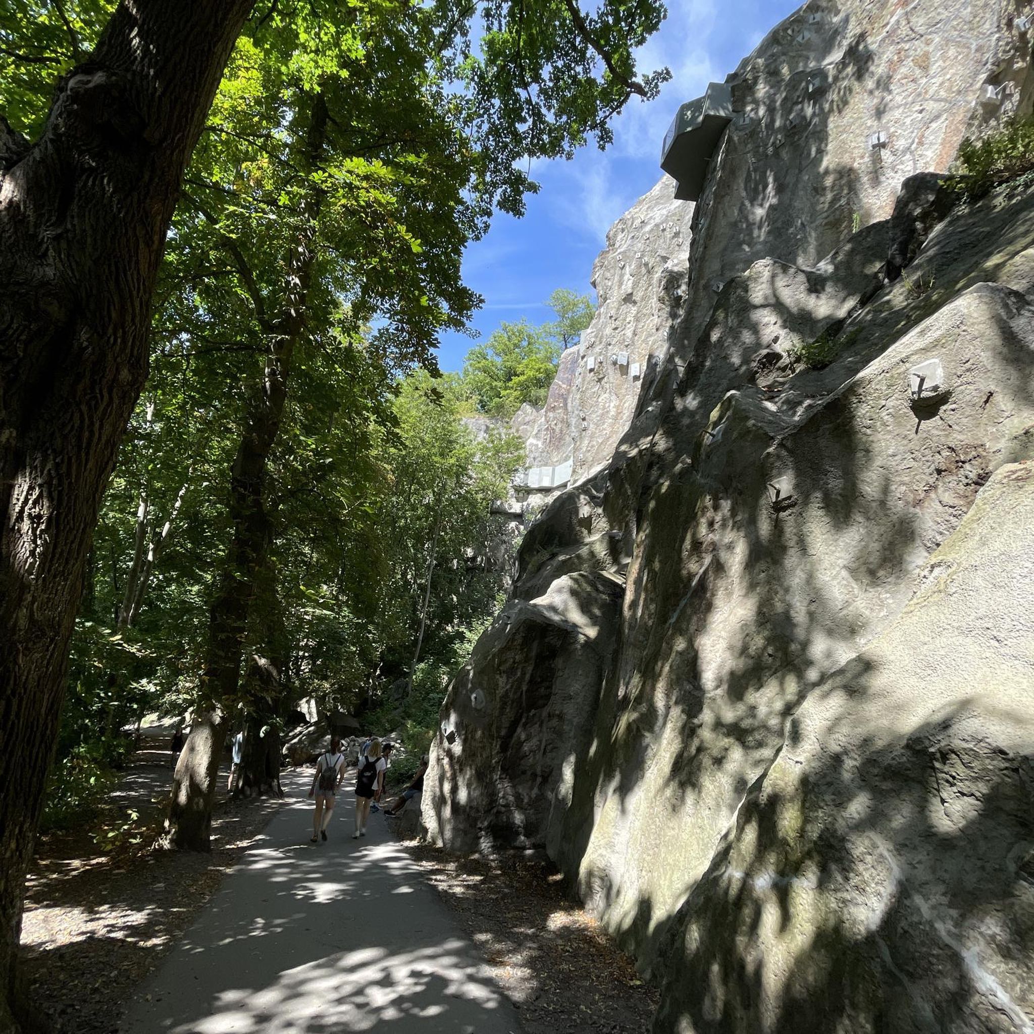
Yes, several routes offer access to scenic spots. For instance, you might encounter viewpoints like the Panoramic Platform at Barrois Quarry, or natural monuments such as the Barrois Quarry itself. These provide excellent opportunities to pause and enjoy the surroundings.
What do other road cyclists say about the no-traffic routes in this area?
The no-traffic road cycling routes around Genweiler are highly rated by the komoot community, with an average score of 4.3 stars. Cyclists often praise the quiet roads, varied terrain, and the opportunity to enjoy the landscape without vehicle interference.
Are there any circular no-traffic road cycling routes?
Many of the routes are designed as loops, allowing you to start and finish at the same point. An example is the "Along the Saar – Start of the Canal de la Sarre loop from Hohwarte," which offers a moderate ride through the scenic landscape.
What is the best season for road cycling around Genweiler?
Spring and autumn are generally considered the best seasons for road cycling in this region due to mild weather and vibrant landscapes. The cooler temperatures and often clearer skies make for very pleasant riding conditions.
Are there any routes suitable for beginners or families looking for an easy ride?
While most routes are moderate, there are a couple of easier options available. These routes typically feature less elevation gain and shorter distances, making them more accessible for those new to road cycling or looking for a relaxed family outing. Always check the route details for specific difficulty ratings.
Where can I find parking for these no-traffic road cycling routes?
Parking availability varies by starting point. Many routes begin near towns or villages where public parking is often available. For specific routes, it's advisable to check the route description on komoot for suggested parking locations near the trailhead.
Are there places to stop for refreshments or amenities along the routes?
Yes, many routes pass through or near villages and towns where you can find cafes, restaurants, and other amenities. For example, the "Denkmal für die Gefallenen 🕊️ – War Memorial and Clock Tower loop from Saint-Avold" route will take you through areas with potential stops. It's always a good idea to check the map for points of interest before you set off.
Can I find longer no-traffic routes for more experienced road cyclists?
Absolutely. For those seeking a longer challenge, routes like the "Start of the Canal de la Sarre – Along the Saar loop from Lixing-lès-Saint-Avold" offer significant distances and elevation gains, providing a rewarding experience for experienced riders.
Are there any natural water features like lakes to see along the routes?
Yes, some routes will bring you close to beautiful water features. For instance, the "Lower Hoste Pond – Étang de Welschhof loop from Farschviller" specifically highlights a pond. You can also find highlights like Nikolausweiher and Lower Hoste Pond in the wider area.
Most popular attractions around Genweiler

Get inspired with the komoot mobile app


Explore more
Browse the best Road cycling routes in other regions.
