The best traffic-free bike rides around Hilsprich
4.5
(2)
50
riders
32
rides
Gravel biking around Hilsprich offers diverse terrain, including quiet country roads, white forest tracks, and farm paths. The region is characterized by extensive woodlands, providing shaded routes, and features waterways like the Buschbach stream and various ponds. Riders can expect varied topography with gentle elevation changes, allowing for routes that cater to different fitness levels. This mix of rural and agricultural scenery provides an ideal setting for exploring away from busy roads.
Best no traffic gravel bike trails around Hilsprich
- The most popular no traffic gravel bike trail is Sarralbe Town Centre – Étang d hirchbach loop from Farschviller, a 52.8 miles (84.9 km) trail that takes 5 hours 30 minutes to complete, exploring rural landscapes and waterways.
- Another top favourite among local gravel bikers is Étang de Welschhof – Welschhof Pond loop from Grundviller, a moderate 29.0 miles (46.7 km) path winding through forests and past ponds.
- Local gravel bikers also love the Monument of the Forest Path – Biding Panorama loop from Farschviller, a 20.2 miles (32.5 km) trail leading through woodlands and offering panoramic views, often completed in about 2 hours 21 minutes.
- Gravel biking around Hilsprich is defined by quiet country roads, white forest tracks, and waterways. The network offers options for various ability levels, from leisurely rides to more challenging excursions.
- The guide includes highly-rated routes that showcase the best of the region's landscape. More than 34 gravel bikers have used komoot to explore Hilsprich's varied terrain.
Last updated: July 6, 2026
14
riders
84.9km
05:31
690m
690m
Hard gravel ride. Very good fitness required. Mostly paved surfaces. Suitable for all skill levels.
4.0
(1)
10
riders
56.3km
03:27
450m
450m
Moderate gravel ride. Good fitness required. Mostly paved surfaces. Suitable for all skill levels.

Sign up for free
8
riders
46.7km
02:57
390m
390m
Moderate gravel ride. Good fitness required. Mostly paved surfaces. Suitable for all skill levels.
5.0
(1)
4
riders
32.5km
02:21
280m
280m
Moderate gravel ride. Good fitness required. Mostly paved surfaces. Suitable for all skill levels.
6
riders
65.1km
04:38
570m
570m
Hard gravel ride. Very good fitness required. You may need to push your bike for some segments of this route.
Get access to more routes and recommendations from other explorers.
Sign up for free
Already have an account?
Our route recommendations are based on thousands of hikes, rides, and runs completed by other people on komoot.
Start today with a free account
Your next adventure awaits.
Login or Signup
Popular around Hilsprich
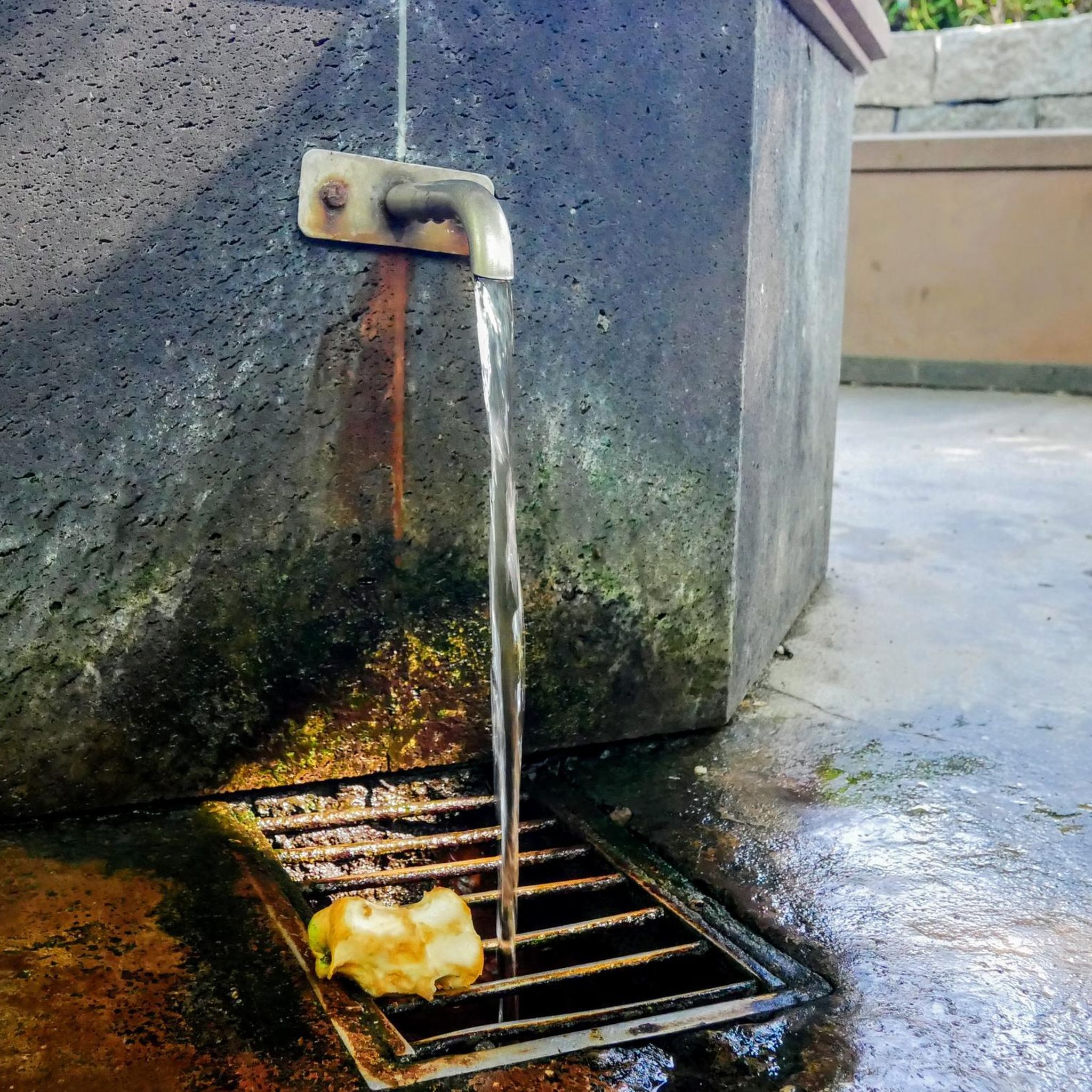
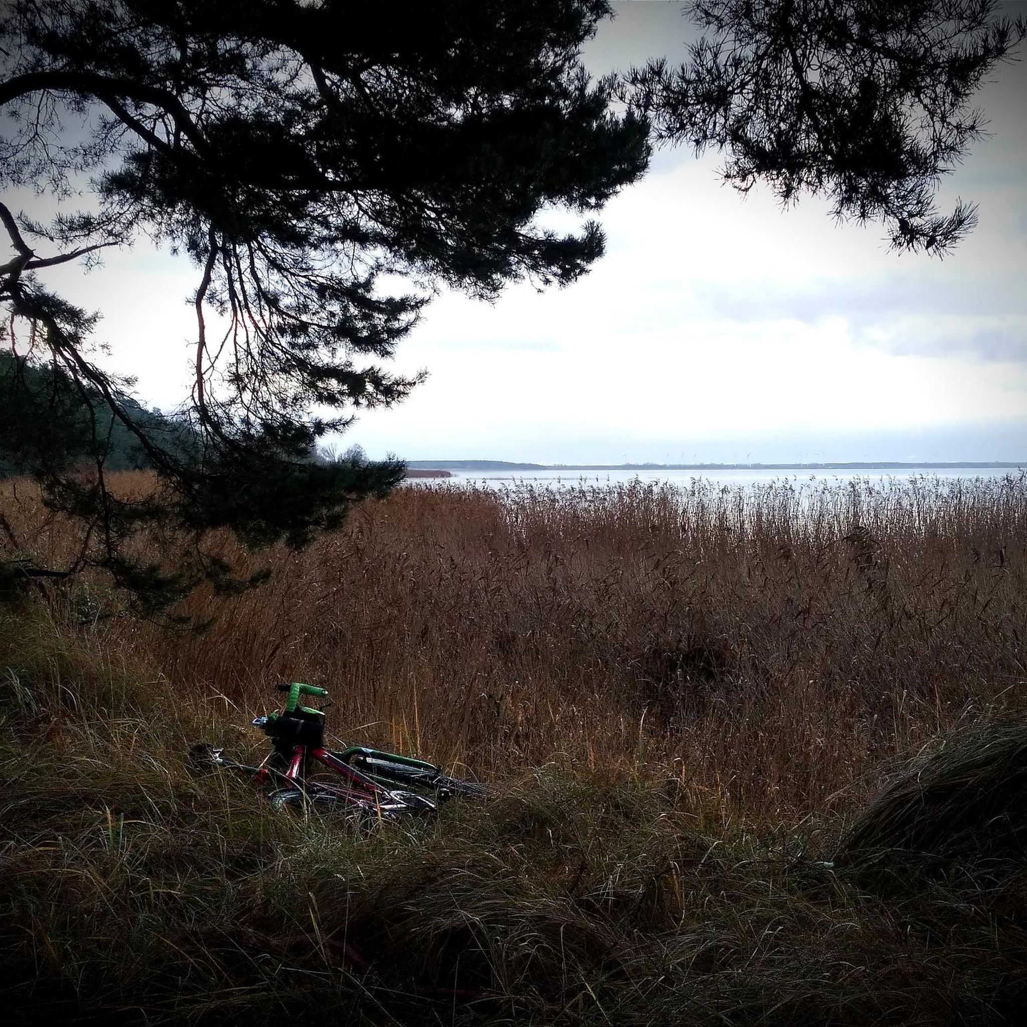
Tips from the Community

Viewpoint from one of the many bunkers along the Marginot Line. On a clear day, the view from here is fantastic, stretching all the way to the nearby Vosges Mountains. Even the Donon and Dabo peaks are easily visible to the naked eye. This shady spot with its bench is also perfect for a short break.
0
0

The Hoste Bas pond borders the Hoste Haut pond. It was part of the Maginot Line defense system. Today, they are home to numerous species of fish, much to the delight of anglers.
0
1
The cycle path runs along the Sarralbe river stop. There are picnic tables for a break.
0
0
The Welschof Pond is a little corner of paradise for fishermen and ducks. It was built in the 1930s to serve as a reservoir for the Maginot Line's defensive flood control system.
1
0
The Diefenbach Pond covers 75 hectares and is one of the must-see sites along the aquatic Maginot Line. It is home to a wide variety of wildlife. It's not uncommon to encounter ducks, geese, and herons on the banks while strolling.
0
0

Farébersviller (German: Pfarrebersweiler) is a French commune with 5,316 inhabitants (1 January 2021) in the Moselle department in the Grand Est region (until 2015 Lorraine). It belongs to the arrondissement of Forbach-Boulay-Moselle, the canton of Freyming-Merlebach and the Freyming-Merlebach municipal association founded in 2001. Pfarrebersweiler belonged to the Duchy of Lorraine since 1581, which fell to France according to a treaty after the death of Stanislaus I on 23 February 1766. From 1871, following the defeat in the Franco-Prussian War, Pfarrebersweiler was part of the Imperial Territory of Alsace-Lorraine within the German Empire. After losing the First World War, the German Empire had to cede Alsace-Lorraine to France again under the terms of the Treaty of Versailles. After a further 22 years, German troops marched into the town again. Thus, Farébersviller, now Pfarrebersweiler again, was effectively annexed like the rest of Alsace-Lorraine. The town returned to France in 1944 and was given its French name again.
1
0

Impressive church in the town with the beautiful city gate.
2
0
Frequently Asked Questions
How many no-traffic gravel bike trails are available around Hilsprich?
There are over 30 dedicated no-traffic gravel bike trails around Hilsprich, offering a wide range of options for different skill levels and preferences. You'll find everything from shorter, moderate rides to longer, more challenging routes.
What kind of terrain can I expect on Hilsprich's no-traffic gravel trails?
The no-traffic gravel trails around Hilsprich offer a diverse mix of terrain. You can expect quiet country roads, white forest tracks, farm paths, and smooth, rolling trails. This variety provides an engaging experience, immersing you in the region's extensive forests and rural landscapes.
Are there any easy no-traffic gravel routes suitable for beginners or families in Hilsprich?
Yes, Hilsprich offers a few easier no-traffic gravel routes perfect for beginners or families. These trails typically feature gentler elevation changes and smoother surfaces, allowing for a relaxed ride through the scenic countryside. While specific easy routes are not detailed here, you can find options among the available trails.
What are some notable natural features or viewpoints along the gravel trails?
Many gravel trails in the Hilsprich area pass by picturesque waterways and ponds. You might encounter the Buschbach stream or ride near notable bodies of water like the Lower Hoste Pond or Welschhof Pond. These offer serene views and great spots for a break.
Can I find circular no-traffic gravel bike routes in Hilsprich?
Yes, many of the no-traffic gravel bike routes around Hilsprich are designed as circular loops, allowing you to start and finish at the same point. For example, consider the challenging Sarralbe Town Centre – Étang d hirchbach loop from Farschviller, which offers a substantial ride through varied landscapes.
Are there any historical sites or landmarks I can visit while gravel biking?
Absolutely! The region around Hilsprich has a rich history. You can combine your ride with visits to historical sites like the Maginot Line bunkers in the vicinity. For a route that includes a historical element, check out the difficult Lower Hoste Pond – The Maginot Fort at Barst loop from Diffembach-lès-Hellimer.
What is the best time of year to go gravel biking in Hilsprich?
Spring and autumn are generally ideal for gravel biking in Hilsprich. The weather is typically mild, and the natural scenery, with blooming flowers or vibrant fall foliage, is particularly beautiful. Summer can also be pleasant, especially on shaded forest tracks, but be mindful of warmer temperatures. Winter rides are possible, but trail conditions may vary with snow or ice.
Are there any long-distance no-traffic gravel routes for experienced riders?
Experienced riders looking for longer, more challenging no-traffic gravel routes will find several options. For instance, the Mine Wendel – La Mine, Carreau Wendel loop from Farschviller is a difficult route spanning over 62 km with significant elevation gain, offering a rewarding adventure.
Where can I find places to rest or refresh along the trails?
While specific cafes or pubs directly on the trails might be limited, many routes pass through or near local towns and villages like Sarralbe. These communities often provide opportunities for rest and refreshment. The Sarralbe Town Centre itself is a notable highlight that can serve as a starting or ending point with amenities.
Are there any moderate no-traffic gravel routes for intermediate riders?
Yes, intermediate riders will find a good selection of moderate no-traffic gravel routes. These trails offer a balance of distance and elevation, providing a good workout without being overly strenuous. An example is the Monument of the Forest Path – Biding Panorama loop from Farschviller, a 32.5 km route with moderate difficulty.
What makes the gravel biking experience in Hilsprich unique?
The gravel biking experience in Hilsprich is unique due to its blend of diverse, low-traffic terrain – from quiet country roads to extensive forest tracks – and the opportunity to explore both natural beauty and historical sites like the Maginot Line. The region's varied landscapes, including waterways and rural scenery, ensure an immersive and adventurous ride away from busy roads.
Most popular attractions around Hilsprich

Get inspired with the komoot mobile app


Explore more
Browse the best Gravel rides in other regions.
