The best traffic-free bike rides around Barret-Sur-Méouge
4.6
(154)
3,123
riders
20
rides
Road cycling around Barret-Sur-Méouge is characterized by a diverse landscape where alpine and Mediterranean influences converge. The region features deep, winding gorges carved by rivers, dramatic limestone cliffs, and wild valleys. To the north, the Montagne de Chabre rises, contributing to the varied terrain of mid-mountains and dry grasslands. This environment provides a range of no traffic road cycling routes suitable for different skill levels.
Best no traffic road cycling routes around Barret-Sur-Méouge
- The most popular no traffic road cycling…
Last updated: July 5, 2026
4.6
(19)
169
riders
75.1km
03:29
930m
930m
Hard road ride. Very good fitness required. Mostly well-paved surfaces and easy to ride.
4.5
(2)
71
riders
44.7km
02:23
890m
890m
Moderate road ride. Good fitness required. Mostly well-paved surfaces and easy to ride.

Sign up for free
4.0
(1)
45
riders
44.4km
02:49
970m
970m
Hard road ride. Very good fitness required. Some segments of this route may be unpaved and difficult to ride.
23
riders
35.0km
01:43
540m
540m
Moderate road ride. Good fitness required. Mostly well-paved surfaces and easy to ride.
4.5
(2)
15
riders
31.3km
01:24
330m
330m
Moderate road ride. Good fitness required. Mostly well-paved surfaces and easy to ride.
Get access to more routes and recommendations from other explorers.
Sign up for free
Already have an account?
Our route recommendations are based on thousands of hikes, rides, and runs completed by other people on komoot.
Start today with a free account
Your next adventure awaits.
Login or Signup



Tips from the Community

For cyclists: * West side (Montauban-sur-l’Ouvèze / La Combe): 11-12.5 km with an average gradient of around 5%, maximum about 9%. Steady climb, never extreme. * East side (Laborel): 8.5 km at 5.6% on average, with peaks up to 7.7%. This is the shorter and smoother side.
11
0
Col de Perty is located in the Baronnies Provençales massif, in the Drôme department, in the Auvergne-Rhône-Alpes region, in the southeast of France. It reaches an altitude of 1,302 m and connects the Ouvèze valley with the Orpierre area, in the Hautes-Alpes.
11
0
Altitude: 1,159 m * Region: Drôme, on the border with the Hautes-Alpes department. * Connects: the villages of Laborel and Lachau with the Céans valley.
5
0
Secondary road with excellent asphalt.
8
0
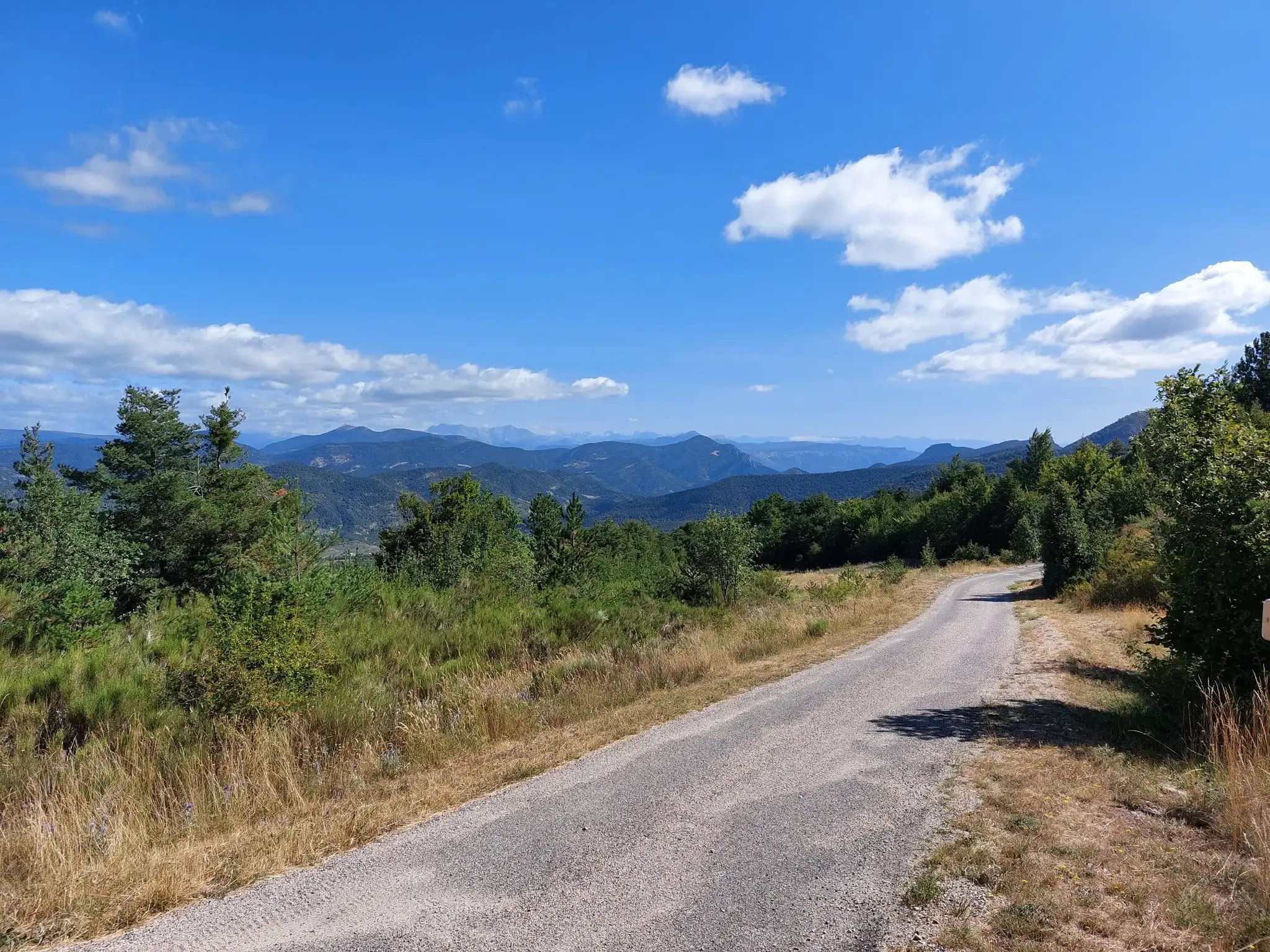
Panoramic viewpoint for memorable photos
9
0
The Col du Reychasset is a pass located at an altitude of 1,052 m, in the Drôme department, within the Regional Natural Park of the Baronnies provençales. It connects the Armalause valley with the Céans valley, between the municipalities of Chauvac-Laux-Montaux and Villebois-les-Pins.
9
0
Very beautiful square. The fountain is well designed.
14
0
Orpierre is a small medieval village located in the Hautes-Alpes department in the Provence-Alpes-Côte d’Azur region of southeastern France. It has a population of between 300 and 330 inhabitants and stands in the Céans valley, surrounded by limestone cliffs and mountains that give it a unique landscape setting.
17
0
Frequently Asked Questions
How many no-traffic road cycling routes are available around Barret-Sur-Méouge?
There are over 25 dedicated no-traffic road cycling routes around Barret-Sur-Méouge, catering to various skill levels. You'll find a good mix, with 3 easy, 14 moderate, and 8 difficult routes to explore.
What kind of terrain can I expect on these no-traffic road cycling routes?
The region offers a diverse topography, from wild valleys and mid-mountains to the dramatic Gorges de la Méouge. You can expect varied gradients, including challenging ascents like the Saint-Jean Pass, which climbs with slopes often approaching 7%.
Are there any circular no-traffic road cycling routes in the area?
Yes, Barret-Sur-Méouge offers several circular routes. For example, the Serres – Montjay loop from Orpierre is a moderate 56 km ride, or the Orpierre loop from Orpierre offers a shorter 29 km option.
What are some scenic viewpoints or natural attractions along the no-traffic routes?
Many routes offer stunning views of the Gorges de la Méouge, a Natura 2000 classified reserve with dramatic limestone cliffs and turquoise waters. You can also find highlights like the View from the Summit of Rocher de Saint-Michel or the picturesque Méouge Gorge Route itself.
Are there any challenging mountain passes accessible on these no-traffic road cycling routes?
Absolutely. The region is known for its challenging climbs. You can tackle ascents like the Saint-Jean Pass, which reaches 1,159 meters, or the Col de Pierre Vesce. The Ascent to Col de Perty – Perty Pass loop from Orpierre is a difficult route with nearly 1800m of elevation gain.
What is the best time of year to go road cycling in Barret-Sur-Méouge?
The region benefits from both alpine and Mediterranean influences, making spring and autumn ideal for road cycling. The weather is generally pleasant, and the natural landscapes are particularly vibrant. Summer can also be good, especially for enjoying the natural pools in the Méouge river after a ride.
Are there opportunities for wild swimming near the cycling routes?
Yes, the Gorges de la Méouge are famous for their natural pools and turquoise waters, offering excellent spots for wild swimming. Look for highlights like Swimming spots and waterfalls in the Méouge Gorge, which are easily accessible from many cycling routes.
What do other road cyclists enjoy most about cycling in Barret-Sur-Méouge?
The komoot community highly rates the routes around Barret-Sur-Méouge, with an average score of 4.5 stars from over 129 ratings. Cyclists often praise the stunning natural beauty of the Gorges de la Méouge, the quiet, traffic-free roads, and the variety of routes from moderate to challenging mountain passes.
Are there any historical or cultural landmarks to see along the routes?
Beyond the natural beauty, you can discover historical elements. The area features a beautiful three-arched Romanesque bridge spanning the Méouge river, as well as ruins of an old mill and the Chapelle des Pénitents, offering glimpses into the region's past.
Are there any easy no-traffic road cycling routes suitable for beginners?
Yes, there are easy routes available. While specific beginner-focused routes aren't detailed, the Gorges de la Méouge road itself offers a pleasant 10-kilometer ride with a slight gradient, suitable for various skill levels. Overall, 3 of the 25 routes are rated as easy.
What are the typical distances and elevation gains for no-traffic road cycling routes here?
Routes vary significantly. You can find moderate rides like the Ascent to Col de Perty – Perty Pass loop from Nossage-et-Bénévent, which is 41 km with about 690 m of elevation gain. More difficult routes, such as the Buesch dam – Orpierre loop from Orpierre, can be over 80 km with more than 1200 m of climbing.
Most popular routes around Barret-Sur-Méouge
Most popular attractions around Barret-Sur-Méouge

Get inspired with the komoot mobile app


Explore more
Browse the best Road cycling routes in other regions.
