The best road cycling routes around Mehrnbach
4.6
(140)
2,652
riders
333
rides
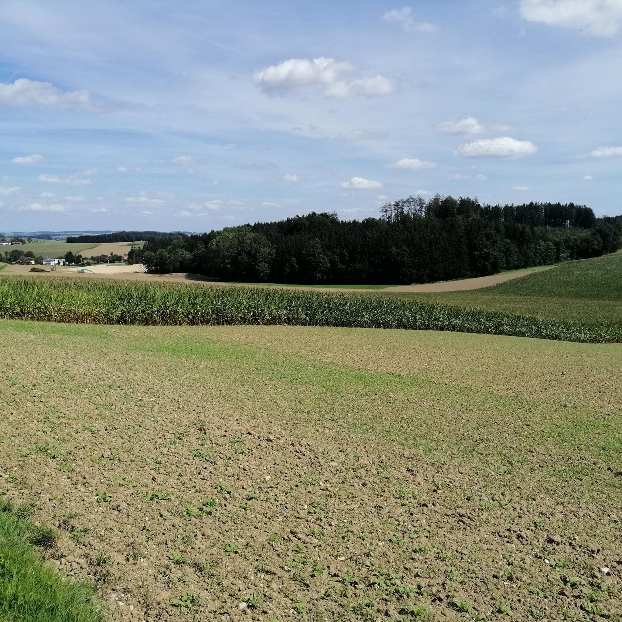
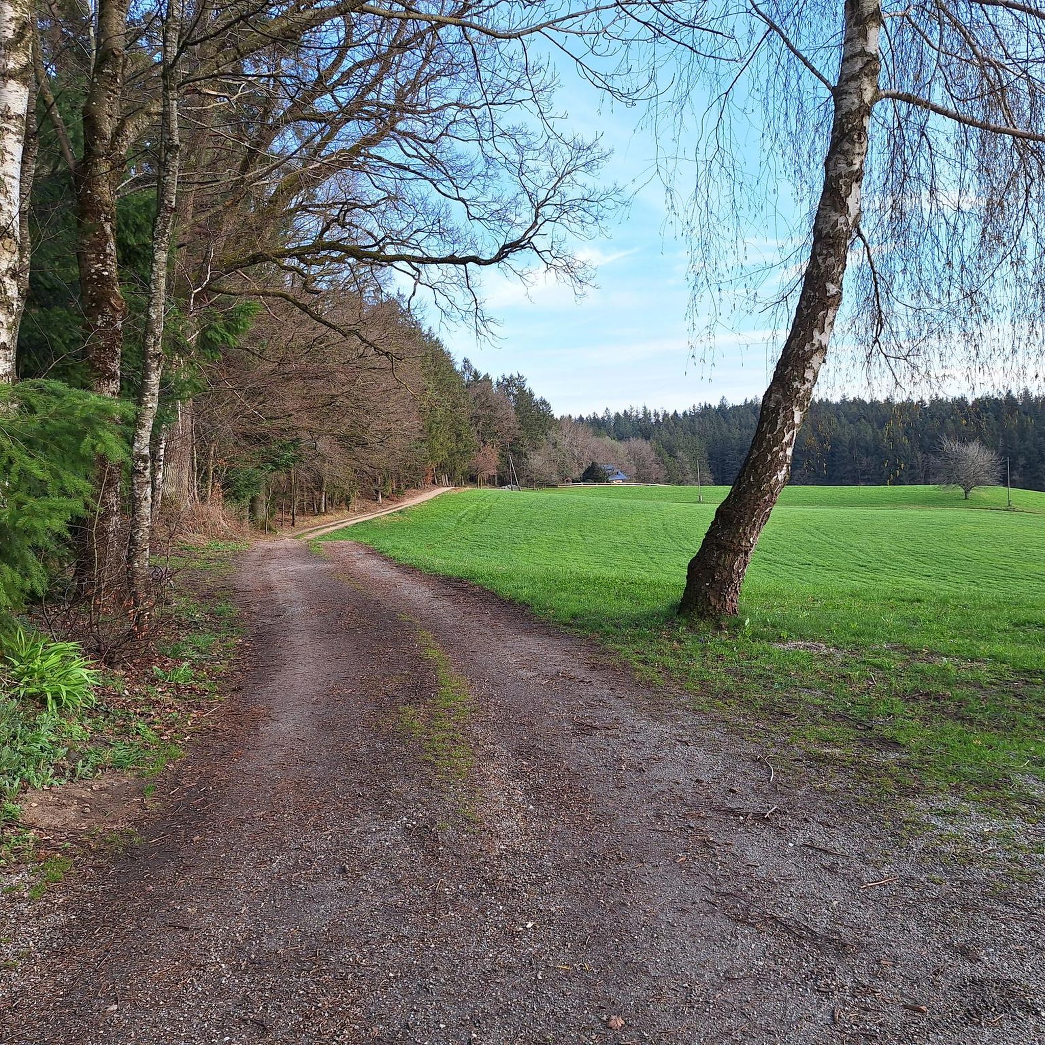
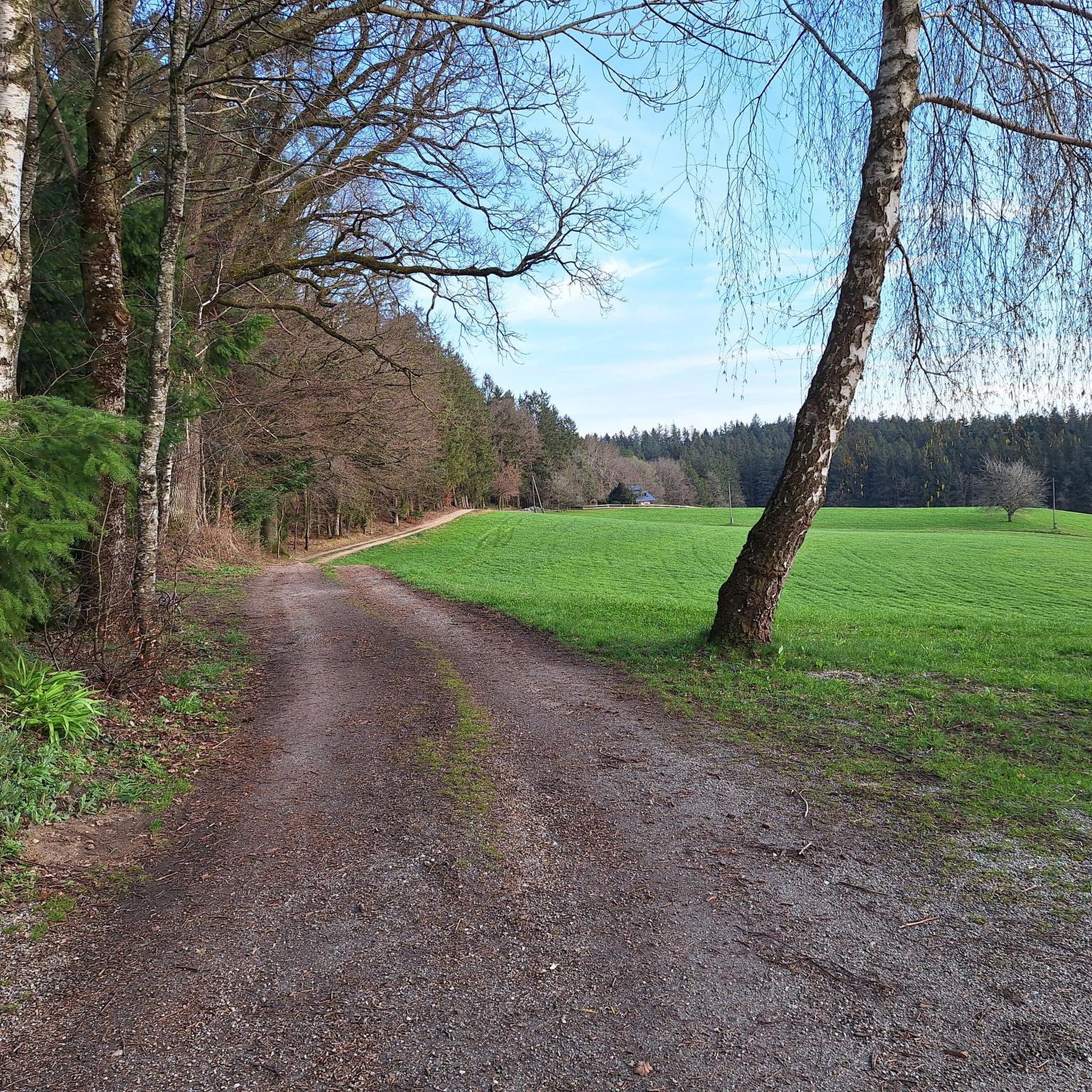
Road cycling routes around Mehrnbach traverse the characteristic rolling hills and agricultural landscapes of the Innviertel region in Upper Austria. The area features open fields interspersed with woodlands, providing varied scenery for cyclists. Situated at an elevation of 443 meters, Mehrnbach offers routes that integrate into a broader network of cycling paths, including sections of the Inn Cycle Path. The terrain includes both challenging gradients and more leisurely stretches, catering to diverse road cycling preferences.
Best road cycling routes around…
Last updated: November 1, 2026
4.0
(3)
123
riders
58.2km
02:42
590m
590m
Moderate road ride. Good fitness required. Mostly well-paved surfaces and easy to ride.
4.0
(1)
95
riders
64.5km
02:57
650m
650m
Moderate road ride. Good fitness required. Mostly well-paved surfaces and easy to ride.

4.0
(4)
72
riders
40.0km
02:05
590m
590m
Moderate road ride. Good fitness required. Mostly well-paved surfaces and easy to ride.
40
riders
49.8km
02:16
380m
380m
Moderate road ride. Good fitness required. Mostly well-paved surfaces and easy to ride.
5.0
(1)
35
riders
29.5km
01:19
290m
290m
Easy road ride. Mostly well-paved surfaces and easy to ride.
Get access to more routes and recommendations from other explorers.
Already have an account?
Our route recommendations are based on thousands of hikes, rides, and runs completed by other people on komoot.
Start today with a free account
Your next adventure awaits.

Tips from the Community

Beautiful house on the market square
2
0
Ried im Innkreis is a town in western Upper Austria with 12,766 inhabitants, located approximately 80 kilometers west of Linz and 60 kilometers northeast of Salzburg. It is the district capital of the Ried district and a regional center within the Innviertel region. It is also the center of the Ried im Innkreis judicial district.
2
0
Ried is situated in the heart of the Innviertel hill country, in a depression of the Alpine foothills north of the Hausruck Forest. The town's name derives from the Middle High German word "Riet" (also: "Rieth," "Reet," "Rohr," and similar terms), meaning reeds growing on riverbanks and marshy ground. A spot where the gradient of the two rivers, Oberach and Breitsach, slowed and saturated the soil gave the town its name. The two rivers converge north of the old town to form the Rieder Bach, a stream that flows for 2.6 kilometers before emptying into the Antiesen River outside the town limits. Ried im Innkreis lies at an altitude of 433 meters. It extends 3.2 kilometers from north to south and 3.6 kilometers from west to east, covering a total area of 6.7 square kilometers.
3
0
Ried im Innkreis is a town in western Upper Austria with 12,766 inhabitants, located approximately 80 kilometers west of Linz and 60 kilometers northeast of Salzburg. It is the district capital of the Ried district and a regional center within the Innviertel region. It is also the center of the Ried im Innkreis judicial district.
2
0

The small church "on the hill" has a long tradition. It was named after the Capuchin friars.
0
0
The town square and the brewery and tanner's house in Ried im Innkreis.
0
0

The main square in Ried im Innkreis is the vibrant heart of the town and offers a variety of activities for locals and visitors. Here are some interesting facts about the main square: 1. Lively atmosphere: - The main square is a central meeting place where the town's life takes place. Here you will find numerous cafés, restaurants, and shops that invite you to linger. 2. Cultural events: - The square is often the venue for various events and festivals that enrich Ried's cultural life. These include markets, concerts, and other festivities. 3. Architecture: - Surrounded by historic buildings, the main square features an interesting mix of traditional and modern architecture, reflecting the town's history. 4. Webcam: - There is a live webcam that shows the main square and provides current images of the lively scenery. This is a great way to experience the atmosphere of the square in real time. 5. **Contact Information**: - For more information about events or activities at the main square, you can contact the municipality of Ried im Innkreis. Contact details can usually be found on the municipality's official website. The main square in Ried im Innkreis is therefore a lively place that has much to offer both locals and tourists.
1
0

beautiful city, always good for a beer 👍
0
0
Frequently Asked Questions
How many road cycling routes are available around Mehrnbach?
There are over 390 road cycling routes around Mehrnbach, offering a wide variety of options for different skill levels and preferences. The komoot community has explored these routes over 3000 times.
What kind of terrain and difficulty can I expect on road cycling routes near Mehrnbach?
The terrain around Mehrnbach is characterized by rolling hills and agricultural landscapes typical of the Innviertel region. You'll find a mix of challenging gradients and more leisurely stretches. Routes range from easy (around 50 options) to moderate (over 280 options) and difficult (around 60 options), catering to various fitness levels.
What kind of scenery will I encounter on road cycling routes around Mehrnbach?
Road cycling routes around Mehrnbach offer diverse scenery, from open fields interspersed with woodlands to picturesque towns and sections along the Inn floodplains. The region's characteristic hilly landscape provides scenic views throughout your ride.
Are there any notable landmarks or attractions to see while road cycling near Mehrnbach?
Yes, you can combine your ride with visits to interesting sights. For example, you might pass by the historic Aurolzmünster Castle or the serene Hubertus Chapel. Some routes also lead near beautiful lakes like Prameter Swimming Lake or Wildenau Lake, perfect for a refreshing stop.
Are there options for longer distance road cycling routes in the Mehrnbach area?
Yes, the region offers several longer routes. For instance, the Redltal Cycle Path – Ried im Innkreis loop from Bad Ried covers approximately 40 miles (64.5 km), winding through the hilly landscape. Another option is the Hausruck Ridge High Point – Ried im Innkreis City Park loop from Bad Ried, which is about 36.2 miles (58.2 km) long and offers elevated views.
When is the best time of year to go road cycling around Mehrnbach?
The best time for road cycling around Mehrnbach is generally during the warmer months, from spring through autumn. These seasons offer pleasant temperatures and stable weather conditions, ideal for enjoying the region's rolling hills and agricultural landscapes.
What do other road cyclists enjoy most about the routes around Mehrnbach?
The routes around Mehrnbach are highly rated by the komoot community, with an average score of 4.7 stars from over 90 reviews. Cyclists often praise the varied terrain, the picturesque rolling hills, and the combination of open fields and woodlands that make for a scenic ride.
Are there family-friendly road cycling routes suitable for all ages around Mehrnbach?
While many routes in Mehrnbach feature rolling hills, there are easy options available that can be suitable for families. Look for routes categorized as 'easy' in the guide, which typically have less elevation gain and shorter distances, allowing for a more relaxed pace.
Can I find circular road cycling routes in the Mehrnbach area?
Yes, many of the road cycling routes around Mehrnbach are designed as loops, allowing you to start and end your ride in the same location. Examples include the Ried im Innkreis City Park – Hausruck Ridge High Point loop from Bad Ried and the Obernberg am Inn Market Square – Reichersberg Abbey loop from Bad Ried.
Are there routes that connect to larger regional cycling paths like the Inn Cycle Path?
Mehrnbach is situated in the Innviertel, a region well-integrated into a broader network of cycling paths. While specific direct connections from Mehrnbach to the Inn Cycle Path are not detailed here, the region's infrastructure allows for exploring sections of the Inn Cycle Path or the Innviertel Bike Path (R22) which wind through similar landscapes.
Are there any routes that offer views from elevated sections?
Yes, given the region's rolling hills, many routes provide elevated sections with scenic views. The Hausruck Ridge High Point – Ried im Innkreis City Park loop from Bad Ried is specifically noted for offering views from its elevated parts, allowing you to take in the expansive Innviertel landscape.
Most popular routes around Mehrnbach
Most popular attractions around Mehrnbach

Get inspired with the komoot mobile app


Explore more
Browse the best Road cycling routes in other regions.
