The best traffic-free bike rides around Bruis
4.6
(93)
1,196
riders
32
rides
No traffic touring cycling routes around Bruis are situated within the Baronnies Provençales Regional Natural Park, an area characterized by rugged mountain ranges and river valleys. The landscape offers varied terrain, from challenging mountain passes to gentler routes along former railway lines. Cyclists can expect to encounter vineyards, lavender fields, and unique geological sites, providing diverse scenic experiences. This region, nestled in the Drôme department, presents a rich tapestry of natural environments suitable for touring cyclists.
Best no traffic touring cycling routes around Bruis
- The most popular no traffic touring cycling route is Col de Rossas – La Charce Castle loop from Station de Valdrôme, a 32.2 miles (51.8 km) trail that takes 4 hours 17 minutes to complete, featuring significant elevation gains through mountainous terrain.
- Another top favourite among local touring cyclists is Medieval village of Rosans – Col des Tourette (1126 m) loop from Rosans, a difficult 41.5 miles (66.7 km) path. This route offers challenging climbs and panoramic views over the Baronnies Provençales.
- Local touring cyclists also love the Saint-André-de-Rosans – Medieval village of Rosans loop from Rosans, a 24.0 miles (38.6 km) trail leading through charming villages and rolling hills, often completed in about 2 hours 35 minutes.
- Touring cycling around Bruis is defined by challenging mountain passes, serene river valleys, and agricultural lands with vineyards and lavender fields. The network offers options for different ability levels, from moderate to difficult routes.
- The routes in Bruis are highly rated by the komoot community with an average score of 4.6 stars from over 70 reviews. More than 900 touring cyclists have used komoot to explore Bruis's varied terrain.
Last updated: July 5, 2026
4.0
(1)
19
riders
51.8km
04:18
1,330m
1,330m
Hard bike ride. Very good fitness required. Mostly paved surfaces. Suitable for all skill levels.
4.7
(7)
96
riders
66.0km
04:17
900m
900m
Hard bike ride. Very good fitness required. Mostly paved surfaces. Suitable for all skill levels.

Sign up for free
5.0
(1)
35
riders
66.7km
04:45
1,380m
1,370m
Hard bike ride. Very good fitness required. Mostly paved surfaces. Suitable for all skill levels.
5.0
(3)
26
riders
39.0km
02:36
620m
620m
Hard bike ride. Very good fitness required. Mostly paved surfaces. Suitable for all skill levels.
5.0
(1)
13
riders
24.6km
01:59
760m
760m
Hard bike ride. Very good fitness required. Mostly paved surfaces. Suitable for all skill levels.
Get access to more routes and recommendations from other explorers.
Sign up for free
Already have an account?
Our route recommendations are based on thousands of hikes, rides, and runs completed by other people on komoot.
Start today with a free account
Your next adventure awaits.
Login or Signup
Popular around Bruis
Tips from the Community

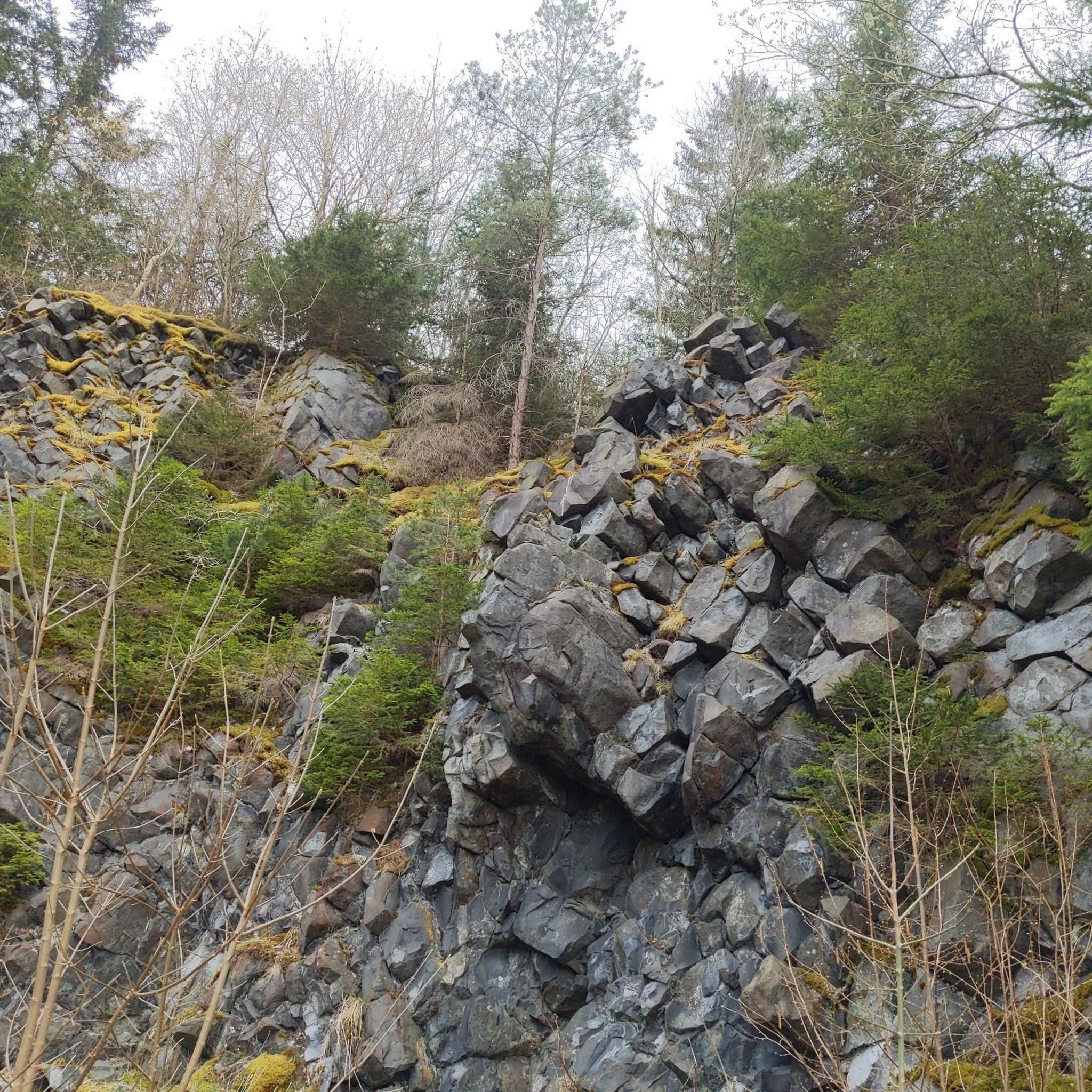
The Col du Reychasset is a pass located at an altitude of 1,052 m, in the Drôme department, within the Parc naturel régional des Baronnies provençales. It connects the Armalause valley with the Céans valley, between the municipalities of Chauvac-Laux-Montaux and Villebois-les-Pins.
8
0
Col du Reychasset is a pass located at 1,052 m altitude, in the Drôme department, within the Parc naturel régional des Baronnies provençales. It connects the Armalause valley with the Céans valley, between the municipalities of Chauvac-Laux-Montaux and Villebois-les-Pins.
8
0
Orpierre is a small medieval village located in the Hautes-Alpes, in the Provence-Alpes-Côte d'Azur region, in southeastern France.
8
0
Road with perfect asphalt and no traffic.
8
0

the drinking water fountain in the village of Orpierre
2
0

Magnificent region. I recommend the guest rooms at the Château de Rosans.
0
0

The Col de la Fromagère turns into the Col de Pommerol when you reach the summit. The climb is nevertheless magnificent on a small mountain road, with good percentages sometimes approaching 12%
0
0

Orpierre is a tiny, pretty village at an altitude of 700 m with around 300 inhabitants in the middle of the cliffs. It has everything you need. A good starting point for hiking, cycling and climbing.
3
0
Frequently Asked Questions
How many no-traffic touring cycling routes are available around Bruis?
Komoot offers over 30 dedicated no-traffic touring cycling routes around Bruis. These routes are carefully curated to provide a serene cycling experience away from vehicular traffic, allowing you to fully immerse yourself in the beautiful landscapes of the Drôme and Baronnies Provençales.
What is the best season for traffic-free touring cycling around Bruis?
The region around Bruis, with its transition towards Provence, is ideal for cycling from spring through autumn. Spring offers vibrant wildflowers and pleasant temperatures, while autumn provides stunning foliage. Summer can be warm, but the mountainous terrain and river valleys often offer cooler sections. It's always advisable to check local weather conditions before your trip.
What kind of landscapes can I expect on these no-traffic touring cycling routes?
The routes around Bruis traverse a diverse range of landscapes. You'll encounter rugged mountainous terrain and passes within the Baronnies Provençales Regional Natural Park, serene river valleys, and picturesque agricultural lands with vineyards and lavender fields as you head towards Provence. The region is known for its varied and scenic beauty.
Are there challenging no-traffic touring routes for experienced cyclists?
Yes, the Bruis area offers plenty of challenging options. Many routes feature significant elevation gains, characteristic of the Baronnies Provençales. For example, the Col de Rossas – La Charce Castle loop from Station de Valdrôme covers over 50 km with more than 1300 meters of ascent, providing a demanding ride for experienced touring cyclists.
Can I find circular no-traffic touring cycling routes in the Bruis area?
Absolutely. Many of the no-traffic touring cycling routes around Bruis are designed as loops, allowing you to start and finish at the same point. An example is the Medieval village of Rosans – Col des Tourette (1126 m) loop from Rosans, which offers a substantial circular journey through varied terrain.
What interesting landmarks or natural features can I see along these routes?
The routes often pass by charming villages and significant natural sites. You can explore the historic La Charce Castle, or the medieval village of Rosans. Nature lovers will appreciate the internationally recognized Geological Site of La Charce and the scenic Pommerol Gorges.
Are there any hidden gems or unique natural features to discover on these routes?
Beyond the well-known sites, the region holds unique natural treasures. While not directly on a cycling route, the nearby Marais des Bouligons is a preserved wetland rich in biodiversity, offering a peaceful diversion. The Panoramic View of the Baronnies Provençales is another highlight, offering breathtaking vistas.
Where can I park my car when starting a no-traffic touring cycling route?
Many routes start from villages or designated parking areas. For example, routes like the Saint-André-de-Rosans – Medieval village of Rosans loop from Rosans typically begin in or near the village of Rosans, where public parking is usually available. It's recommended to check the specific route details on komoot for suggested starting points and parking information.
Is public transport available to access these no-traffic cycling routes?
While Bruis itself is a smaller locality, the broader Drôme and Auvergne-Rhône-Alpes regions are increasingly cyclist-friendly. Some larger towns in the Drôme department offer public transport options that may accommodate bicycles, especially regional trains. For detailed information on public transport with bike carriage, it's best to consult local transport authorities or resources like France Vélo Tourisme for the Auvergne-Rhône-Alpes region.
Are the no-traffic touring cycling routes around Bruis dog-friendly?
Generally, cycling on public roads and designated trails in France is permissible with dogs on a leash, provided they are well-behaved and do not disturb wildlife or other users. However, specific restrictions might apply in certain protected natural areas or private properties. Always ensure your dog is comfortable with the distance and terrain, and carry enough water for both of you.
Are there family-friendly no-traffic touring cycling options around Bruis?
While many of the listed routes are rated 'difficult' due to significant elevation changes, the region does offer gentler options, particularly along river valleys or former railway lines converted into greenways. These are often more suitable for families. It's advisable to look for routes with minimal elevation gain and shorter distances if cycling with children or less experienced riders. The 'Accueil Vélo' label in the Drôme department also indicates services friendly to cycling tourists, including families.
What do other touring cyclists enjoy most about touring cycling in Bruis?
The Bruis area is highly rated by the komoot community, with an average score of 4.56 stars. Reviewers often praise the region's stunning natural beauty, the challenge of its mountain passes, and the tranquility of cycling away from heavy traffic. The diverse landscapes, from rugged mountains to picturesque villages and vineyards, are frequently highlighted as major draws.
Most popular attractions around Bruis

Get inspired with the komoot mobile app


Explore more
Browse the best Cycling routes in other regions.
