The best traffic-free bike rides around Crissey
4.4
(158)
4,454
riders
109
rides
No traffic road cycling routes around Crissey are situated in Southern Oregon, near the California border, offering access to coastal landscapes. The region features a mix of sandy beaches, wetlands, and mature tree stands, with the Winchuck River flowing nearby. Road cycling in this area often involves routes along the Pacific coast, characterized by varied terrain and ocean views.
Best no traffic road cycling routes around Crissey
- The most popular no traffic road cycling route is Bois des Taillis loop…
Last updated: July 5, 2026
4.1
(7)
77
riders
38.0km
01:42
240m
240m
Easy road ride. Great for any fitness level. Mostly well-paved surfaces and easy to ride.
4.7
(3)
25
riders
44.6km
01:56
120m
120m
Moderate road ride. Great for any fitness level. Some segments of this route may be unpaved and difficult to ride.

Sign up for free
4.0
(1)
53
riders
25.7km
00:59
70m
70m
Easy road ride. Great for any fitness level. Mostly well-paved surfaces and easy to ride.
3.0
(1)
21
riders
69.4km
02:54
320m
320m
Moderate road ride. Good fitness required. Some segments of this route may be unpaved and difficult to ride.
4.3
(3)
22
riders
50.3km
02:08
140m
140m
Moderate road ride. Good fitness required. Some segments of this route may be unpaved and difficult to ride.
Get access to more routes and recommendations from other explorers.
Sign up for free
Already have an account?
Our route recommendations are based on thousands of hikes, rides, and runs completed by other people on komoot.
Start today with a free account
Your next adventure awaits.
Login or Signup
Popular around Crissey

Tips from the Community

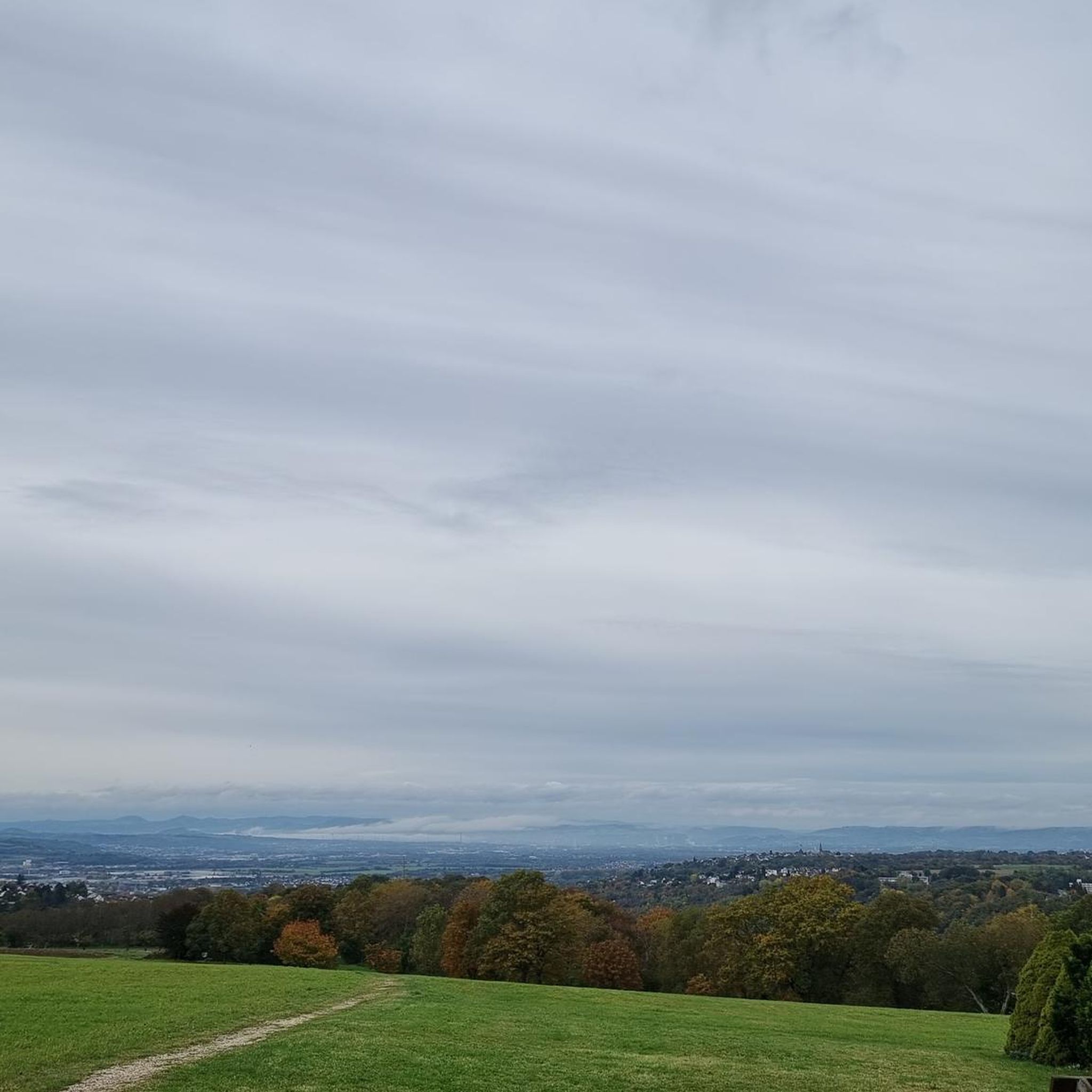
From the 13th to the 18th century: Several castles followed one another at different points within the same area. 1788: At the time of the acquisition of the estate by Baron François-Julien Geramb, a Hungarian magnate and former minister of Emperor Joseph II, only ruins remained.
0
0

This small 15th-century castle, built of brick, has not undergone any restoration. In the 18th century, it still had a rectangular enclosure with four towers. Only a main residential building remains between two large square towers topped with high hipped roofs. The larger of the two towers features elegant mullioned windows. Some bays have retained medieval wrought-iron grilles.
0
0

From the Voie Bressane greenway, there is a beautiful view of the circular brick tower, located north of the village. It is the last remaining structure of the Château de Saint-Germain.
0
0

Perfect for taking a short break, water point nearby
0
0

Very beautiful canal, with continuous cycle path (EV6)
0
1

First interesting view from the direction of Chalon-sur-Saône
0
0

Rully lock. There are three charging stations for electric bikes behind the old lock keeper's house.
1
0
An old church on the Canal du Centre
0
0
Frequently Asked Questions
How many no traffic road cycling routes are available around Crissey?
There are nearly 100 dedicated no traffic road cycling routes around Crissey, offering a wide range of options for different skill levels. You'll find 12 easy routes, 72 moderate routes, and 11 more challenging options to explore.
What is the best time of year for no traffic road cycling in Crissey?
The Southern Oregon Coast, including Crissey, offers pleasant cycling conditions for much of the year. Summer months are ideal for stable weather and accessing beaches. However, the region can be enjoyed in spring and fall as well, with fewer crowds. Winter conditions can bring rain and wind, but many routes remain accessible.
Are there any easy, family-friendly no traffic road cycling routes near Crissey?
Yes, there are several easy routes suitable for families. For instance, the Aire de picnic loop from Saint-Marcel offers a gentle ride. While the specific routes listed are not directly in Crissey, Oregon, the general area provides accessible paths within Crissey Field State Recreation Site itself, and the broader Oregon Coast Bike Route has sections suitable for various skill levels.
What kind of scenery can I expect on no traffic road cycling routes around Crissey?
Cyclists can expect stunning coastal scenery, including ocean views, craggy bluffs, and secluded beaches. The region is known for its diverse landscapes, from sandy beaches and wetlands at Crissey Field to the dramatic headlands and offshore rock formations along the nearby Samuel H. Boardman State Scenic Corridor. You might also encounter old-growth Sitka spruce trees and opportunities for wildlife watching.
Are there any long-distance, car-free cycling options near Crissey?
Crissey's location on the Southern Oregon Coast makes it an excellent starting point for longer coastal cycling adventures. While specific car-free routes of significant length are limited to dedicated paths, the US 101, which is part of the Oregon Coast Bike Route, offers extensive stretches with varying traffic levels, often providing wide shoulders or separate paths. The nearby Samuel H. Boardman State Scenic Corridor, though part of US 101, is highly regarded for its scenic cycling.
What do other road cyclists enjoy most about cycling in the Crissey area?
The Crissey area is highly rated by the komoot community, with an average score of 4.4 stars from over 140 ratings. Reviewers often praise the spectacular coastal scenery, the sense of tranquility on less-trafficked sections, and the unique natural features like the dramatic bluffs and sea stacks.
Are there any circular no traffic road bike routes around Crissey?
Yes, many of the routes in the area are designed as loops, allowing you to start and end at the same point. Examples include the Bois des Taillis loop from Châtenoy-en-Bresse or the Tower, Saint-Germain-de-Plain loop from Oslon, which offer varied distances and moderate difficulty. These provide a convenient way to explore the landscape without needing to retrace your steps.
Where can I find parking for no traffic road cycling routes near Crissey?
Crissey Field State Recreation Site itself offers parking facilities, making it a convenient base for exploring the area. Additionally, nearby state parks like Harris Beach State Park also provide amenities and parking for cyclists. These locations are excellent starting points for accessing the coastal routes.
Are there any specific viewpoints or attractions along the no traffic road cycling routes?
While the provided routes are not directly in Crissey, Oregon, the region is rich with viewpoints. The Samuel H. Boardman State Scenic Corridor, just north of Crissey, is famous for its numerous overlooks offering breathtaking views of the Pacific Ocean, natural bridges, and sea stacks. Crissey Field itself provides access to a scenic beach and wetlands. For specific attractions, you can explore highlights like Canal du Centre or Chalon-sur-Saône, though these are not local to Crissey, Oregon.
Can I access these no traffic road cycling routes using public transport?
Public transport options directly to the more remote sections of the Oregon Coast Bike Route or specific no-traffic paths can be limited. However, Crissey Field State Recreation Site is easily accessible by car, and its location near the Oregon-California border makes it a key access point for those traveling along US 101. For detailed public transport information, it's best to check local transit authorities for services in the Brookings area.
Are there any routes suitable for advanced road cyclists looking for a challenge?
Yes, among the nearly 100 routes, there are 11 classified as difficult, offering more challenging terrain and longer distances. These routes often feature greater elevation changes and can provide a more strenuous workout for experienced riders. An example of a longer, moderate route is the Canal du center – Buxy Station loop from Fragnes-la-Loyère, which covers nearly 70 km.
Most popular attractions around Crissey

Get inspired with the komoot mobile app


Explore more
Browse the best Road cycling routes in other regions.
