The best traffic-free bike rides around Narbief
4.5
(94)
3,131
riders
5
rides
No traffic road cycling routes around Narbief are situated in the Doubs department of the Bourgogne-Franche-Comté region of France, offering a diverse landscape for cyclists. The area features a blend of mountains, lakes, waterfalls, and gorges, providing varied terrain with significant elevation gains. Cyclists can navigate routes with climbs and descents through the Jura massif, which includes features like the Mont d'Or and the Doubs River. This varied topography makes the region suitable for different levels of road cycling.
Best…
Last updated: November 5, 2026
5
riders
34.2km
01:53
530m
530m
Moderate road ride. Good fitness required. Mostly well-paved surfaces and easy to ride.
6
riders
79.7km
03:49
870m
870m
Moderate road ride. Good fitness required. Mostly well-paved surfaces and easy to ride.

5
riders
Moderate road ride. Good fitness required. Mostly well-paved surfaces and easy to ride.
3
riders
Moderate road ride. Good fitness required. Mostly well-paved surfaces and easy to ride.
4
riders
35.2km
01:46
420m
420m
Moderate road ride. Good fitness required. Some segments of this route may be unpaved and difficult to ride.
Our route recommendations are based on thousands of hikes, rides, and runs completed by other people on komoot.
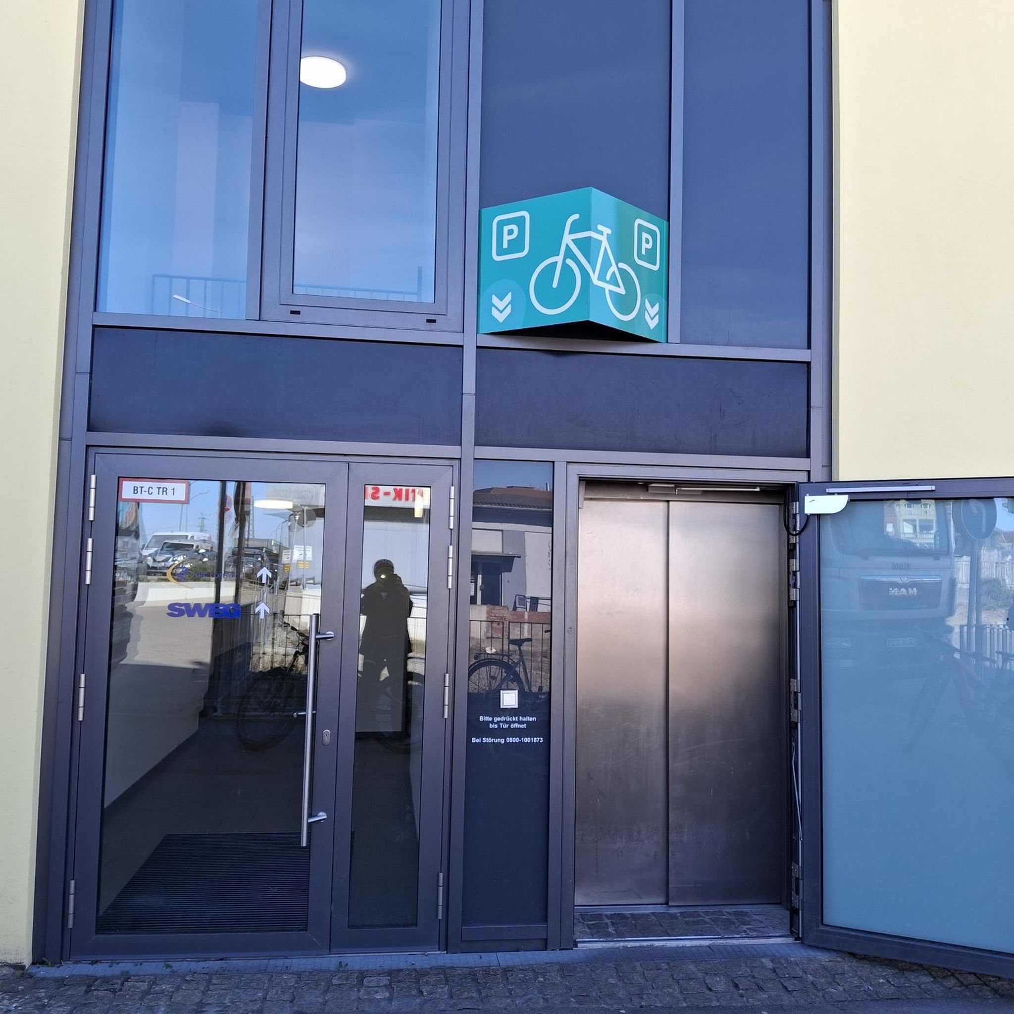
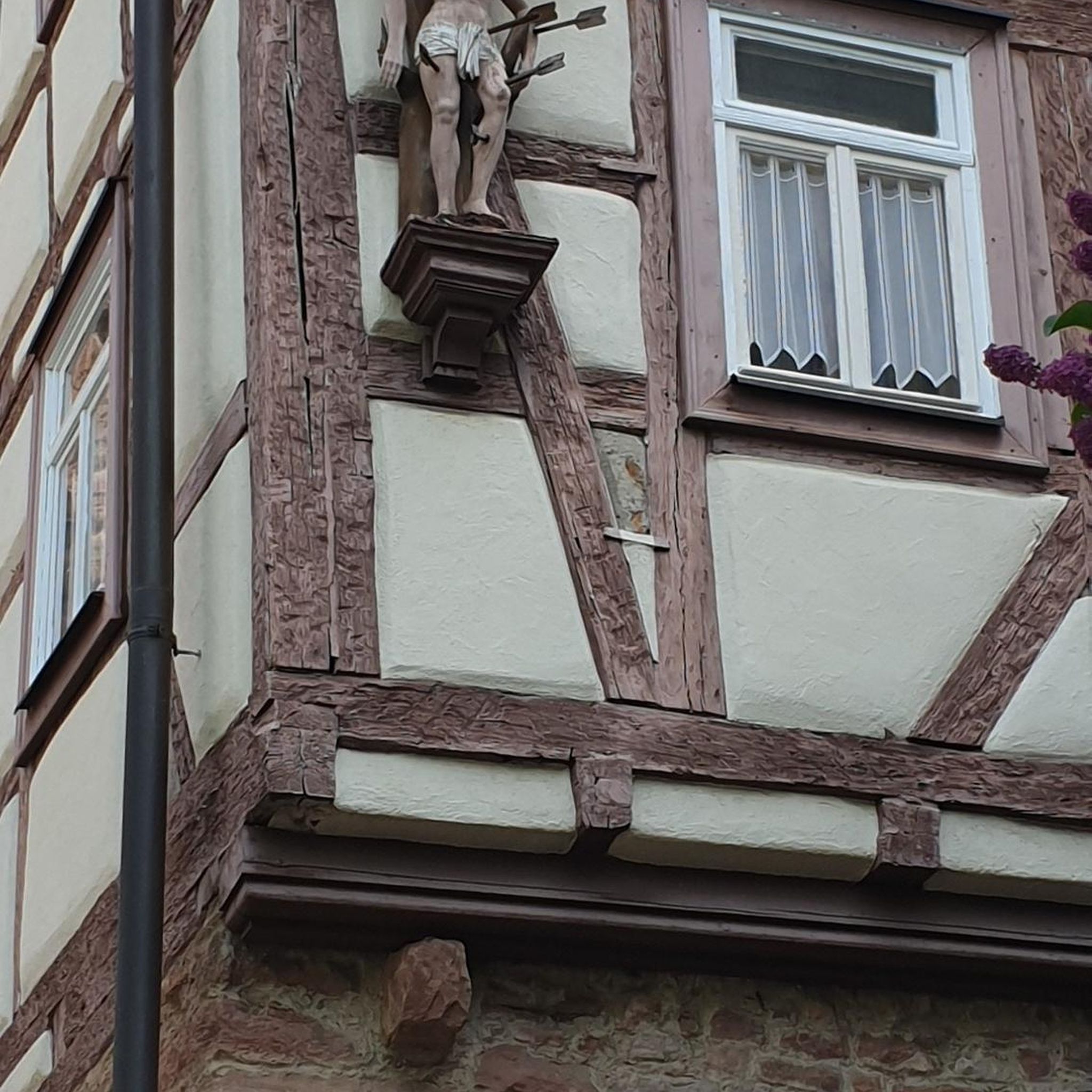
Tips from the Community

In Fournet-Blncheroche, the descent into the Doubs valley begins (towards Switzerland) or the ascent from it ends (towards France).
0
0

Very nice accommodation with a gigantic breakfast
0
0

Typo? Needs to be corrected... right?
0
0

It's just a lot of fun
0
0
When you are slowly losing your strength, such a path is wonderful. And when you still have strength, even more so
0
0
It is great to drive here
0
0

Beautiful cycle path with beautiful views!
0
0

The Col du Tounet is 3.9 km long, with its highest point at 984 m. The uphill part is 3.2 km long. The average percentage of Col du Tounet is 3.3%. The route is suitable for all types of bikes.
1
0
Frequently Asked Questions
How many no-traffic road cycling routes are available around Narbief?
Based on komoot data, there are over 4 dedicated no-traffic road cycling routes around Narbief. These routes vary in difficulty, offering options for different fitness levels, from moderate to difficult.
What kind of terrain can I expect on no-traffic road cycling routes near Narbief?
The Narbief area, situated in the Haut-Doubs, offers a diverse and picturesque terrain. You can expect a mix of well-paved surfaces, climbs, and descents through stunning natural scenery, including forests and open landscapes. The region is characterized by mountains, lakes, and gorges, providing varied and engaging rides.
Are there any family-friendly no-traffic road cycling options in the Narbief region?
While the listed no-traffic road cycling routes around Narbief are generally rated moderate to difficult, the broader region offers diverse cycling experiences. For families, it's advisable to look for routes with less elevation gain or consider dedicated 'voie verte' (greenway) paths in the Doubs department, which are often flatter and car-free, though not specifically listed in this guide.
What are some scenic viewpoints or natural attractions along these no-traffic routes?
The Narbief area is rich in natural beauty. While cycling, you might encounter breathtaking views of the Jura massif. Notable attractions in the wider region include the impressive Saut du Doubs Waterfall, the serene Brenets Lake, and the dramatic Gorges du Doubs. The Mont Vouillot Viewpoint is also a significant highlight in the area.
Are there any loop routes for no-traffic road cycling around Narbief?
Yes, many of the no-traffic road cycling routes around Narbief are designed as loops, allowing you to start and end at the same point. For example, the Synagogue of La Chaux-de-Fonds – Bahnhofplatz La Chaux-de-Fonds loop offers a moderate 38 km ride, and the Mont Vouillot Viewpoint loop provides a 35 km moderate challenge.
What is the best time of year to enjoy no-traffic road cycling in Narbief?
The best time to enjoy road cycling in Narbief is typically during the warmer months, from late spring to early autumn (May to October). During this period, the weather is generally pleasant, and the natural landscapes are at their most vibrant. Winter cycling can be challenging due to snow and colder temperatures, especially at higher elevations.
What is the typical elevation gain on no-traffic road cycling routes in this area?
The elevation gain on these routes can vary significantly, reflecting the mountainous nature of the Haut-Doubs region. For instance, the Col du Tounet loop from Guyans-Vennes involves over 500 meters of ascent, while the more challenging Hotel Chasseral – Chasseral Summit loop features over 1300 meters of climbing, offering significant challenges for experienced riders.
Are there options for parking near the starting points of these routes?
Yes, many of the routes start from towns or villages like La Chaux-de-Fonds Les Forges or Le Bélieu, where public parking is generally available. It's always a good idea to check local parking regulations and availability before your trip, especially during peak season.
Can I reach the starting points of these routes using public transport?
The Narbief region and surrounding towns often have public transport connections, including train stations in larger hubs like La Chaux-de-Fonds. While some routes may be accessible by public transport, it's recommended to check specific schedules and bike carriage policies for local buses and trains to plan your journey effectively.
What do other road cyclists enjoy most about the no-traffic routes around Narbief?
The no-traffic road cycling routes around Narbief are highly rated by the komoot community, with an average score of 4.5 stars. Reviewers often praise the stunning natural scenery, the quiet roads that allow for an immersive experience, and the varied terrain that provides both enjoyable rides and challenging climbs.
Are there any cafes or places to stop for refreshments along the no-traffic routes?
While the routes themselves focus on quiet roads, they often pass through or near small villages and towns where you can find cafes, bakeries, or restaurants. It's always a good idea to plan your stops in advance, especially on longer routes, and carry sufficient water and snacks.
Are dogs allowed on these no-traffic road cycling routes?
Generally, dogs are allowed on public roads and paths in France, provided they are kept on a leash and under control. However, specific regulations might apply in certain protected natural areas or private properties. Always ensure your dog is comfortable with cycling and that you carry water for them, especially on longer rides.
Most popular attractions around Narbief

Get inspired with the komoot mobile app


Explore more
Browse the best Road cycling routes in other regions.
