The best traffic-free bike rides around Subligny
5.0
(1)
44
riders
5
rides
Gravel biking around Subligny, located in the Manche department of Normandy, offers diverse terrain for cyclists. The region is characterized by its proximity to the Bay of Mont-Saint-Michel, featuring expansive mudflats and sandbanks at low tide. Inland, the landscape transitions to bocage countryside with hedged fields and woodlands, alongside paths following the Couesnon River. These natural features provide varied surfaces for no traffic gravel bike trails, from coastal routes with views of Mont-Saint-Michel to more secluded riverside and rural paths.
…Last updated: July 5, 2026
5.0
(1)
7
riders
47.9km
02:58
520m
520m
Hard gravel ride. Very good fitness required. Mostly paved surfaces. Suitable for all skill levels.
7
riders
37.9km
01:59
270m
270m
Moderate gravel ride. Good fitness required. Mostly paved surfaces. Suitable for all skill levels.

Sign up for free
7
riders
31.0km
01:48
120m
120m
Easy gravel ride. Great for any fitness level. Mostly paved surfaces. Suitable for all skill levels.
8
riders
Moderate gravel ride. Good fitness required. Mostly paved surfaces. Suitable for all skill levels.
9
riders
52.4km
02:55
290m
290m
Moderate gravel ride. Good fitness required. Mostly paved surfaces. Suitable for all skill levels.
Our route recommendations are based on thousands of hikes, rides, and runs completed by other people on komoot.
Start today with a free account
Your next adventure awaits.
Login or Signup
Popular around Subligny

Tips from the Community

During very high tides, your wheels may be in the water.
0
0

La Roche Torin is a prominent vantage point in the Bay of Mont Saint-Michel. This spot offers a unique view of the bay and is a popular destination for hikers and photographers, especially during strong tides (coefficient over 100). The tidal coefficient is the most important indicator for assessing the dynamics of the bay. A coefficient over 100 indicates spectacular tide conditions and a natural spectacle. Here in the Bay of Mont Saint-Michel, the highest tides in Europe occur, with a tidal range of up to 15 meters between high and low tide. Tidal range Mont Saint-Michel: https://tides4fishing.com/fr/basse-normandie/le-mont-saint-michel#_tidal_coefficient
1
0

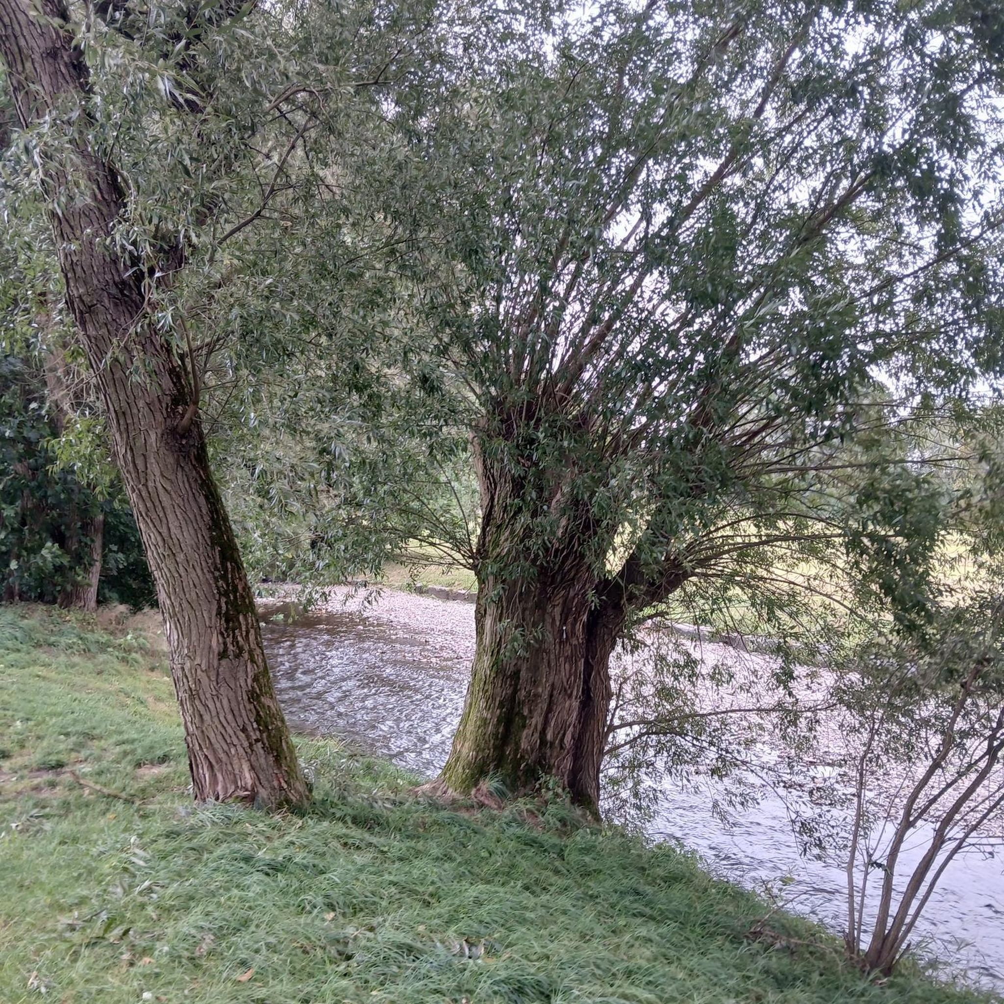
A beautiful picnic area with tables and benches among the trees on the banks of the Selen River. There are even restrooms. The area is very spacious.
1
0

Beautiful route but there are no water points for the cans! Otherwise it's magnificent
0
0
Magnificent landscape with its green pastures of salt meadows. Gradually approaching Mount Mich Mich
2
0

Beautiful view of the Klosterberg and an easy path to ride.
0
0
Nice opportunity for a break. Picnic area with a good view
2
0

great spot just past here to stop for a coffee or 2km further on in Isigby Le but there is a Boulangerie and a tabac for great sandwiches and coffee there is also a coccimarket
0
0
Frequently Asked Questions
How many no-traffic gravel bike trails are available around Subligny?
There are 5 dedicated no-traffic gravel bike trails around Subligny, offering a variety of distances and difficulty levels. These routes provide a great way to explore the scenic landscapes of the Manche region, often with views of the Bay of Mont-Saint-Michel.
Are there any easy gravel bike trails suitable for beginners or families near Subligny?
Yes, there is an easy no-traffic gravel bike trail perfect for beginners or families. The Sélune Riverbank – Ducey loop from Le Val-Saint-Père is 30.8 km long and offers a gentle ride along the Sélune Riverbank, providing a pleasant experience without significant elevation changes.
What kind of views can I expect on the gravel bike trails around Subligny?
Many of the gravel bike trails in the Subligny area offer spectacular views, particularly of the iconic Mont-Saint-Michel and its bay. For example, the Pontaubault Bridge – View of Mont Saint-Michel loop from Le Val-Saint-Père and the Pontaubault Bridge – View of Mont Saint-Michel loop from Avranches are specifically designed to showcase these breathtaking panoramas. You'll also encounter the serene Sélune Riverbanks and the charming bocage countryside.
Are there any circular gravel bike routes available?
Yes, all the no-traffic gravel bike trails around Subligny are circular routes, allowing you to start and end at the same point. This makes planning your ride convenient. For instance, the Sélune Riverbank – Pontaubault Bridge loop from Avranches is a challenging 47.9 km circular route.
What are some interesting places to see along the gravel bike routes?
While cycling the no-traffic gravel trails, you can explore several points of interest. You might pass by the historic Château d'Avranches, which offers panoramic views over the Bay of Mont-Saint-Michel. Other notable attractions in the vicinity include the Abbaye de La Lucerne and the unique Les Cent Vergées Peatland, a natural monument with diverse flora.
What is the best time of year to go gravel biking in Subligny?
The spring and autumn months generally offer the most pleasant conditions for gravel biking in the Subligny area, with milder temperatures and beautiful scenery. Summer can also be enjoyable, but it's advisable to start early to avoid the midday heat. The region's coastal paths and riverbanks provide varied terrain that can be enjoyed across different seasons.
What is the typical terrain like on these no-traffic gravel trails?
The terrain on these no-traffic gravel trails varies, encompassing coastal paths, riverbanks, and the bocage countryside. You'll encounter a mix of gravel surfaces, some compacted and others potentially looser, especially after rain. Routes often follow the Sélune River and offer views of the Bay of Mont-Saint-Michel, providing a diverse and engaging riding experience.
Are there any challenging gravel bike routes for experienced riders?
Yes, experienced riders looking for a challenge will find options. The Sélune Riverbank – Pontaubault Bridge loop from Avranches is classified as difficult, covering nearly 48 km with over 500 meters of elevation gain, offering a demanding yet rewarding ride through varied landscapes.
What do other gravel bikers enjoy most about the trails in Subligny?
The area is highly rated by the komoot community, with an average score of 5.0 stars. Reviewers often praise the stunning views of Mont-Saint-Michel, the tranquility of the no-traffic routes, and the diverse landscapes ranging from riverbanks to coastal paths. The well-maintained gravel surfaces and the opportunity to explore historical sites are also frequently highlighted.
Where can I find parking for these gravel bike trails?
Many of the routes start from towns like Avranches or Le Val-Saint-Père, where public parking is generally available. For example, routes like the Pontaubault Bridge – Sélune Riverbank loop from Avranches begin in Avranches, offering convenient access to parking facilities within the town.
Are there any specific regulations for gravel biking in the Subligny region?
While there are no specific regulations unique to gravel biking, general rules for cycling in France apply. Always respect private property, stay on marked trails, and be mindful of local wildlife and other trail users. Some areas, like the Les Cent Vergées Peatland, are protected natural sites, so it's important to stick to designated paths to preserve the ecosystem.
Most popular attractions around Subligny

Get inspired with the komoot mobile app


Explore more
Browse the best Gravel rides in other regions.
