The best traffic-free bike rides around Saint-Clément-Rancoudray
4.4
(11)
305
riders
12
rides
No traffic road cycling routes around Saint-Clément-Rancoudray traverse a varied landscape in the Manche department of Normandy, France. The region features significant altitude changes, with elevations ranging from 225m to 321m, providing engaging challenges and rewarding descents. Cyclists encounter picturesque natural features such as the Fosse Arthour gorge, the Petite Cascade de Mortain, and panoramic viewpoints offering distant views of Mont Saint-Michel. The area is also characterized by river valleys and proximity to the Forêt de Saint-Sever, contributing to diverse…
Last updated: July 5, 2026
4.0
(1)
4
riders
Moderate road ride. Good fitness required. Mostly well-paved surfaces and easy to ride.
5
riders
Moderate road ride. Good fitness required. Mostly well-paved surfaces and easy to ride.

Sign up for free
3
riders
104km
05:30
1,460m
1,460m
Hard road ride. Very good fitness required. Some segments of this route may be unpaved and difficult to ride.
2
riders
Moderate road ride. Good fitness required. Some segments of this route may be unpaved and difficult to ride.
2
riders
33.3km
01:30
370m
360m
Moderate road ride. Good fitness required. Mostly well-paved surfaces and easy to ride.
Get access to more routes and recommendations from other explorers.
Sign up for free
Already have an account?
Our route recommendations are based on thousands of hikes, rides, and runs completed by other people on komoot.
Start today with a free account
Your next adventure awaits.
Login or Signup
Popular around Saint-Clément-Rancoudray
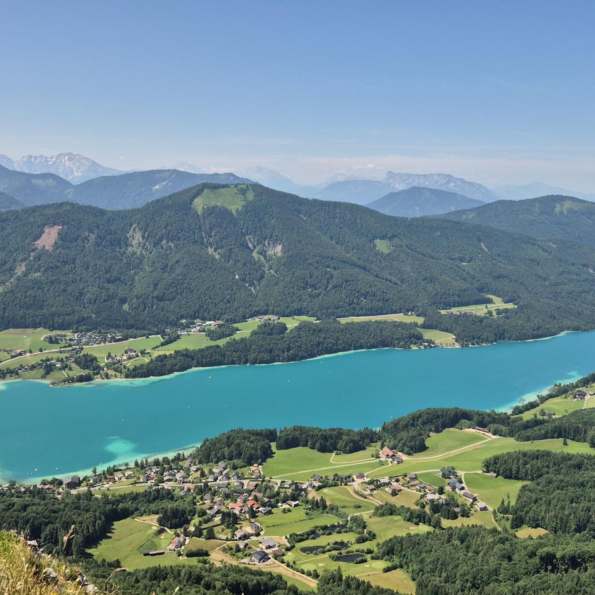

Tips from the Community

Cycling on the path along the lake is allowed.
0
0

beautiful lake that you can run around.
0
0

beautiful stained glass windows in this church which was spared by the bombings
0
0


Nice walk, especially in dry weather. The last 200 meters have to go through water. But definitely do it in the summer.
0
0
I thought the belvedere was in Chaulieu
0
0

Situated 70 meters above the top of the gorge, this ridge is the highest point for miles around, from where there are stunning views.
2
0
Frequently Asked Questions
How many no-traffic road cycling routes are available around Saint-Clément-Rancoudray?
There are 9 dedicated no-traffic road cycling routes around Saint-Clément-Rancoudray, offering a variety of distances and challenges for cyclists looking for quiet roads.
What kind of terrain and elevation can I expect on these routes?
The region around Saint-Clément-Rancoudray features varied topography, with many areas rising above 300 meters. You can expect engaging challenges and rewarding descents, as the overall elevation ranges from 225m to 321m, providing diverse routes with different levels of difficulty.
What do other road cyclists enjoy most about cycling in Saint-Clément-Rancoudray?
The area is highly rated by the komoot community, with an average score of 4.36 stars. Reviewers often praise the quiet, scenic roads and the varied terrain that makes for an engaging ride.
Are there any routes that pass by natural landmarks or viewpoints?
Yes, several routes offer access to stunning natural features and viewpoints. For instance, you can find routes that lead near the impressive Fosse Arthour gorge or offer panoramic views from the Mortain Viewpoint, where Mont Saint-Michel is visible on a clear day.
Can I find routes that include waterfalls?
Absolutely! The region is home to charming waterfalls. For example, the route La Grande Cascade de Mortain loop from Le Breil will take you near the picturesque Petite Cascade de Mortain, a distinctive tufa waterfall.
Are there any circular no-traffic road cycling routes?
Yes, many of the routes are designed as loops. For example, you can explore the Old watermill on the Varenne – Étang de La Pisse loop from Saint-Cyr-du-Bailleul, which offers a moderate 51 km ride, or the longer Old watermill on the Varenne – Barenton church loop from Saint-Georges-de-Rouelley at 97 km.
What is the best time of year for no-traffic road cycling in this area?
Spring and autumn generally offer the most pleasant conditions for road cycling in Normandy, with milder temperatures and beautiful scenery. Summer can also be enjoyable, but it's always wise to check local weather forecasts, especially for potential heat or rain.
Are there any cyclist-friendly cafes or amenities along the routes?
Yes, the region is becoming increasingly cyclist-friendly. You might find establishments like La Cour des Grands, a café, bar, and grocery store that explicitly welcomes cyclists and even offers an electric charging point, making it a great stop during your ride.
What are some examples of moderate difficulty routes?
Most of the routes in this guide are rated as moderate. An example is the Barenton church loop from Saint-Cyr-du-Bailleul, which covers 46 km with around 485 meters of elevation gain, offering a good balance of challenge and enjoyment.
Are there any longer, more challenging no-traffic routes for experienced cyclists?
Yes, for those seeking a greater challenge, there are routes like the Old watermill on the Varenne – Barenton church loop from Saint-Georges-de-Rouelley. This route spans over 97 km with more than 800 meters of elevation gain, providing a demanding yet rewarding experience on quiet roads.
Can I find routes that offer views of Mont Saint-Michel?
While Mont Saint-Michel is about 46 km away, some local viewpoints, such as the Mortain Viewpoint, offer expansive panoramic views where you can see the iconic landmark in the distance on a clear day. Look for routes that pass near these elevated spots.
Most popular routes around Saint-Clément-Rancoudray
Most popular attractions around Saint-Clément-Rancoudray

Get inspired with the komoot mobile app


Explore more
Browse the best Road cycling routes in other regions.
