The best traffic-free bike rides around Bellemagny
4.4
(296)
2,756
riders
159
rides
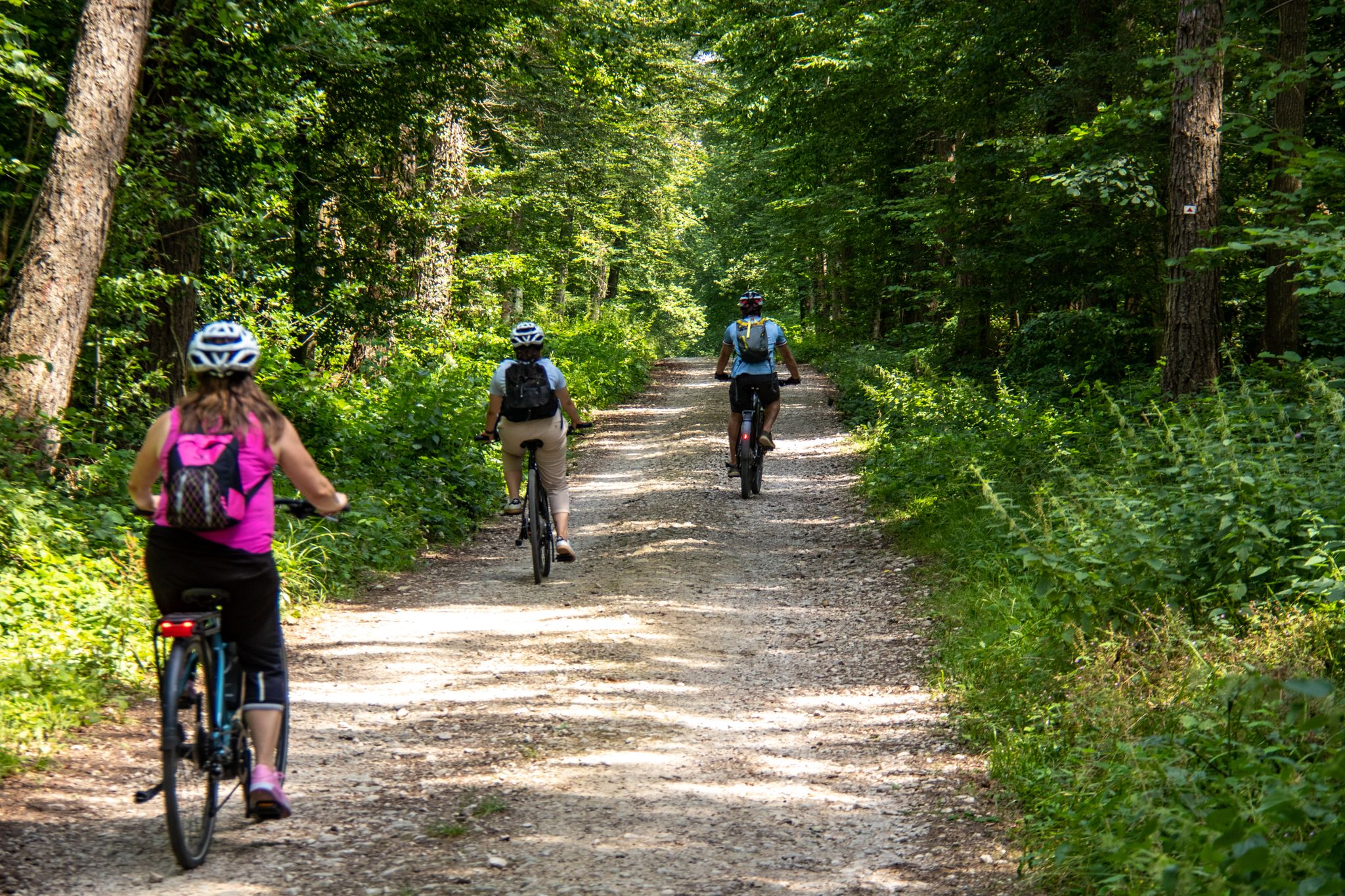
No traffic touring cycling routes around Bellemagny traverse a landscape characterized by the foothills of the Vosges Mountains, offering a mix of challenging climbs and scenic valleys. The region features lush forests, undulating farmland, and picturesque vineyards, alongside rivers like the Allaine and canals such as the Canal du Rhône au Rhin. These natural features provide varied terrain, from flatter paths along waterways to more elevated routes through the "balloons," or round-topped hills, unique to the Alsatian region.
Best no…
Last updated: October 8, 2026
5.0
(2)
8
riders
42.0km
02:29
270m
270m
Moderate bike ride. Good fitness required. Mostly paved surfaces. Suitable for all skill levels.
7
riders
14.0km
00:53
150m
150m
Moderate bike ride. Good fitness required. Mostly paved surfaces. Suitable for all skill levels.

6
riders
10.8km
00:42
130m
130m
Easy bike ride. Great for any fitness level. Mostly paved surfaces. Suitable for all skill levels.
5.0
(1)
5
riders
33.8km
02:03
270m
270m
Moderate bike ride. Good fitness required. Mostly paved surfaces. Suitable for all skill levels.
4
riders
17.1km
01:13
150m
150m
Moderate bike ride. Good fitness required. Mostly paved surfaces. Suitable for all skill levels.
Get access to more routes and recommendations from other explorers.
Already have an account?
Our route recommendations are based on thousands of hikes, rides, and runs completed by other people on komoot.
Start today with a free account
Your next adventure awaits.


Other adventures around Bellemagny

Tips from the Community

Carspach – Front village and Kilian tunnel Carspach is located immediately west of Altkirch and became a front village during World War I. As early as September 26, 1914, German trenches ran from north to south through the municipality, while French positions were located to its west. The front remained here until the end of the war. The proximity to the combat positions made life increasingly dangerous for the civilian population. On December 15, 1915, the entire population was evacuated. The inhabitants were first taken on foot to Zillisheim and then by special trains to other parts of Alsace. They could only return after the armistice of November 11, 1918. In total, the war claimed 37 military and 10 civilian victims from Carspach. In 1922, the municipality was awarded the Croix de guerre with palm. Particularly significant is the Kilian tunnel on the Lerchenberg. The German underground shelter tunnel was built in 1915/16 directly behind the front line. The approximately 150-meter-long facility could theoretically accommodate around 500 soldiers and served as protection against French artillery fire. On March 18, 1918, the tunnel was partially buried by French artillery fire. Numerous German soldiers lost their lives in the process; 21 buried soldiers were only recovered during the archaeological excavation in 2011. The excavation made the Kilian tunnel an important archaeological testament to World War I. In addition to human remains, equipment and numerous everyday objects were found, providing an unusually detailed insight into the lives of soldiers in the underground trench system. Carspach thus connects front-line history, the civilian population, and modern war archaeology. The Kilian tunnel and the preserved fortification remnants make the former front landscape visible to this day. Particularly worth seeing: Monument Kilian tunnel and the preserved German and French fortifications.
0
0
Altkirch Altkirch is the historic capital of the Sundgau and lies on a striking rocky spur above the valley of the Ill. The town's origins date back to the Middle Ages. The Counts of Ferrette built Altkirch into a fortified town; from 1215 onwards, it was protected by town walls and towers. The characteristic layout, narrow streets, and remnants of the fortifications have been preserved from this medieval town plan to this day. Particularly worth seeing is the Vieille Porte, a former town gate from around 1245. For centuries, Altkirch was an important administrative and commercial center of the Sundgau. After the destructions of the Thirty Years' War, numerous buildings were newly erected. The representative town hall dates from the 18th century, built in 1778 according to plans by the Swabian architect Jean Nissler. In the 19th century, the town continued to develop: alongside its traditional importance as a market and trading place, industrial enterprises emerged, including the well-known Gilardoni brickworks. The 20th century also left its mark. After the First World War, Altkirch became part of the re-Frenchified Alsace. The memory of this period is evident, among other things, at the Vieille Porte, where a Borne Vauthier commemorates the former front line of 1918. The original Altkirch war memorial from 1927 was destroyed during the German occupation in the Second World War; preserved parts were later integrated into a new memorial. Today, Altkirch, with around 6,000 inhabitants, is an important center of the Sundgau. The historic upper town with its old houses, remnants of fortifications, the town hall, and the Sundgau Museum continues to shape the townscape. Source: Ville d’Altkirch – History of the town
0
0
Bahnhof Burnhaupt-le-Haut The Bahnhof Burnhaupt-le-Haut is located on the former railway line from Cernay to Sewen, which led through the Dollertal. The line was built in the 19th century and was of great importance for passenger and freight transport in the region. During the First World War, the station gained particular strategic importance. Burnhaupt was located immediately behind or close to the front line between German and French troops. The railway was used to transport soldiers, weapons, ammunition, and other supplies. Due to the fighting, the station was heavily damaged. After the war, the station building was rebuilt between 1921 and 1923. A building typical of the region with elements of Alsatian architecture was created. The station has largely been preserved to this day and serves as a reminder of the importance of the railway for the region's development and the destruction of the First World War. Regular passenger service on the line was discontinued in 1967, and the line was later closed. Part of the former railway line is now operated as a museum railway by Train Thur Doller Alsace. Historic locomotives and wagons run on the line through the Dollertal, making the history of the railway tangible for visitors. The Bahnhof Burnhaupt-le-Haut is therefore not only a former transport hub, but also a historic site where the history of the region, the railway, and the First World War converge. Further information and historical photos: Train Thur Doller Alsace – Bahnhof Burnhaupt
0
0

the Michelbach lake is a place where you can stop for a picnic during hikes or bike rides
0
0

calm and well-rolling section
0
0

I liked this pleasant lake, its welcoming terrace. We wanted to return, from the woods, but had to turn back (Spring 2026). Access is now blocked by palisades with warning signs and monitored by cameras. The marked trails of the Club Vosgien have been rerouted. As a result, the desire to go to the bar was forgotten!
0
0

Altkirch is definitely worth a visit. The small town in Sundgau boasts a diverse architectural heritage that reflects its medieval and religious history. The Priory of Saint-Morand, the church Notre-Dame, the old city walls, and various medieval ruins bear witness to this richness.
0
0

The French and European National Cycleway is a great cycleway winding along side of the Rhine Rhone Canal with very little climbing, for those who do not like to climb. However those who are climbing shy, must be aware of the wind in this area. A lot of the locks still have the former lock man’s house which adds a bit of charm to every lock. One is never alone on this route as there is a constant passing of bicycles, both leisure and racing bikes.
0
0
Frequently Asked Questions
How many no-traffic touring cycling routes are available around Bellemagny?
There are over 180 dedicated no-traffic touring cycling routes around Bellemagny, offering a wide variety of options for cyclists. These routes range from easy, flat paths to more challenging rides with significant elevation gains.
Are there no-traffic touring routes suitable for all fitness levels?
Yes, the routes around Bellemagny cater to various fitness levels. You'll find many easy, mostly paved paths ideal for leisurely rides, as well as moderate and difficult routes with more elevation, particularly as you approach the Vosges foothills. For example, the Health park – Bellemagny loop from Bréchaumont is an easy option, while the Hundsruck Pass – Sentheim station loop from Soppe-le-Bas offers a more challenging experience.
What kind of terrain can I expect on these no-traffic routes?
The no-traffic routes around Bellemagny offer diverse terrain. You can expect picturesque paths winding through vineyards and orchards, lush Vosges forests, and scenic valleys like the Thur and Doller. Many routes utilize dedicated cycle paths, greenways like the "Voie Verte des Hautes-Vosges," minor agricultural roads, or small secondary roads with minimal traffic, often following rivers and canals for flatter sections.
What natural sights can I discover along the no-traffic touring routes?
The region boasts beautiful natural features. Many routes pass by serene lakes such as Michelbach Lake, Étang La Belle Île, and Étang des Cratsch. You'll also cycle through parts of the Vosges mountains, offering panoramic views and dense forests.
Are there any historical or cultural landmarks to see on these routes?
Yes, the area is rich in history and culture. Bellemagny itself is on the Alsatian Way to Santiago de Compostela, featuring an old mill and a convent. Along the routes, you might encounter charming villages with traditional half-timbered houses, Romanesque abbeys, and medieval castles. The Port of Dannemarie and the Valdieu-Lutran lock scale are notable man-made attractions along the waterways.
What do other touring cyclists enjoy the most about touring cycling in Bellemagny?
The area is highly rated by the komoot community, with an average score of 4.5 stars. Reviewers often praise the tranquility of the no-traffic routes, the stunning natural scenery ranging from vineyards to forests, and the well-maintained cycling infrastructure that makes for a pleasant and safe riding experience.
Are there any circular no-traffic touring routes around Bellemagny?
Yes, many of the no-traffic touring routes around Bellemagny are circular, allowing you to start and end your ride in the same location. An example is the Fort Ordener known as Fort Veselois loop from Larivière, which offers a scenic circular journey.
What is the best season for no-traffic touring cycling in Bellemagny?
The best season for no-traffic touring cycling in Bellemagny is generally from spring to autumn. During these months, the weather is pleasant, and the landscapes are vibrant, whether you're cycling through blooming orchards in spring, enjoying warm summer days, or admiring the colorful foliage in autumn. Always check local weather forecasts before heading out.
Can I find places to eat and drink along these no-traffic routes?
Absolutely. The Alsace region is known for its gastronomy. Many routes pass through charming villages where you can find local cafés, restaurants, and farm-inns offering regional specialties and Alsace wines. These stops provide excellent opportunities to refuel and experience local culture.
Is it possible to reach the no-traffic routes around Bellemagny by public transport?
While Bellemagny itself is a smaller commune, the broader Alsace region has a good public transport network. Some larger towns near the cycling routes may have train stations or bus stops that accommodate bicycles, especially along major cycle routes like EuroVelo 6. It's advisable to check specific public transport schedules and bicycle policies for your chosen starting point.
Where can I find parking for these no-traffic cycling routes?
Parking is generally available in or near the starting points of many routes, especially in villages and towns. Look for designated parking areas in commune centers or near popular trailheads. For routes like the Largue Valley Cycle Path, you'll often find convenient parking in nearby towns like Dannemarie.
Are the no-traffic routes around Bellemagny suitable for families with children?
Yes, many of the no-traffic routes, particularly those on dedicated cycle paths and greenways, are ideal for families. The "Voie Verte des Hautes-Vosges" is a prime example, offering a safe and tranquil environment away from car traffic. These flatter, well-maintained paths are perfect for children and cyclists of all ages.
Most popular attractions around Bellemagny

Get inspired with the komoot mobile app


Explore more
Browse the best Cycling routes in other regions.
