The best cycling routes in the Mc Cullough Range
4.6
(98)
480
riders
16
rides
Touring cycling in the Mc Cullough Range offers routes through diverse desert landscapes characterized by volcanic and metamorphic rock formations. The region features a Mojave Desert environment with creosote bush, yucca, and Joshua trees, alongside canyons and washes. Elevations reach over 7,000 feet, providing varied terrain from paved multi-use paths to more rugged options. The area includes extensive trail networks suitable for different cycling preferences.
Best touring cycling routes in the Mc Cullough Range
- The most popular touring cycling route…
Last updated: June 23, 2026
5.0
(10)
100
riders
60.5km
03:56
640m
640m
Cycle the River Mountains Loop Trail, a challenging 37.6-mile paved route offering spectacular desert and Lake Mead views near Las Vegas.
5.0
(1)
11
riders
71.3km
04:43
980m
980m
Cycle the challenging 44.3-mile River Mountains Loop Trail for stunning views of Lake Mead, Hoover Dam, and historic railroad tunnels.

Sign up for free
3
riders
33.4km
01:35
170m
170m
This moderate 20.7-mile touring cycling loop in Henderson, Nevada, features paved trails, urban views, and desert scenery.
3.0
(1)
4
riders
26.0km
01:39
240m
240m
This 16.2-mile moderate touring cycling loop offers panoramic desert and Lake Mead views in the Lake Mead National Recreation Area.
5.0
(3)
26
riders
Moderate bike ride. Good fitness required. Mostly paved surfaces. Suitable for all skill levels.
16
riders
31.5km
01:57
300m
300m
Moderate bike ride. Good fitness required. Mostly paved surfaces. Suitable for all skill levels.
11
riders
46.2km
03:11
750m
750m
The View of Lake Mead – Hoover Dam loop from Railroad Pass is a challenging touring cycling route that combines historical intrigue with vast desert scenery. You'll pedal through the…
8
riders
This extensive touring cycling route, the Acacia Park – Wetlands Park - South Loop Trail, offers a surprising escape from the typical Mojave Desert landscape. You'll cycle through a vibrant…
6
riders
The McCullough Hills Trailhead loop offers a rugged desert cycling experience, winding through varied terrain that includes rocky paths, sandy washes, and gravelly sections. You'll ride past striking volcanic rock…
7
riders
11.0km
00:48
70m
70m
Easy bike ride. Great for any fitness level. Mostly paved surfaces. Suitable for all skill levels.
Get access to more routes and recommendations from other explorers.
Sign up for free
Already have an account?
Our route recommendations are based on thousands of hikes, rides, and runs completed by other people on komoot.
Start today with a free account
Your next adventure awaits.
Login or Signup

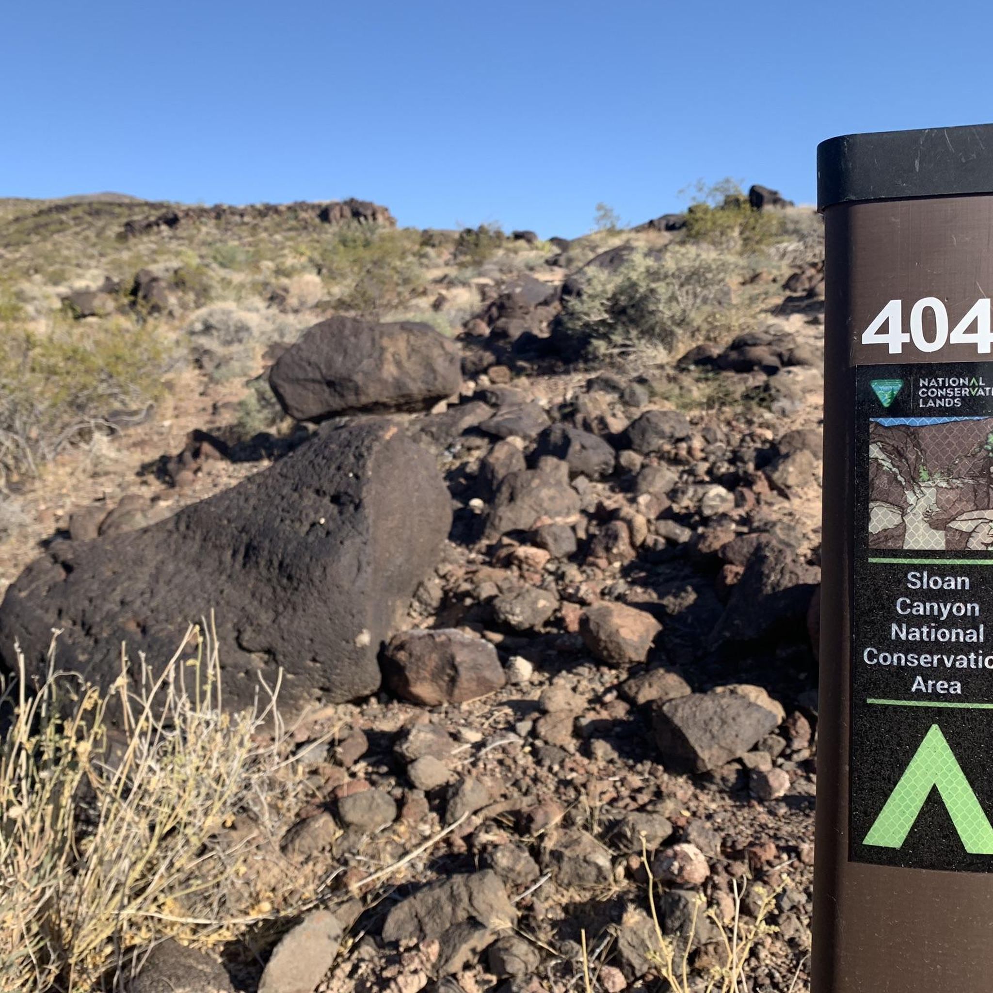
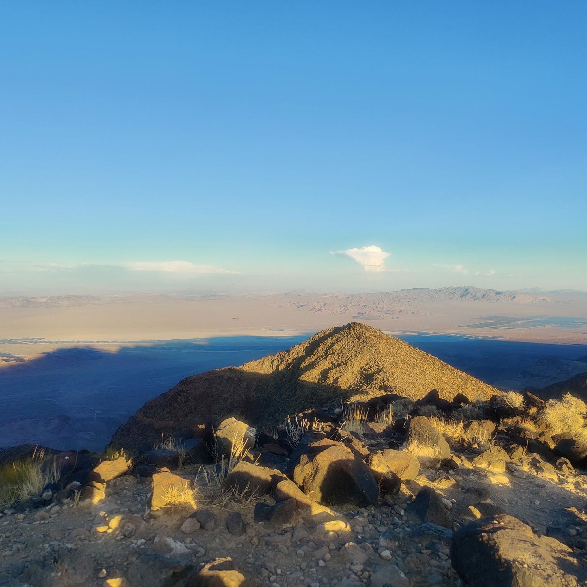
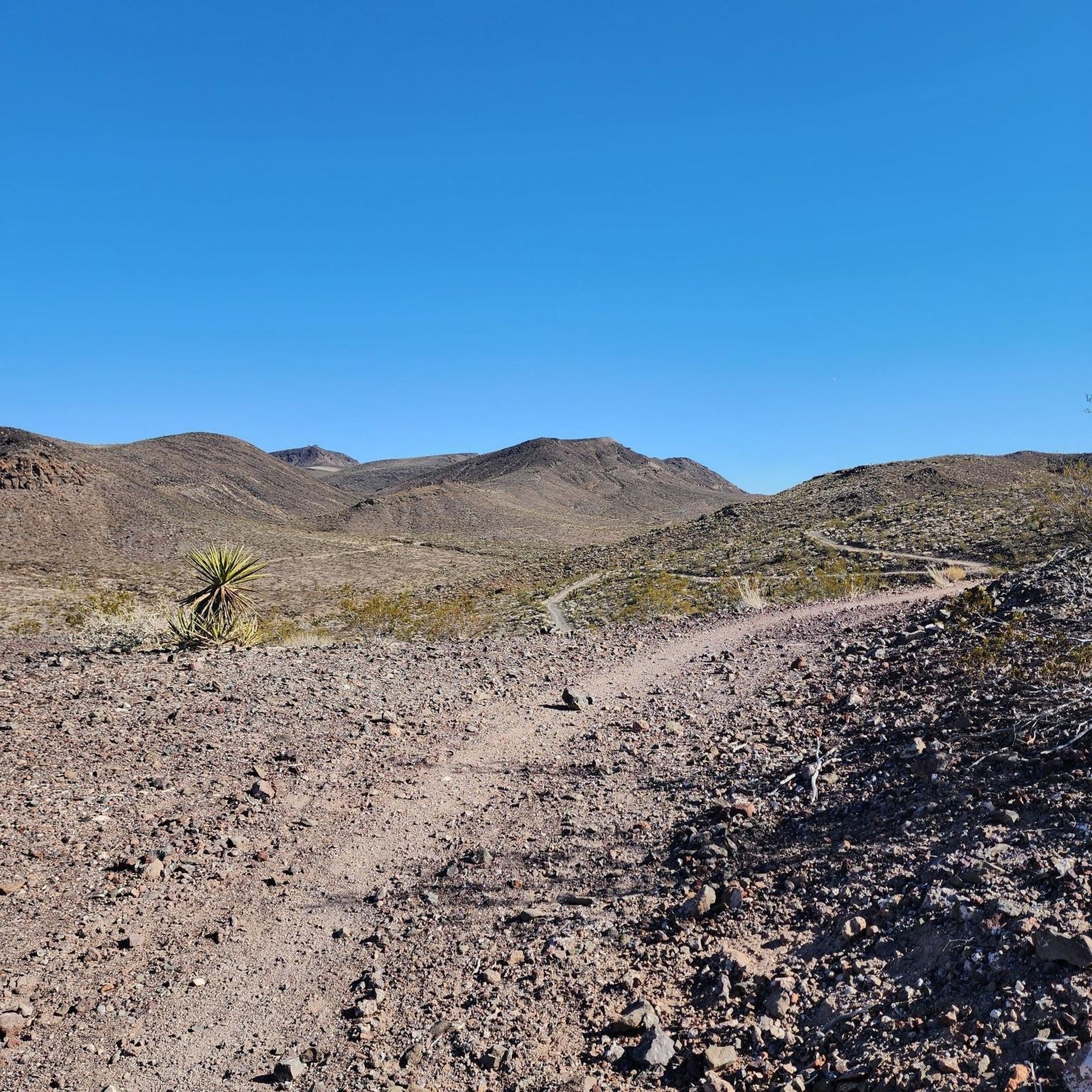
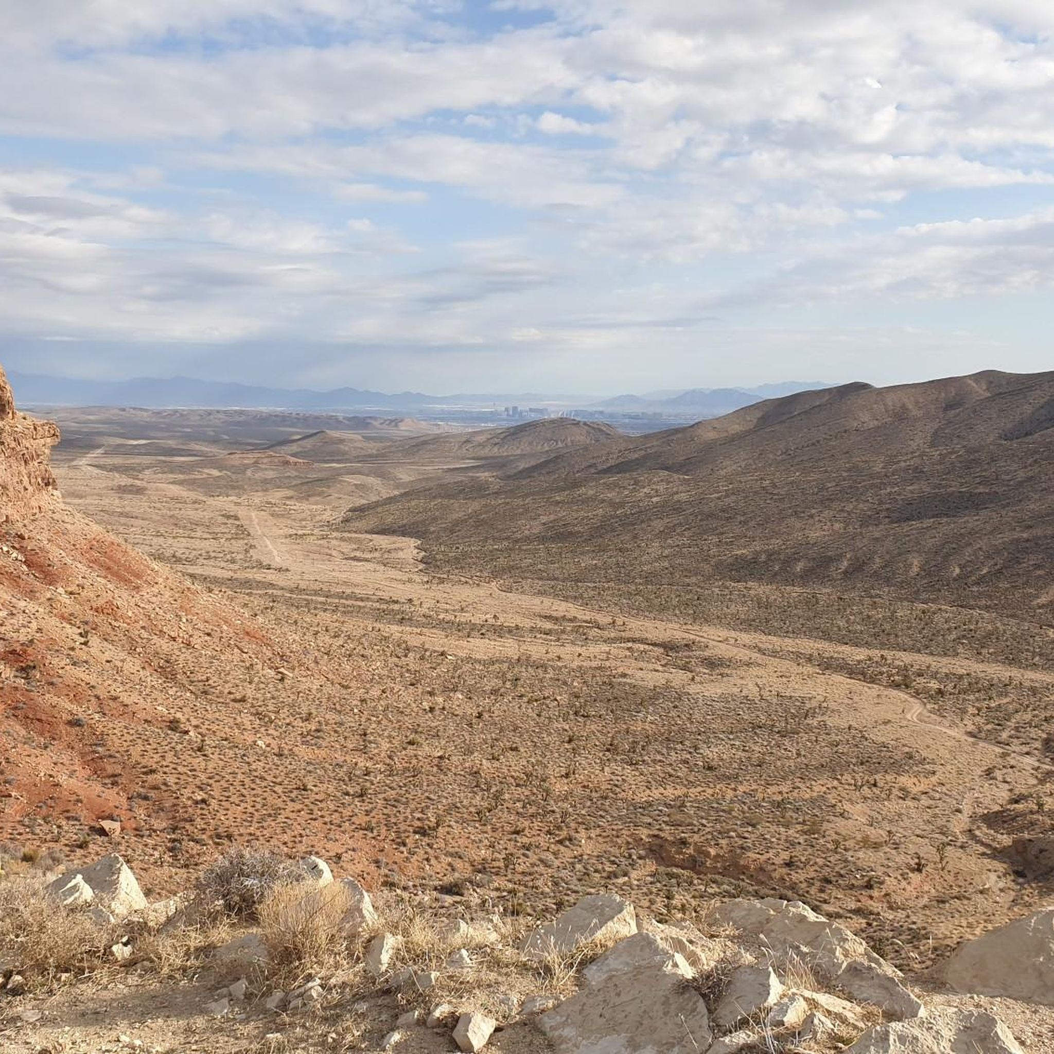
Other adventures in the Mc Cullough Range

Tips from the Community

From the photo's location, it's about 30 km to Las Vegas. In the background on the left of the photo, you can see the Sierra Nevada mountain range with snow, about 90 km away. The air here is so dry that there are almost unlimited far views.
0
0
The shelter with water and a good view can be used as a very nice resting place
0
0
From here, the old town of Boulder City is supposed to begin. Well, that was nothing. But what works well is the connection with the construction of the Hoover Dam. An exhibition and frequent references in the cityscape show this again and again.
0
0
You drive from Boulder City, Nevada to Lake Mead, more precisely to the Hoover Dam. However, this is already in Arizona. That's why the sign is halfway back.
1
0
This is the view of the Colorado River gorge after the dam
1
0
Normally, this wouldn't be a highlight. But for one thing, this water level has been like this for years, and for another, it's a testament to how water is managed here.
1
0

This is a well equipped park with sports fields, playgrounds, picnic areas, a splash pad, and restrooms. The Union Pacific Rail Trail runs through the park as well, so it's well connected to the rest of the city.
0
0

True to its name, this paved two-lane bike path runs all the way around the River Mountains on a 35-mile circuit between Henderson and Lake Mead. This section is a must if you are cycling between Henderson and Boulder City.
0
0
Frequently Asked Questions
What types of landscapes can I expect to see while touring cycling in the McCullough Range?
The McCullough Range offers diverse desert landscapes, characterized by dramatic volcanic and metamorphic rock formations. You'll encounter unique Mojave Desert ecosystems featuring creosote bush, Mojave yucca, banana yucca, cholla, and Joshua trees. Higher elevations may reveal single-leaf pinyon pine and Utah juniper, alongside canyons, washes, and springs.
Are there any easy touring cycling routes suitable for beginners or families?
Yes, the McCullough Range has options for various skill levels. For an easier ride, consider the Bike loop from Henderson, which is rated as easy. The region also features paved, multi-use paths like sections of the Union Pacific Rail Trail, which are generally more accessible.
What is the best time of year to go touring cycling in the McCullough Range?
The ideal time for touring cycling in the McCullough Range is from late fall to spring, typically October through May. This avoids the extreme heat of summer, where temperatures can reach 120 degrees Fahrenheit. Always carry plenty of water, regardless of the season.
Are there any circular touring cycling routes in the area?
Yes, many routes in the McCullough Range are designed as loops. A popular option is the Harry Reid UPRR and Pittman Wash Trails Loop, which is a moderate 20.7-mile path incorporating the paved Union Pacific Rail Trail. Another is the McCullough Hills Trailhead loop from McCullough Hills Trailhead Parking Lot, offering desert views.
What kind of views can I expect along the touring cycling routes?
Many routes offer breathtaking vistas. For example, the McCullough Hills Trail provides panoramic views of the Las Vegas skyline and even the Strip from around 3,000 feet. The River Mountains Loop Trail also offers magnificent views of Las Vegas, particularly its western section, alongside desert scenery.
Are there any notable attractions or points of interest along the touring cycling routes?
Yes, several points of interest can be found near or along the routes. Acacia Park, connected by the Union Pacific Rail Trail, offers sports fields, playgrounds, and picnic areas. The McCullough Hills Trailhead and Anthem East Trailhead serve as convenient starting points with amenities. You might also pass by the Railroad Pass Hotel & Casino on some routes.
What do other touring cyclists enjoy most about cycling in the McCullough Range?
The area is highly rated by the komoot community, with an average score of 4.5 stars from more than 10 reviews. Cyclists often praise the diverse terrain, from paved multi-use paths to more rugged options, and the stunning desert vistas, including views of the Las Vegas Valley.
How many touring cycling routes are available in the McCullough Range?
There are over 10 touring cycling routes documented in the McCullough Range, catering to various skill levels from easy to difficult. This includes 1 easy route, 7 moderate routes, and 4 difficult routes.
Are there any routes that combine paved and unpaved sections?
Yes, some routes offer a mix. The Harry Reid UPRR and Pittman Wash Trails Loop incorporates the fully paved Union Pacific Rail Trail, while other sections might lead onto more rugged desert paths. The McCullough Hills Trail, for instance, has sections with scattered stones, suitable for mountain biking but also accessible for touring cyclists with appropriate tires.
Where can I find parking for touring cycling routes in the McCullough Range?
Trailheads like the McCullough Hills Trailhead and Anthem Hills Trailhead provide parking, making them convenient starting points for your rides. Acacia Park, which is connected by the Union Pacific Rail Trail, also offers parking and other amenities.
What wildlife might I encounter while cycling?
The McCullough Range is home to diverse desert wildlife. Cyclists may spot bighorn sheep, mule deer, antelope ground squirrels, and the protected desert tortoise. Various lizards, snakes, and bird species are also common in the area.
Are there any long-distance touring cycling options?
For those seeking longer rides, the River Mountains Loop Trail is a significant option, with one variant covering approximately 37.6 miles (60.5 km). Another challenging route is the Giant Bicycle – Acacia Park loop from Green Valley Ranch, which is around 36.8 miles (59.2 km).
Most popular routes in the Mc Cullough Range
Most popular attractions in the Mc Cullough Range

Get inspired with the komoot mobile app


Explore more
Browse the best Cycling routes in other regions.
