The best traffic-free bike rides around Mallemoisson
4.6
(144)
4,084
riders
13
rides
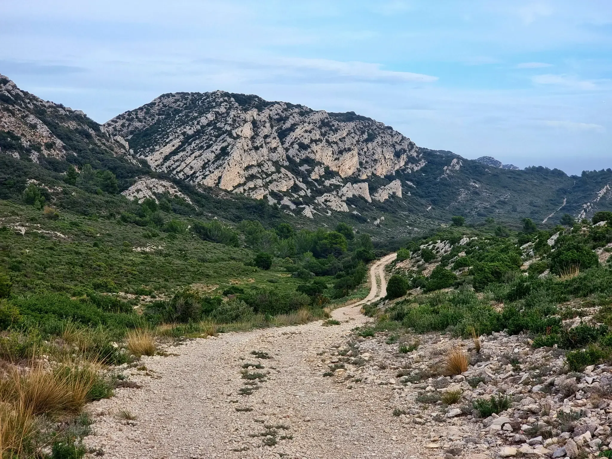
Road cycling around Mallemoisson, situated in the Alpes-de-Haute-Provence region, offers diverse landscapes characterized by valleys, forests, and challenging mountain passes. The area features significant elevation changes, with routes traversing the Bléone valley and ascending passes like Col de Fontbelle and Col d'Espinouse. This region is part of a UNESCO-classified Geological Reserve, providing a unique natural backdrop for no traffic road cycling routes. The terrain includes mostly well-paved surfaces, making it suitable for road cyclists seeking varied experiences.
Best no traffic…
Last updated: May 24, 2026
4.0
(3)
158
riders
73.8km
03:48
1,280m
1,280m
Hard road ride. Very good fitness required. Mostly well-paved surfaces and easy to ride.
4.5
(2)
64
riders
49.1km
02:39
880m
880m
Moderate road ride. Good fitness required. Mostly well-paved surfaces and easy to ride.

Sign up for free
4.3
(4)
38
riders
28.3km
01:33
550m
550m
Moderate road ride. Good fitness required. Some segments of this route may be unpaved and difficult to ride.
24
riders
52.0km
02:34
800m
800m
Moderate road ride. Good fitness required. Mostly well-paved surfaces and easy to ride.
4.0
(1)
28
riders
74.8km
03:39
1,110m
1,110m
Hard road ride. Very good fitness required. Mostly well-paved surfaces and easy to ride.
Get access to more routes and recommendations from other explorers.
Sign up for free
Already have an account?
Our route recommendations are based on thousands of hikes, rides, and runs completed by other people on komoot.
Start today with a free account
Your next adventure awaits.
Login or Signup


Other adventures around Mallemoisson

Tips from the Community

The southern slope, from Chaudon-Norante, is advertised at an average gradient of 6.6% for a length of about 8km. But the road has 4 or 5 flat sections over 150 or 200m, which means that in reality we are very often on slopes between 8 and 10%. This pass nevertheless remains accessible to any moderately trained cyclist and, the icing on the cake, it is reserved for cyclists at certain times during the summer. The view at the summit is magnificent.
0
0

Very beautiful views while climbing the Espinouse. However, on the way down from the Col de l'Orme, when you take the road on the left, the road is very dangerous; you have to be very careful; we pass through the middle of farms, among other things.
0
0


The Col d'Espinouse peaks at 838m and has two very different sides. From Bras d'Asse, more than 10 km of climbing awaits you and be careful not to be fooled by its low average percentage because this pass has many passages at more than 7%, especially towards the end with the last 700 meters at 8% and above all this slope is very exposed to the wind which often blows very strongly. On the other side from the Chaffaut road the climb is around 3-4 km shorter, is not exposed to the wind but has a steep and regular gradient (6-7% on average and passages at 11%).
2
0

This pass is 1,065 meters above sea level, on the way to Corobin Pass. From Digne-les-Bains, the 7.6 kilometer climb includes portions between 5 and 9.5%, enough to tickle your legs.
1
0


A pass located at an altitude of 1065m near the Col du Corobin in the direction of Digne-les-Bains.
1
0
Frequently Asked Questions
How many no-traffic road cycling routes are available around Mallemoisson?
There are over 10 dedicated no-traffic road cycling routes around Mallemoisson, offering a variety of distances and elevations for different skill levels. You'll find routes ranging from moderate to difficult, ensuring a suitable challenge for most road cyclists.
What kind of terrain can I expect on these no-traffic road cycling routes?
The terrain around Mallemoisson is diverse, featuring a mix of valleys and mountainous sections. You'll encounter well-paved roads, especially on routes that traverse passes like the Col d'Espinouse, which has an average gradient of 6.9%. The region's natural environment, including the Bléone valley and views of the Durance valley, provides varied and scenic backdrops.
Are there any challenging no-traffic road cycling routes for experienced cyclists?
Yes, Mallemoisson offers several challenging routes. For instance, the Fontbelle Pass – Queen Jeanne Bridge loop from Aiglun is a difficult route covering nearly 119 km with over 2,400 meters of elevation gain. Another demanding option is the Col de Fontbelle (1304 m) – Fontbelle Pass loop from Les Sièyes, which is almost 59 km long with over 1,200 meters of ascent.
What are some notable sights or landmarks along the no-traffic road cycling routes?
Many routes offer stunning views and pass by interesting landmarks. You might encounter mountain passes like Col d'Espinouse or Col de Puimichel. The region is also known for its unique geological features, being part of a UNESCO-classified Geological Reserve. Some routes offer views of the Durance Valley, and you can explore charming villages like Digne-les-Bains.
When is the best time of year to go road cycling in Mallemoisson?
Mallemoisson, situated in sunny Haute-Provence, is generally pleasant for cycling for much of the year. Spring and autumn offer ideal temperatures for longer rides, avoiding the peak summer heat. However, the region's diverse landscapes mean that higher passes might be more accessible in late spring through early autumn.
Are there any circular no-traffic road cycling routes available?
Yes, many of the no-traffic road cycling routes around Mallemoisson are designed as loops. For example, the Col de Puimichel – Col d'Espinouse (838 m) loop from Saint-Jurson offers a circular journey of nearly 74 km, allowing you to start and finish in the same location without retracing your path.
What do other road cyclists say about the no-traffic routes in Mallemoisson?
The no-traffic road cycling routes in Mallemoisson are highly regarded by the komoot community, with an average rating of 4.7 out of 5 stars from over 120 reviews. Cyclists often praise the quiet roads, the challenging climbs of the mountain passes, and the beautiful, varied landscapes of the Alpes-de-Haute-Provence region.
Can I find moderate no-traffic road cycling routes suitable for a good workout?
Absolutely. There are several moderate routes that provide a good workout without being overly strenuous. An example is the Col de Puimichel – Digne les Bains swimming pool loop from Aiglun, which covers over 65 km with around 860 meters of elevation gain, perfect for a solid day out on the bike.
Are there any routes that offer views of the famous Plateau de Valensole?
Yes, some routes venture towards areas offering glimpses of the wider regional beauty. The Plateau de Valensole – Col d'Espinouse loop from Aiglun is a difficult route spanning over 100 km with significant elevation, providing an opportunity to experience the landscapes near the renowned Plateau de Valensole.
Where can I find parking for these no-traffic road cycling routes?
While specific parking details for each starting point are best checked on the individual route pages, many routes begin from villages or towns like Aiglun or Saint-Jurson. These locations typically offer public parking facilities suitable for cyclists looking to embark on their rides.
What kind of natural features will I encounter while cycling in the Mallemoisson area?
The Mallemoisson area is rich in natural beauty. You'll cycle through the scenic Bléone valley, with potential views of the Durance valley from higher points. The region is characterized by its mountainous terrain, including various passes, and is surrounded by forests, such as the Mallemoisson state forest, offering a diverse and picturesque cycling experience.
Most popular routes around Mallemoisson
Most popular attractions around Mallemoisson

Get inspired with the komoot mobile app


Explore more
Browse the best Road cycling routes in other regions.
