The best walks and hikes around Maulburg
4.6
(159)
893
hikers
60
hikes
Hiking around Maulburg offers diverse outdoor experiences within Germany's Lörrach district, situated in the Wiese valley. The region is characterized by its location in the Southern Black Forest, featuring verdant forests, rolling hills, and elevated areas like the Dinkelberg. Hikers can experience expansive views of the Wiesental valley, the High Rhine valley, and on clear days, the Swiss Jura and Alpine chain.
Best hiking trails around Maulburg
- The most popular hiking route is Holzmacherhütte Grill Area – Jägerhüsle Shelter loop…
Last updated: October 5, 2026
4.7
(7)
27
hikers
7.88km
02:20
220m
230m
Moderate hike. Good fitness required. Easily-accessible paths. Suitable for all skill levels.
4.6
(11)
37
hikers
8.18km
02:16
150m
150m
Moderate hike. Good fitness required. Easily-accessible paths. Suitable for all skill levels.

5.0
(3)
48
hikers
6.30km
01:39
50m
50m
Easy hike. Great for any fitness level. Easily-accessible paths. Suitable for all skill levels.
4.3
(6)
34
hikers
7.37km
02:11
220m
220m
Moderate hike. Good fitness required. Easily-accessible paths. Suitable for all skill levels.
4.9
(7)
23
hikers
Easy hike. Great for any fitness level. Easily-accessible paths. Suitable for all skill levels.
Get access to more routes and recommendations from other explorers.
Already have an account?
Our route recommendations are based on thousands of hikes, rides, and runs completed by other people on komoot.
Start today with a free account
Your next adventure awaits.

Tips from the Community

The beer cellar, built around 1850, is listed as a minor monument. For the 1200th anniversary celebrations in 1986, it was restored by two Maulburg craftsmen in 111 hours of voluntary labor.
4
0
The Wiese flows through the Wiesental valley in the southern Black Forest, for approximately 82 kilometers. Near Maulburg, it joins its sister river, the "Kleine Wiese," and flows into the Rhine between Weil am Rhein and Basel.
4
0

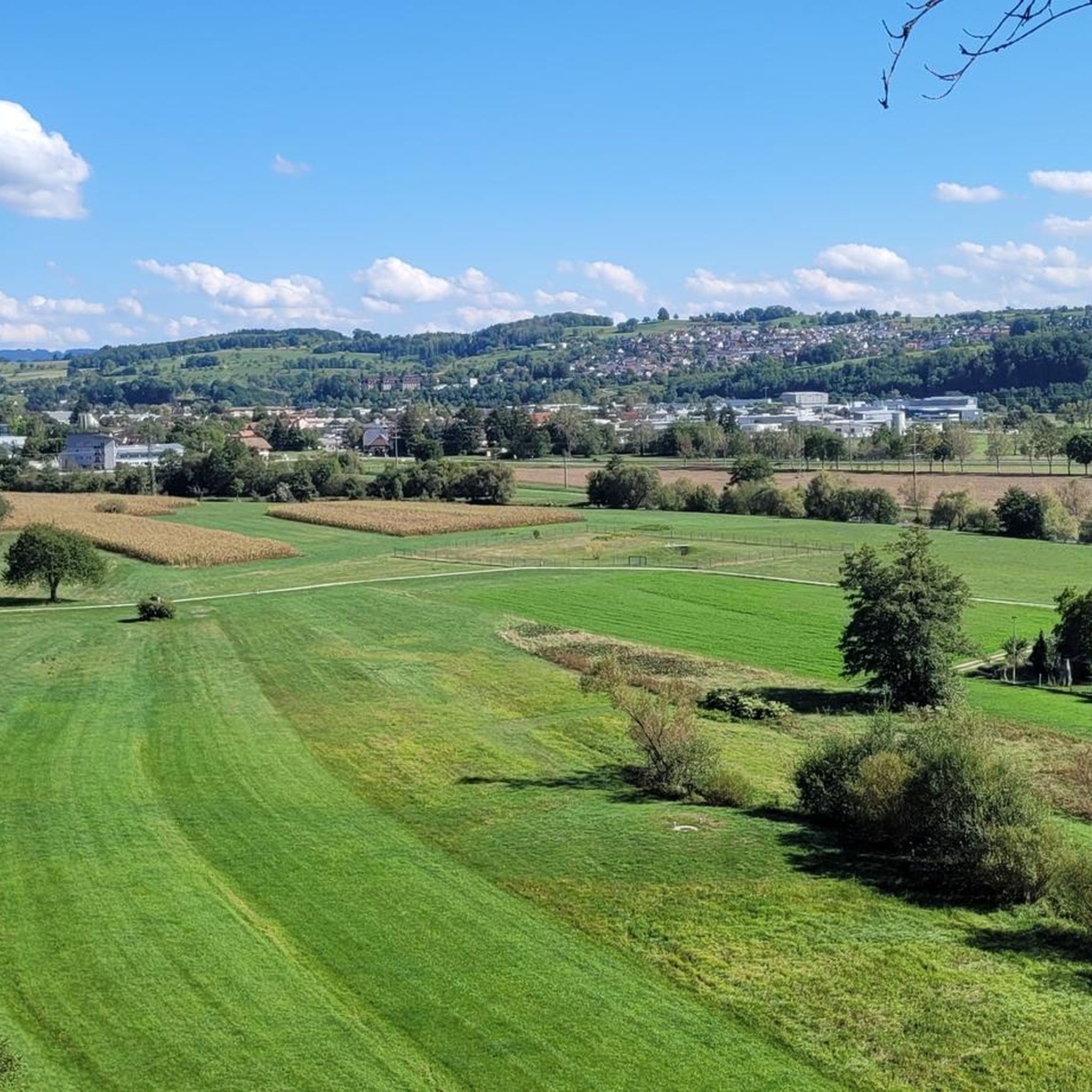
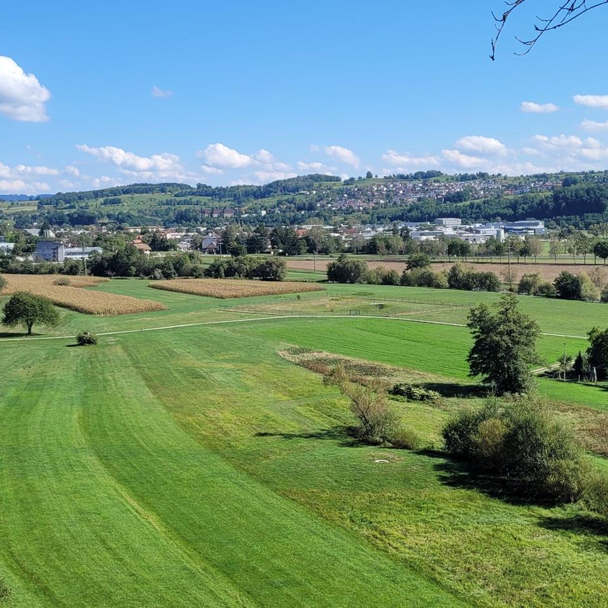
Wonderful view of the countryside, on the edge of the forest, with some Black Forest peaks including the Belchen, Köhlgarten, Blauen, Zeller Blauen, Hohe Möhr, etc. If the visibility is good, you can see as far as the Grand Ballon in the Vosges. There is also a bench to sit and relax on.
1
0

FuG28a "Knickebein" was a German radio beacon system used on German Luftwaffe fighter aircraft at the beginning of World War II. It was further developed by Telefunken from the X process. Knickebein systems were used in night raids in the early stages of the German offensive. Individual target areas could be approached with this method with an accuracy of +/- 1500 m target circle at a combat distance of 250 km, which is sufficient for area targets. Such a system was installed on the Dinkelberg 1939/40 (Dachsig) near Maulburg 47° 38′ 2″ N, 7° 45′ 48″ O47.6339917.7633 19. by the German air communications corps. She was supposed to steer attacks by German bombers over France on her beacon. At the end of 1948 the facility was destroyed by French occupying forces Source reference: Wikipedia
0
0


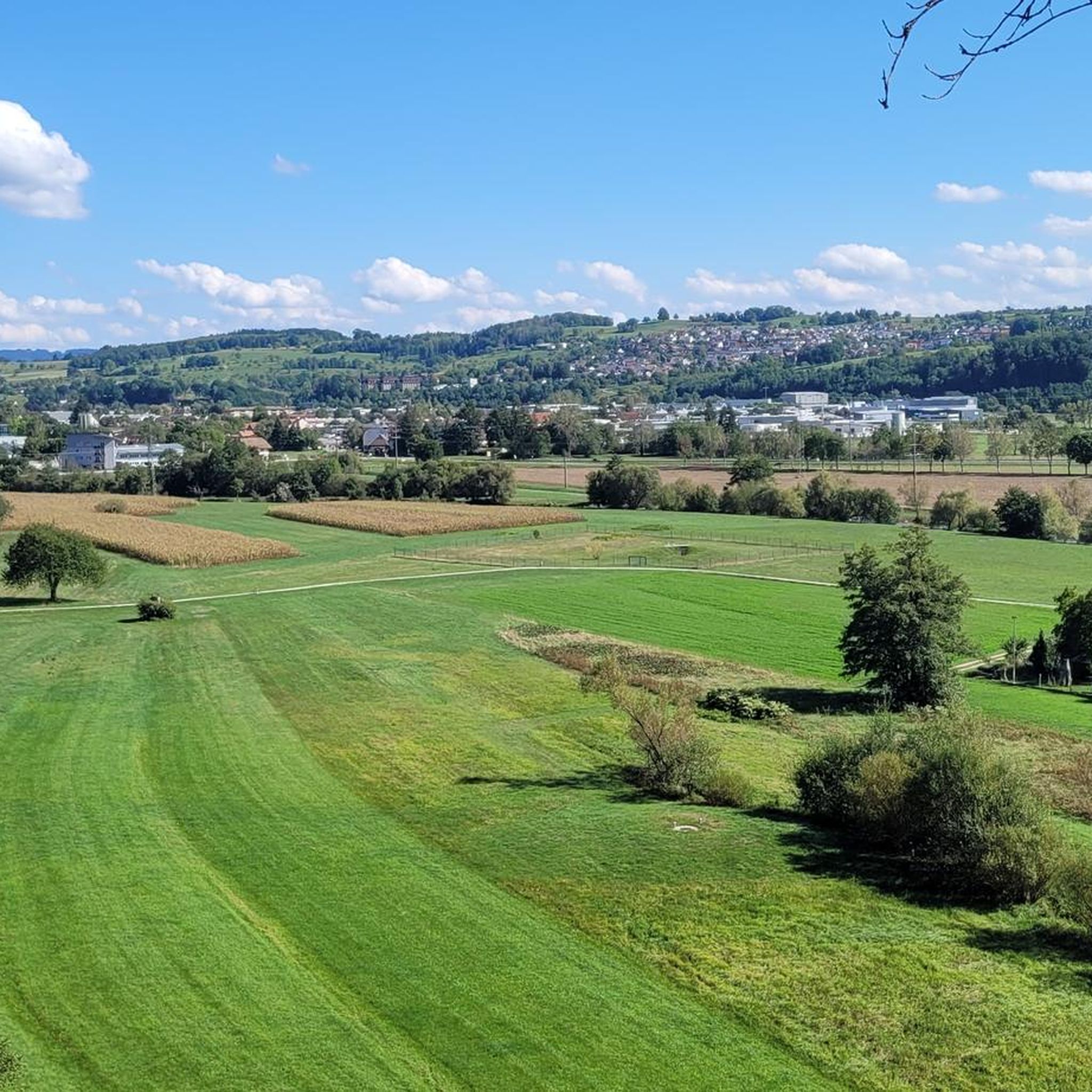
Nice place on the meadow near maulburg
0
0
Frequently Asked Questions
How many hiking trails are available around Maulburg?
Maulburg offers a wide selection of hiking routes, with over 50 trails to explore. These range from easy strolls to more challenging ascents, catering to various fitness levels within the Southern Black Forest region.
What kind of scenic views can I expect while hiking in Maulburg?
Hikers in Maulburg can enjoy expansive views of the Wiesental valley and the High Rhine valley. From elevated points like the Dinkelberg, on clear days, you might even see the magnificent Swiss Jura and the majestic peaks of the Alpine chain. Trails also offer picturesque paths along the Alsbach and through verdant Black Forest landscapes.
Are there any easy hiking trails suitable for beginners in Maulburg?
Yes, Maulburg has plenty of options for beginners. Over 30 of the available routes are classified as easy. An example is the Maulburg Beer Cellar – View of Schopfheim loop from Maulburg, which is an easy 6.5 km path offering views of nearby towns.
Are there any specific landmarks or attractions to see along the hiking trails?
Absolutely. A significant highlight is the Hohe Flum Observation Tower on the Dinkelberg, which provides panoramic views. You can also explore natural attractions like the Tschamber Cave near the German-Swiss border. Additionally, some trails lead past interesting natural features such as the Narrow woodland trails in the Wehra Gorge or the Höll Gorge.
Are there any circular hiking routes in Maulburg?
Yes, many of the trails around Maulburg are circular, allowing you to start and end at the same point. A popular moderate option is the View of Maulburg – View of Black Forest Peaks loop from Maulburg, which offers scenic overlooks.
What do other hikers enjoy most about hiking in Maulburg?
The area is highly rated by the komoot community, with an average score of 4.5 stars from over 140 reviews. Hikers often praise the diverse terrain, from gentle valley paths to more challenging ascents, and the stunning panoramic views of the Wiesental and High Rhine valleys.
Are there family-friendly hiking options in Maulburg?
Maulburg offers several routes suitable for families, especially among its over 30 easy trails. These paths are generally less strenuous and allow for a pleasant outdoor experience with children, often winding through forests or along tranquil waterside scenery like the Alsbach.
Can I bring my dog on the hiking trails in Maulburg?
Many trails in the Maulburg region are dog-friendly, allowing you to enjoy the natural beauty with your canine companion. It's always recommended to keep dogs on a leash, especially in forested areas or near wildlife, and to check local regulations for specific routes.
What is the best time of year to go hiking in Maulburg?
The Southern Black Forest region around Maulburg is beautiful year-round. Spring brings lush greenery and blooming wildflowers, while autumn offers vibrant foliage. Summer is ideal for longer hikes, and even winter can be magical with snow-covered landscapes, though some trails might require appropriate gear.
Are there any trails that lead to water features like lakes or gorges?
Yes, the region around Maulburg features several interesting water-related attractions. You can find trails that lead to the Narrow woodland trails in the Wehra Gorge or the Höll Gorge. Additionally, nearby lakes like Eichener Lake or the Wehr Reservoir can be explored as part of a hiking excursion.
Is public transport available to access hiking trailheads in Maulburg?
Maulburg is well-connected within the Lörrach district. Public transport options, such as local buses, can often provide access to various starting points for hikes. It's advisable to check local bus schedules for specific trailheads before planning your trip.
Where can I park my car when hiking in Maulburg?
Designated parking areas are typically available near popular trailheads and points of interest throughout Maulburg and the surrounding Black Forest region. Look for signs indicating hiker parking at the start of routes or near local attractions.
Most popular attractions around Maulburg

Get inspired with the komoot mobile app


Explore more
Browse the best Hikes in other regions.
