The best traffic-free bike rides around Oytier-Saint-Oblas
4.0
(2)
36
riders
5
rides
No traffic gravel bike trails around Oytier-Saint-Oblas are situated in the Isère department of France, offering a rural landscape for cycling. The area features a mix of forests, hills, combes, streams, and ponds, alongside agricultural expanses. Elevations range from 232 to 376 meters, providing varied terrain suitable for gravel biking. This setting offers quiet country roads and farm tracks for exploration.
Best no traffic gravel bike trails around Oytier-Saint-Oblas
- The most popular no traffic gravel bike trail is View of…
Last updated: July 4, 2026
5.0
(1)
9
riders
33.3km
02:35
440m
440m
Hard gravel ride. Good fitness required. You may need to push your bike for some segments of this route.
3
riders
46.7km
03:24
800m
800m
Hard gravel ride. Very good fitness required. You may need to push your bike for some segments of this route.

Sign up for free
4
riders
46.9km
03:00
460m
460m
Hard gravel ride. Very good fitness required. Mostly paved surfaces. Suitable for all skill levels.
6
riders
39.9km
02:34
490m
490m
Hard gravel ride. Very good fitness required. Mostly paved surfaces. Suitable for all skill levels.
3
riders
Hard gravel ride. Very good fitness required. Mostly paved surfaces. Suitable for all skill levels.
Our route recommendations are based on thousands of hikes, rides, and runs completed by other people on komoot.
Start today with a free account
Your next adventure awaits.
Login or Signup
Popular around Oytier-Saint-Oblas
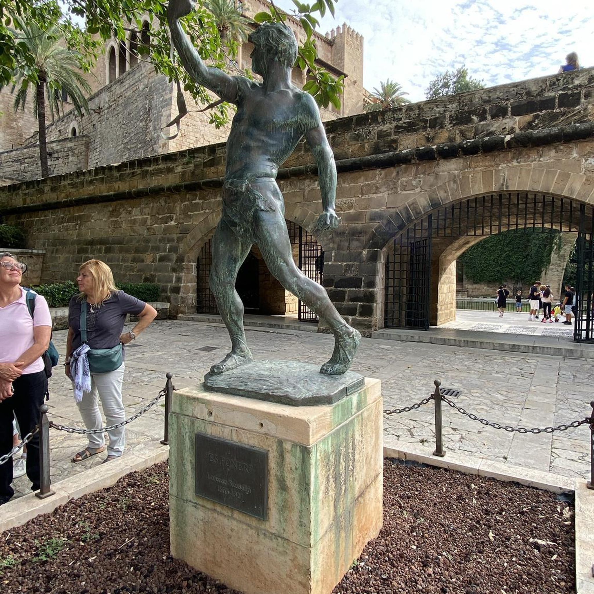
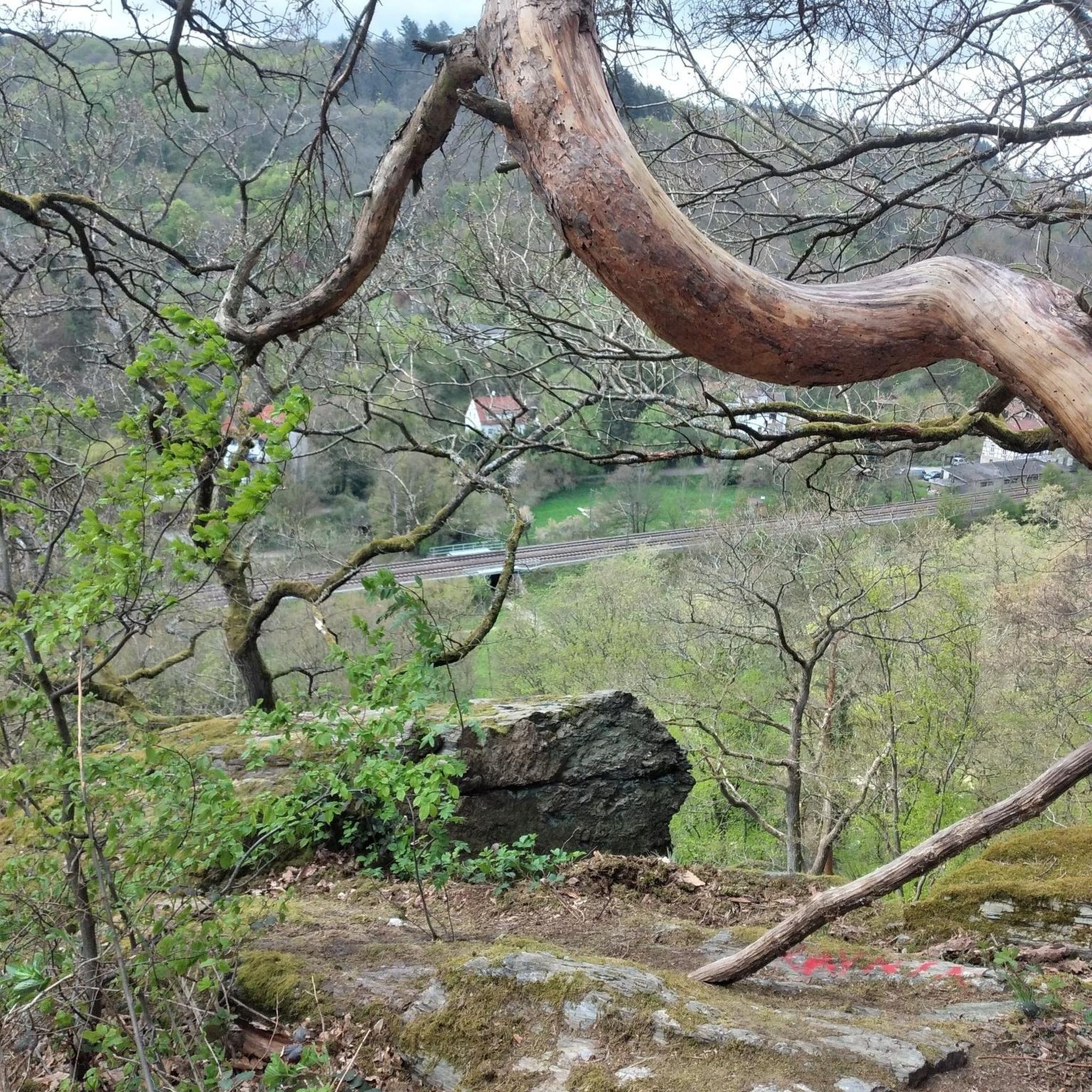
Tips from the Community

Small isolated building in the place called Villieu (former islet in the heart of the Bourgoin marshes), consisting of a small nave lit by a bay on each side and extended by an apse with a lower height than the nave. The facade is pierced by an entrance door surmounted by a basket-handle lintel bearing the inscription 1893 / NOTRE DAME DE VILLEU. https://recensement.patrimoine-religieux.fr/eglises_edifices/38-Isere/38415-Saint-Marcel-Bel-Accueil/150630-ChapelledeVillieu
0
0

Magnificent castle, and very beautiful park! Worth seeing!
1
0

Several caves set up at the bottom of a very steep slope
0
0
a pretty chapel
0
0

The small sacred monument that the biker encounters here is designed somewhat differently than many other wayside crosses. The most common material is wood or stone, but here, metal has been used. The longitudinal beam is unusually long, so that it rises above the fields, visible from afar. The two ends of the crossbeam and the upper end of the longitudinal beam are adorned with an additional decorative element. But regardless of material and design, all crosses have one thing in common: For the faithful observer, they are a sign of the death of Jesus Christ, but at the same time, they always point beyond that to the resurrection.
0
0

maybe even a hundred years old
0
0
Frequently Asked Questions
How many no-traffic gravel bike trails are available around Oytier-Saint-Oblas?
This guide features 5 dedicated no-traffic gravel bike routes around Oytier-Saint-Oblas. These routes offer a diverse experience, ranging from 35 km to 46 km in length, and are generally rated as difficult due to their elevation profiles.
What kind of terrain can I expect on these no-traffic gravel routes?
The terrain around Oytier-Saint-Oblas is characterized by a mix of rural roads, farm tracks, and forest trails. You'll encounter varied landscapes with forests, hills, combes (small valleys), streams, and ponds, providing an engaging and scenic gravel biking experience. The region's natural features ensure a dynamic ride with undulating terrain.
Are there any historical landmarks or natural sights to explore along the gravel trails?
Yes, the region offers several points of interest. You can explore historic sites like the Château de Fallavier and the Château de Septème. For natural beauty, the Lake Saint-Quentin-Fallavier is a popular spot, and some routes may pass through areas with a Sandy Path Through Forest Ravine, offering picturesque views.
What do other cyclists say about gravel biking in Oytier-Saint-Oblas?
The komoot community rates the area highly for its cycling potential, with an average score of 3.0 stars. Cyclists often praise the quiet, rural character of the routes and the diverse natural landscapes, which are perfect for escaping traffic and enjoying the outdoors.
Are these gravel trails suitable for families with children?
While the routes in this guide are generally rated as 'difficult' due to their elevation and length (35-46 km), the 'no traffic' aspect makes them safer for families. However, the difficulty level suggests they are better suited for families with older, more experienced children or those looking for a significant challenge. For easier family rides, consider exploring local farm tracks or less hilly sections of the region.
Can I bring my dog on these no-traffic gravel bike routes?
Generally, dogs are welcome on public trails in rural areas around Oytier-Saint-Oblas, especially on farm tracks and forest paths. However, it's always best to keep your dog on a leash, especially when passing through agricultural land or near wildlife, and to check for any specific local regulations or signage along the route.
Where can I find parking for these gravel bike trails?
Many of the routes start from towns like Marennes, Villefontaine, or Toussieu. These communes typically offer public parking facilities. For example, the route View of Lyon – Pont Robert loop from Marennes begins in Marennes, where you can usually find suitable parking in or near the village center.
Is it possible to reach the starting points of these trails by public transport?
Oytier-Saint-Oblas is a rural commune, and while public transport options exist in the wider Auvergne-Rhône-Alpes region, direct access to trailheads by public transport might be limited. Towns like Vienne and Bourgoin-Jallieu, which are larger hubs near Oytier-Saint-Oblas, have better public transport connections. From there, you might need to cycle a short distance or use a local bus service to reach the specific starting points of the gravel routes.
Are there any circular gravel routes available?
Yes, all the routes featured in this guide are circular, allowing you to start and end at the same point. For instance, the Vers le col de Bel Air – View of Lyon loop from Marennes and the Saint Bonnet Pond – Étang de Chalignieu loop from Villefontaine are excellent examples of circular no-traffic gravel rides.
What is the best season for gravel biking in Oytier-Saint-Oblas?
Spring and autumn are generally the best seasons for gravel biking in Oytier-Saint-Oblas. The weather is typically mild, and the natural landscapes are at their most vibrant. Summer can be pleasant, but be prepared for warmer temperatures. Winter rides are possible, but some trails might be muddy or slippery, especially after rain or snow.
Are there cafes or restaurants along these no-traffic gravel routes?
While the routes themselves focus on no-traffic areas, you'll find cafes and restaurants in the villages and towns near the starting and ending points, such as Marennes, Villefontaine, Toussieu, or the commune of Oytier-Saint-Oblas itself. These are good spots to refuel before or after your ride.
What are the typical distances and elevations for these gravel bike trails?
The no-traffic gravel routes in this guide range from approximately 35 km to 46 km in distance. You can expect significant elevation gains, with ascents typically between 465 meters and 798 meters, making them challenging and rewarding rides. For example, the Chatonday Singletrack Trail – Bois de Savoye loop from Toussieu covers about 40 km with nearly 500 meters of elevation gain.
Most popular routes around Oytier-Saint-Oblas
Most popular attractions around Oytier-Saint-Oblas

Get inspired with the komoot mobile app


Explore more
Browse the best Gravel rides in other regions.
