The best traffic-free bike rides around Bellefontaine
4.6
(183)
5,602
riders
8
rides
No traffic road cycling routes around Bellefontaine, Ohio, are characterized by varied terrain, including Ohio's highest point, Campbell Hill. The region features rolling farm countryside and dedicated paths like the Simon Kenton Trail, which offers both paved and crushed limestone sections. This diverse landscape provides options for road cyclists seeking different experiences, from gentle gradients to more challenging ascents. The area's elevation changes contribute to a network of routes suitable for various skill levels.
Best no traffic road cycling routes…
Last updated: July 4, 2026
4.3
(3)
77
riders
37.2km
01:59
500m
500m
Moderate road ride. Good fitness required. Some segments of this route may be unpaved and difficult to ride.
4.7
(3)
70
riders
39.1km
02:13
680m
680m
Moderate road ride. Good fitness required. Some segments of this route may be unpaved and difficult to ride.

Sign up for free
36
riders
43.9km
02:23
740m
740m
Moderate road ride. Good fitness required. Mostly well-paved surfaces and easy to ride.
3.0
(1)
26
riders
20.6km
00:53
170m
170m
Easy road ride. Great for any fitness level. Mostly well-paved surfaces and easy to ride.
5.0
(1)
12
riders
25.3km
01:08
270m
270m
Easy road ride. Great for any fitness level. Mostly well-paved surfaces and easy to ride.
Get access to more routes and recommendations from other explorers.
Sign up for free
Already have an account?
Our route recommendations are based on thousands of hikes, rides, and runs completed by other people on komoot.
Start today with a free account
Your next adventure awaits.
Login or Signup
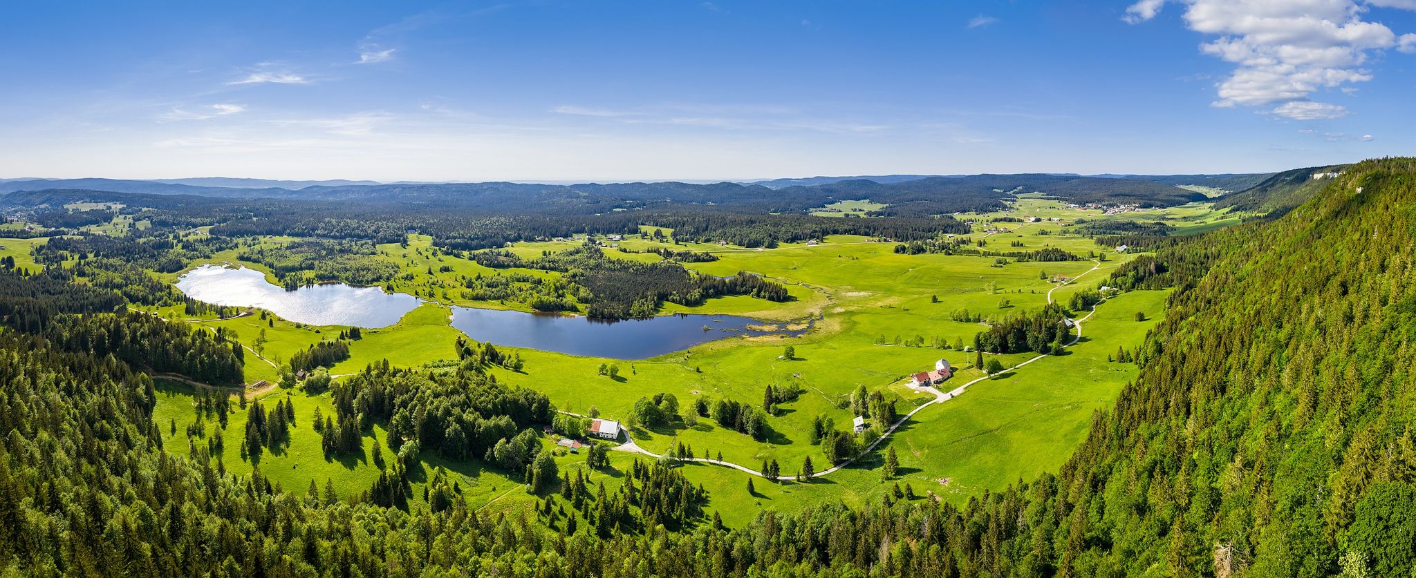
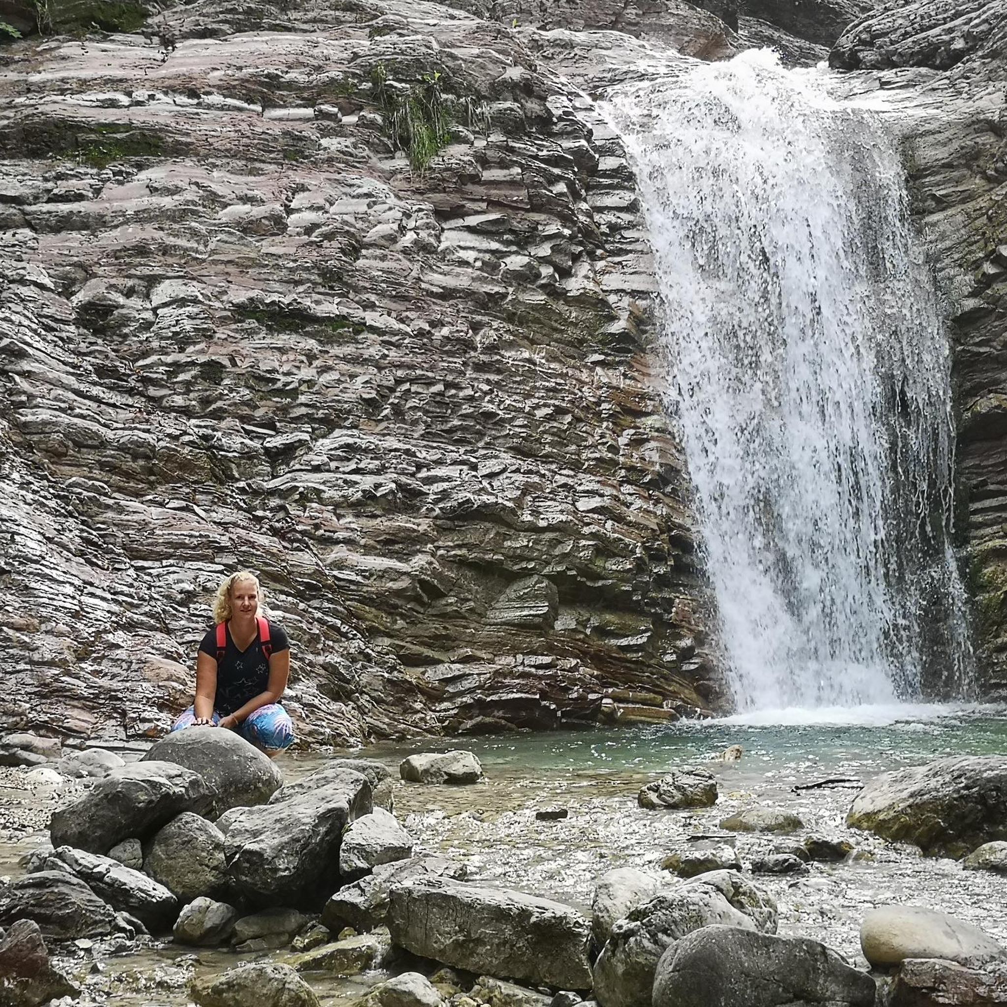
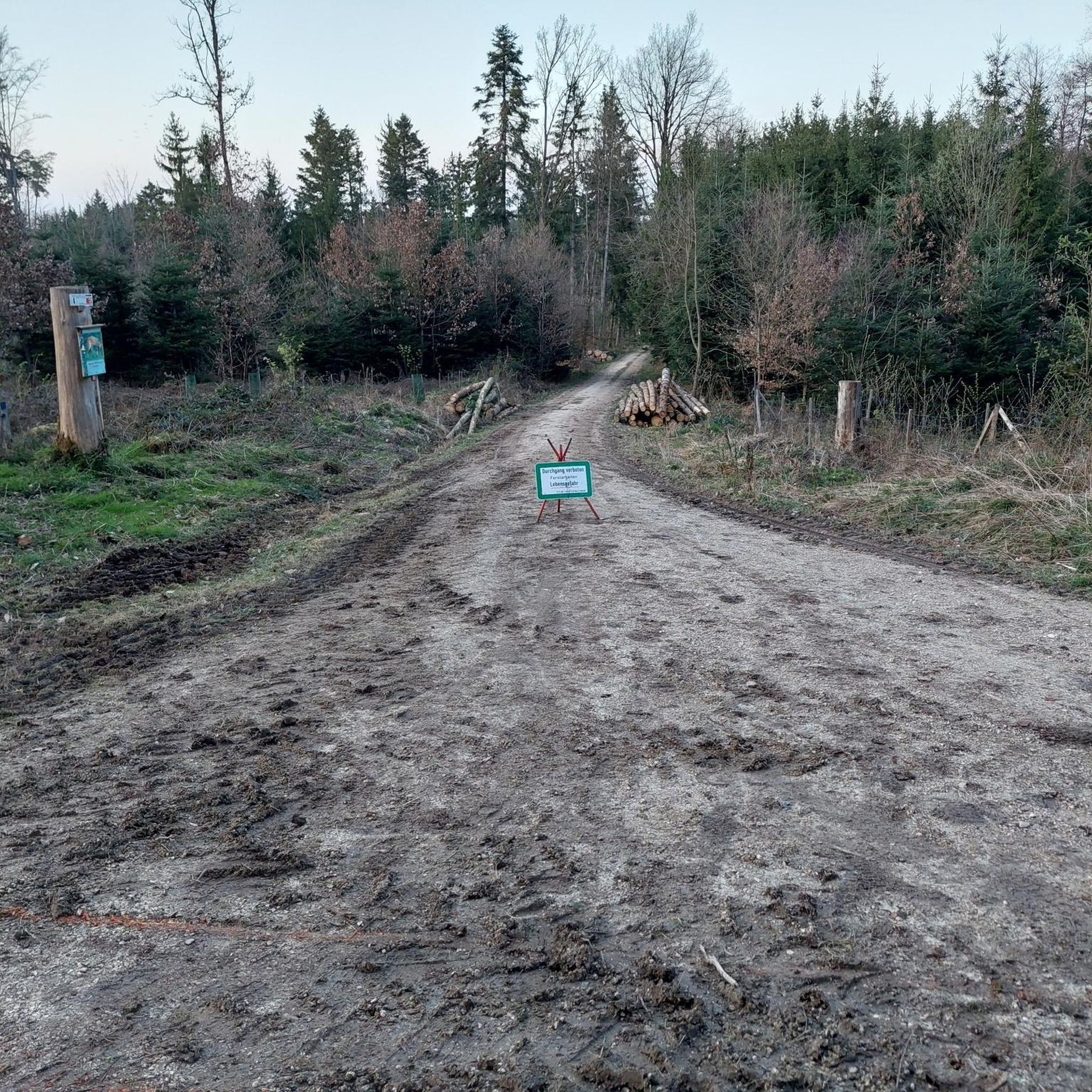
Other adventures around Bellefontaine

Tips from the Community

beautiful lake, unfortunately only publicly accessible in a few places.
0
0

Bikepacking trip with a night bivouac on the shores of Lac des Rousses, beach side. Very windy at night, so wrap up warm. Otherwise, a magnificent lake with few people (early August).
0
0
A very nice border village to relax in after a bike ride (from Geneva in our case). We spent the afternoon and a night camping near the lake. Shops nearby for supplies 👍
1
0

A departure from Lac des Rousses towards Le Pont and back. A not-too-difficult outing of 62 km and 450 m of elevation gain.
0
0

Nice bike café with outdoor terrace.
2
0

The Col de la Faucille is not far, via Mijoux.
0
0
Quality welcome: technical assistance, coffee, pastries.
0
0

La Cure is on the border with France. Following numerous border changes, several buildings have one foot in Switzerland and the other in France. This is particularly the case of the Franco-Swiss hotel located astride the border.
0
0
Frequently Asked Questions
How many no-traffic road cycling routes are available around Bellefontaine?
There are 12 dedicated no-traffic road cycling routes around Bellefontaine, offering a variety of distances and elevations for different skill levels.
What kind of terrain and elevation can I expect on these no-traffic road cycling routes?
The routes around Bellefontaine, Ohio's highest point, offer diverse terrain. You can expect a mix of paved sections and some crushed limestone paths, particularly on trails like the Simon Kenton Trail. The elevation varies from gently rolling farm countryside to more challenging ascents and descents, catering to different cycling preferences.
Are there any circular no-traffic road cycling routes in the Bellefontaine area?
Yes, many of the no-traffic road cycling routes around Bellefontaine are designed as loops. For example, you can explore the Lake des Rousses – Lac des Rousses loop from Bellefontaine, which offers a moderate challenge over 38.5 km.
What are some scenic viewpoints or natural features I can see along these routes?
While cycling, you can enjoy views of Logan County's picturesque rolling countryside. For specific natural features, consider visiting the Langouette Gorges or the Bief de la Ruine Waterfalls, which are notable attractions in the wider region. The area also boasts unique natural preserves like Cedar Bog, known for its rare plant species.
What is the best time of year to go no-traffic road cycling in Bellefontaine?
The spring, summer, and fall months generally offer the most pleasant conditions for road cycling in Bellefontaine. Spring brings blooming wildflowers, while autumn showcases vibrant foliage. Always check local weather conditions before heading out, as Ohio weather can be variable.
Are there any family-friendly no-traffic road cycling options?
Yes, the Simon Kenton Trail, which connects Bellefontaine with nearby towns, offers sections that are suitable for families. Its varied surfaces, including paved and crushed limestone, and generally gentle gradients make it a good choice for a relaxed family ride.
What do other road cyclists enjoy most about cycling in Bellefontaine?
The komoot community rates the cycling experience in Bellefontaine highly, with an average score of 4.57 stars. Cyclists often praise the quiet roads, diverse landscapes, and the unique experience of cycling around Ohio's highest point, offering both scenic beauty and varied terrain.
Are there any longer, more challenging no-traffic road cycling routes for experienced riders?
Yes, for experienced riders seeking a greater challenge, routes like the Mouthe – Mouthe loop from Morbier cover over 63 km with significant elevation gain, providing a demanding yet rewarding experience.
Can I find cafes or places to stop for refreshments along these no-traffic routes?
While the focus is on no-traffic routes, many pass through or near small towns. For instance, towns like West Liberty, located along the Simon Kenton Trail, offer dining options and local treats. It's always a good idea to plan your route and check for amenities in advance.
What are the difficulty levels of the no-traffic road cycling routes in Bellefontaine?
The routes around Bellefontaine range from easy to moderate difficulty. There are 2 easy routes perfect for beginners or a relaxed ride, and 10 moderate routes that offer more distance and elevation for those seeking a greater challenge.
Are there any specific landmarks or points of interest near the no-traffic cycling routes?
Beyond the natural beauty, you can find interesting points like the Col du Marchairuz (1,449 m), a mountain pass that offers scenic views. The region also features unique geological formations like the Ohio Caverns, which are worth exploring if you're looking for an off-bike adventure.
Most popular routes around Bellefontaine
Most popular attractions around Bellefontaine

Get inspired with the komoot mobile app


Explore more
Browse the best Road cycling routes in other regions.
