The best traffic-free bike rides around Urepel
4.8
(5)
26
riders
5
rides
Gravel biking around Urepel offers access to the diverse and challenging terrain of the French Basque Country, nestled within the Pyrenees. The region is characterized by its mountainous landscape, featuring extensive forest tracks, quiet mountain roads, and varied elevations. These paths connect remote villages and provide consistent elevation gains, making it suitable for gravel bikers seeking demanding routes.
Best no traffic gravel bike trails around Urepel
- The most popular no traffic gravel bike trail is Forest Path Near Roncesvalles –…
Last updated: July 4, 2026
4.0
(1)
12
riders
37.6km
02:32
680m
680m
Hard gravel ride. Very good fitness required. Mostly paved surfaces. Suitable for all skill levels.
5.0
(1)
7
riders
60.4km
04:29
1,360m
1,360m
Hard gravel ride. Very good fitness required. Mostly paved surfaces. Suitable for all skill levels.

Sign up for free
5.0
(2)
2
riders
33.6km
02:42
940m
940m
Hard gravel ride. Very good fitness required. You may need to push your bike for some segments of this route.
5.0
(1)
4
riders
40.8km
02:49
720m
720m
Hard gravel ride. Very good fitness required. Mostly paved surfaces. Suitable for all skill levels.
1
riders
21.1km
01:30
240m
240m
Moderate gravel ride. Good fitness required. Mostly paved surfaces. Suitable for all skill levels.
Our route recommendations are based on thousands of hikes, rides, and runs completed by other people on komoot.
Start today with a free account
Your next adventure awaits.
Login or Signup
Popular around Urepel
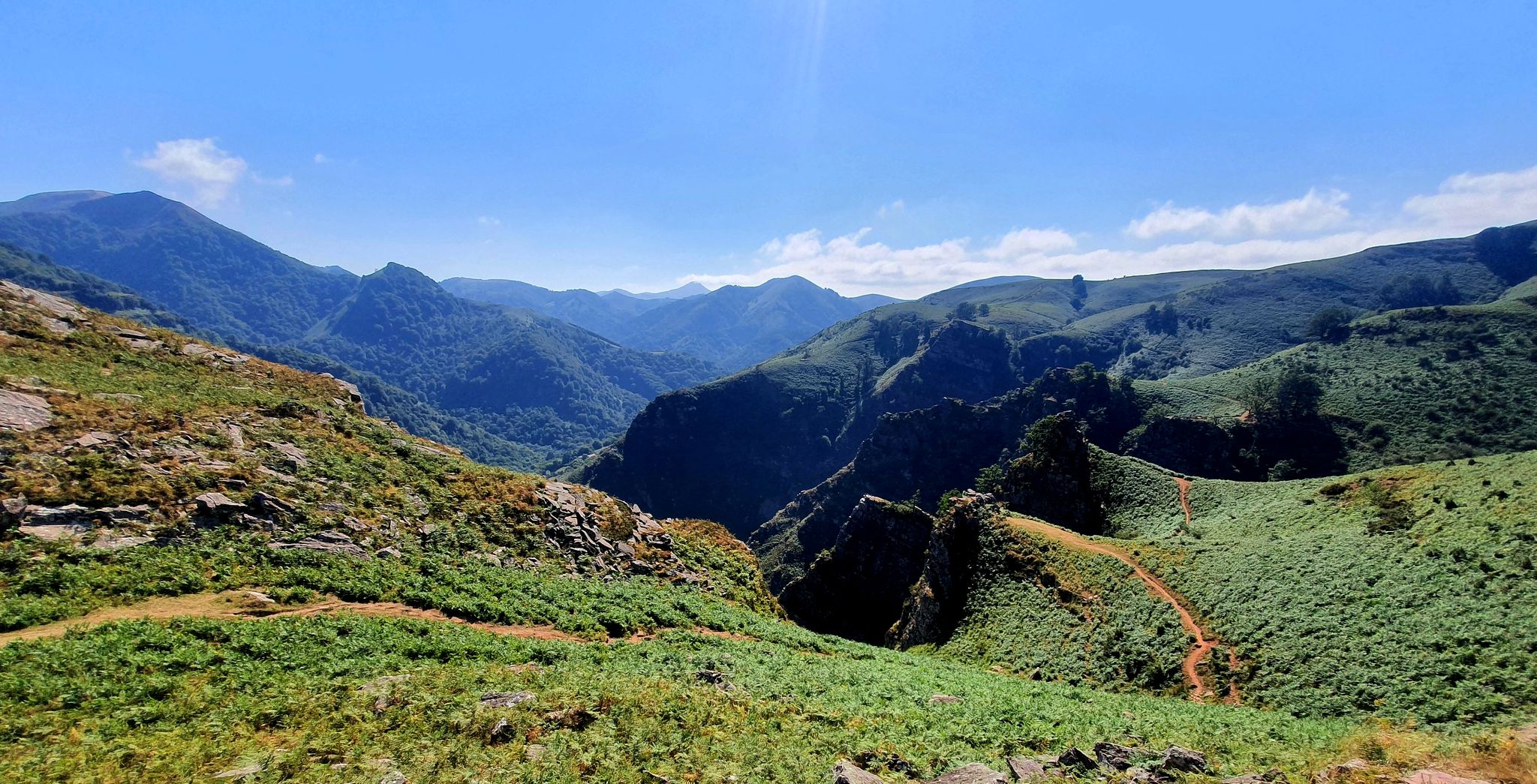
A land rich in character – running in the Basque Country

Haute Route Pyrénéenne – Pyrenees Crossing
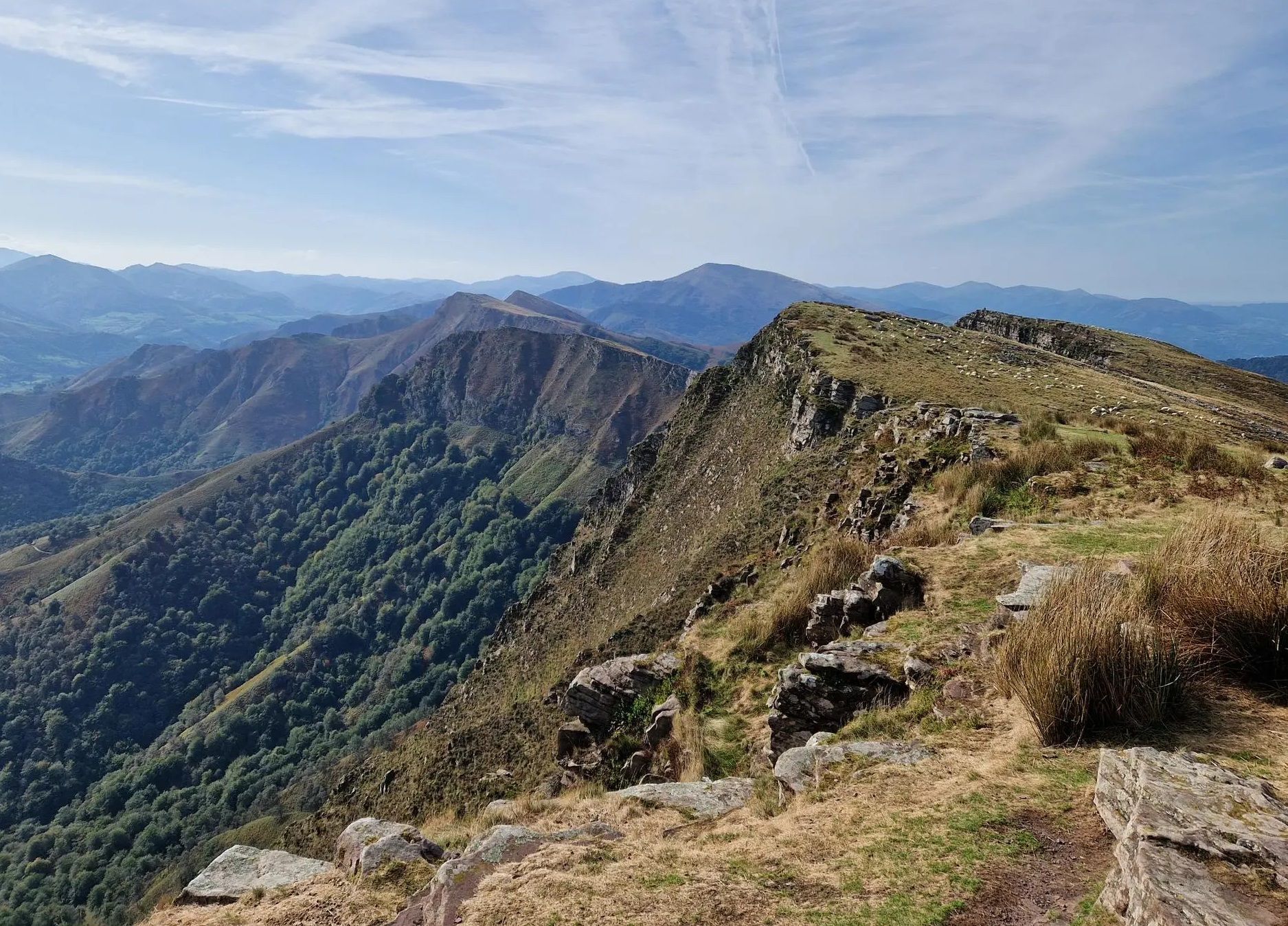
Peace and authenticity – trail running in the Baigorri and Aldudes valley
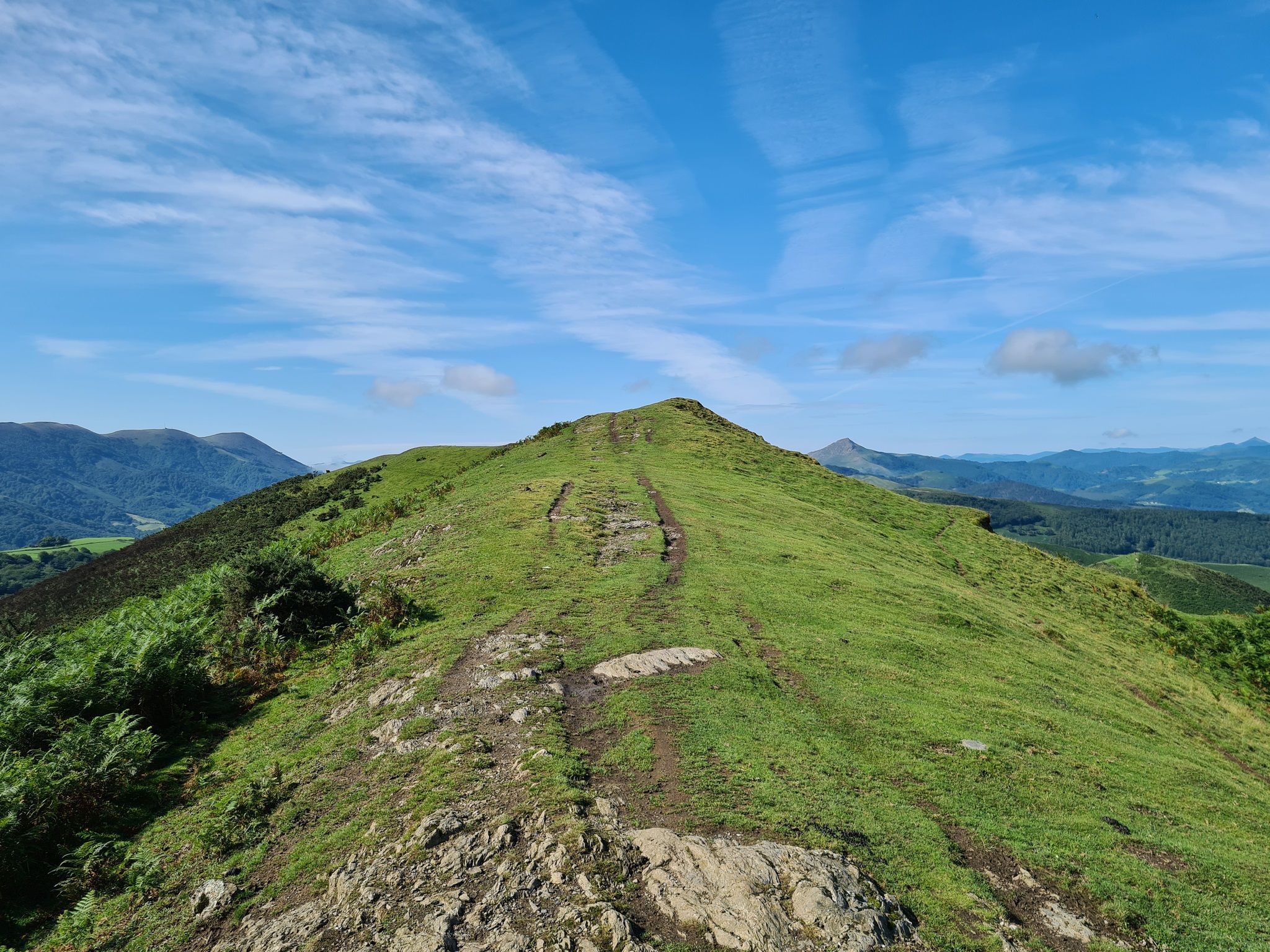
The Pyrenees to Biscay — La Grande Traversée MTB du Pays Basque
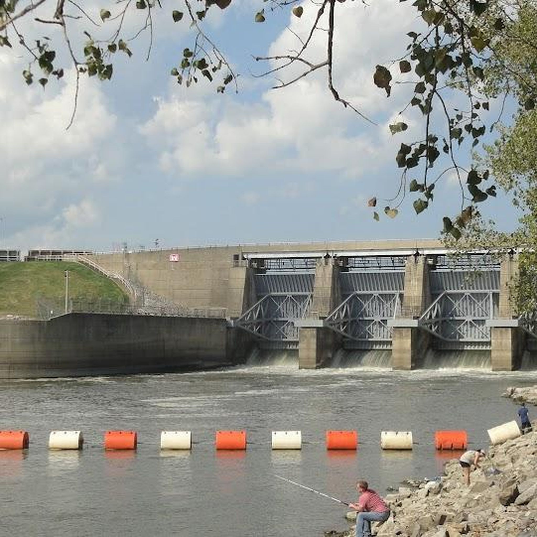
Traffic-free bike rides around Urepel

Traffic-free bike rides around Urepel
Other adventures around Urepel


Tips from the Community

It's the first road sign indicating the distance to Santiago. It's worth a photo.
0
0

Even if you don't plan or have the ability to walk the entire Camino Frances, the stage that reaches Roncesvalles is a must for the beauty of the landscapes and the evocative atmosphere it offers, especially when—descending from the Ibañeta Pass—the boundless Spanish landscape suddenly opens up before your eyes in the golden light of sunset. It's a magical moment, ideally shared with other pilgrims and then enhanced with a visit to the Collegiate Church. The stamp on the Credencial is also beautiful.
1
0

Don't miss a visit to the Pilgrims' Hospital and the Collegiate Church of Santa María. Also, learn about the history of Roncesvalles, as it's very interesting.
0
0

Hemmingway loved this place.
0
0

It is a very pleasant straight of slides... by car... because by bike you notice them in your legs.
0
0
One of the most inhospitable and spectacular mountain passes in the eastern Pyrenees, with several slopes, all of them very difficult. The landscape is wild and wonderful. You can breathe absolute tranquility and you can dedicate yourself exclusively to enjoying the views, the horses, the sheep, the cows and the suffering on the bike. The summit is on the border with Spain, although there is no road that crosses the border, so the pass runs entirely in France. I have climbed it on 2 of its slopes. The first time I climbed it on the slope that crosses the Col d'Orgambide, on the D428 road, which starts from Estérençuby. The first 3 km are very easy, until you cross the detour to go up to Artaburu, where the road begins to have slopes of more than 10%. From there, to the summit, the climb is very hard, around 9%, on a very rough and bumpy road, with a lot of humidity and crossing a wonderful beech forest. Once you reach the top of the Col d'Orgambide, you turn right and continue climbing for another half kilometre with a gradient of 11%. There comes a small descent, to face the last 3 kms, the first 2 very hard with several 13% gradients. The last kilometre is very easy and has panoramic views that are simply wonderful. The second time I climbed it on the side that starts from Arneguy and Ondarolle. This side is harder than the previous one, with a central section that is hellish, being 6 kms at an average of 10%, and a very hard km at 12% and 18% gradients!!! The final part is more gentle. You cross the Croix de Thibault in the penultimate kilometre of the climb. The final kilometre is very gentle and with beautiful and exciting panoramic views.
1
0

Aurizberri, also known as Espinal, is a charming village in the region of Navarra. It is located in the municipality of Erro, in the picturesque Merindad de Sangüesa, and is part of the Auñamendi region. This village was founded in 1269 by Theobald II and is strategically located between the historic towns of Roncesvalles and Gerendiain. Aurizberri/Espinal is a popular stop for pilgrims following the Camino de Santiago, thanks to its location on the famous pilgrimage route that runs through the Pyrenees. The village is surrounded by beautiful countryside known for its rich flora and fauna, including trout and a variety of mushrooms, which play an important role in the local gastronomy.
1
0
Frequently Asked Questions
How many no-traffic gravel bike trails are available around Urepel?
Urepel offers a selection of 4 challenging no-traffic gravel bike trails, perfect for experienced riders looking for a serene and demanding adventure in the Pyrenees.
What is the best time of year for gravel biking in Urepel?
The region around Urepel, nestled in the Pyrenees, offers diverse conditions. While specific weather data isn't provided, the mountainous terrain suggests that spring and autumn would likely offer the most pleasant temperatures and stable conditions for gravel biking, avoiding the extremes of summer heat or winter snow at higher elevations. Always check local forecasts before heading out.
Are there any family-friendly no-traffic gravel routes near Urepel?
The current selection of no-traffic gravel routes around Urepel are all rated as 'difficult', featuring significant elevation gains and distances. These trails are best suited for experienced gravel bikers. For families, it might be advisable to look for easier, shorter sections or explore other areas with less demanding terrain.
What kind of scenery can I expect on these no-traffic gravel trails?
The trails around Urepel traverse the stunning mountainous landscape of the French Basque Country, bordering Spain. You can expect lush valleys, extensive forest tracks, and quiet mountain roads with constant elevation changes. Passes like the Ibañeta Pass offer breathtaking panoramic views, showcasing the diverse and picturesque terrain of the Pyrenees.
What do other gravel bikers say about the no-traffic trails in Urepel?
The komoot community highly rates the gravel biking experience around Urepel, with an average score of 4.75 stars from 5 ratings. Riders often praise the challenging terrain, the quiet, car-free paths, and the stunning natural beauty of the Aldudes Valley and surrounding Pyrenees.
Are there any notable landmarks or natural attractions along the no-traffic gravel routes?
Yes, several natural and historical points of interest can be found near the trails. For instance, the Ibañeta Pass (Col de Burregieta) is a significant historical site and offers incredible views. You might also encounter the Roland Fountain or the beautiful Xorroxin Waterfall, which is a short distance from Urepel.
Can I find loop trails for gravel biking around Urepel?
Yes, all the no-traffic gravel routes listed are designed as loops. For example, you can explore the Forest Path Near Roncesvalles – Roncesvalles loop from Aurizberri, offering a substantial 40.4 km ride with over 730 meters of elevation gain.
Are there any specific challenging no-traffic gravel routes you would recommend?
For a demanding ride with significant climbing, consider the Roncesvalles – Trail to Col de Bentarte loop from Orreaga / Roncesvalles. This route covers 33.6 km and features nearly 940 meters of elevation gain, providing a true test of endurance amidst stunning scenery.
Where can I find parking for gravel biking near Urepel?
While specific parking locations for each trail are not detailed, Urepel is a small village. Cyclists often find parking in or near the village center, or at designated trailheads for popular routes. It's always a good idea to check local signage upon arrival.
Are there any cafes or places to refuel along the no-traffic gravel routes?
The no-traffic gravel routes around Urepel often traverse remote mountain areas. While Urepel itself may have limited options, larger nearby towns or villages like Orreaga / Roncesvalles, which is a starting point for some routes, might offer cafes or restaurants. It is highly recommended to carry sufficient water and snacks, especially on longer rides like the Urrobi Valley – Foz de Iñarbe loop from Aurizberri.
Are dogs allowed on the no-traffic gravel bike trails?
Generally, dogs are welcome on many outdoor trails in the Pyrenees region, especially on forest tracks and mountain roads. However, regulations can vary, particularly in protected areas or private lands. It's always best to keep dogs on a leash and ensure they are well-behaved, especially when encountering wildlife or other trail users. Specific rules for each route are not provided, so local inquiry is advised.
Most popular attractions around Urepel

Get inspired with the komoot mobile app


Explore more
Browse the best Gravel rides in other regions.
