The best traffic-free bike rides around La Rabatelière
4.0
(89)
1,740
riders
72
rides
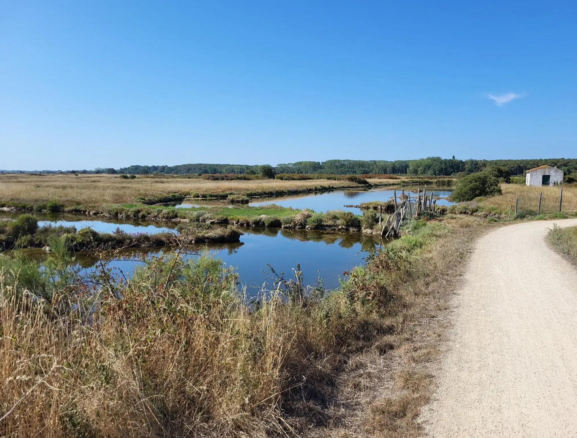
No traffic road cycling routes around La Rabatelière traverse the gentle topography of the Bocage Vendéen, characterized by its hedgerows, fields, and waterways. The region features altitudes ranging from 42m to 77m, offering manageable gradients for road cyclists. Routes often follow quiet country roads, winding through forests like Grasla and alongside rivers such as the Grande Maine and Petite Maine. The landscape provides a mix of open countryside and wooded sections, suitable for various cycling preferences.
Best no traffic road cycling routes around La Rabatelière
- The most popular no traffic road cycling route is Lac de la Bultière – Lac de la Bultière loop from Saint-Fulgent, a 36.3 miles (58.5 km) trail that takes 2 hours 46 minutes to complete. This moderate route circles the significant Lac de la Bultière.
- Another top favourite among local road cyclists is Soubise Park – Château de la Grève loop from Saint-Fulgent, a moderate 47.8 miles (76.9 km) path. This route explores the varied terrain of the region, passing by historical points of interest.
- Local road cyclists also love the Logis de la Chabotterie loop from La Rabatelière, a 30.0 miles (48.3 km) trail leading through the Bocage Vendéen, often completed in about 1 hour 59 minutes.
- Road cycling around La Rabatelière is defined by the distinctive Bocage Vendéen landscape, dense forests, and meandering rivers. The network offers options for both easy and moderate ability levels.
- The routes in La Rabatelière are highly rated by the komoot community with an average score of 3.9 stars from over 60 reviews. More than 1,500 road cyclists have used komoot to explore La Rabatelière's varied terrain.
Last updated: July 4, 2026
3.5
(2)
10
riders
51.9km
02:14
270m
270m
Moderate road ride. Good fitness required. Mostly well-paved surfaces and easy to ride.
4.0
(2)
4
riders
58.6km
02:47
330m
330m
Moderate road ride. Good fitness required. Mostly well-paved surfaces and easy to ride.

Sign up for free
4
riders
76.9km
03:34
460m
460m
Moderate road ride. Good fitness required. Mostly well-paved surfaces and easy to ride.
5
riders
49.1km
02:03
190m
190m
Moderate road ride. Good fitness required. Mostly well-paved surfaces and easy to ride.
7
riders
52.1km
02:12
320m
320m
Moderate road ride. Good fitness required. Mostly well-paved surfaces and easy to ride.
Get access to more routes and recommendations from other explorers.
Sign up for free
Already have an account?
Our route recommendations are based on thousands of hikes, rides, and runs completed by other people on komoot.
Start today with a free account
Your next adventure awaits.
Login or Signup

Other adventures around La Rabatelière

Tips from the Community

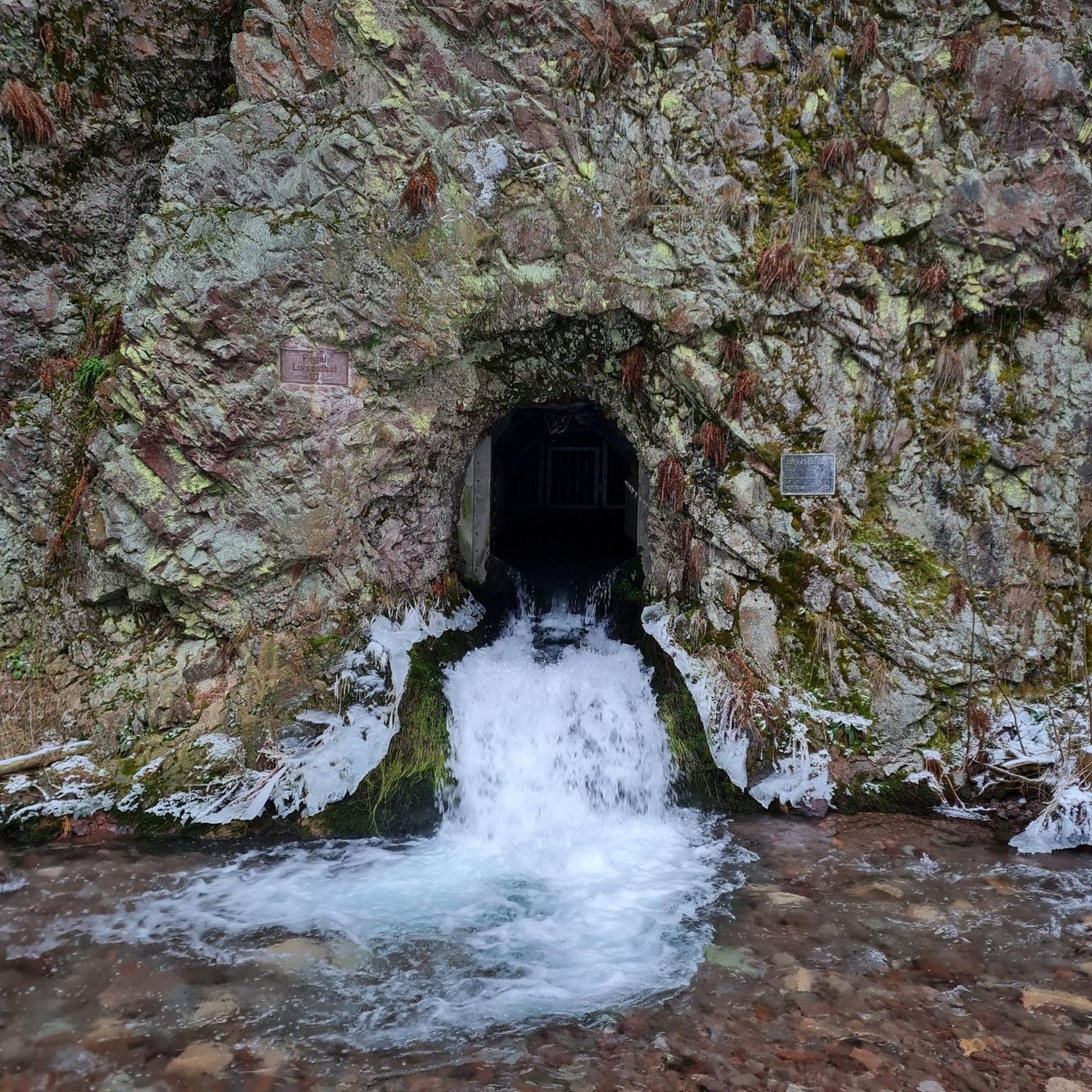
A truly unusual place, worth the detour.
0
0
A charming little church built in 1633 and renovated in 1901 by Father Hilairet. You'll find a water fountain in the parking lot in front of the cemetery.
1
0
Splendid windmill located near the Sanctuary of La Salette. Built in 1830.
1
0

Bultière Lake is an artificial reservoir. The Bultière Dam was built in 1994. It is located in the commune of Chavagne en paillers. It supplies the drinking water network. Its surface area is 72 hectares and contains 5.2 million cubic meters of water. It is possible to walk around the lake via a 15-km trail. This lake, with its exceptionally rich fish population, awaits you with almost every type of fish (perch, pike, zander, catfish, carp, roach, bream, tench, etc.). You can go predator fishing from the shore or from a boat to catch zander, pike, and catfish. It is, of course, possible to still fish for roach, bleak, or bream. Carp are also present in this lake. A night carp fishing route located on the right bank in the Maurosière sector will delight those who love a good catch.
0
0

Very beautiful building
0
0

This vast body of water, popular for fishing and nature walks, offers an ideal setting for a bike ride along its banks. The trails surrounding the lake reveal superb views of the calm water and the surrounding hills.
0
0

The original Marian shrine "La Salette," which is referred to in this patronal feast, is located in the French Alps (Grenoble district) and is an important Marian shrine, even if it has not achieved the same level of fame as other pilgrimage sites honoring the Mother of God—such as Lourdes in the French Pyrenees or Fatima in Portugal. The hiking highlight "La Salette" can be found on komoot at the following link =>> https://www.komoot.com/de-de/highlight/1861054
3
0

Lake Bultière is an artificial water reservoir. The Bultière dam was built in 1994. It is located in the town of Chavagne en strawlers. It supplies the drinking water network. Its surface area is 72 hectares containing 5.2 million m3 of water. it is possible to go around the lake via a 15 km path. This lake of exceptional fish wealth awaits you with almost all kinds of fish (perch, pike, zander, catfish, carp, roach, bream, tench, etc.). You can practice predator fishing from the shore or with a boat to catch zander or pike, catfish.
0
0
Frequently Asked Questions
How many traffic-free road cycling routes are available around La Rabatelière?
There are over 60 dedicated traffic-free road cycling routes around La Rabatelière, offering a variety of experiences. Many of these routes utilize the quiet country roads and designated cycle paths that crisscross the picturesque Bocage Vendéen landscape.
Are there easy, traffic-free road cycling routes suitable for beginners in La Rabatelière?
Yes, La Rabatelière offers 14 easy traffic-free road cycling routes perfect for beginners or those seeking a relaxed ride. An excellent option is the Logis de la Chabotterie loop from La Rabatelière, which covers about 48 km with minimal elevation gain, allowing you to enjoy the scenery without significant effort.
What natural features or landmarks can I see along the traffic-free road cycling routes near La Rabatelière?
The routes often pass through the distinctive Bocage Vendéen landscape, characterized by hedgerows, forests, and waterways. You can cycle past the serene Lac de la Bultière, explore sections of the dense Forêt de Grasla, or discover the unique 19th-century Sanctuaire de la Salette with its citadel-like architecture. Other points of interest include the Grasla Refuge, a historical reconstruction of a village, and the Maison de la Rivière.
Are there any loop routes for traffic-free road cycling around La Rabatelière?
Many of the traffic-free road cycling routes in the area are designed as loops, allowing you to start and finish at the same point. For example, consider the scenic Lac de la Bultière – Lac de la Bultière loop from Saint-Fulgent, which is a moderate 58 km ride, or the longer Soubise Park – Château de la Grève loop from Saint-Fulgent at 76 km.
What is the best time of year for traffic-free road cycling in La Rabatelière?
The region around La Rabatelière is generally pleasant for cycling from spring through autumn. Spring offers lush green landscapes and blooming flora, while autumn provides beautiful fall colors. Summers are typically warm and sunny, ideal for longer rides, though it's always wise to check local weather forecasts.
Are there any long-distance traffic-free road cycling routes in the area?
While many routes are designed for day trips, the broader Vendée Vélo network, which includes sections around La Rabatelière, offers extensive cycling paths. You can connect various local routes to create longer journeys, such as the 76 km Soubise Park – Château de la Grève loop, which provides a substantial ride through varied terrain.
What do other road cyclists enjoy most about cycling in La Rabatelière?
The area is highly rated by the komoot community, with an average score of 3.9 stars. Reviewers often praise the quiet country roads, the diverse Bocage Vendéen landscape with its forests and rivers, and the well-maintained paths that make for enjoyable, traffic-free road cycling experiences.
Can I find cafes or places to stop for refreshments along the traffic-free road cycling routes?
Yes, many routes pass through or near charming villages and towns where you can find local cafes, bakeries, and small shops. It's always a good idea to plan your stops in advance, especially on longer routes, to ensure you have access to refreshments and facilities.
Is public transport available to reach the starting points of these routes?
While La Rabatelière itself is a smaller commune, the broader Vendée region has some public transport options. However, for maximum flexibility and direct access to route starting points, especially for traffic-free routes that often begin in more rural settings, traveling by car is generally recommended. Some routes, like those part of the Vendée Vélo Tour, might have better connections.
Where can I park my car when starting a traffic-free road cycling route in La Rabatelière?
Parking is typically available in the centers of La Rabatelière and surrounding villages like Saint-Fulgent or Chavagnes-en-Paillers, which serve as common starting points for many routes. Look for designated public parking areas, often near churches or town halls. For routes like the Grasla Refuge loop from Chavagnes-en-Paillers, parking would be available in Chavagnes-en-Paillers.
Are the traffic-free road cycling routes in La Rabatelière suitable for advanced cyclists?
While many routes offer gentle topography, advanced cyclists can find challenges by combining multiple routes or seeking out the longer, moderate-difficulty options. The region's varied terrain, with its rolling hills and extensive network of quiet roads, allows for longer distances and higher cumulative elevation gains, such as the 52 km Ok loop from Saint-Fulgent.
Most popular routes around La Rabatelière
Most popular attractions around La Rabatelière

Get inspired with the komoot mobile app


Explore more
Browse the best Road cycling routes in other regions.
