The best traffic-free bike rides around Bellegarde-Sur-Valserine
4.8
(6)
51
riders
3
rides
Gravel biking around Bellegarde-Sur-Valserine offers diverse terrain, situated between the Jura mountains and the Rhône and Valserine rivers. The landscape is characterized by deep river gorges, expansive plateaus, and dense forests, providing varied routes for gravel cyclists. This region features both paved and unpaved sections, with significant elevation changes in areas like the Jura massif. The Valserine river, designated as a "Wild River," carves through limestone, creating striking natural features.
Best no traffic gravel bike trails around Bellegarde-Sur-Valserine
- The most popular no traffic gravel bike trail is Plateau de Retord – Terments Cross loop from Ochiaz, a 15.0 miles (24.1 km) trail that takes 2 hours 6 minutes to complete, offering panoramic views from the Plateau de Retord.
- Another top favourite among local gravel bikers is Col de Richemond (1060 m) – Plans d'Hotonnes Station loop from Hotonnes, a difficult 12.3 miles (19.8 km) path that includes ascents through the Jura mountains.
- Local gravel bikers also love the ViaRhôna Vulbens-Seyssel – View of the Rhône valley loop from Valleiry, a 19.0 miles (30.5 km) trail leading through the scenic Rhône valley, often completed in about 2 hours 11 minutes.
- Gravel biking around Bellegarde-Sur-Valserine is defined by river valleys, the Jura mountains, and the Plateau de Retord. The network offers options for different ability levels, from moderate paths to more challenging routes with significant climbs.
- The routes in Bellegarde-Sur-Valserine are highly rated by the komoot community with an average score of 4.75 stars from 4 reviews. More than 30 gravel bikers have used komoot to explore Bellegarde-Sur-Valserine's varied terrain.
Last updated: May 23, 2026
63.6km
04:53
1,680m
1,690m
Hard gravel ride. Very good fitness required. Mostly paved surfaces. Suitable for all skill levels.
5.0
(2)
15
riders
29.7km
02:35
640m
640m
Hard gravel ride. Very good fitness required. Mostly paved surfaces. Suitable for all skill levels.

Sign up for free
5.0
(2)
10
riders
24.1km
02:06
480m
480m
Hard gravel ride. Very good fitness required. Mostly paved surfaces. Suitable for all skill levels.
2
riders
19.8km
01:50
460m
460m
Hard gravel ride. Very good fitness required. Mostly paved surfaces. Suitable for all skill levels.
5.0
(1)
6
riders
30.6km
02:11
550m
550m
Hard gravel ride. Very good fitness required. Mostly paved surfaces. Suitable for all skill levels.
Our route recommendations are based on thousands of hikes, rides, and runs completed by other people on komoot.
Start today with a free account
Your next adventure awaits.
Login or Signup
Popular around Bellegarde-Sur-Valserine
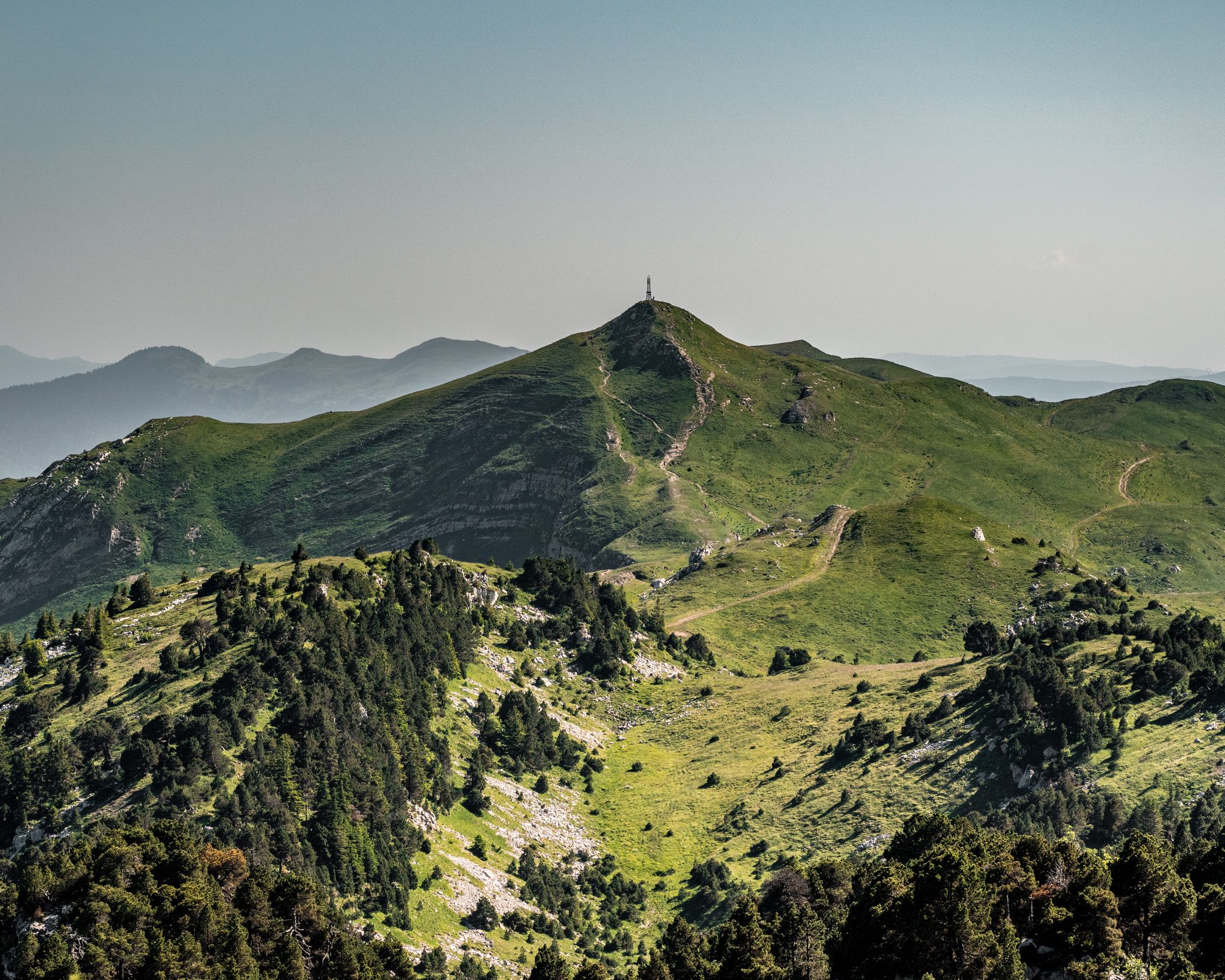
GRP Grand Tour de la Valserine
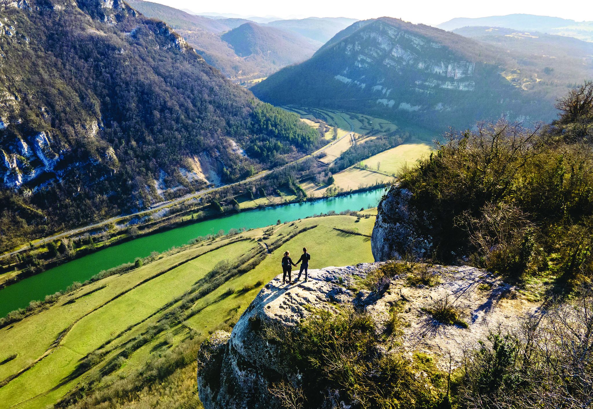
Secrets of the Ain – 10 wonderful watery hikes
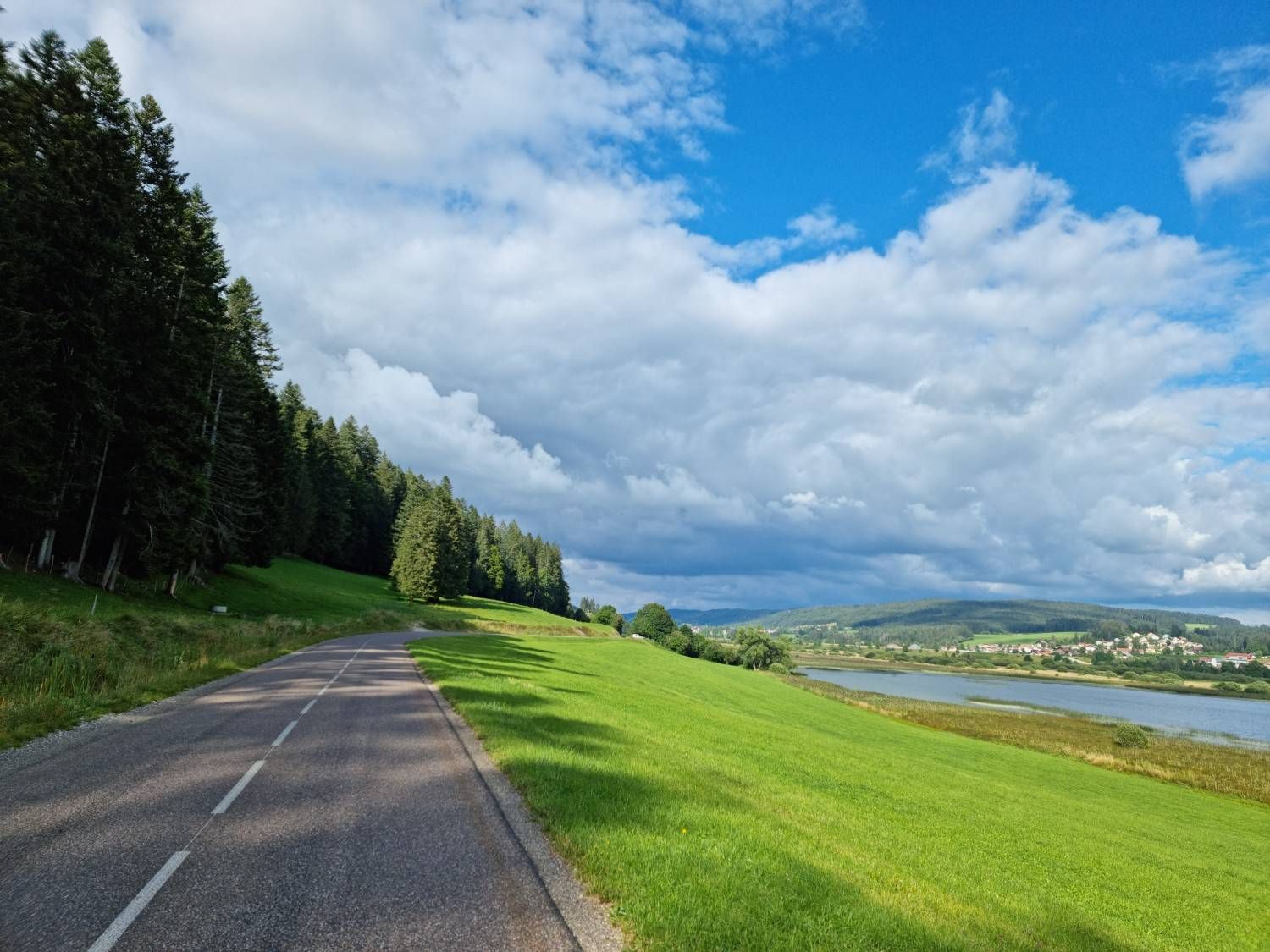
A history of borders — La Grande Traversée du Jura
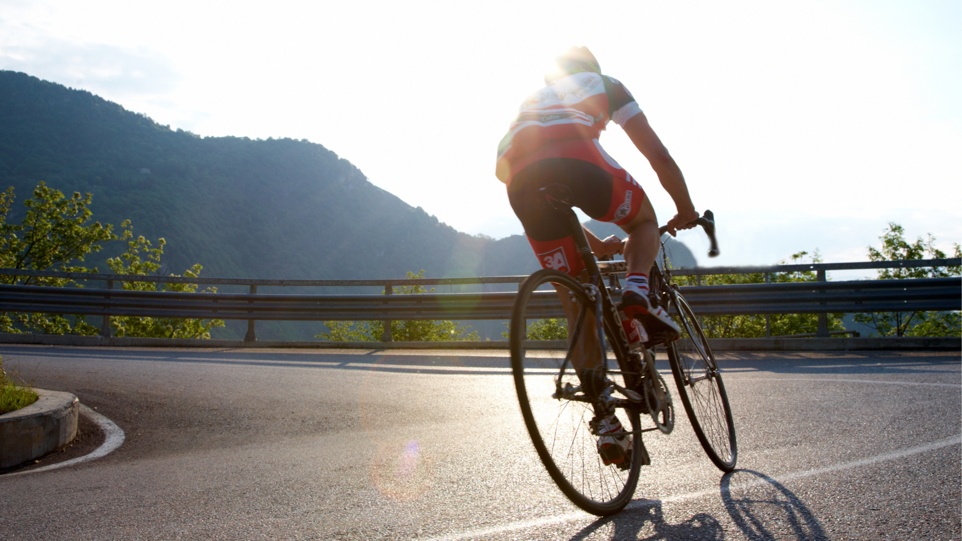
Sur les Routes de l'Évasion : L'Appel Irrésistible du Pays de Gex

Traffic-free bike rides around Bellegarde-Sur-Valserine
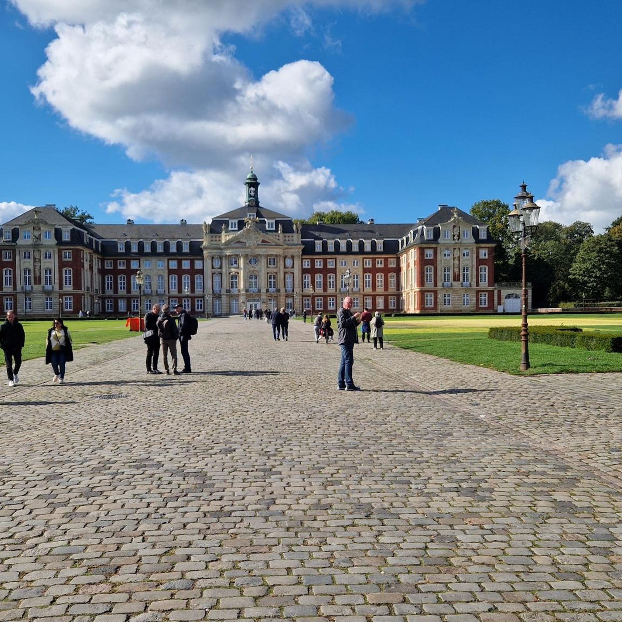
Traffic-free bike rides around Bellegarde-Sur-Valserine
Other adventures around Bellegarde-Sur-Valserine


Tips from the Community

In addition to being the starting point for several walking and cycling routes, the La Praille estate offers everything you need to regain your strength after an outing. Besides accommodation and catering at the inn, there is a wellness area (spa and Nordic bath) to recharge your batteries in a magnificent mountain setting.
0
0

The Retord farm, located on the plateau of the same name, allows you to discover local products and offers a pleasant stop in a relaxing natural setting.
0
0

Little-known pass but very beautiful little road!
0
0
This is the "true summit," a little higher than the Col de Richemond. A sign indicates the Porte du Valromey. The start of the sublime "Corniche du Valromey" is also located here!
0
0


Col de la Clye, perched on a discreet road between the Combe du Val and the Retord plateau, unveils a peaceful pastoral setting. Its isolated atmosphere makes it a pretty passage on the Grandes Traversées du Jura route.
1
0
The Col de Valorse is nestled between the Haut-Bugey and the Valserine valley, east of the Ain. This pass offers a regular climb in the heart of a wild forest landscape.
1
0

Frequently Asked Questions
What kind of terrain can I expect on no-traffic gravel bike trails around Bellegarde-sur-Valserine?
The region offers a diverse and rugged landscape for gravel biking. You'll encounter a mix of paved and unpaved sections, traversing deep river gorges, expansive plateaus like the Plateau de Retord, and dense Jura forests. Expect significant elevation changes, particularly closer to the Jura mountains, providing a good challenge for gravel cyclists.
Are there any challenging no-traffic gravel routes for experienced riders?
Yes, the area is known for its challenging routes. For instance, the Lake Nantua – View of Lake Nantua loop from Hotonnes is a difficult 58 km ride with over 1000 meters of elevation gain. Another demanding option is the ViaRhôna Vulbens-Seyssel – View of the Rhône valley loop from Valleiry, covering over 30 km with significant climbs.
What natural features or viewpoints can I discover along these car-free gravel trails?
Many routes offer stunning natural features and panoramic views. You can explore areas near the Valserine river, known for its deep gorges and ravines, or cycle towards the Plateau de Retord for wide-open spaces and potential views of the Alps. The Pertes de la Valserine, where the river disappears into limestone, is another striking natural attraction accessible from nearby trails. For river views, consider the View of the Rhône Gorge from Léaz.
Are there any circular no-traffic gravel bike routes available?
Yes, several routes are designed as loops, allowing you to start and finish at the same point. Examples include the Plateau de Retord – Terments Cross loop from Ochiaz, which takes you through varied landscapes, and the Col de Richemond (1060 m) – Plans d'Hotonnes Station loop from Hotonnes, offering a scenic journey through the mountains.
What is the best time of year for gravel biking in Bellegarde-sur-Valserine?
The region is excellent for gravel biking from spring through autumn. Spring brings lush greenery and pleasant temperatures, while autumn offers vibrant foliage. Summer is also popular, but be prepared for warmer weather. Winter can transform the higher elevations, like the Plateau de Retord, into snowshoeing areas, making some gravel routes less accessible for biking unless specifically equipped for snow.
Are there any family-friendly no-traffic gravel trails?
While many routes in the immediate area tend to be more challenging, the region does offer diverse terrain. For easier, less technical rides, look for sections of the ViaRhôna or paths in flatter valley areas. Always check the route's difficulty and elevation profile before heading out with family.
Where can I find parking for these no-traffic gravel bike trails?
Parking is typically available at the starting points of many routes, especially in or near villages like Ochiaz, Hotonnes, or Valleiry. For example, the Plateau de Retord – Terments Cross loop starts from Ochiaz, and the Col de Richemond loop begins in Hotonnes. Specific parking details are often provided on individual route pages.
Can I access these gravel trails using public transport?
Accessing some trailheads by public transport can be challenging due to the rural nature of many starting points. Bellegarde-sur-Valserine itself has a train station, which can serve as a base. However, reaching specific, more remote trailheads often requires a car or a short taxi ride. It's advisable to check local bus schedules for connections to smaller villages if planning to rely on public transport.
What are the typical lengths of the no-traffic gravel bike trails in this area?
The no-traffic gravel trails in the region vary in length, catering to different preferences. You can find routes ranging from moderate distances of around 20 km, such as the Vuache Trail – Borbannaz Waterfall loop from Savigny (26.5 km), to longer, more demanding rides like the Lake Nantua loop, which spans over 58 km.
Are there any waterfalls or other water features along the car-free gravel routes?
Yes, the region is rich in water features. The Pertes de la Valserine is a notable natural attraction where the Valserine river carves deep gorges. Additionally, the Vuache Trail – Borbannaz Waterfall loop from Savigny specifically highlights the Borbannaz Waterfall as a point of interest along its route.
What do other gravel bikers enjoy most about the no-traffic routes in Bellegarde-sur-Valserine?
The area is highly rated by the komoot community, with an average score of 4.75 stars. Reviewers often praise the region's 'rugged beauty,' the tranquility of the car-free paths, and the diverse terrain that offers both challenging climbs and scenic rides through forests and open plateaus. The sense of adventure in the pastures and the stunning views of the Jura mountains are frequently highlighted.
Most popular routes around Bellegarde-Sur-Valserine
Most popular attractions around Bellegarde-Sur-Valserine

Get inspired with the komoot mobile app


Explore more
Browse the best Gravel rides in other regions.
