The best traffic-free bike rides around Mazamet
3.8
(15)
165
riders
7
rides
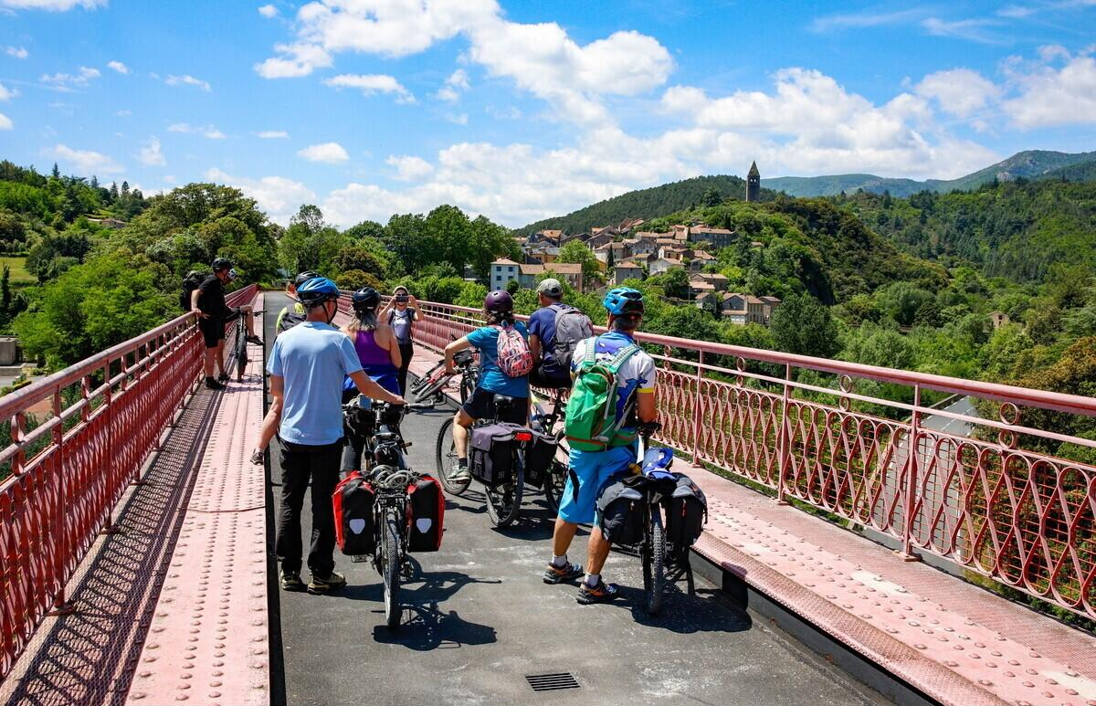
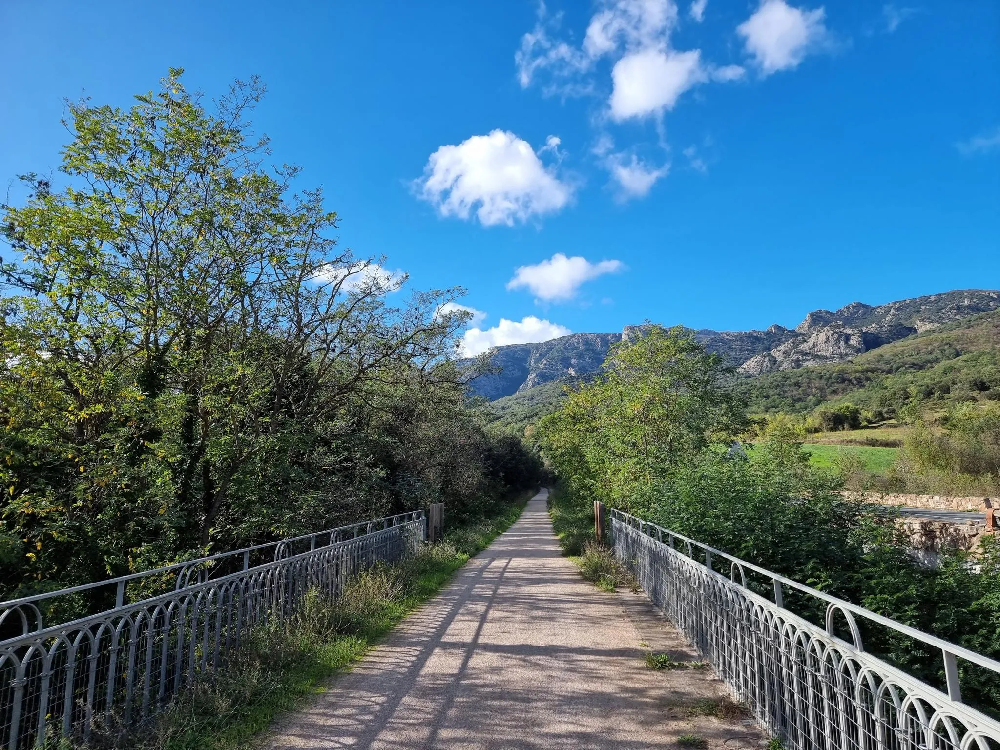
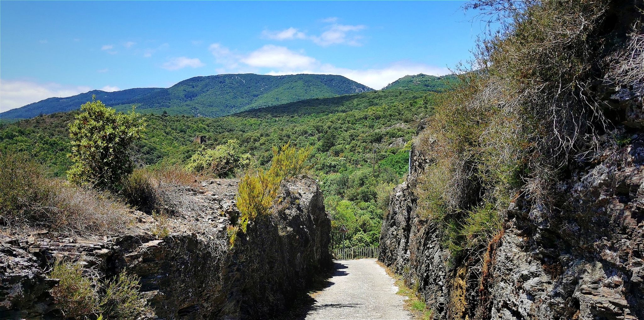
No traffic gravel bike trails around Mazamet are found at the foot of the Montagne Noire in the Tarn department of southern France. The region features a diverse landscape, including dense forests, peaceful waterways, and rolling hills, providing varied terrain for gravel biking. A key feature is the Voie Verte Passa Païs, a traffic-free route utilizing a former railway line, offering gentle gradients through the Haut-Languedoc Regional Natural Park. The Montagne Noire itself provides mountainous terrain, forests, and streams, ideal…
Last updated: May 22, 2026
6
riders
32.6km
02:06
350m
350m
Hard gravel ride. Good fitness required. You may need to push your bike for some segments of this route.
5.0
(1)
6
riders
37.3km
02:05
380m
380m
Moderate gravel ride. Good fitness required. Mostly paved surfaces. Suitable for all skill levels.

Sign up for free
3
riders
54.9km
04:04
1,410m
1,410m
Hard gravel ride. Very good fitness required. Mostly paved surfaces. Suitable for all skill levels.
3
riders
40.8km
02:34
760m
760m
Hard gravel ride. Very good fitness required. Mostly paved surfaces. Suitable for all skill levels.
3
riders
29.1km
01:52
490m
490m
Hard gravel ride. Very good fitness required. Mostly paved surfaces. Suitable for all skill levels.
Get access to more routes and recommendations from other explorers.
Sign up for free
Already have an account?
Our route recommendations are based on thousands of hikes, rides, and runs completed by other people on komoot.
Start today with a free account
Your next adventure awaits.
Login or Signup
Popular around Mazamet

Other adventures around Mazamet


Tips from the Community

The Alzeau dam (or d'Alzau[1]), located in the commune of Arfons, in the Tarn[2], is the starting point of the rigole de la Montagne, which then feeds the Canal du Midi. It is located on the border with the Aude department, and is accessible via the commune of Lacombe. (Wikipedia)
0
0

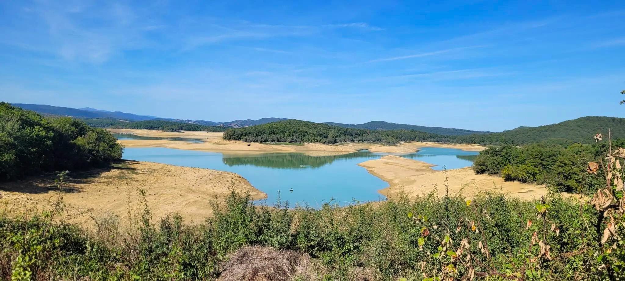
The Cammazes Dam is located in the Montagne Noire massif in the Tarn department. It provides a drinking water reserve for the municipalities around Revel. Built between 1954 and 1957 and commissioned in 1958, the Cammazes Dam is located on the Sor River, between the municipalities of Cammazes and Sorèze in the Tarn department, and the municipality of Saissac in the Aude department. It forms Lake Cammazes, which also receives excess water from the mountain channel via the Conquet spillway. The structure is intended for drinking water supply and irrigation. It supplies 200 municipalities, representing over 170,000 inhabitants. The surface area of the body of water is approximately 90 hectares. Its reservoir volume is 18.8 million cubic meters; the watershed area is 30 km². The operator is the Montagne Noire Water Institution. The water is piped to the Picotalen treatment plant. It also serves as a reserve for the Canal du Midi via a water intake feeding the mountain channel (water rights of 4 million cubic meters) (Wikipedia)
0
0
Covering an area of 40,000 square meters, Lake Pradelles-Cabardès offers a pleasant waterfront walk. Dug in 1972, Lake Birotos is an artificial lake with peaceful water. In summer, swimming is permitted and supervised by a lifeguard from July 1 to August 31. For the more adventurous, a mini-island in the middle of the lake is accessible by swimming.
0
0
A beautifully situated lake near Pradelles-Cabardès in the Montagne-noire, invites you to swim or just relax!
0
0


Frequently Asked Questions
What kind of terrain can I expect on no-traffic gravel bike trails around Mazamet?
The region around Mazamet offers a diverse mix of terrain, from the relatively flat and traffic-free Voie Verte Passa Païs, which follows a former railway line, to more challenging routes in the Montagne Noire. You'll encounter dense forests, peaceful waterways, rolling hills, and some mountainous sections, with surfaces ranging from compacted gravel to forest paths. The Passa Païs, for instance, transitions from Atlantic-influenced landscapes with prairies and forests to Mediterranean garrigue and vineyards.
Are there any long-distance, traffic-free gravel routes in the Mazamet area?
Yes, the primary long-distance, traffic-free option is the Voie Verte Passa Païs. This approximately 80-kilometer route connects Mazamet to Bédarieux, offering a safe and relatively flat experience through the Haut-Languedoc Regional Natural Park. While the routes listed in this guide are generally shorter, they can often be linked to sections of the Passa Païs for extended rides.
What are some natural features or landmarks I can see along these quiet gravel trails?
Many trails offer stunning views of the Montagne Noire, which is covered in forests and dotted with lakes. You might encounter the dramatic La Passerelle de Mazamet (footbridge) linking to the medieval village of Hautpoul, or even the impressive Cubserviès Waterfall. The Arnette Valley and Gorges are also prominent features, offering scenic views.
Are there any circular gravel bike routes around Mazamet that avoid traffic?
While the Voie Verte Passa Païs is linear, many of the routes in this guide are designed as loops that minimize traffic. For example, the Gorges du Banquet loop from Mazamet offers a circular experience with significant elevation gain, exploring the natural beauty of the area. Another option is the Lampy – Alzeau Water Intake loop from Lacombe, which provides a challenging circular ride.
What is the best time of year for gravel biking in Mazamet?
The region is generally pleasant for gravel biking from spring through autumn. Spring offers lush greenery and comfortable temperatures, while autumn provides beautiful foliage. Summer can be warm, especially in the Mediterranean-influenced areas, but the higher elevations of the Montagne Noire offer cooler conditions. Winter can be cold and wet, with some higher trails potentially experiencing snow or ice.
Are there any family-friendly, traffic-free gravel bike trails suitable for beginners?
The Voie Verte Passa Païs is an excellent choice for families and beginners due to its gentle gradients and traffic-free nature. It's explicitly designed to be accessible for all skill levels. While many routes in this guide are rated 'difficult,' sections of the Passa Païs can be enjoyed for shorter, easier rides.
Where can I find parking for these quiet gravel bike trails?
Parking is generally available in Mazamet itself, particularly near the start of the Voie Verte Passa Païs. For routes starting outside the town, such as the Pic de Nore – Pic de Nore Summit loop from Mas-Cabardès, you'll typically find designated parking areas in the smaller villages or at trailheads. It's always advisable to check specific route details for parking information.
What do other gravel bikers enjoy most about the trails in Mazamet?
The area is highly rated by the komoot community, with an average score of 3.7 stars. Reviewers often praise the diverse landscapes, from the tranquil forests of the Montagne Noire to the scenic river valleys, and the opportunity to explore historic villages like Hautpoul. The presence of dedicated traffic-free paths like the Voie Verte Passa Païs is also a significant draw.
Are there any cafes or pubs near the quiet gravel trails for a break?
Yes, Mazamet itself offers various cafes and restaurants. Along the Voie Verte Passa Païs, you'll find villages and towns with amenities. For routes deeper into the Montagne Noire, such as the Saint-Martin Church of Sorèze – Sorèze loop from Les Escudiès, options might be more spread out, so it's wise to carry snacks and water. Many smaller villages will have a local bar or boulangerie.
Can I find trails with significant elevation gain for a challenging, car-free gravel ride?
Absolutely. While the Voie Verte Passa Païs is generally flat, the Montagne Noire offers plenty of challenging terrain. Routes like the Pic de Nore – Pic de Nore Summit loop from Mas-Cabardès feature over 1400 meters of elevation gain, providing a demanding experience on quiet paths. The Gorges du Banquet – View of Boisezon loop from Mazamet also offers substantial climbing with over 700 meters of ascent.
Most popular attractions around Mazamet

Get inspired with the komoot mobile app


Explore more
Browse the best Gravel rides in other regions.
