The best walks and hikes in Massa-Carrara
4.5
(3396)
17,451
hikers
820
hikes
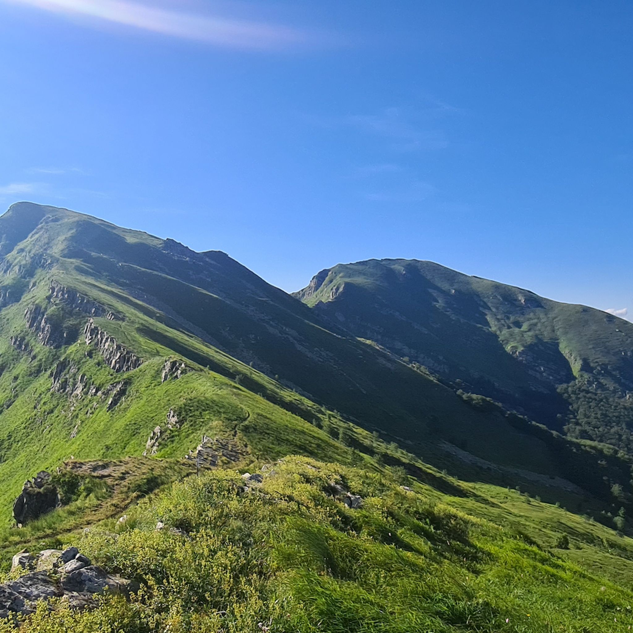
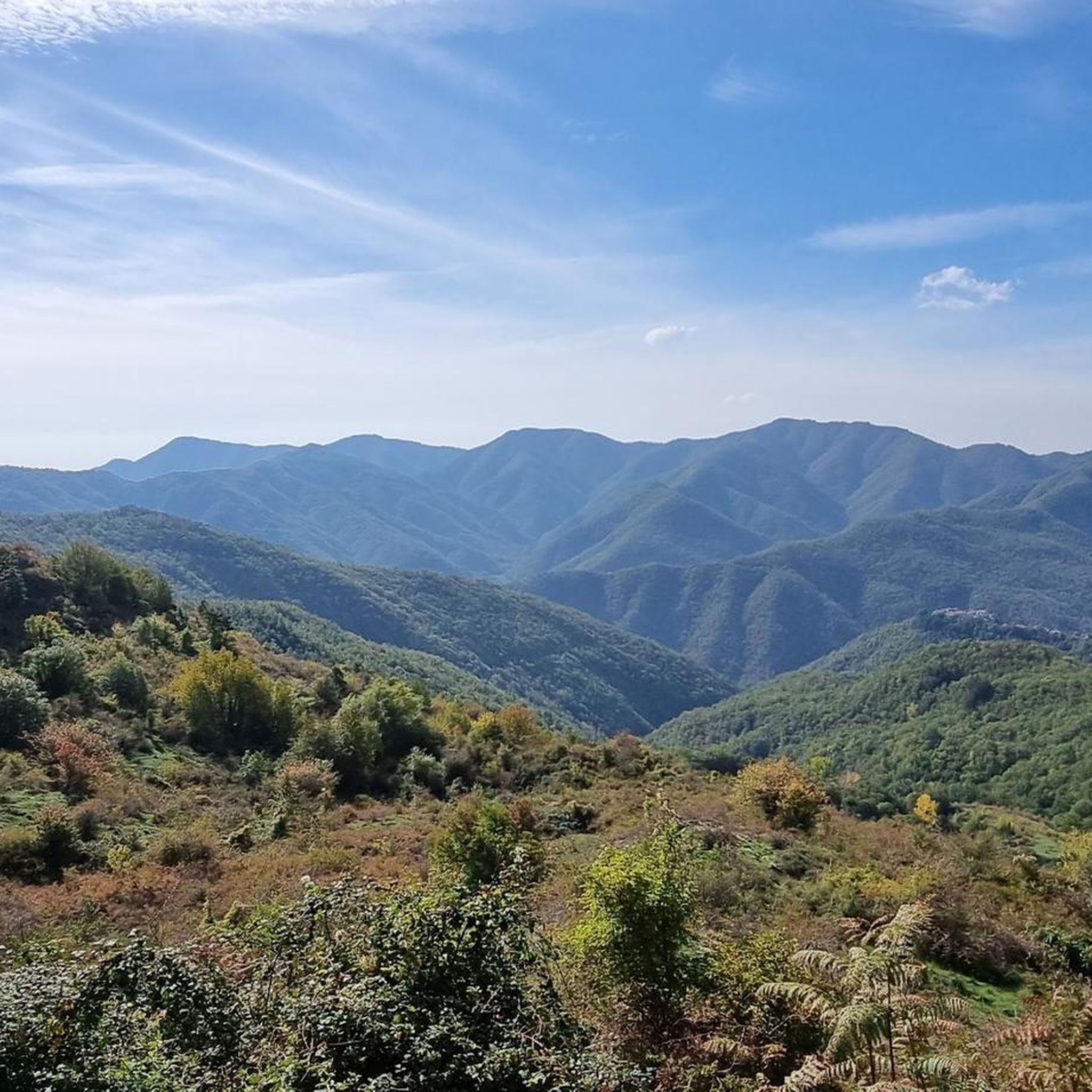
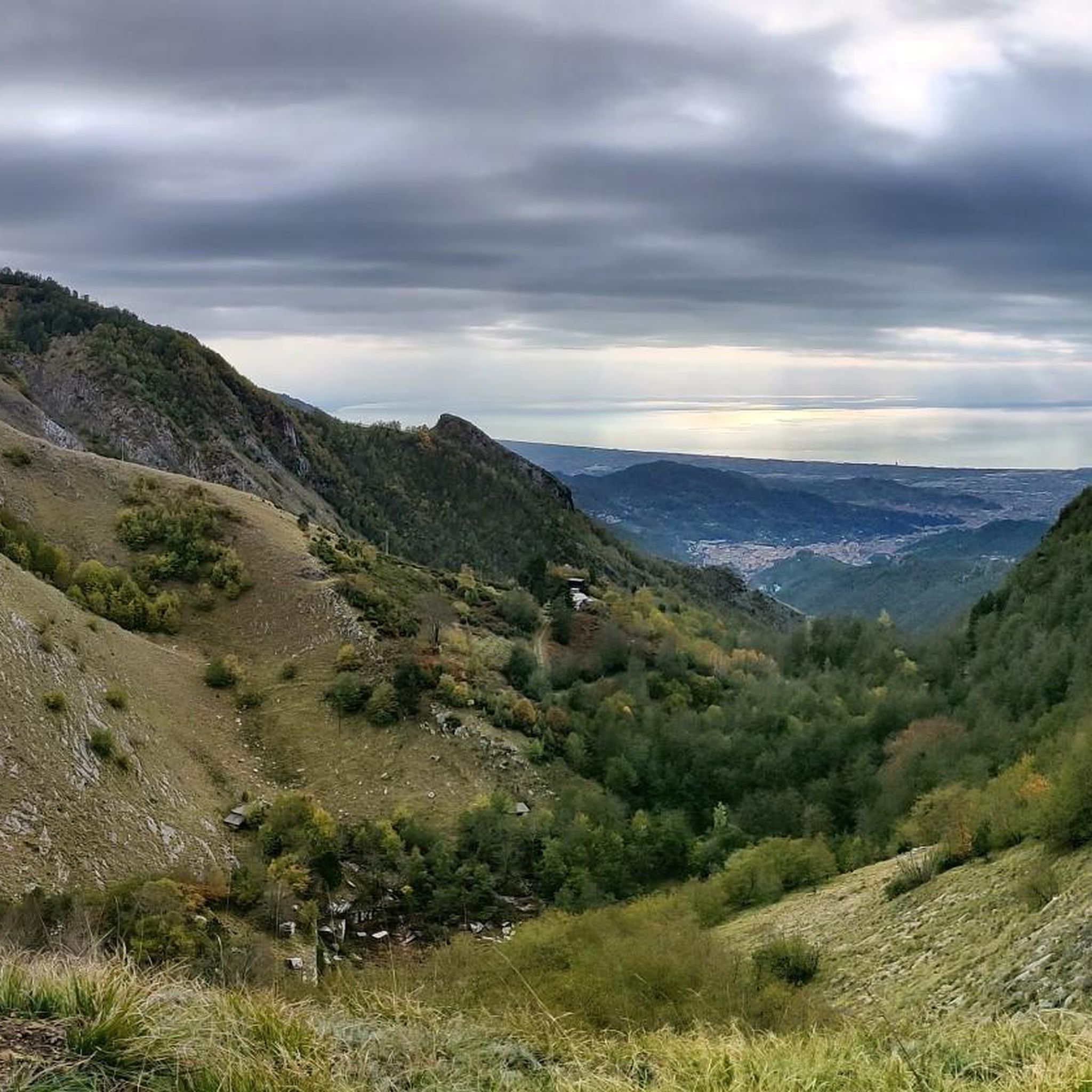
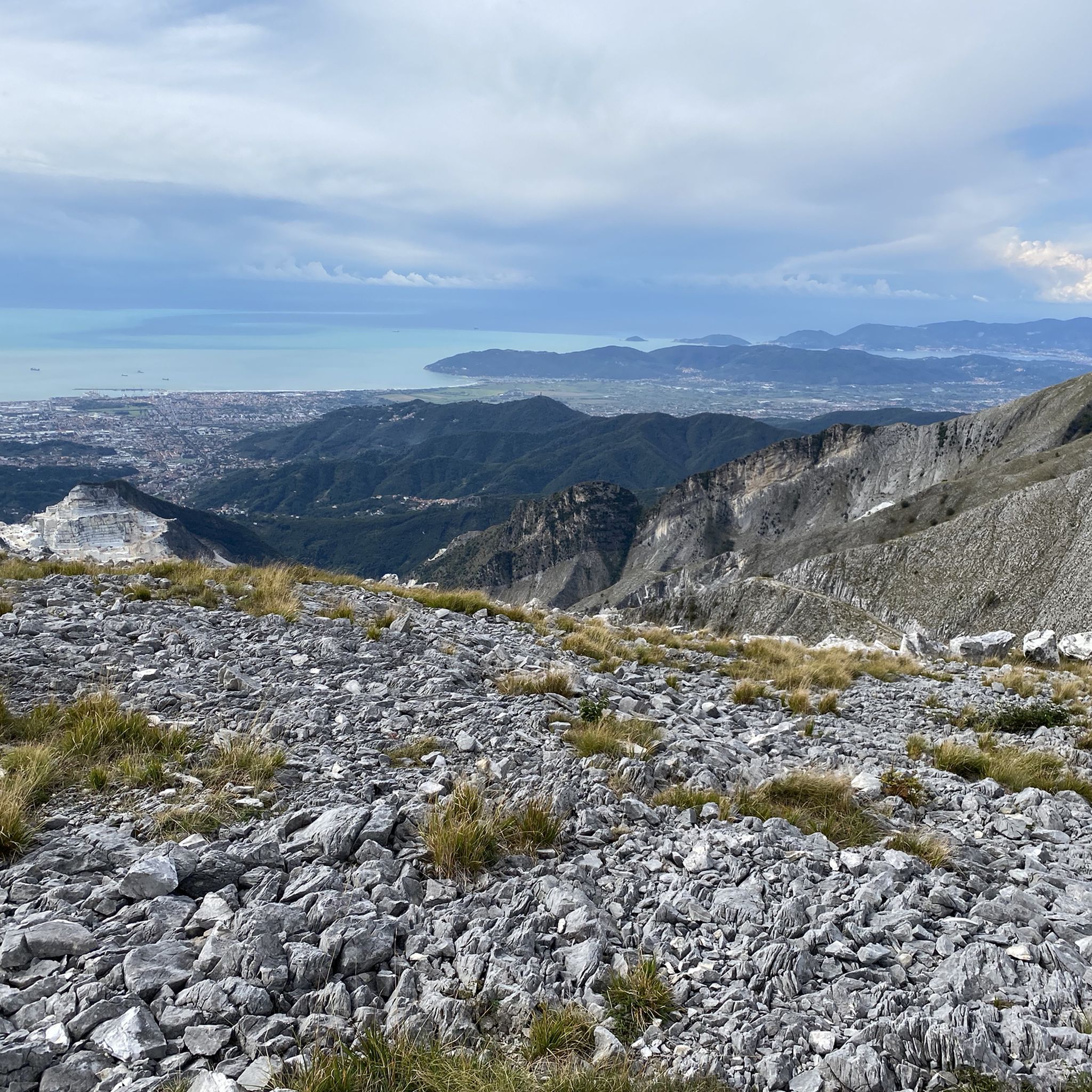
Hiking in Massa-Carrara offers diverse landscapes dominated by the Apuan Alps, a mountain range known for its dramatic peaks and unique karst formations. The region features a network of trails winding through dense forests, past world-famous marble quarries, and along ancient paths. Hikers can experience significant elevation changes, from coastal views to high-altitude mountain environments.
Best hiking trails in Massa-Carrara
- The most popular hiking route is Monte Sagro and Monte Spallone Loop, a 6.4 miles (10.3 km) trail that…
Last updated: August 17, 2026
4.8
(119)
532
hikers
10.3km
04:21
660m
660m
Prepare for a challenging hike on the Monte Sagro and Monte Spallone Loop, a difficult route that spans 6.4 miles (10.3 km) and climbs 2157 feet (658 metres). You can…
4.5
(43)
260
hikers
17.7km
05:55
640m
660m
Hard hike. Very good fitness required. Sure-footedness, sturdy shoes and alpine experience required.

Sign up for free
4.6
(80)
317
hikers
8.43km
02:41
310m
310m
The Celestial Trail offers a moderate hiking experience through the Appennino Tosco-Emiliano National Park, covering 5.2 miles (8.4 km) with an elevation gain of 1021 feet (311 metres). You can…
4.6
(80)
317
hikers
8.47km
02:38
300m
300m
Embark on the Celestial Trail, a moderate hike spanning 5.3 miles (8.5 km) with an elevation gain of 968 feet (295 metres), typically completed in 2 hours and 37 minutes.…
4.4
(30)
150
hikers
32.5km
08:59
450m
640m
Hard hike. Very good fitness required. Easily-accessible paths. Suitable for all skill levels.
4.6
(27)
156
hikers
19.6km
06:27
530m
1,310m
Hard hike. Very good fitness required. Mostly accessible paths. Sure-footedness required.
4.0
(32)
165
hikers
26.3km
07:30
490m
530m
Hard hike. Very good fitness required. Easily-accessible paths. Suitable for all skill levels.
4.4
(24)
84
hikers
13.4km
04:57
580m
580m
Embark on a moderate hike around Monte Acuto, starting from the Lagastrello Dam. This 8.3-mile (13.4 km) loop takes about 4 hours and 56 minutes to complete, with a total…
4.6
(27)
79
hikers
5.06km
01:42
170m
170m
Embark on a moderate hike to the Piscio di Pracchiola waterfall, covering 3.1 miles (5.1 km) with an elevation gain of 547 feet (167 metres). This route typically takes around…
4.6
(25)
86
hikers
19.9km
08:06
1,150m
1,150m
Embark on the difficult Alta Via dei Monti Liguri: Stage 38, a challenging hike spanning 12.4 miles (19.9 km) with a significant elevation gain of 3775 feet (1151 metres). This…
Get access to more routes and recommendations from other explorers.
Sign up for free
Already have an account?
Our route recommendations are based on thousands of hikes, rides, and runs completed by other people on komoot.
Start today with a free account
Your next adventure awaits.
Login or Signup
Other adventures in Massa-Carrara


Tips from the Community

Wonderful bivouac below the Foce Tre Confini, with 8 beds (9 if you sleep on the table), very well equipped.
0
0

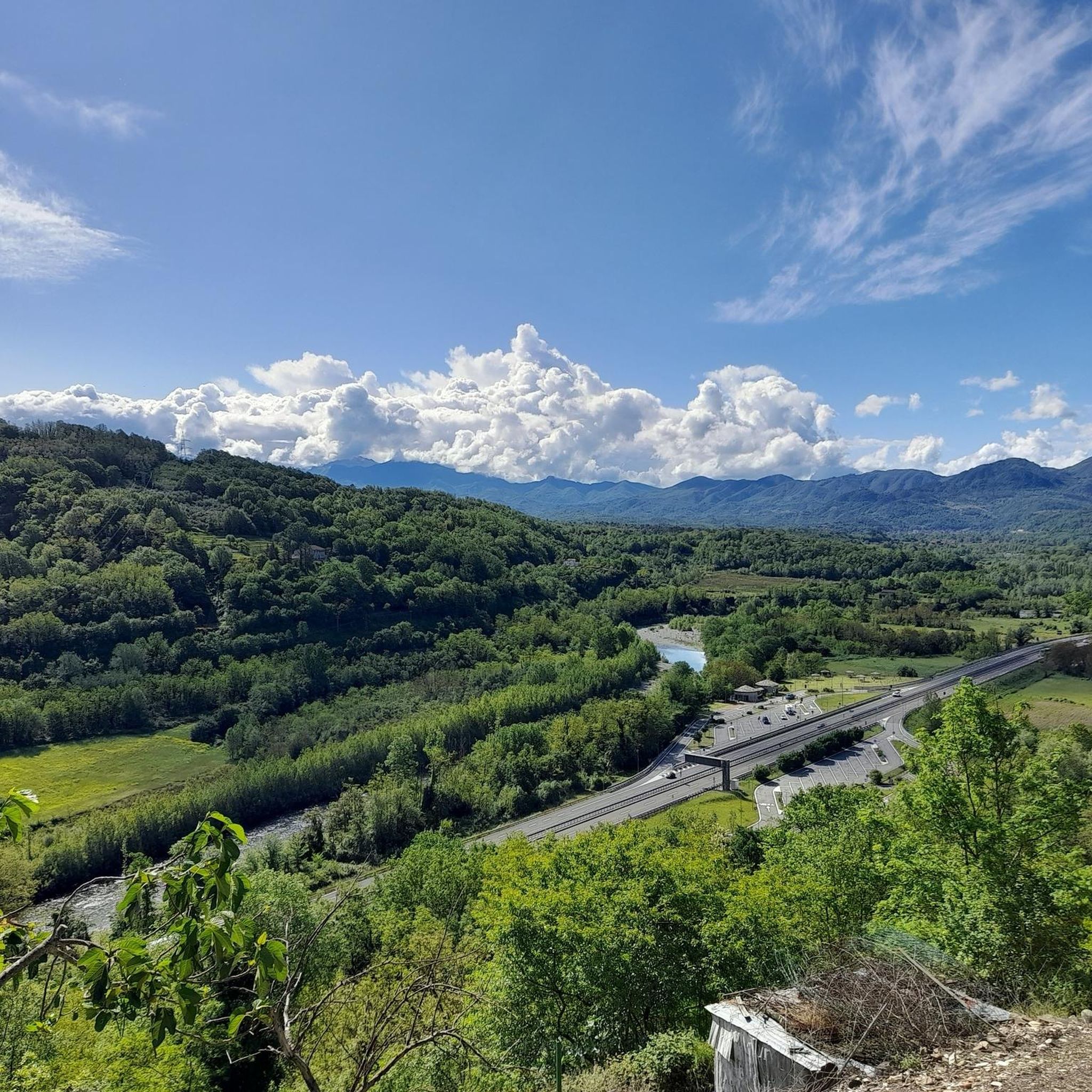
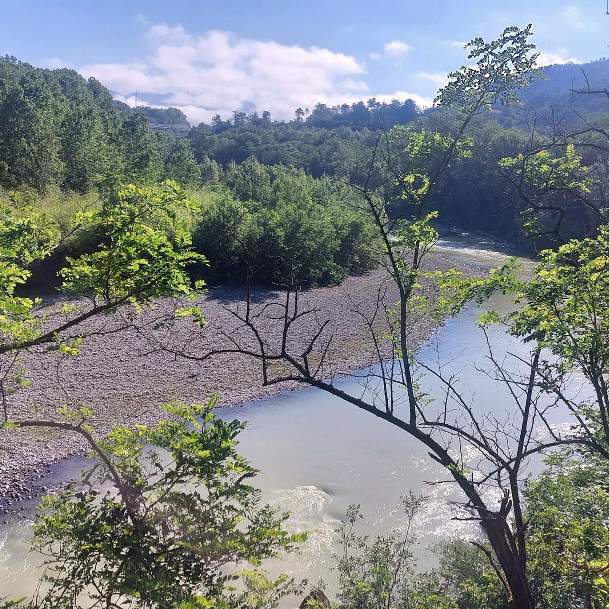
Ponte della Colombara dating back to the 1400s. Enchanted place among the natural pools of the Magra river
0
0

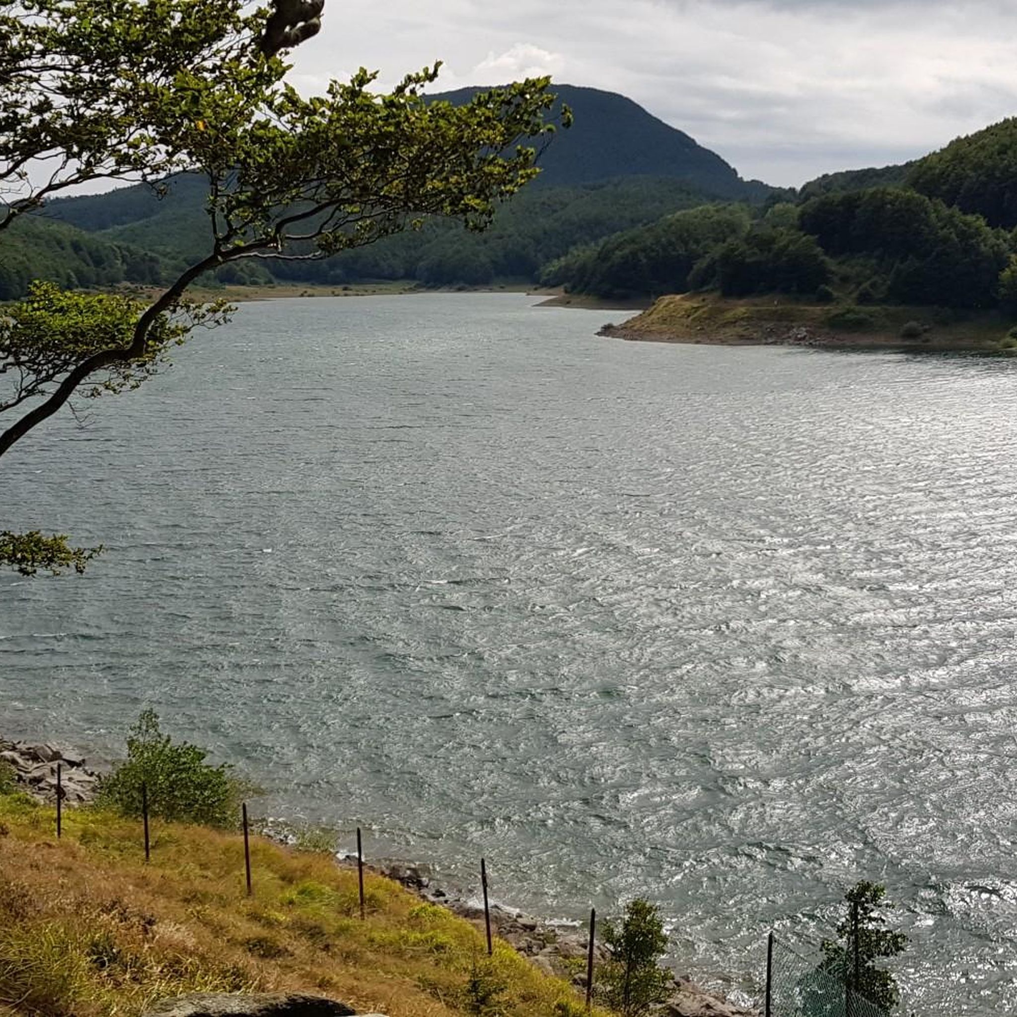
The Diga del Lagastrello (officially called Diga di Lago Paduli) is an artificial dam located in the Tuscan-Emilian Apennines, at an altitude of about 1,157 meters in the municipality of Comano (Massa-Carrara), very close to the Passo del Lagastrello which separates Tuscany from Emilia-Romagna. Built between 1906 and 1910 for hydroelectric purposes by damming the Enza stream, it creates the Lago Paduli, an artificial basin that collects over 3 million cubic meters of water. From an engineering point of view, it is a notable example of an earth-fill dam with a central impermeable clay core. In December 1909, during the final stages of its construction, it suffered a partial and disastrous collapse that devastated the underlying Val Cedra, fortunately without causing any casualties.
0
0
The Rifugio is closed (June 2026)
0
0

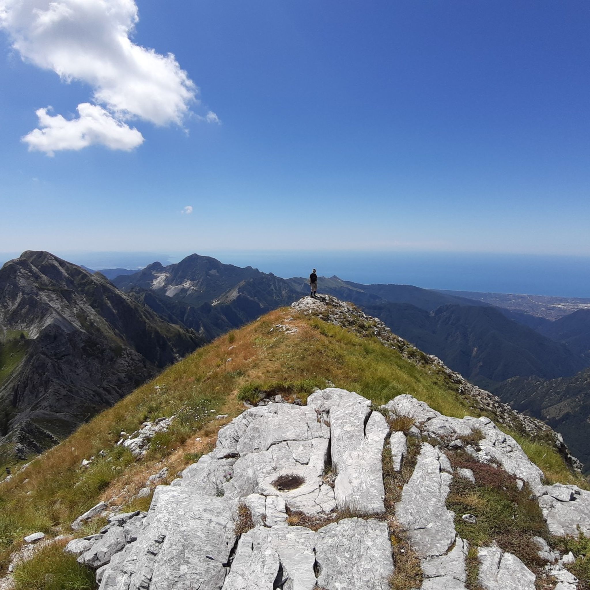
Beautiful route, with a stunning summit panorama
1
0

Beautiful grassy plateau, from which you can see neither the sea of Massa Carrara nor the quarry area and, thanks to this isolation, it has something magical! It is reached with an easy walk of about half an hour from the Carrara refuge, in another half hour you can climb Mount Borla or the opposite "Zucco del latte" which offers excellent views. A very suitable place for eating, the only drawback is the lack of water.
0
0

There is a strange magic in this beautiful meadow
0
0

Frequently Asked Questions
How many hiking trails are available in Massa-Carrara?
Massa-Carrara offers a vast network of trails, with over 760 hiking routes available. These range from easy strolls to challenging mountain ascents, ensuring options for every skill level.
What kind of terrain can I expect when hiking in Massa-Carrara?
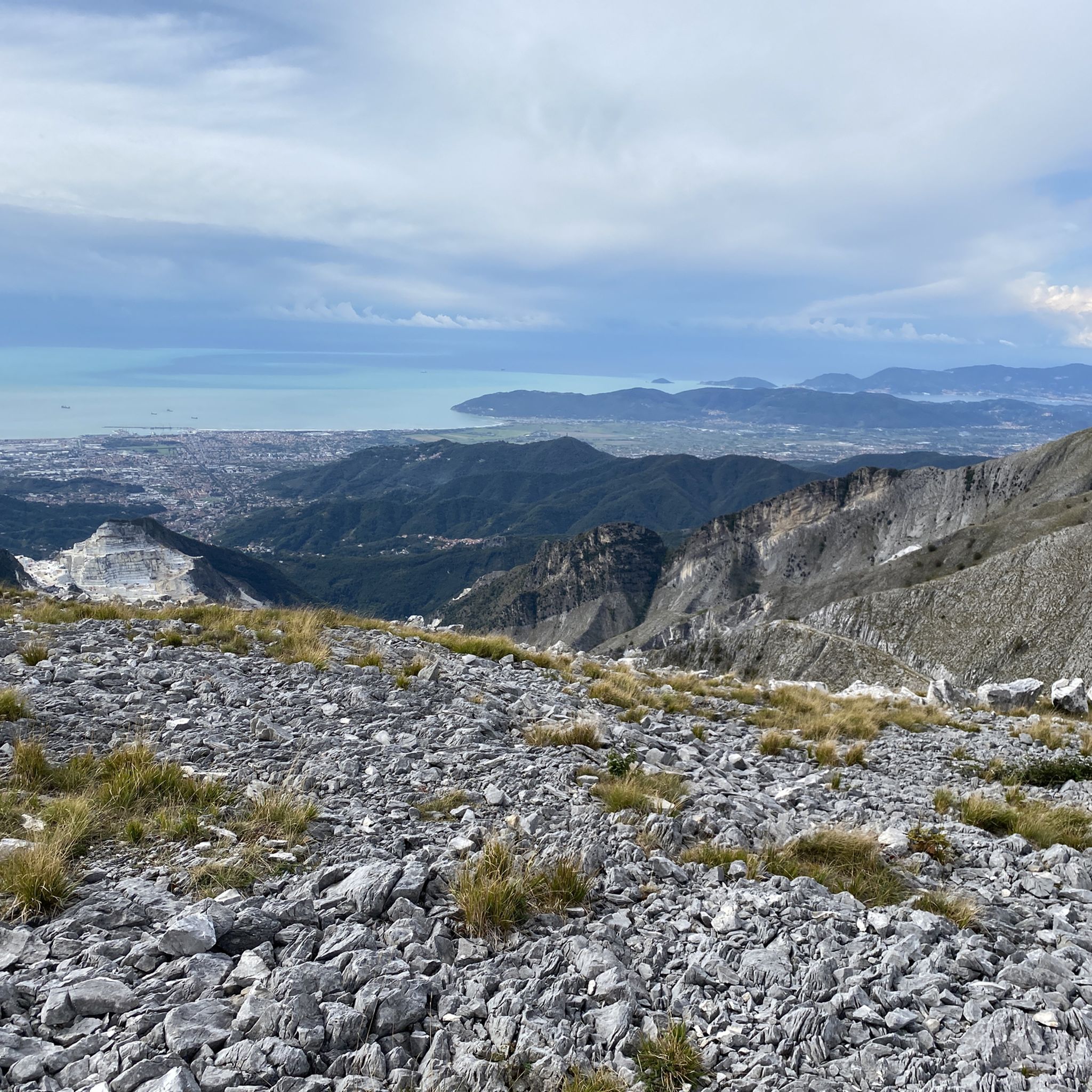
The terrain in Massa-Carrara is incredibly diverse, dominated by the dramatic Apuan Alps. You'll encounter rugged peaks, unique karst landscapes, dense beech and chestnut forests, and high-altitude meadows. Many trails feature significant elevation changes and offer views of the Tuscan coast and the famous marble quarries.
Are there easy hiking trails suitable for beginners or families?
Yes, Massa-Carrara has plenty of easy hiking trails. With over 230 routes classified as easy, you can find gentle paths suitable for beginners or families. For example, the Castles of Lunigiana Cycleway offers a relatively flat and accessible experience through historical areas.
Can I find challenging hikes in the Massa-Carrara region?
Absolutely. The Apuan Alps provide numerous challenging routes for experienced hikers. There are over 180 difficult trails, often involving significant elevation gains and rugged terrain. A prime example is the Monte Sagro and Monte Spallone Loop, which explores prominent peaks and offers a demanding but rewarding experience.
Are there any circular hiking routes in Massa-Carrara?
Yes, many trails in Massa-Carrara are designed as circular routes, allowing you to start and end at the same point. The Monte Acuto Loop from Lagastrello Dam is a popular moderate circular path, and the Castello di Fosdinovo and surroundings — Ring tour also offers a scenic loop through historical landscapes.
What are some notable natural attractions or landmarks I might see on a hike?
Massa-Carrara is rich in natural wonders. You can encounter the dramatic white marble quarries, unique karst formations, and impressive peaks like Monte Forato, famous for its natural rock arch. The region also features numerous caves and caverns. For specific highlights, consider visiting the View of the Carrara Marble Quarries from Colonnata or the Equi Terme Village, which is a gateway to local caves.
Can I hike near the famous marble quarries?
Yes, the world-famous white marble quarries of Carrara are a distinctive feature of the Apuan Alps, and some hiking trails offer incredible views of these working quarries. They provide a striking contrast between natural rock formations and human intervention, creating a unique backdrop for your hike. You can find viewpoints like the View of the Carrara Marble Quarries from Colonnata along certain routes.
Are there any trails that feature waterfalls?
Yes, some trails in Massa-Carrara lead to beautiful water features. The route known as The village and the Piscio di Pracchiola specifically highlights a waterfall, offering a refreshing natural spectacle along your walk.
What is the best time of year to go hiking in Massa-Carrara?
The best time to hike in Massa-Carrara is generally from spring to autumn (April to October). During these months, the weather is milder and more stable, making conditions ideal for exploring the diverse landscapes. Summer can be hot, especially at lower altitudes, while higher peaks offer cooler temperatures. Winter hiking is possible but requires appropriate gear and experience, especially in the higher Apuan Alps where snow can be present.
Are there options for reaching trailheads using public transport?
While many trailheads are accessible by car, some areas in Massa-Carrara, particularly those connecting historical villages or along ancient paths like the Via Francigena, may have public transport options. It's advisable to check local bus schedules for specific routes and starting points, especially when planning hikes that don't loop back to your starting location.
What do other hikers say about their experience in Massa-Carrara?
The hiking experience in Massa-Carrara is highly rated by the komoot community, with an average score of 4.5 stars from over 2,600 reviews. Hikers often praise the region's dramatic peaks, the unique geology of the Apuan Alps, and the incredible panoramic views that stretch from the mountains to the Tuscan coast and the Tyrrhenian Sea.
Are there any historical sites or villages to explore on a hike?
Yes, Massa-Carrara offers a journey through history. Ancient paths like the Via Vandelli and the Sentiero dei Ducati are now popular hiking routes. You can also discover picturesque medieval villages and strategically located mountain refuges along these trails. The Castello di Fosdinovo and surroundings — Ring tour is an excellent example of a route that combines natural beauty with historical exploration.
Where can I find panoramic views of the coast and mountains?
Massa-Carrara is renowned for its breathtaking panoramic views. From various summits and viewpoints, you can see the jagged outlines of the Apuan Alps, the entire Tuscan coast, and the Tyrrhenian Sea. Campocecina is particularly noted for its unique vista encompassing both the coast and the highest peaks. Peaks like Pania della Croce, Monte Tambura, and Monte Sagro also offer expansive views.
Most popular routes in Massa-Carrara
Most popular attractions in Massa-Carrara

Get inspired with the komoot mobile app


Didn’t find what you were looking for?
Check out more Hikes throughout Massa-Carrara below and find the perfect route in your destination.
