The best traffic-free bike rides around La Léchère
4.6
(186)
10,284
riders
56
rides
No traffic touring cycling routes around La Léchère are situated in the heart of the Savoie region of France, characterized by diverse alpine landscapes and significant elevation changes. The area is encompassed by the Beaufortain, Lauzière, and Vanoise massifs, offering a dramatic mountain backdrop for cycling. Routes often traverse the Tarentaise Valley, featuring challenging ascents and descents typical of high-mountain terrain. This region provides a network of routes suitable for experienced touring cyclists seeking demanding climbs and scenic views.
Best…
Last updated: May 22, 2026
2.0
(1)
31
riders
25.8km
02:58
1,020m
1,020m
Hard bike ride. Very good fitness required. Mostly paved surfaces. Suitable for all skill levels.
28
riders
24.8km
03:13
1,190m
1,200m
Hard bike ride. Very good fitness required. You may need to push your bike for some segments of this route.

Sign up for free
23
riders
17.6km
02:10
830m
820m
Hard bike ride. Very good fitness required. You may need to push your bike for some segments of this route.
19
riders
14.7km
01:36
470m
470m
Hard bike ride. Very good fitness required. Mostly paved surfaces. Suitable for all skill levels.
21
riders
Hard bike ride. Very good fitness required. Mostly paved surfaces. Suitable for all skill levels.
Get access to more routes and recommendations from other explorers.
Sign up for free
Already have an account?
Our route recommendations are based on thousands of hikes, rides, and runs completed by other people on komoot.
Start today with a free account
Your next adventure awaits.
Login or Signup




Tips from the Community

Please note, this section will be closed in late June and early July 2025, as they resurface the route for the Women's Tour de France! The closure is announced at the very bottom of the valley, but it's not easy to see...
3
1

Very nice secondary road to go up to St François Longchamp, much better than the normal road
2
0

You can order something to eat/drink at the Refuge. Payment in cash only
0
0

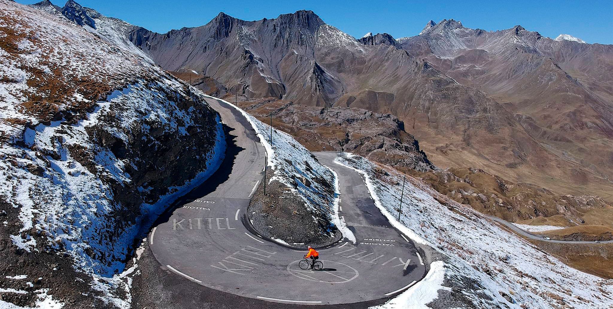
This secondary road joins the main road of the Col de la Madeleine. It allows you to enjoy the sumptuous environment that surrounds you with less traffic than on the main road. The climb is no less difficult!
1
1
The Coche hydraulic dam measures 33 meters high. Its large water reservoir is fed by 28 kilometers of galleries which capture the tributaries of the Isère; water supplies are particularly important during periods of snowmelt. This dam is linked to the lower Aigueblanche reservoir and the La Coche hydroelectric power station following the innovative principle of a STEP: Energy transfer station by pumping. The principle is simple: to produce electricity, water from the upstream lake (La Coche) is turbined then delivered to another lake downstream (Aigueblanche).
1
0
Valmorel is best known for being an essential winter resort. In summer it is the starting point for many bike rides. It has a charming little center.
0
0

Thanks to the creator and the tips. I used the road as a descent from the col de Madeleine (MTB 😎) 1xcar, 1xtractor and 2 hikers crossed my path, no motorbikes, very pleasant was great fun 😁
2
0

Located at 1398 meters above sea level, the lake is nestled above Moûtiers near the Col de la Coche.
0
0
Frequently Asked Questions
How many traffic-free touring cycling routes are available around La Léchère?
There are over 50 dedicated traffic-free touring cycling routes around La Léchère. While many are challenging, offering significant elevation gains, there are also options for those seeking a more moderate experience through scenic areas.
Are there any easy or beginner-friendly traffic-free touring routes in La Léchère?
While the majority of routes in La Léchère are rated as difficult due to the alpine terrain and elevation gains, some sections or shorter loops might be more accessible. For a scenic ride with less intensity, consider exploring paths around the Parc Thermal and Parc des Buissons, which offer lush landscapes and well-maintained trails suitable for cycling, though specific 'easy' touring routes are limited in this challenging region.
What kind of natural attractions can I expect to see along these routes?
La Léchère's routes offer breathtaking alpine scenery. You can expect views of the Lauzière and Vanoise massifs, high-altitude lakes like the Lac de la Grande Léchère, and natural features such as the Morel waterfall. Some routes also pass through the entrance to the Tarentaise Valley, providing exceptional vistas.
Are there any circular traffic-free touring routes?
Yes, many of the routes are designed as loops. For example, the View of the Valley – Dam - La Coche Reservoir loop from Parking Cheval Blanc offers a challenging circular ride with stunning views. Another option is the Dam - La Coche Reservoir – View of the Valley loop from Crève Cœur, which also provides a substantial challenge.
What is the best time of year for traffic-free touring cycling in La Léchère?
The best time for touring cycling in La Léchère is typically from late spring (May/June) through early autumn (September/October). During these months, the weather is generally more stable, mountain passes are clear of snow, and the alpine meadows are vibrant. Always check local weather conditions and road statuses before heading out, especially for higher elevation routes.
Are there any routes that pass by iconic mountain passes?
While the routes listed here are specifically traffic-free, La Léchère is a gateway to legendary mountain passes. The region is close to the Col de la Madeleine, a famous Tour de France stage, and other prominent passes like the Col du Chaussy and Col du Grand Cucheron. These offer long, challenging climbs with spectacular views for experienced cyclists.
What do other touring cyclists enjoy most about the routes in La Léchère?
The routes in La Léchère are highly rated by the komoot community, with an average score of 4.5 stars. Reviewers often praise the challenging ascents, the breathtaking alpine views, and the sense of accomplishment from tackling significant elevation gains. The limited traffic on these specific routes also contributes to a more immersive cycling experience.
Are there any cultural or historical sites accessible from the traffic-free routes?
While the focus of these routes is natural beauty and challenging cycling, the broader region of Savoie offers rich cultural heritage. Nearby, you can explore the historic town of Moûtiers or the medieval city of Conflans. Some routes might offer glimpses of traditional alpine villages or lead to areas with listed churches, providing a blend of nature and history.
Where can I find parking for these traffic-free touring cycling routes?
Many routes, such as the View of the Valley – Dam - La Coche Reservoir loop, start from designated parking areas like Parking Cheval Blanc. Other routes may begin from village centers or specific trailheads. Always check the route details on komoot for specific parking information at the starting point.
Are there any routes suitable for families with children?
Given that most routes in La Léchère are rated as difficult with significant elevation, they are generally more suited for experienced adult cyclists. For families with children, it's advisable to look for shorter, flatter sections, perhaps within the Parc Thermal or along riverside paths, which offer a safer and less strenuous environment away from traffic.
Can I access these routes using public transport?
Access to specific traffic-free touring routes by public transport can be challenging in mountainous regions. While La Léchère is situated at the entrance to the Tarentaise Valley, which has some public transport links, reaching the exact starting points of many remote routes might require a car. It's best to check local bus schedules or train connections to nearby towns like Moûtiers and then plan for a short transfer to the trailhead if possible.
Are there any 'hidden gem' routes that offer unique experiences?
For a unique and challenging experience in a wild setting, consider routes that climb towards the Grand Lac des Léchères. These paths often feature well-groomed surfaces and limited traffic, offering fine views of surrounding peaks and alpine meadows, providing a true sense of discovery away from more frequented areas.
Most popular routes around La Léchère
Most popular attractions around La Léchère

Get inspired with the komoot mobile app


Explore more
Browse the best Cycling routes in other regions.
