The best traffic-free bike rides around Silly-En-Saulnois
4.7
(23)
94
riders
9
rides
Gravel biking around Silly-En-Saulnois offers access to diverse natural landscapes within the broader Saulnois region of France's Grand-Est. The area is characterized by distinctive saline ponds and wetlands, particularly within the Nied and Seille valleys, which support unique flora. Extensive forest trails and hills, such as the Côte de Delme, provide varied terrain and panoramic views suitable for gravel riding. This region is also part of the Moselle Sud Biosphere Reserve, highlighting its ecological significance.
Best no traffic gravel bike…
Last updated: July 3, 2026
4.8
(19)
56
riders
40.6km
02:13
250m
250m
Moderate gravel ride. Good fitness required. Mostly paved surfaces. Suitable for all skill levels.
5
riders
Moderate gravel ride. Good fitness required. Mostly paved surfaces. Suitable for all skill levels.

Sign up for free
4
riders
45.1km
02:58
380m
380m
Moderate gravel ride. Good fitness required. Mostly paved surfaces. Suitable for all skill levels.
4.3
(3)
4
riders
37.0km
02:30
470m
470m
Hard gravel ride. Very good fitness required. Mostly paved surfaces. Suitable for all skill levels.
2
riders
75.9km
04:43
770m
770m
Hard gravel ride. Very good fitness required. Mostly paved surfaces. Suitable for all skill levels.
Get access to more routes and recommendations from other explorers.
Sign up for free
Already have an account?
Our route recommendations are based on thousands of hikes, rides, and runs completed by other people on komoot.
Start today with a free account
Your next adventure awaits.
Login or Signup
Popular around Silly-En-Saulnois
Tips from the Community

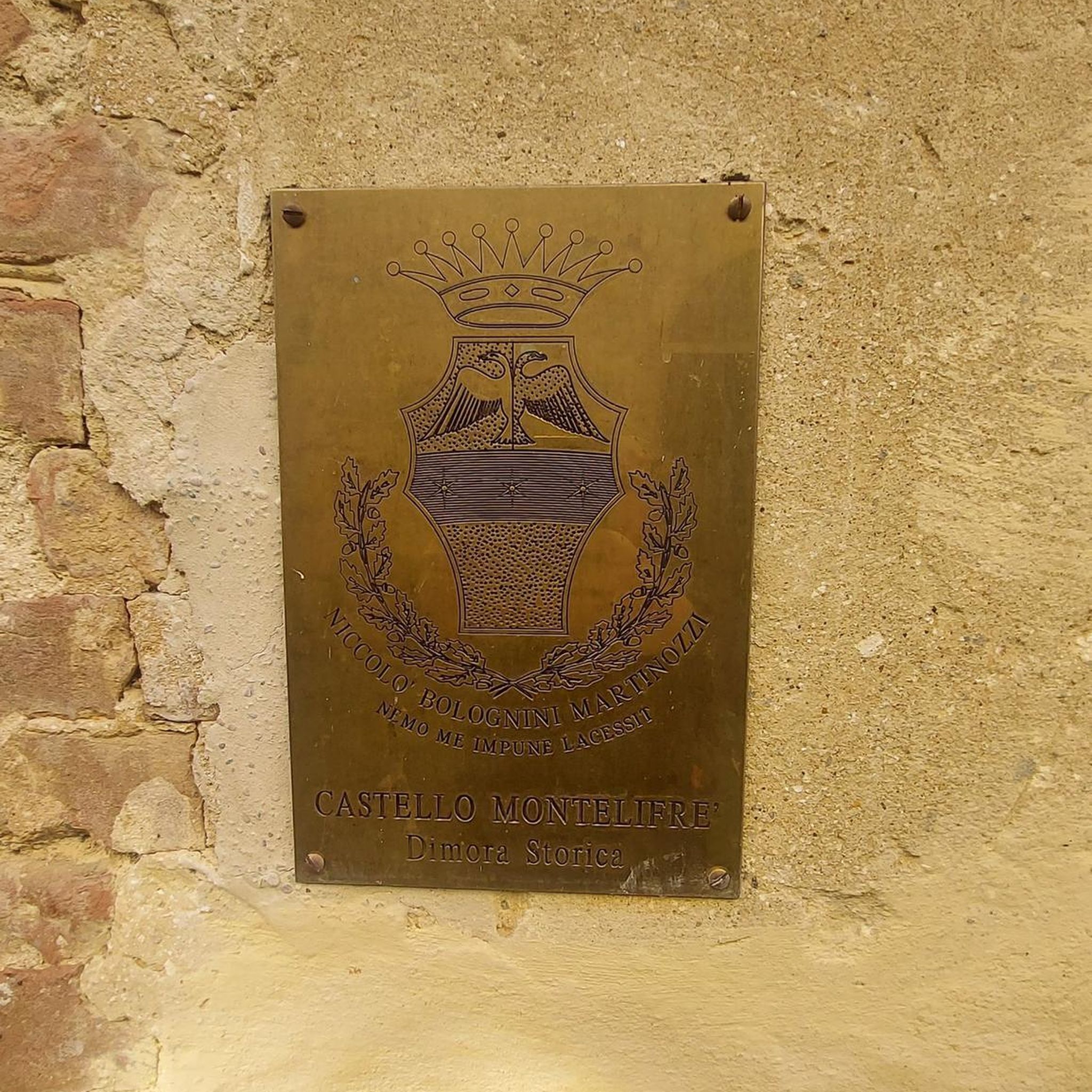
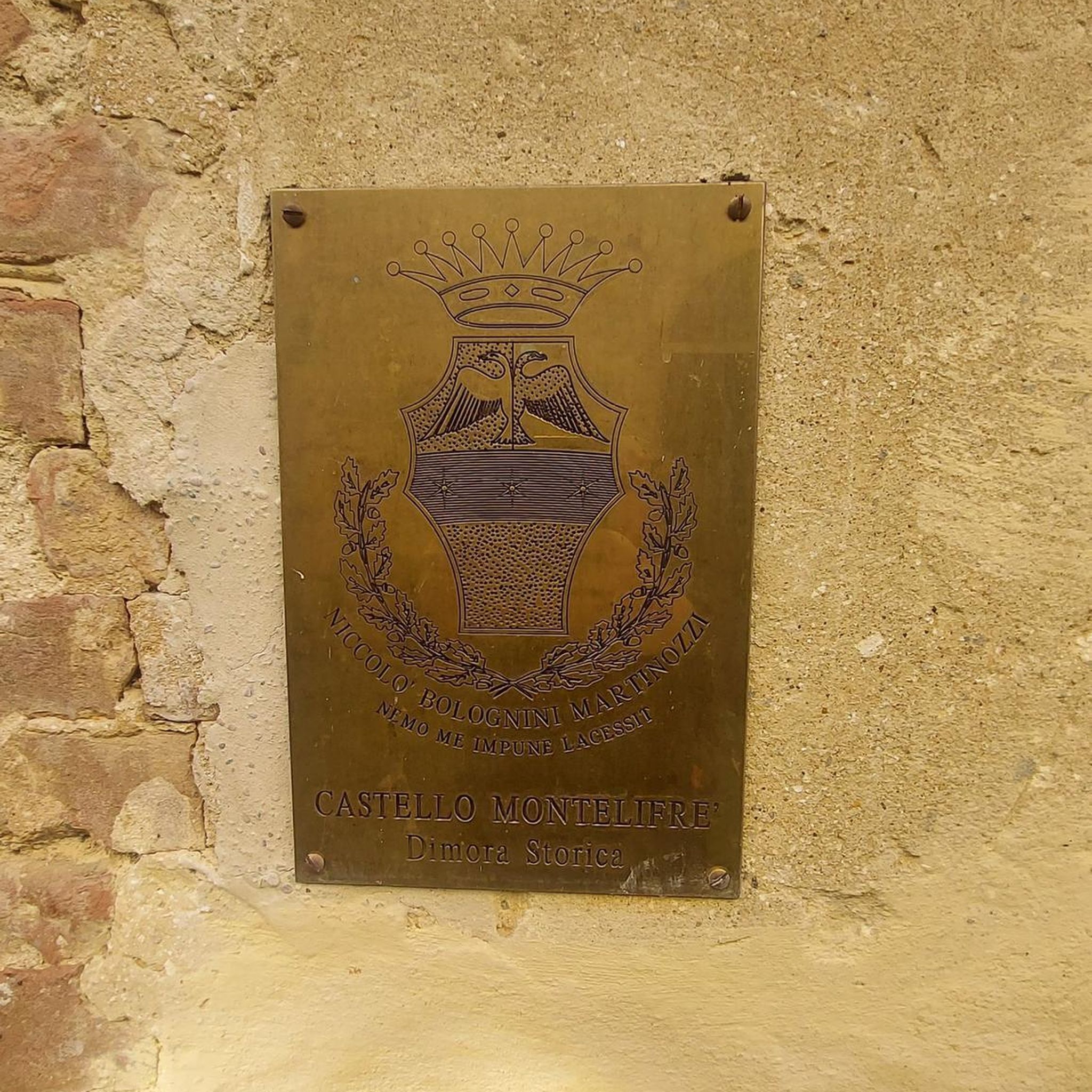
Two farms were located on the old path between Metz and Peltre, the Haute Bévoye and the Basse Bévoye. The Haute Bévoye, on a hill, is a fortified farm documented from the early 14th century. In 1404, it belonged to "Jehan Xaippey", i.e. Jean de Raigecourt, known as Xappel; 12 cattle and 8 horses were raised there at the time. In addition to an 18th-century dwelling and farm buildings, the layout of the medieval castle remains legible, with four rectangular wings surrounded by a moat; two wings and three towers recall the initial state. https://melodi.univ-lorraine.fr/s/projet-cite-de-metz/item/2973
1
0

Okay with a mountain bike, a bit too intense with a gravel bike!
0
0
Memorial to the fallen of the two world wars and the Indochina War 🕊️.
0
0
Memorial to the fallen of the two world wars 🕊️
0
0
This beautiful rest area is located on the former railway line, at the old train station in Pange.
0
0

The origin of “Pont-à-Domangeville is lost in the mists of time. The Roman road from Metz to the Rhine already passed through there. Under the old regime, it was a tiny separate lordship, with a toll bridge. Usually blocked and padlocked, to cross it you had to pay a fee, depending on the livestock and products passed through. The lordship belonged in the 13th century to the Saint-Vincent de Metz abbey, then to the successive lords of Domangeville; in 1716, to the Laubrussels, then to the Leuryses, finally to the Thomas de Pange. It included, in addition to the bridge, the road - 50 toises on this side, 18 beyond - the bed of the Nied on both sides and, on the south-east bank, land with a hostelry (current Mayot farm) . In 1789, the community of Bazoncourt declared in its list of grievances “the enlightenment of the State and the kindness of the King will undoubtedly eliminate a right of final injustice perceived at Pont-à-Domangeville. However poor a plowman he may be, he pays three does and several pay without passing through.” After the revolution, the bridge had to be repaired. Paradoxically, the general council had the expenditure entered in the 1814 and 1815 rolls of the localities which had subscribed to the bridge in 1766. On this ordeal is inscribed: “This monument of our redemption was erected by the care of MM. De Pange, de Courten, Devaux and Dauphin, Commissioners responsible for the reconstruction of this bridge, in the year of our Lord 1816. During the reconstruction work and near the bridge, Joseph GRANDIDIER de Hernicourt and François ANIEL perished in the waters on July 20 from Domangeville, both attached to the service of the neighboring farm »
1
0

Two people died during the reconstruction of the bridge over the Nied Française in Domangeville in 1816.
1
0

Built in 1915, superb blockhouse and trenches
2
0
Frequently Asked Questions
How many no traffic gravel bike trails are available around Silly-en-Saulnois?
There are 5 curated no-traffic gravel bike trails around Silly-en-Saulnois, offering a range of experiences from moderate to difficult. These routes are specifically chosen to keep you away from vehicular traffic, allowing for a peaceful ride through the region's diverse landscapes.
What kind of terrain can I expect on these gravel bike trails?
The trails around Silly-en-Saulnois offer a varied terrain ideal for gravel biking. You'll encounter extensive forest paths, quiet country roads, and tracks along the distinctive saline ponds and wetlands of the Nied and Seille valleys. Some routes also feature higher elevations like the Côte de Delme, providing panoramic views.
Are there any family-friendly no-traffic gravel routes?
While the routes in this guide are rated moderate to difficult, the broader Saulnois region, where Silly-en-Saulnois is located, features the Véloroute Voie Verte along the Canal de la Marne au Rhin. This dedicated 10 km cycling route is generally smooth and suitable for families looking for an easier, traffic-free experience.
What is the best time of year for gravel biking in Silly-en-Saulnois?
The best time for gravel biking in Silly-en-Saulnois is typically from spring through autumn. During these seasons, the weather is generally mild, and the natural landscapes, including the forests and wetlands, are at their most vibrant. Always check local weather conditions before heading out.
Are there any circular gravel bike routes available?
Yes, several routes are designed as loops, allowing you to start and finish at the same point. For example, the Mountain biking in Sud Messin – Verny – Seille spillway loop from Pournoy-la-Grasse offers a moderate 38 km circular ride through varied terrain.
What are the difficulty levels of the no-traffic gravel trails?
The no-traffic gravel trails around Silly-en-Saulnois range from moderate to difficult. You'll find 3 moderate routes and 2 difficult routes, catering to riders looking for a good challenge with significant elevation gains on some trails. For instance, the Coin-sur-Seille – Trenches 14-18 loop from Coin-sur-Seille is a difficult 37 km route.
Can I find parking near the starting points of these trails?
Many of the routes start from villages like Pournoy-la-Grasse or Jury, where public parking is generally available. For routes along the Véloroute Voie Verte, specific parking areas are often designated near access points, making it convenient to begin your ride.
What do other gravel bikers enjoy most about the trails in this region?
The komoot community highly rates the gravel biking experience around Silly-en-Saulnois, with an average score of 4.9 stars. Riders often praise the tranquility of the traffic-free paths, the unique natural beauty of the saline ponds and forests, and the rewarding views from higher elevations.
Are there any longer, more challenging no-traffic gravel routes?
For those seeking a longer and more challenging ride, the Mountain biking in Sud Messin – Verny – Remains of an aqueduct loop from Jury is a difficult 55 km route with over 640 meters of elevation gain, offering a substantial adventure away from traffic.
Are there any specific natural attractions to look out for on these routes?
Yes, the region is known for its unique natural features. Keep an eye out for the distinctive saline ponds and wetlands, particularly in the Nied and Seille valleys, which support rare halophilic flora. The area is also part of the Moselle Sud Biosphere Reserve, highlighting its ecological importance.
Can I access these gravel trails using public transport?
While Silly-en-Saulnois itself is a small commune, public transport options to the broader Saulnois region exist, though they might require some planning to reach specific trailheads with a bike. It's advisable to check local bus or train schedules for connections to larger towns like Dieuze or Vic-sur-Seille, which may offer better access points.
Are there any cafes or places to stop for refreshments along the routes?
The routes often pass through or near small villages. While specific cafes directly on every trail might be limited, towns like Dieuze and Vic-sur-Seille, located within the Saulnois region, offer a wider selection of cafes, pubs, and accommodation options where you can refuel and relax before or after your ride.
Most popular routes around Silly-En-Saulnois

Get inspired with the komoot mobile app


Explore more
Browse the best Gravel rides in other regions.
