The best traffic-free bike rides around Rimling
4.5
(95)
2,247
riders
21
rides
No traffic road cycling routes around Rimling traverse a landscape characterized by rolling hills and varied elevations, ranging from approximately 281 to 392 meters. The region is situated near the Lorraine Regional Natural Park, offering a diverse environment for road cyclists. This area features dense forests, wooded hills, and open panoramas of surrounding valleys, providing both shaded routes and scenic vistas. Numerous streams and ponds are also present, contributing to the natural features of the cycling terrain.
Best no traffic…
Last updated: July 3, 2026
5.0
(1)
20
riders
44.2km
02:01
440m
440m
Moderate road ride. Good fitness required. Mostly well-paved surfaces and easy to ride.
5.0
(1)
11
riders
Moderate road ride. Good fitness required. Mostly well-paved surfaces and easy to ride.

Sign up for free
12
riders
45.2km
02:05
350m
350m
Moderate road ride. Good fitness required. Some segments of this route may be unpaved and difficult to ride.
5
riders
29.0km
01:21
340m
350m
Moderate road ride. Good fitness required. Mostly well-paved surfaces and easy to ride.
4.0
(1)
5
riders
42.5km
01:59
340m
340m
Moderate road ride. Good fitness required. Mostly well-paved surfaces and easy to ride.
Get access to more routes and recommendations from other explorers.
Sign up for free
Already have an account?
Our route recommendations are based on thousands of hikes, rides, and runs completed by other people on komoot.
Start today with a free account
Your next adventure awaits.
Login or Signup
Popular around Rimling
Tips from the Community

High city gate, structurally connected to the adjacent buildings.
7
0

Small, fine cafe in Saareinsming, typically French, rustic and idyllic ... invites you to pause and linger.
0
0

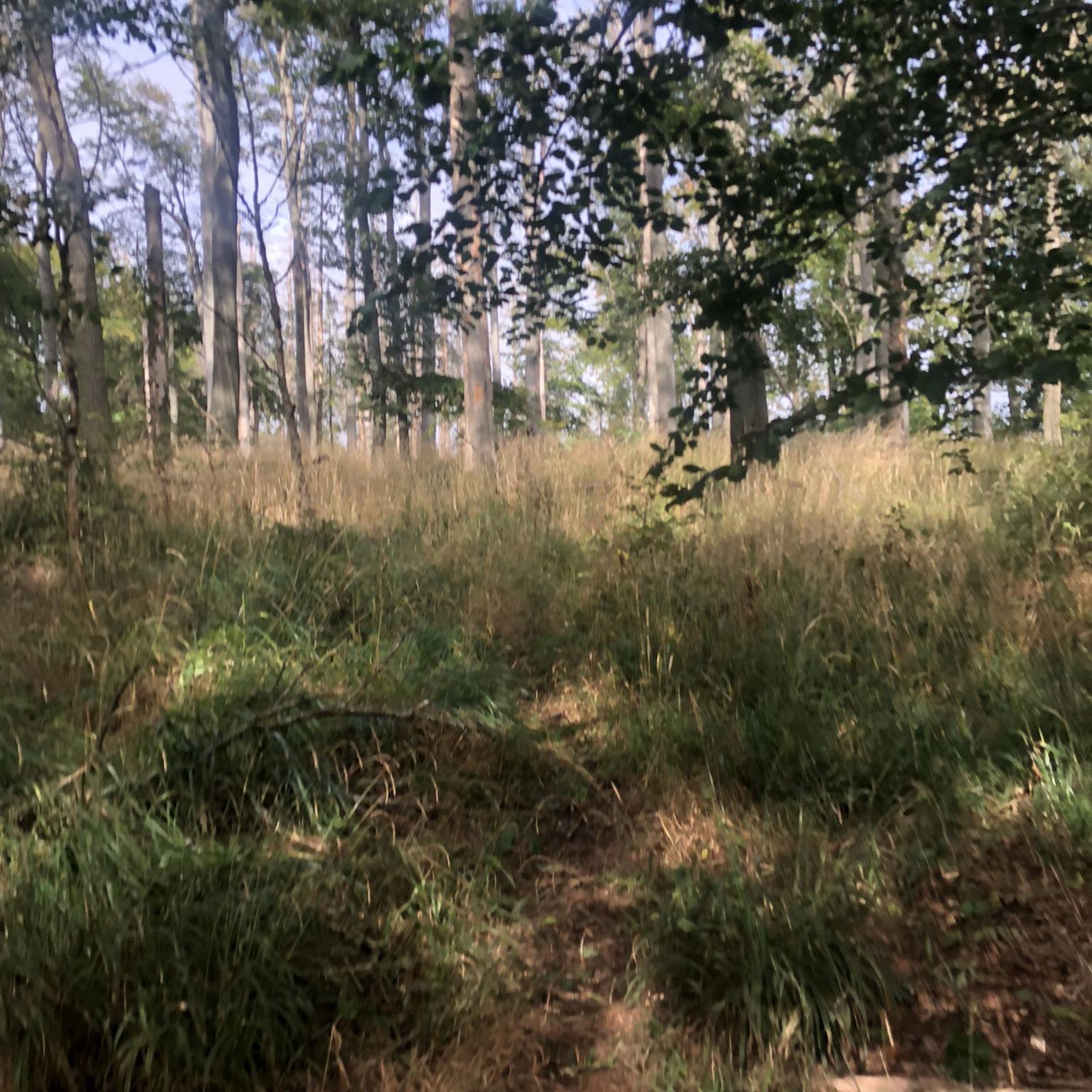
beautiful climb through the forest from Metschbrück to Montbronn
0
0

Small city gate with access to Hornbach.
4
0
Beautiful entrance to Hornbach.
4
0

Beautiful country road to drive
1
0

The Saar is getting "younger". On the left hand side the river and on the right hand the canal.
3
0
Frequently Asked Questions
How many no traffic road cycling routes are available around Rimling?
There are 16 dedicated no traffic road cycling routes around Rimling, ranging from easy to moderate difficulty. This includes 4 easy routes and 12 moderate routes, ensuring options for various fitness levels.
What kind of terrain can I expect on no traffic road cycling routes near Rimling?
The terrain around Rimling is characterized by rolling hills and varied gradients, with elevations typically ranging from 281 to 392 meters. This provides a dynamic experience with both challenging ascents and rewarding descents, often through dense forests and offering open panoramas of surrounding valleys.
Are there any easy, no traffic road cycling routes suitable for beginners or families?
Yes, there are 4 easy no traffic road cycling routes available. An example is the Entrance to Bitche – Schorbach Ossuary loop from Schorbach, which covers 38.8 km and offers a gentler introduction to the region's cycling. The broader Lorraine Regional Natural Park also features well-developed cycle paths suitable for various levels.
What are some notable landmarks or natural features I might see along these routes?
The routes often pass through the scenic Lorraine Regional Natural Park, offering views of dense forests, wooded hills, and open valleys. You might also encounter picturesque waterways like the Bickenalbe and Achen streams. Specific highlights include the Blies-Ebersing Viaduct on the Glan-Blies Cycle Path, or the Saar Coal Canal at Dieding.
Are there any lakes or ponds accessible from the no traffic road cycling routes?
Yes, the area around Rimling features several beautiful lakes and ponds. You might find routes that pass near or offer detours to spots like Rubenheimer Weiher, Becherweiher, or Le Silène Pond, perfect for a scenic break.
What do other road cyclists enjoy most about the no traffic routes in Rimling?
The area is highly rated by the komoot community, with an average score of 4.6 stars from 99 ratings. Reviewers often praise the quiet, traffic-free nature of the routes, the varied and engaging terrain, and the beautiful natural landscapes of the Lorraine Regional Natural Park.
Can I find longer, more challenging no traffic road cycling routes near Rimling?
Yes, there are several moderate routes for those seeking a longer ride. For instance, the Start of the Canal de la Sarre – Nice climb loop from Gros-Réderching is a substantial 66 km route with significant elevation gain, offering a good challenge. Another option is the Old viaduct – Nice road near Obergailbach loop from Achen, which is 47.5 km long.
Is it possible to connect to larger cycling networks like EuroVelo from Rimling?
While Rimling itself is nestled in the local hills, its proximity to the Lorraine Regional Natural Park means you are within reach of broader cycling networks. The region is traversed by routes like EuroVelo 5 (Via Romea) and VeloRoute SaarLorLux, which offer connections for longer excursions through France, Germany, and Luxembourg.
Are there any cafes or restaurants along the no traffic road cycling routes for a break?
Some routes may pass near villages or points of interest with amenities. For example, the Gleis 1 Café & Beer Garden – Wolfersheim Village loop from Herbitzheim suggests a stop. Additionally, the Historic Gersheim Station Restaurant & Beer Garden is a notable spot in the vicinity.
What is the best time of year to enjoy no traffic road cycling in Rimling?
The region's climate makes spring, summer, and early autumn ideal for road cycling. These seasons offer pleasant temperatures and lush scenery, especially when cycling through the dense forests and open panoramas of the Lorraine Regional Natural Park.
Are there any routes that include historical sites or cultural points of interest?
Yes, the region's routes often combine natural beauty with cultural interest. For example, the Entrance to Bitche – Citadel of Bitche loop from Schorbach takes you past the impressive Citadel of Bitche. The broader Lorraine Regional Natural Park also features typical villages and historical sites that can be explored during your rides.
Most popular attractions around Rimling

Get inspired with the komoot mobile app


Explore more
Browse the best Road cycling routes in other regions.
