The best traffic-free bike rides around Kerbach
4.5
(183)
1,025
riders
55
rides
Gravel biking around Kerbach offers diverse terrain, characterized by a blend of forests, agricultural fields, and river valleys. The region is shaped by waterways like the Lixing and Waeschbach streams, providing gentler paths along their banks and dynamic, undulating terrain. The wider Moselle area features hills and valleys, ensuring varied topography with unpaved roads and forest tracks ideal for no traffic gravel bike trails. This landscape inherently supports gravel biking, from relatively flat paths to more demanding tracks through hilly,…
Last updated: November 3, 2026
4.2
(6)
32
riders
29.3km
02:14
560m
560m
Hard gravel ride. Very good fitness required. Mostly paved surfaces.
4.5
(17)
46
riders
Moderate gravel ride. Good fitness required. Mostly paved surfaces.

4.0
(5)
42
riders
Hard gravel ride. Very good fitness required. Mostly paved surfaces.
4.7
(3)
20
riders
36.8km
02:18
380m
380m
Hard gravel ride. Good fitness required. You may need to push your bike for some segments of this route.
3.5
(2)
15
riders
76.1km
04:27
790m
790m
Hard gravel ride. Very good fitness required. Mostly paved surfaces.
Get access to more routes and recommendations from other explorers.
Already have an account?
Our route recommendations are based on thousands of hikes, rides, and runs completed by other people on komoot.
Tips from the Community

Especially in autumn it is very beautiful there.
0
0


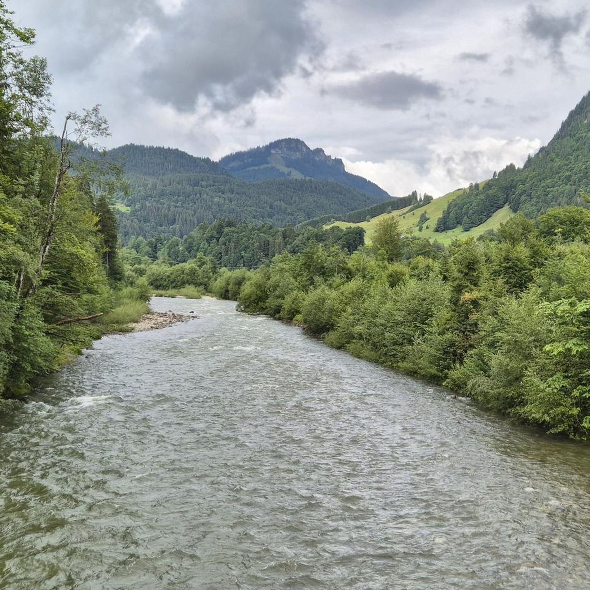
The Saar (French Sarre, Latin Saravus, Luxembourgish Saar) is a river flowing approximately northward in Alsace and Lorraine, as well as in the German states of Saarland and Rhineland-Palatinate. With a flow distance of 235 kilometers, it is the longest tributary of the Moselle; its catchment area covers 7431 square kilometers, which is about three times the area of Saarland (2569.69 km²). See: https://de.wikipedia.org/wiki/Saar
1
0

Beautiful quiet hiking trail, very well signposted
1
0


This reddish-brown wooden bridge safely crosses the Blies River and connects the hiking trails on both sides of the border. Surrounded by lush greenery, it offers an idyllic view of the river and invites you to pause for a moment. 💡 Tip: Pause for a moment in the middle of the bridge – from here, you can often spot ducks, fish, or even the shy kingfisher.
2
0

The Blies is the dominant river here and the bridge leads from D to Frk and back and connects.
1
0
Frequently Asked Questions
How many no traffic gravel bike trails are available around Kerbach?
There are over 50 dedicated no-traffic gravel bike trails around Kerbach. These routes range from moderate to difficult, offering varied experiences for different skill levels.
What kind of terrain can I expect on gravel bike trails near Kerbach?
The region around Kerbach offers a diverse landscape for gravel biking. You'll find a harmonious blend of forests, agricultural fields, and paths along waterways like the Lixing and Waeschbach streams. The wider Moselle region is known for its 'hills and valleys,' providing both relatively flat sections and more challenging ascents on unpaved roads and forest tracks.
Are there any circular gravel bike routes around Kerbach?
Yes, many of the gravel bike routes in the area are designed as loops. For example, you could explore the Niederwürzbacher Pond – Würzbacher Pond loop from Saarbrücken Ost, which offers a moderate challenge over 41.9 km. Another option is the Burbach Forest Pond – Burbach Pond loop from Saarbrücken Ost, a 36.6 km moderate route.
What do other gravel bikers say about the trails around Kerbach?
The komoot community highly rates the gravel biking experience around Kerbach, with an average score of 4.45 stars. Riders often praise the quiet, traffic-free nature of the trails and the beautiful, varied scenery.
Are there any gravel bike trails with significant elevation gain near Kerbach?
Absolutely. The 'hills and valleys' topography of the Moselle region ensures plenty of opportunities for elevation gain. For a challenging ride, consider the Mine Wendel – La Mine, Carreau Wendel loop from Hanweiler - Bad Rilchingen, which covers 65.6 km with over 650 meters of ascent. Another demanding option is the The Matz Bench – Karl-May-Weg Trail loop from Saarbrücken Ost, featuring over 550 meters of climbing over 29.2 km.
What natural features or landmarks can I see along the gravel bike trails?
The trails often pass through scenic areas. You might encounter the pleasant Waschbach valley, adorned with orchards, or catch glimpses of the Kreutzeck Reserve, known for its rich natural flora. While cycling isn't permitted inside the reserve, paths around it offer great views. You can also find highlights like the Schwarzenberg Tower for panoramic views or the tranquil Mühlenwald Pond.
Are there any historical sites or castles accessible from the gravel routes?
Yes, the broader region offers historical exploration. Some routes might bring you close to sites like the Château Fort de Forbach (Schlossberg Castle) or the Saarbrücken Palace Square. The Spicheren Memorial and Europastein is another significant landmark in the vicinity.
Is it possible to access gravel trails around Kerbach using public transport?
While specific public transport links directly to trailheads might vary, the region is generally accessible. Many routes start from towns like Saarbrücken Ost or Hanweiler - Bad Rilchingen, which typically have public transport connections. It's advisable to check local bus or train schedules for the most convenient access points to your chosen starting location.
What is the best time of year to go gravel biking in Kerbach?
The spring and autumn months generally offer the most pleasant conditions for gravel biking in Kerbach. The weather is milder, and the natural scenery, with blooming flowers or vibrant fall foliage, is particularly beautiful. Summer can also be enjoyable, especially on shaded forest trails, but be prepared for warmer temperatures. Winter riding is possible, but trails may be muddy or icy.
Are there any long-distance gravel biking options that connect to the Kerbach area?
While Kerbach itself is more focused on local trails, the broader Moselle department features the Moselle Cycle Path. Although largely paved, it can provide connections to other gravel-friendly sections and offers a significant long-distance route through picturesque villages and vineyards, which you could use to link up with more unpaved paths.
Where can I find parking for gravel bike trails near Kerbach?
Many of the routes start from towns or villages that offer public parking facilities. For example, routes originating from Saarbrücken Ost or Hanweiler - Bad Rilchingen typically have parking available. It's always a good idea to check the specific tour details on komoot for recommended starting points and parking information before you head out.
Most popular attractions around Kerbach

Get inspired with the komoot mobile app


Explore more
Browse the best Gravel rides in other regions.
