The best traffic-free bike rides around Gänglingen
4.5
(95)
601
riders
93
rides
No traffic touring cycling routes around Gänglingen are situated within the Moselle department of northeastern France, characterized by the meandering Moselle River Valley. The terrain features gentle gradients, flanked by hillsides with vineyards and deciduous forests. This area is part of the Lorraine Regional Natural Park, offering a landscape of agricultural plateaus, forest valleys, and waterways including canals and lakes, with elevations ranging from flat to moderate climbs.
Best no traffic touring cycling routes around Gänglingen
- The most popular no…
Last updated: August 27, 2026
3.5
(2)
17
riders
31.1km
02:35
380m
380m
Moderate bike ride. Good fitness required. Mostly paved surfaces. Suitable for all skill levels.
5.0
(1)
11
riders
21.9km
01:52
290m
290m
Moderate bike ride. Good fitness required. Mostly paved surfaces. Suitable for all skill levels.

Sign up for free
9
riders
27.0km
02:13
310m
310m
Moderate bike ride. Good fitness required. Mostly paved surfaces. Suitable for all skill levels.
5.0
(1)
10
riders
20.8km
01:42
300m
300m
Moderate bike ride. Good fitness required. Mostly paved surfaces. Suitable for all skill levels.
5
riders
23.6km
01:43
340m
340m
Moderate bike ride. Good fitness required. Mostly paved surfaces. Suitable for all skill levels.
Get access to more routes and recommendations from other explorers.
Sign up for free
Already have an account?
Our route recommendations are based on thousands of hikes, rides, and runs completed by other people on komoot.
Start today with a free account
Your next adventure awaits.
Login or Signup
Popular around Gänglingen
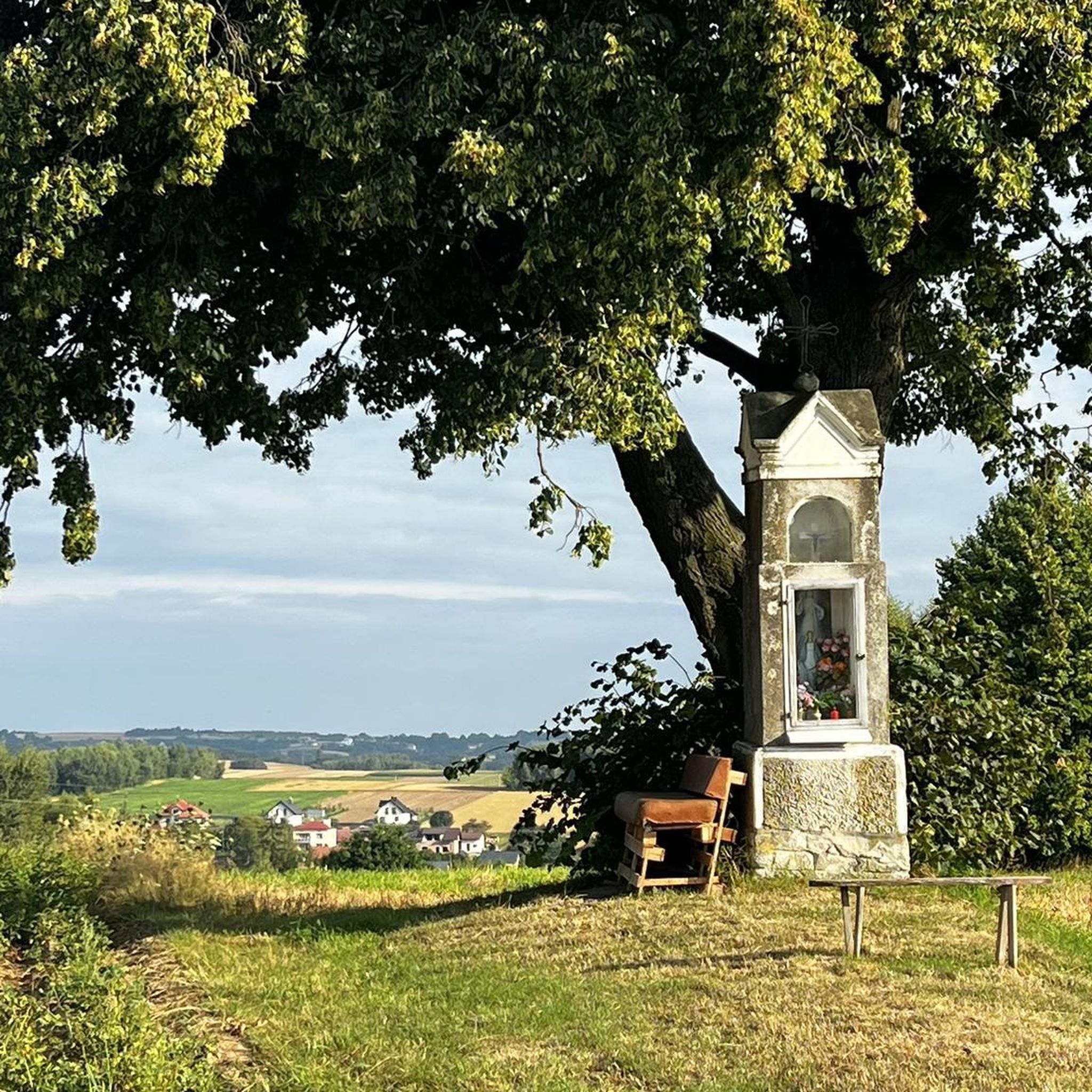

Tips from the Community

The Maginot Line: The French Wall | ARTE https://youtu.be/Bvtxa08ysgc For those who would like to know more about the Maginot Line: de.wikipedia.org/wiki/Liste_der_Ouvrages_der_Maginot-Linie
1
0

This work is part of the fortifications of the infamous Maginot line. It is made up of three combat blocks, one of which serves as the entrance. It is possible to visit the interior two Sundays a month. The opening dates are available on the book's website: https://www.lebambesch.com/visiter-le-bambesch/.
3
0
Frequently Asked Questions
How many no-traffic touring cycling routes are there in Gänglingen?
Komoot offers over 90 no-traffic touring cycling routes around Gänglingen. These routes cater to various skill levels, with a good selection of moderate and challenging options, ensuring there's something for every touring cyclist looking for a peaceful ride.
What is the best season for touring cycling in Gänglingen?
The region around Gänglingen is beautiful throughout the warmer months. Spring and autumn offer pleasant temperatures and vibrant scenery, with spring bringing blooming vineyards and autumn showcasing rich fall colors. Summer is also suitable, especially for rides along the Moselle River where the gentle breeze can be refreshing. Always check local weather forecasts before heading out.
Are there easy no-traffic touring routes suitable for beginners or families?
Yes, there are a few easy no-traffic touring routes around Gänglingen, perfect for beginners or families. The Moselle Cycle Path, accessible from the area, is known for its predominantly flat terrain and well-signposted paths, making it very family-friendly. While specific easy routes are limited in this guide, you can find options like the Rive Nord – Lake (Carrefour de Singles) loop from Créhange which offers a moderate but manageable distance.
What can I see along the no-traffic touring cycling routes in Gänglingen?
The routes often pass through diverse landscapes, including the meandering Moselle River Valley, vineyards, and forests. You can also discover historical sites. For example, the Maginot, bloc 3 de Téting – Vue loop from Créhange takes you near remnants of the Maginot Line. Other routes might lead you close to charming villages or offer views of the Lorraine Regional Natural Park.
Are there any interesting historical landmarks around Gänglingen?
Absolutely. The region is rich in history. Cyclists can explore remnants of the Maginot Line, such as the Ouvrage de l'Einseling – Maginot Line Bunker 36 Castelberg. Nearby, you can also find the elegant Pange Castle with its splendid gardens, offering a glimpse into 18th-century architecture.
Are there scenic viewpoints along the no-traffic touring routes in Gänglingen?
Yes, the varied terrain around Gänglingen offers several opportunities for scenic views. One notable spot is Mont Saint-Pierre, which provides panoramic views of the Lorraine plateau. Many routes through the Moselle Valley also offer picturesque vistas of the river, vineyards, and surrounding hills.
Where can I park my car when visiting the no-traffic touring routes in Gänglingen?
While specific parking information for each route start point isn't always available, many villages and towns along the Moselle River and near popular trailheads offer public parking facilities. It's advisable to check the starting point of your chosen route on komoot for user-contributed parking details or look for municipal parking in nearby towns like Créhange or Flétrange, which are common starting points for routes such as the Ouvrage de Bambesch – Bunker loop from Flétrange.
Is it possible to reach the no-traffic touring routes in Gänglingen by public transport?
Access to specific trailheads by public transport can vary. The wider Moselle region has some train and bus services connecting towns. For routes starting directly in Gänglingen or smaller villages, public transport might be limited. However, larger towns like Metz, which are well-connected by public transport, offer access to sections of the Moselle Cycle Path, from where you can cycle towards the Gänglingen area. Always check local bus and train schedules for the most up-to-date information.
Are there circular no-traffic touring bike routes in Gänglingen?
Yes, many of the no-traffic touring routes in Gänglingen are designed as circular loops, allowing you to start and end at the same point. Examples include the Bunker loop from Flétrange and the Rive Nord loop from Créhange. These loops are convenient for day trips, as they bring you back to your starting location without needing to retrace your steps.
What do other touring cyclists enjoy the most about touring cycling in Gänglingen?
The area is highly rated by the komoot community, with an average score of 4.5 stars. Reviewers often praise the peacefulness of the no-traffic routes, the beautiful and varied landscapes, and the opportunity to combine cycling with exploring historical sites like the Maginot Line. The well-maintained paths and scenic views along the Moselle River are frequently highlighted as major draws.
Are there bike-friendly cafes or places to refuel along the no-traffic touring routes?
While specific bike-friendly cafes are not listed for every route, the villages and towns along the Moselle River and within the Lorraine Regional Natural Park often have local bakeries, small cafes, or restaurants where cyclists can stop for refreshments. It's a good idea to carry some snacks and water, especially on longer stretches, and plan your stops in advance by checking village amenities on your route map.
Most popular attractions around Gänglingen

Get inspired with the komoot mobile app


Explore more
Browse the best Cycling routes in other regions.
